I first heard about this route about four years ago from Brett Maune. I have been itching to get up to that area but just seem to never have the time when the weather was right. it was nice to finally get a chance
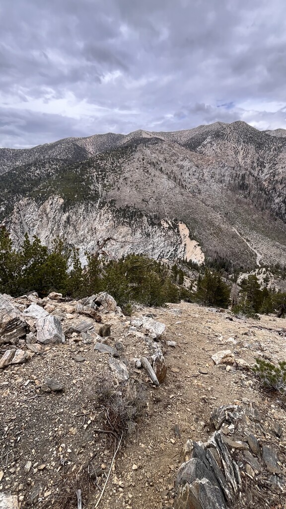
I started just before 5 AM with a 12 pound kit and enough water to get me to High Creek. I passed a couple of groups on my way up to the first peak, but overall, I didn’t run into too many people between the start and San Gorgonio. The trailhead starts at 6000 feet but you quickly climb up to 10,000 in less than 8 miles. I kept up a decent pace as I tagged peaks one by one until I hit Charlton. I don’t know if it was the altitude, because I typically don’t struggle too much with that, or having been feeling off for the couple days before the trip, but either way, I felt like an 80-year-old man trying to finish that peak. I just kept doing what my body would let me do as I hit the next two peaks. I had to sit and rest a bit off and on. Around peak nine, San Gorgonio, I started to feel a little better. I talked to a few people at the top as a little bit of rain and wind started setting in. I was already a little behind my proposed time so I headed down for High Creek for water.
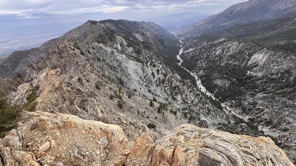
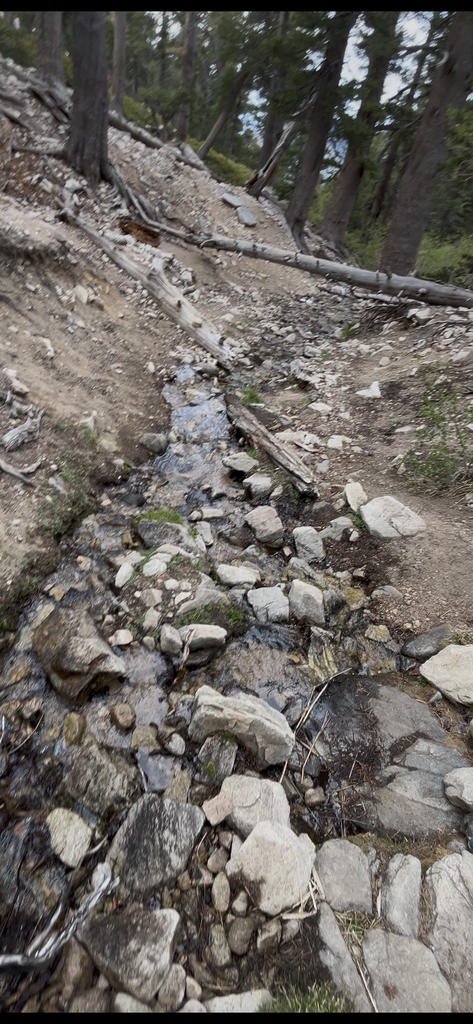
I contemplated quitting mainly due to the pain in my back but after a couple of Tylenol, I knew I had no excuse as the pain subsided. I knew I had a difficult road ahead just trying to get across to Yucaipa Ridge. There’s no easy way to do it, you just do it. There’s a huge burn scar on the south side of San Gorgonio from a few years ago with some plant life making a comeback. Since the grade is so steep, you find yourself slipping and falling all over the place trying not to get impaled by half burnt objects. It takes a lot out of you. I finally made it to the “jump off”; the saddle that sits between the two ridge lines. I climbed the steep and loose line up to the first peak of the Yucaipa Ridge, Galena Peak. That was the first place in a while I had been able to get cell service. I gave my family a heads up on my timing and marched forward.
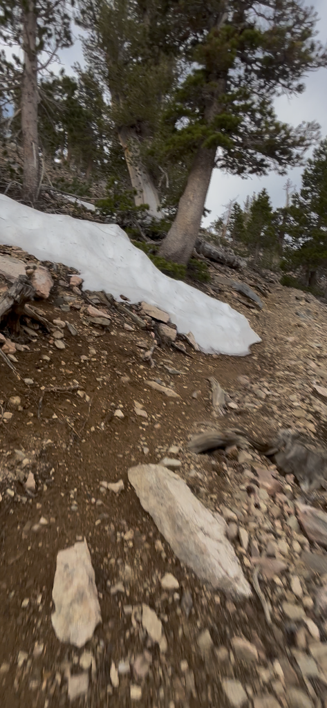
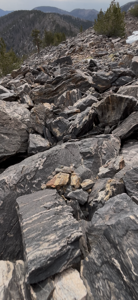
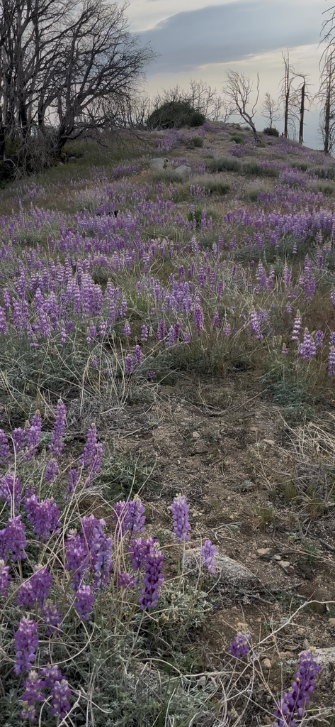
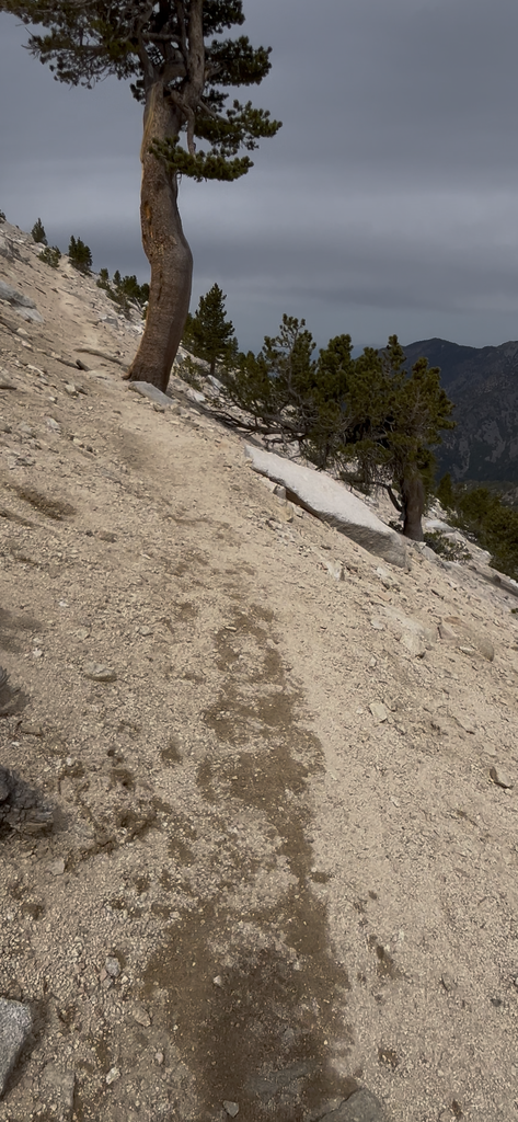
the first half of this trip is done mostly on trail with some off trail travel but never technical. However, on the Yucaipa Ridge, the first few peaks make up for the lack of technicality. Nothing super technical, only third and fourth class, depending on the direction you go, but all of it is ready to crumble under your feet. And if you go down off of that ridge onto the north side, that’s probably the end of your trip, maybe more. I made my way across the jagged landscape as carefully as I could, while keeping the highest ground possible. Once I made it to Wanat, the technical level would drop, but the level of brush would get worse. it never gets that bad, it just doesn’t let up. If you’re trying to move across it quickly, you can get tripped up constantly.
at one point, I made it to the service road that comes up the south side of the Ridgeline. It was a nice break from the off trail travel, but I almost found myself going too far and starting to head down the mountain the wrong way. I had to backtrack a little bit and find my way to Wilshire Mountain, which is not easy to find. I continued moving through the brush and peaks until I hit the last one, Birch Mountain. I was trying to figure out the timing to let my parents know about my finish point because there would be no cell service where they were and they were helping me by picking me up and taking me back to my truck parked at the other trailhead. Once I got below Birch Mountain, I connected onto the dilapidated Old truck trail full of Foxtails and rocks until it finally connected me to the bear paw reserve dirt road. From there, it was about 2 1/2 miles of jogging down the dirt road to the finish.
I was pretty done. That’s not an easy trip, but I guess it wouldn’t be an adventure if it was easy.