


Day One:
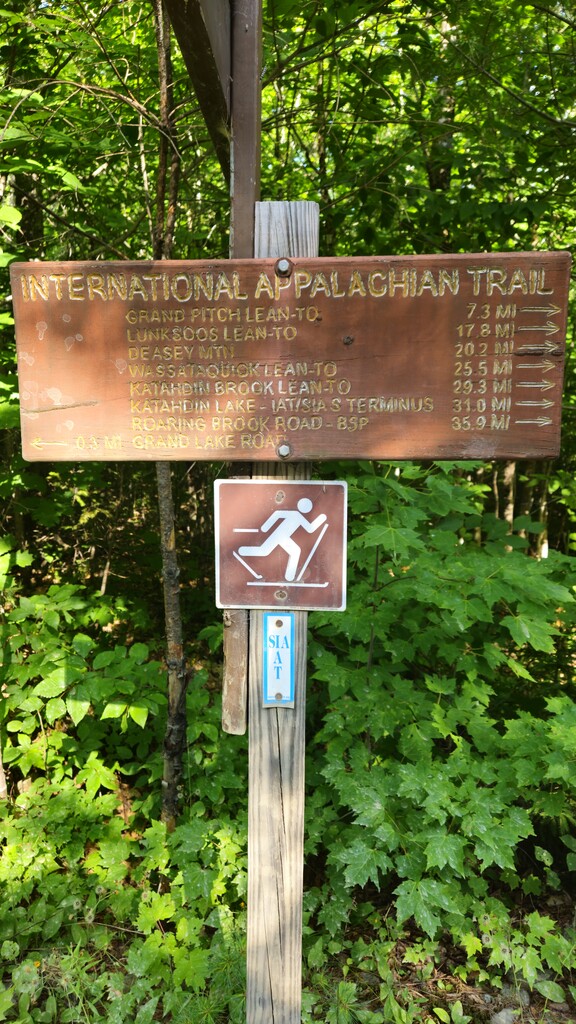
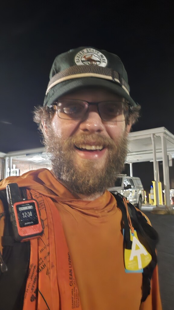
Steeping off from the trails Southern Terminus in Katahdin Woods and Water, I began a solo unsupported FKT attempt of the Maine AIT at 0531 on my 33rd Birthday, July 18, 2024.
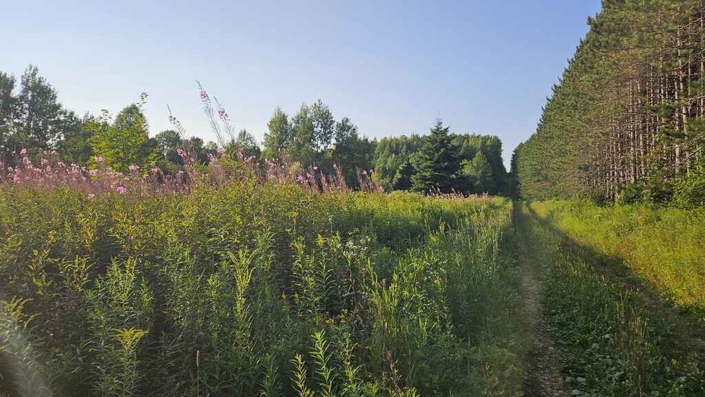
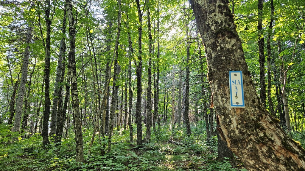
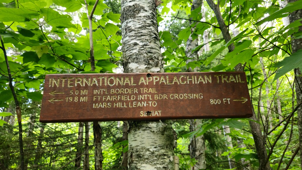
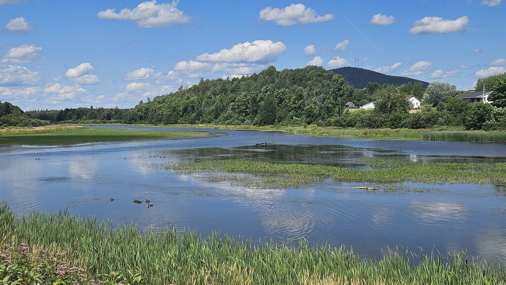
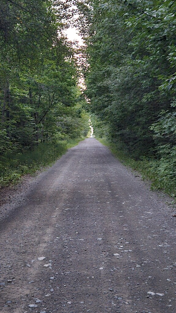
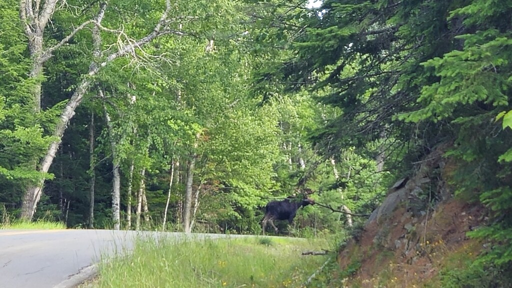
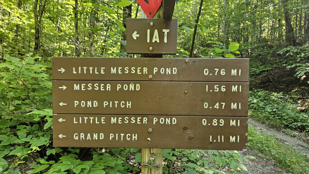
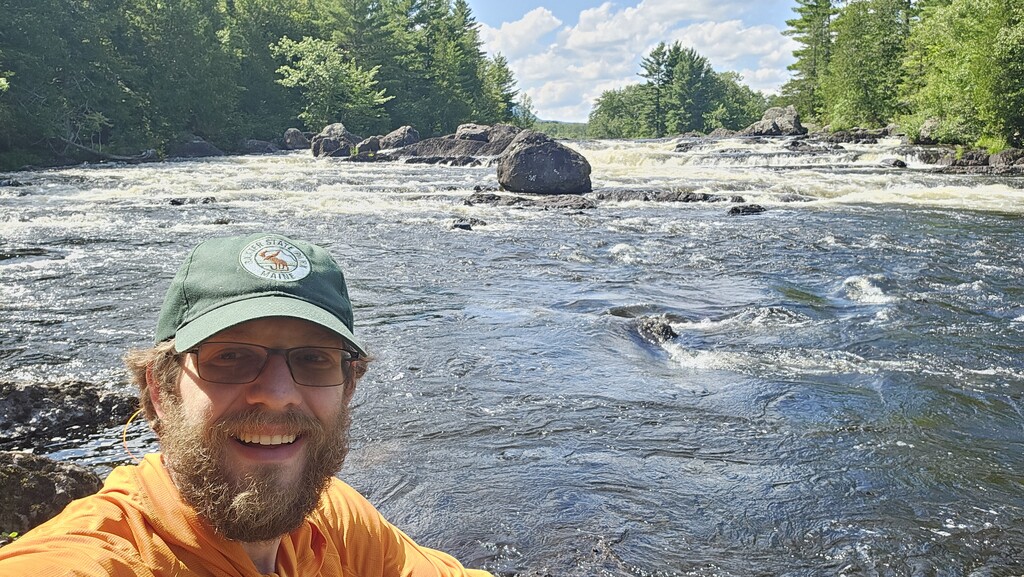
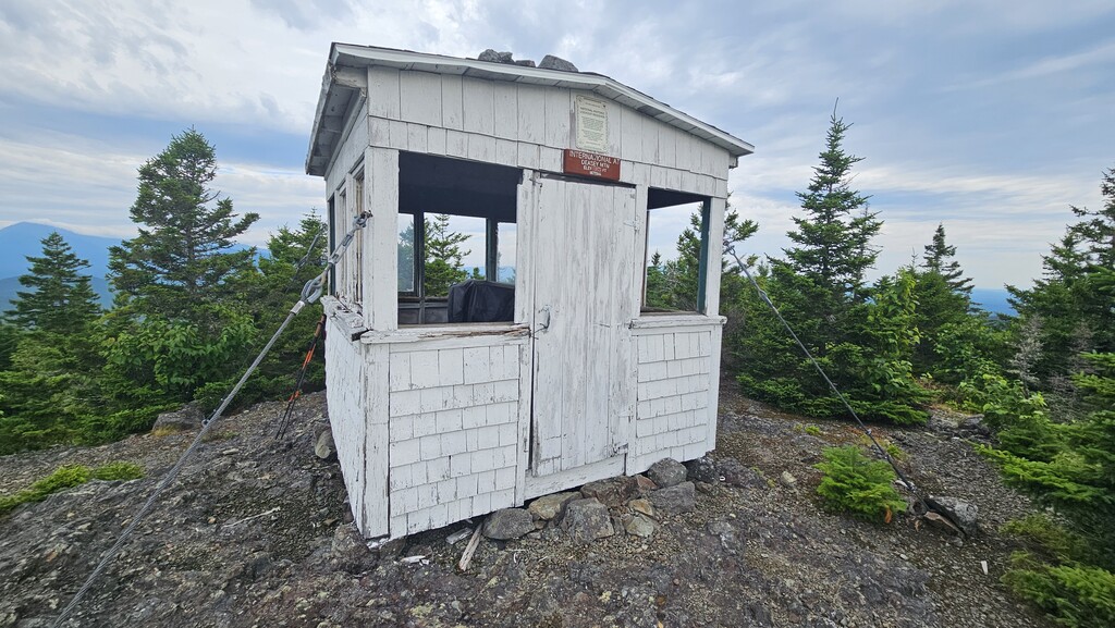
The first 30 miles of the AIT, Katahdin Wood and Water, proved to be the highlight and best blazed section of the network with some actual back country trails intertwining between the overgrown road systems. It also offered the best views of Mt. Katahdin from Deasey Mountain Fire Lookout, the E. Penobscot River, and provided several backcountry campsites and shelter options, all promising solitude. I ran into a father and daughter duo portaging around Haskell Rock, they would prove to be the only unmotorized individuals I would see on the entire trail network.
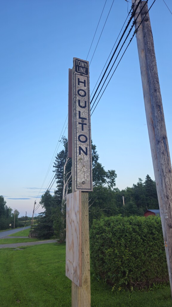
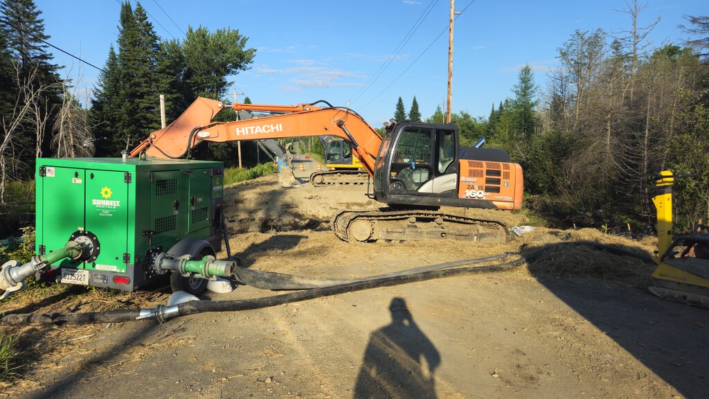
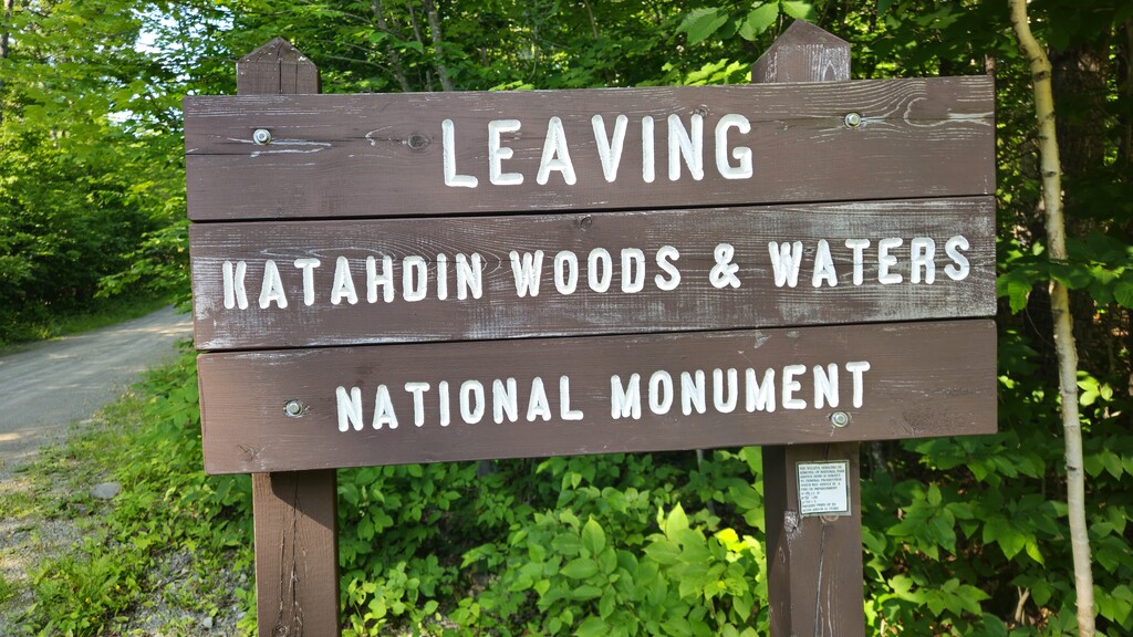
Leaving Katahdin Woods and Water the trail dumps you out onto Grand Lake Road, close to the Matagamon Wilderness Campground, where the beginning of a near 50 mile road walk to the town of Houlton, Maine begins. After completing roughly 10 miles along the hard-top, I pitched up in a camping area located on the left side of the roadway along the Seboeis River at Mile Marker 38.6.
Day Two:
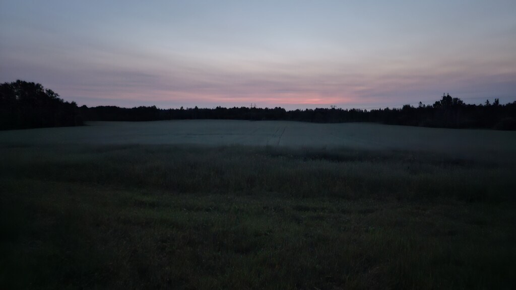
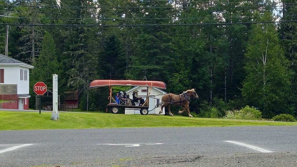
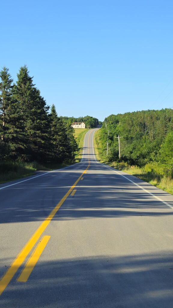
The road walk continues. Alternating between hard top and logging roads, this middle section of the AIT serves to be the most grueling on the body. With my joints being pounded into submission from the unforgiving terrain, and constant beaming from the hot summer sun of the widened roadways, this section was a test of mental fortitude. I stopped at the Smyrna Mills town hall/post office around mid-day the seek a short reprieve and recharge my devices at the public outlet located outside and in front of the building, before packing up my things and continuing north along Route 2 and through an abundant Amish community of my way to Houlton. Worrying about camp spots along the way, I pushed myself to reach the trail Junction located behind Hannaford Supermarket before calling the end of a 47.6 mile day and pitching my tent for the evening. Sleep was hard to come by, as the Friday night meant late night cruises from ATV's through all hours of the night. Thank god I packed my earplugs.
Day Three:
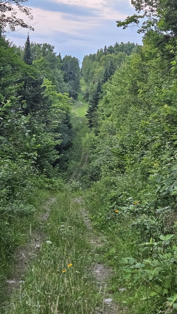
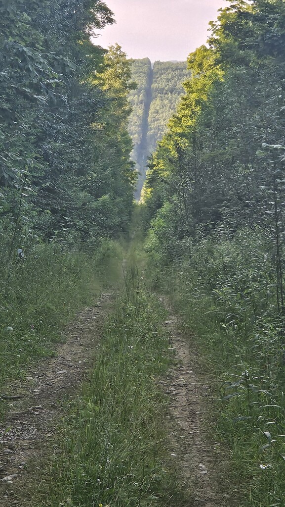
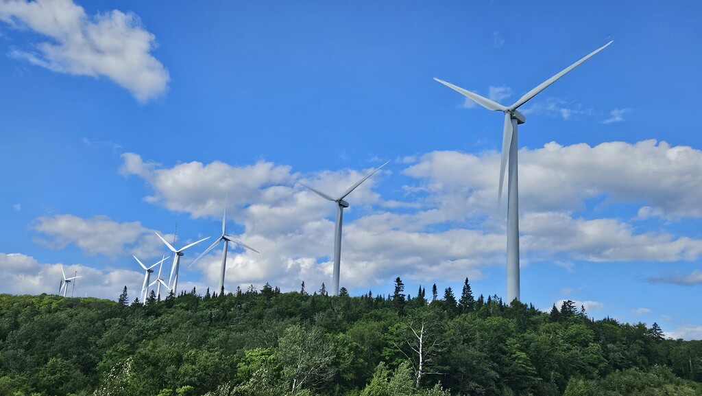
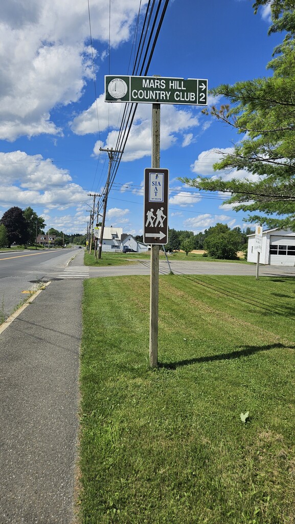
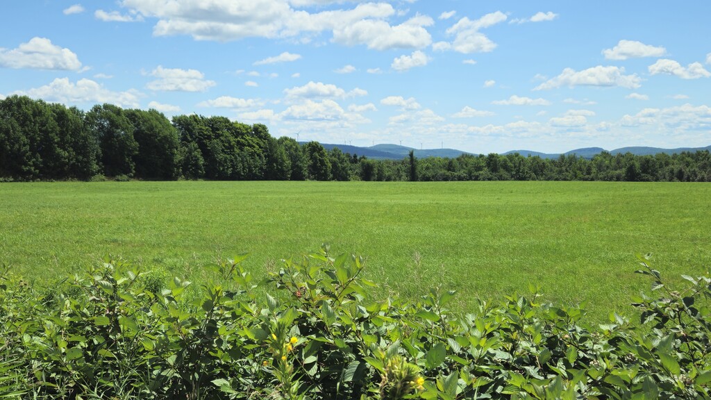
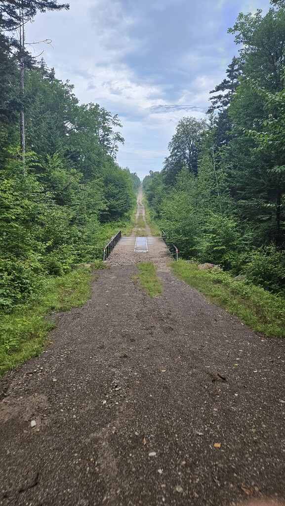
A different type of road walk. Moving north into Aroostook County, the AIT pick-up up on the flat and well maintained "rail-trail" until you reach the town of Mars Hill. This area of trail should have been easy going, but my sluggish body made the trail difficult yet. I saw a bear cub run on the trail a few hundred feet in front of me before making lots of noise and looking for it's mother. She never appeared, after a few minutes, I nervously pushed by and continued north with my goal of the trails final climb, Mars Hill mountain, or "Big Rock" as the locals call it simply by the name of the Ski Resort the dawns it. The road walk between the rail trail and the mountain was hard, as it didn't offer a shoulder that wasn't overgrown and was surrounded by homes and fields, the direct sun was inevitable. The climb directly up the ski slope on the mountains southern side has difficult and hard to gain traction, and even harder to regain momentum after you stopped. Once on top of the ridge, the windfarm offer a nice cooling breeze to reward you for your efforts. The way down the peak interchanges between the windfarm roads and backcountry trails that are well developed, but easy to follow until you get dumped out onto Knoxford Road and make your way towards the trails final challenge, the Slash.
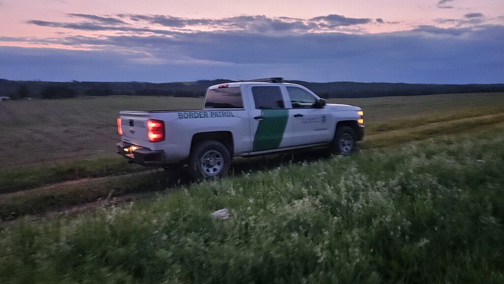
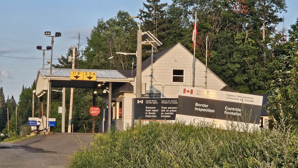
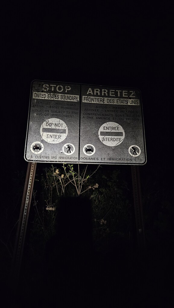
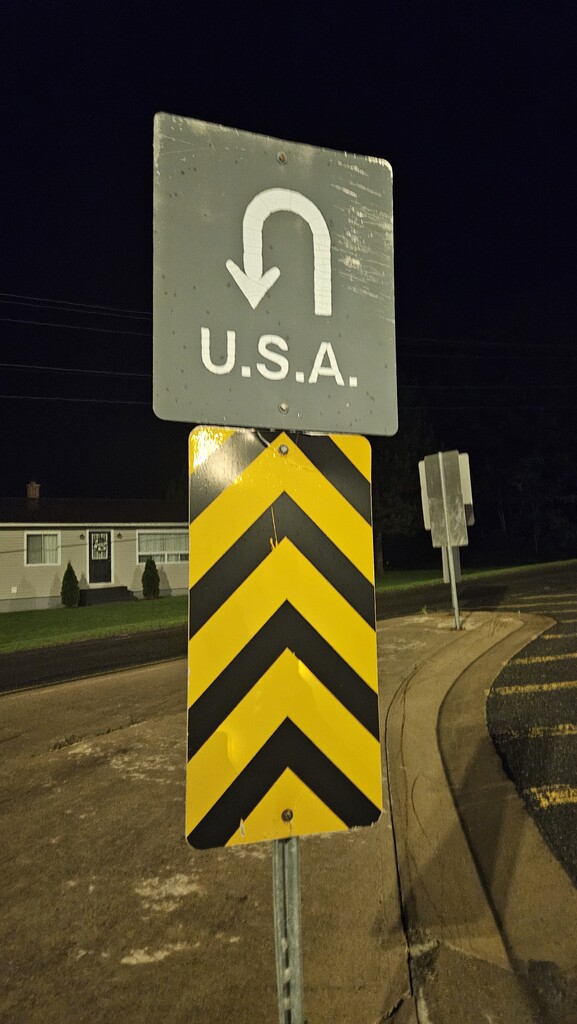
Coming to a closed road about, you can see homes in Canada on the other side of closed gate with a stop sign on it, overgrown in years of brush. I waved to a couple standing in their front yard, but was only met with stares, so a turned left and began heading towards the northern terminus. Most of the slash in easily followable, as you walk in the tire marks and border patrol vehicles, but required fording across the River De Chute and Beaver Bogs. Navigating the bogs at night by way of headlamp made the last leg of the journey an extra challenge. I the edge of mental and physical exhaustion, it also began to rain. I wanted to rest, part of me wanted to cry, but the only way to get out of the situation was to continue moving north. Feeling like a had just lost a boxing match to Rocky Balboa I pooped out onto Sam Everett Road nearly 3 miles from the border crossing and began the final road walk to the trails northern terminus. Afraid that I may stop tracking to early, I pulled out my Passport and entered Canada before turning off my tracking devices and turning around clearing customs in walk in the United States just shortly after mid-night on July 21, 2024
This was a solo journey, only being accompanied by a well armed Border Patrol agent for a couple hundred feet along the border slash to inquire why I was walking the strip between our national borders. All food was carried from north to south without stops for additional supplies, and water was only procured from natural water sources along the route. Public outlets located outside of the Smyrna Mills Post Office/Town Hall were used to recharge devices