
October 13, 2024 Rush Creek Trail Trip Report
I started this long run work-out, wrapped into an FKT attempt (out and back, unsupported) at about 12:19 hrs CST. It was a cool, fall day. The average temperature throughout the run was 64 degrees F, but felt a lot cooler than that. There were blustery winds with gusts in the 20-25 mph range. I ran the route from west to east and then back. Wind was mostly at my back for the out portion and pretty much in my face the whole back route. I took an Aonijie running belt with 2 x 500ml soft flasks, each filled with Tailwind. I had 3 gels, 2 Gu roctane and 1 SIS.
A few things of note. The original gpx file for this route started at the Rush Creek Group Camp. This entry was gated from Fernbrook Ln N and I could not access it. Therefore, I went to the trail access at Elm Creek Rd. / Fernbrook Ln N, which is a bit farther north. I did this run/FKT attempt from that location, which made it just a bit longer than the original gpx file.
The original gpx file deviated from the trail and went onto the James Deane Pkwy roadway for a short time a couple miles in. This kind of confused me and I did a little bit of circling back and forth near the Historic Pierre Bottineau House. I ended up following the original gpx on the roadway for the out portion of the run. There was some traffic and congestion on the road when I ran the out portion there, so I decided to stay on the trail itself on the back portion (not go onto the road).
Towards the east end of the route, just prior to reaching the Coon Rapids Dam, there was road and trail construction in the area of W River Rd. On the out portion, I went west and south of the trailhead to get past the construction on some soft dirt paths made for the work trucks and equipment. On the back portion, I circled a little bit trying to find the way through and eventually found a way through little bit north of the way I came in.
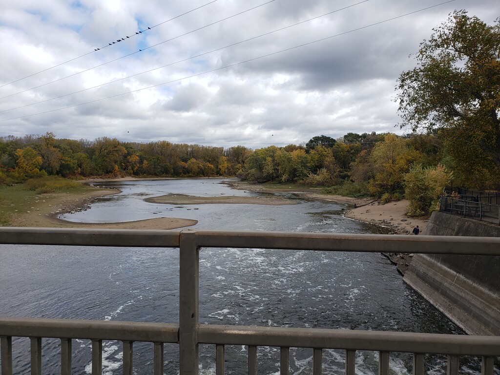
I completed the out portion at the east end of the FKT trail in 1:09:06, which shows on my pace chart. I stopped there briefly to take a photograph for documentation. In looking at some of the other pace drops on the pace chart, those were times when I stopped to discard gel trash or slowed to take hydration.
I completed the total out and back route from the Elm Creek Rd. / Fernbrook Ln N trail access in 2:18:35, for a total distance of 21.19 according to my Garmin Epix Pro.
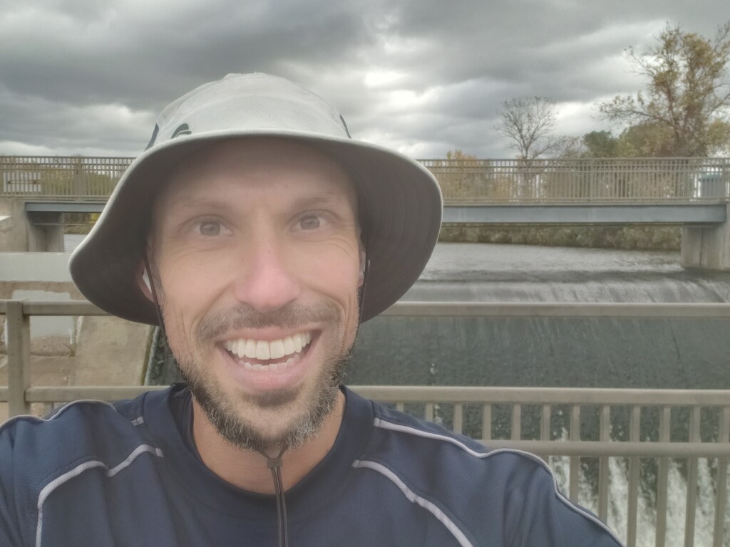
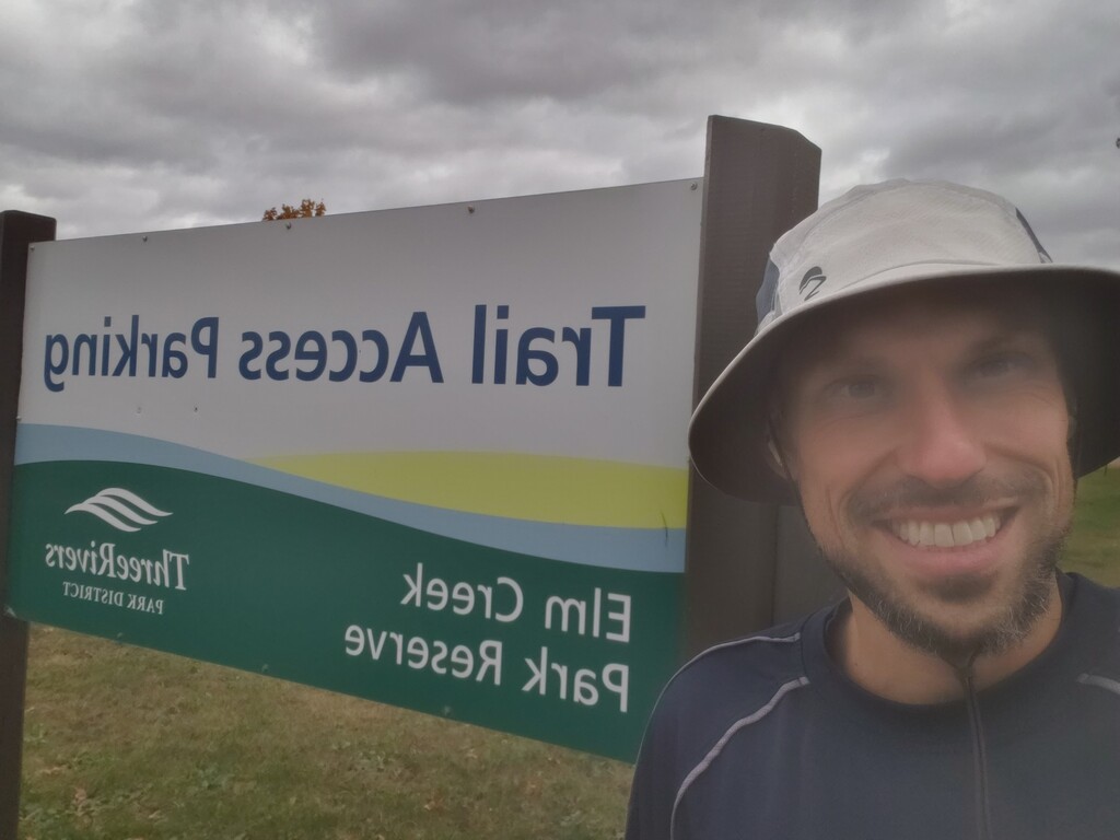
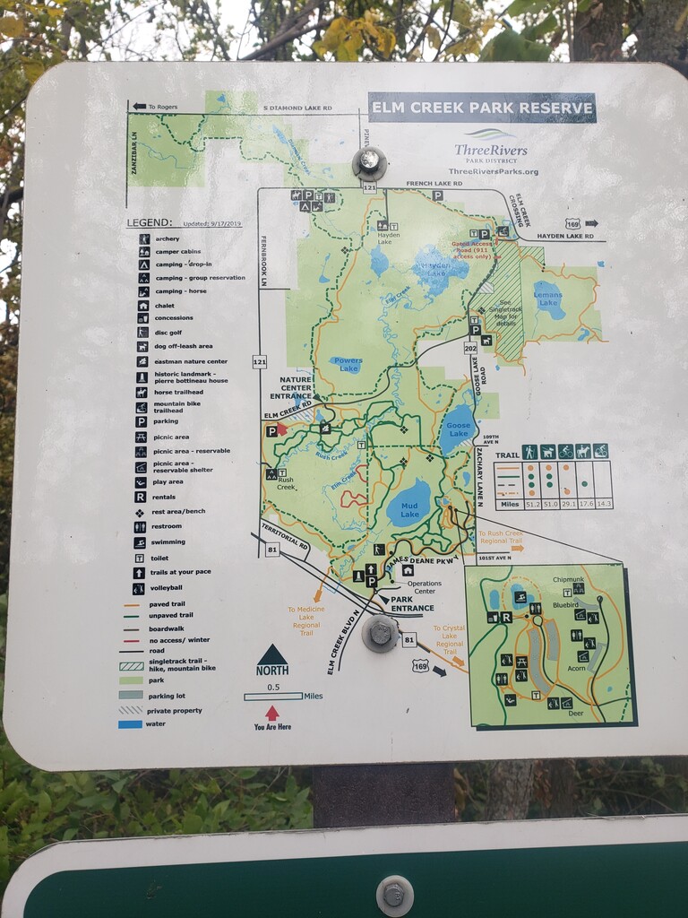
I took a photograph of myself at the trailhead shortly before I began, along with a trail map at that location, showing the location’s orientation within the park. I also took a photograph of myself a short time after finishing.