Route: Whitney Portal → Mount Whitney → JMT → Forester Pass → Roads End
Distance: ~55 miles Gain: +11,000 ft Loss: –15,000 ft Time: 24h17m
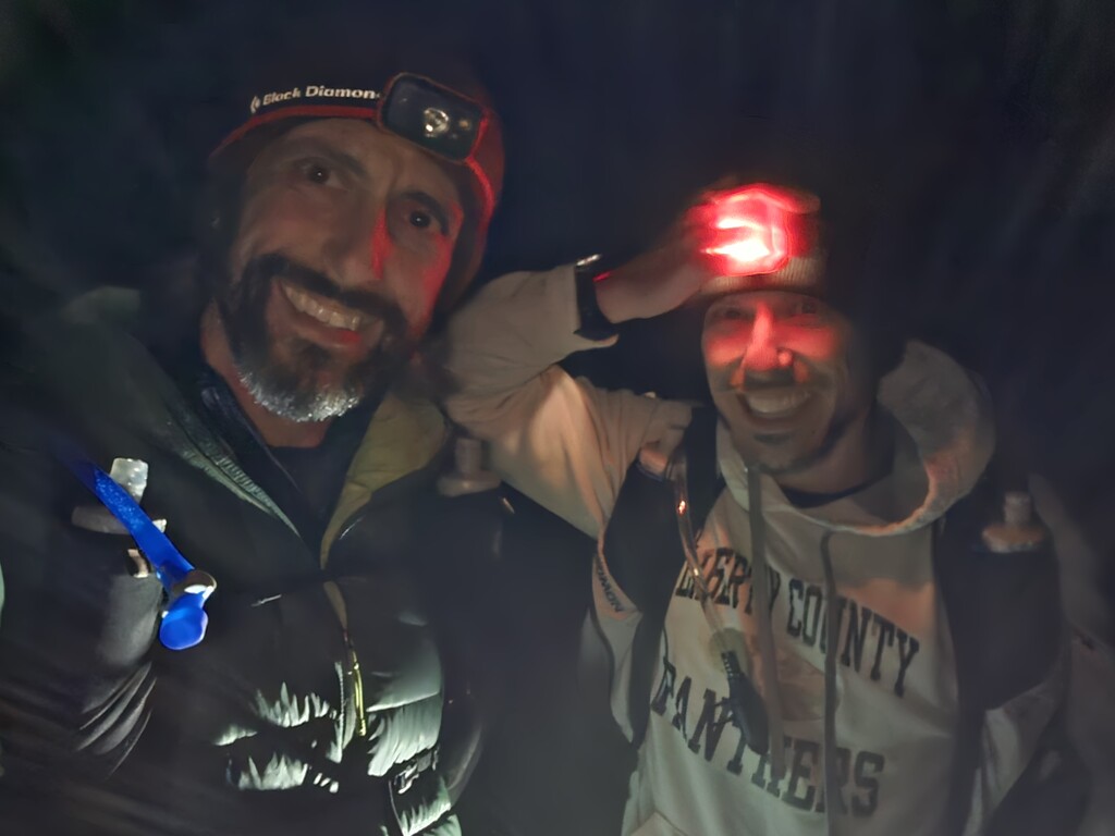
Style: Unsupported, two-person team
Overview
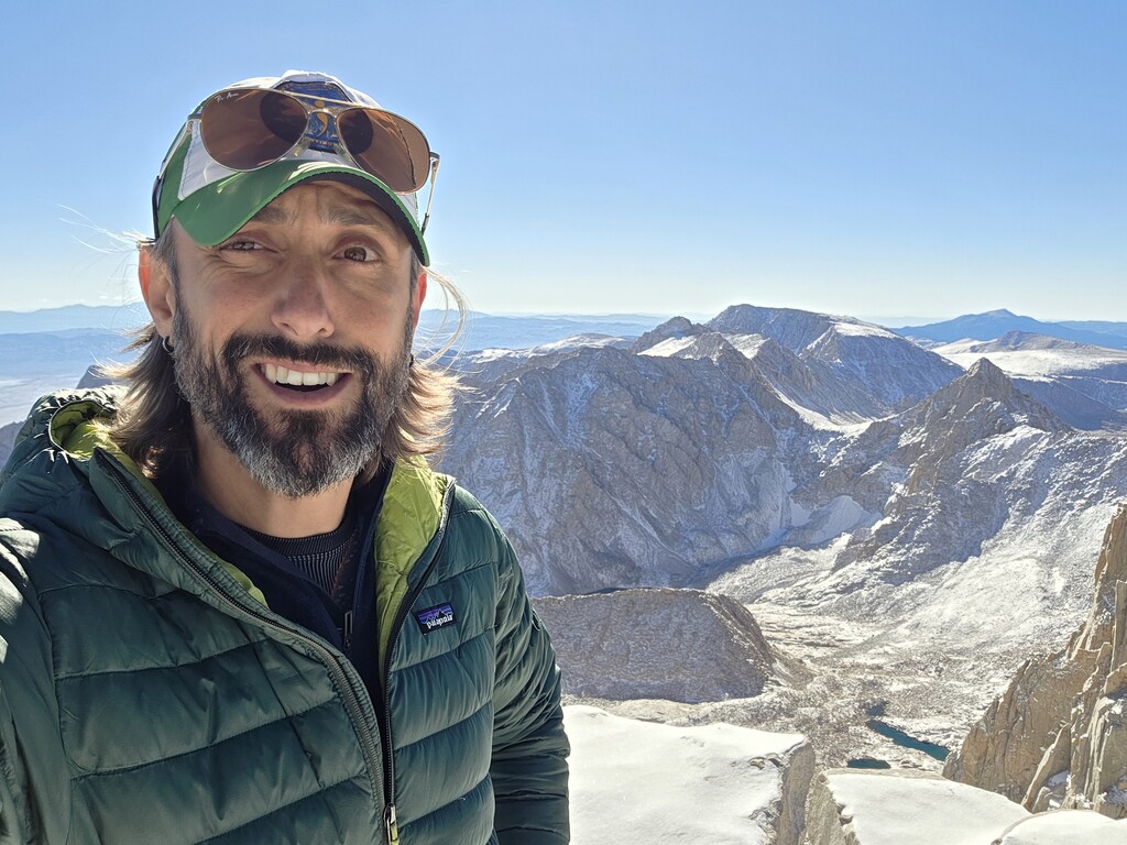
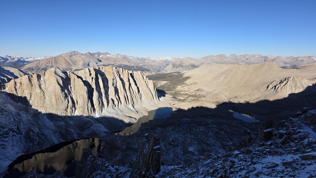
This point-to-point traverse links the eastern and western Sierra Nevada, crossing the highest point in the continental US: Mount Whitney (14,505 ft), as well as the highest pass on the PCT: Forester Pass (13,153 ft). Nearly the entire first 30 miles lie above 10,000 feet, making altitude, not distance, the main challenge.
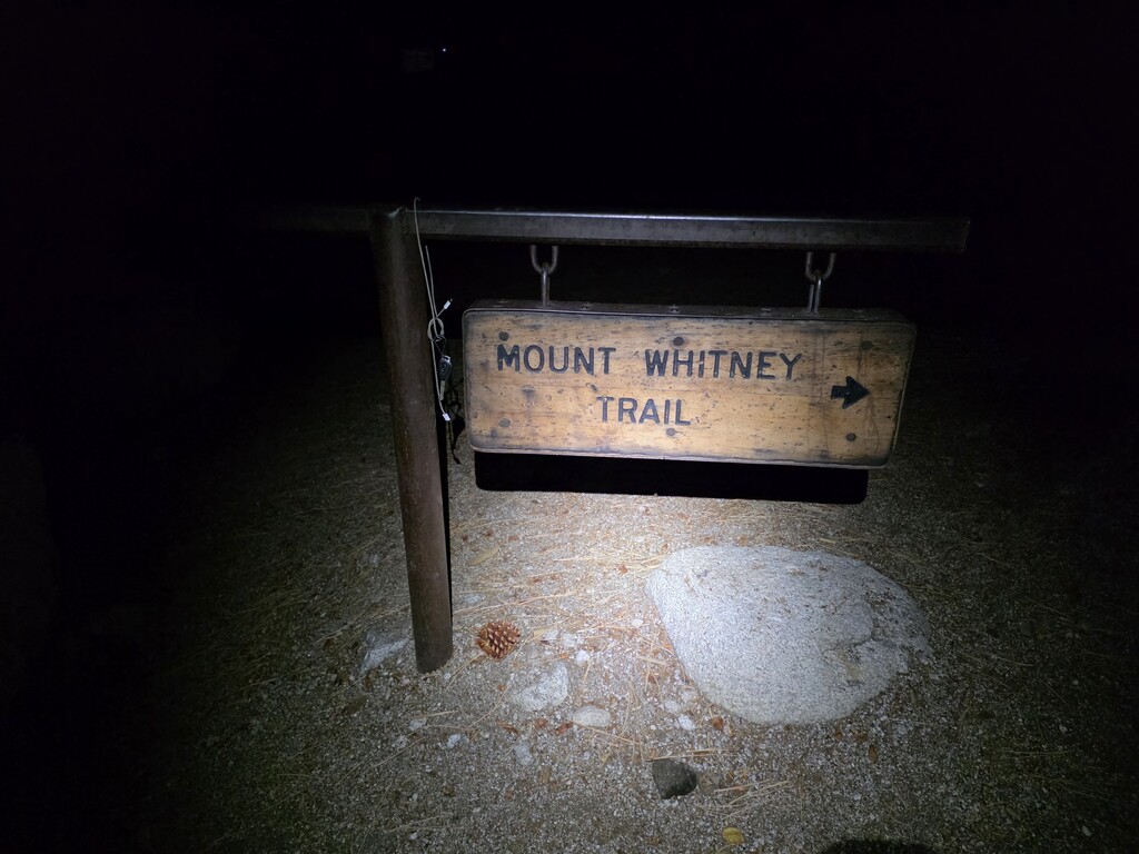
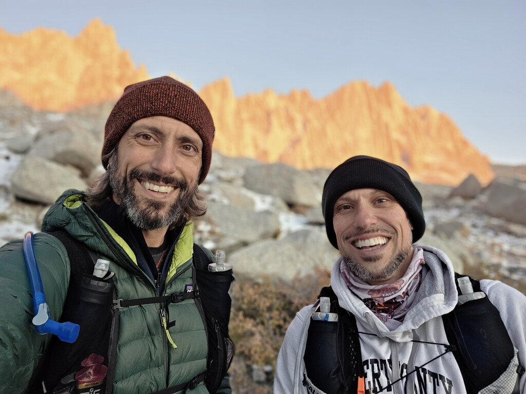
We started from Whitney Portal under clear skies and a bright moon, aiming to reach Kings Canyon by nightfall. An early-season snowstorm from the prior day made sure that plan didn’t last long.
Conditions
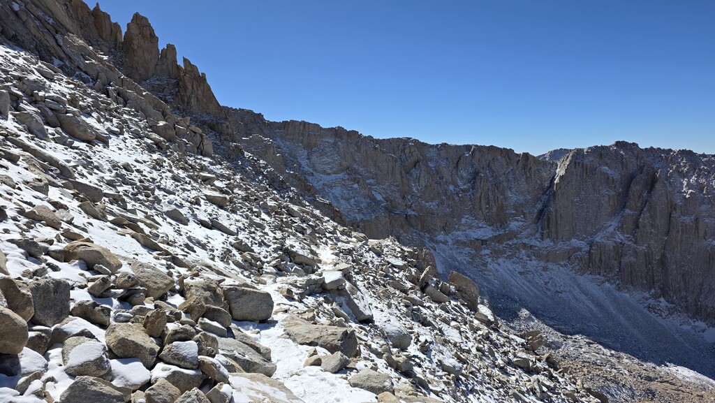
A few inches of snow fell the night before the attempt, turning the upper mountain into a winter route. Temperatures at the start were in the 20s, dropping into single digits at higher elevations. Snow appeared around 10,000 ft and deepened to about 6 inches above Trail Camp. The descent from Whitney was slow and snowy, but the trail cleared below 11,000 ft.
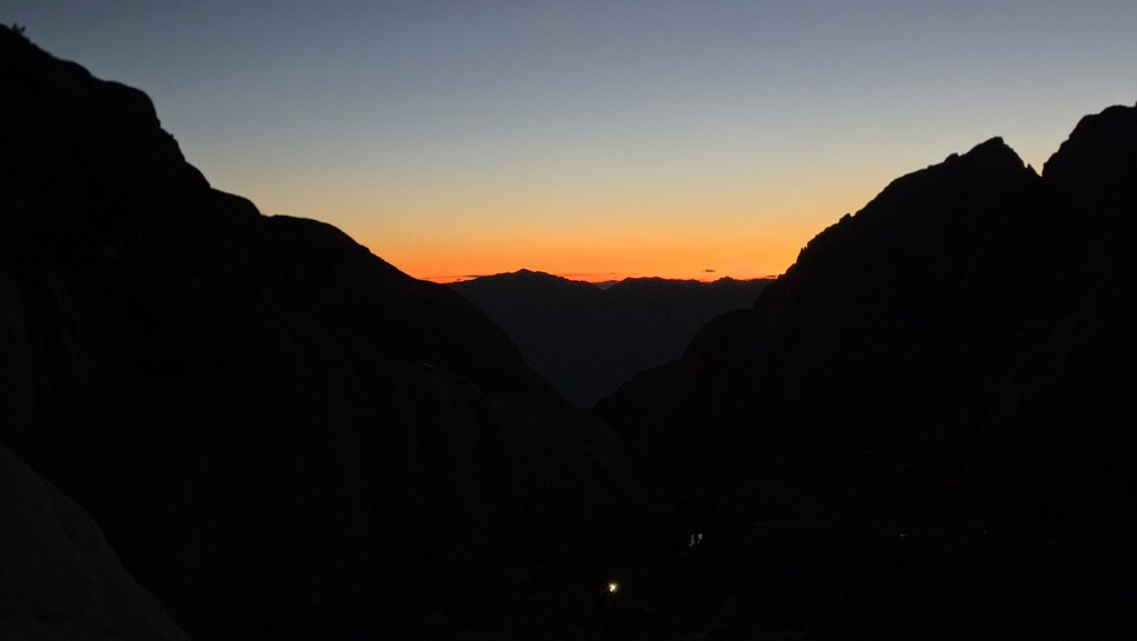
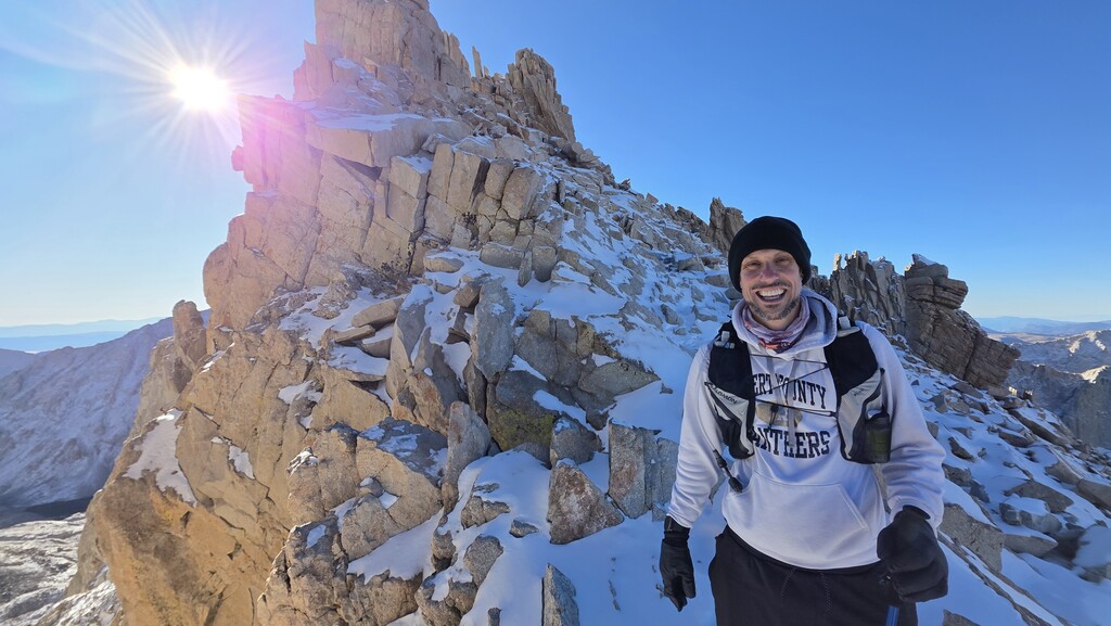
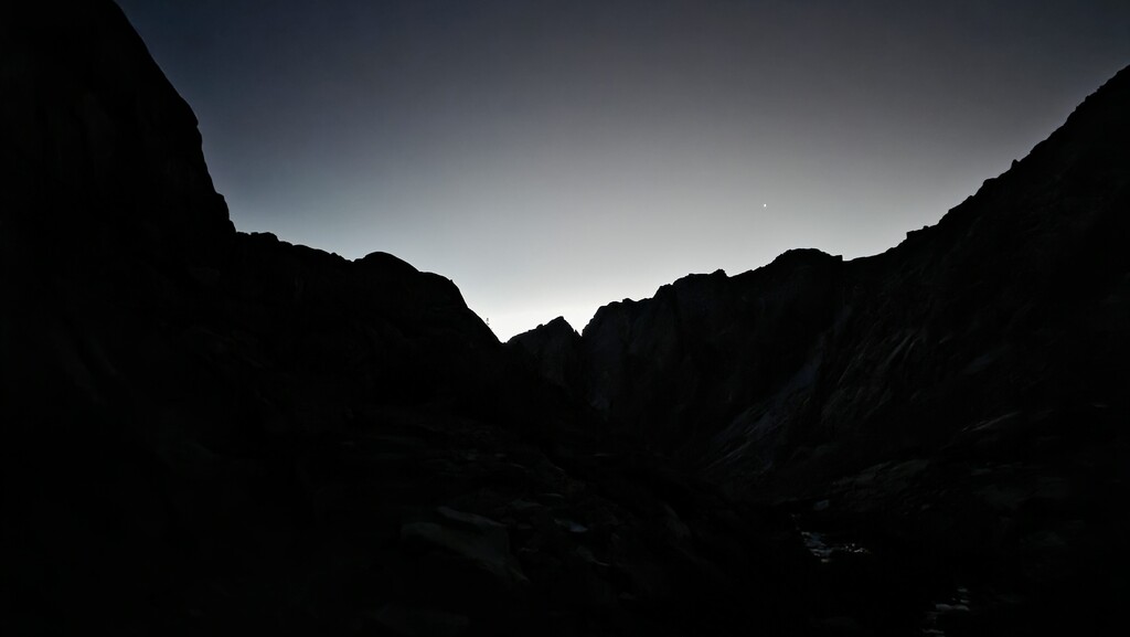
By the time we began climbing Forester Pass in the late afternoon the temperature was plummeting again. The final push to the 13,153-foot summit came just as the sun dropped behind the peaks. We were treated to a rare motionless calm at the pass before night took over.
Route and Effort
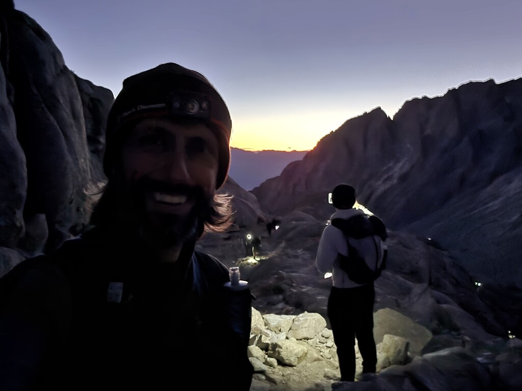
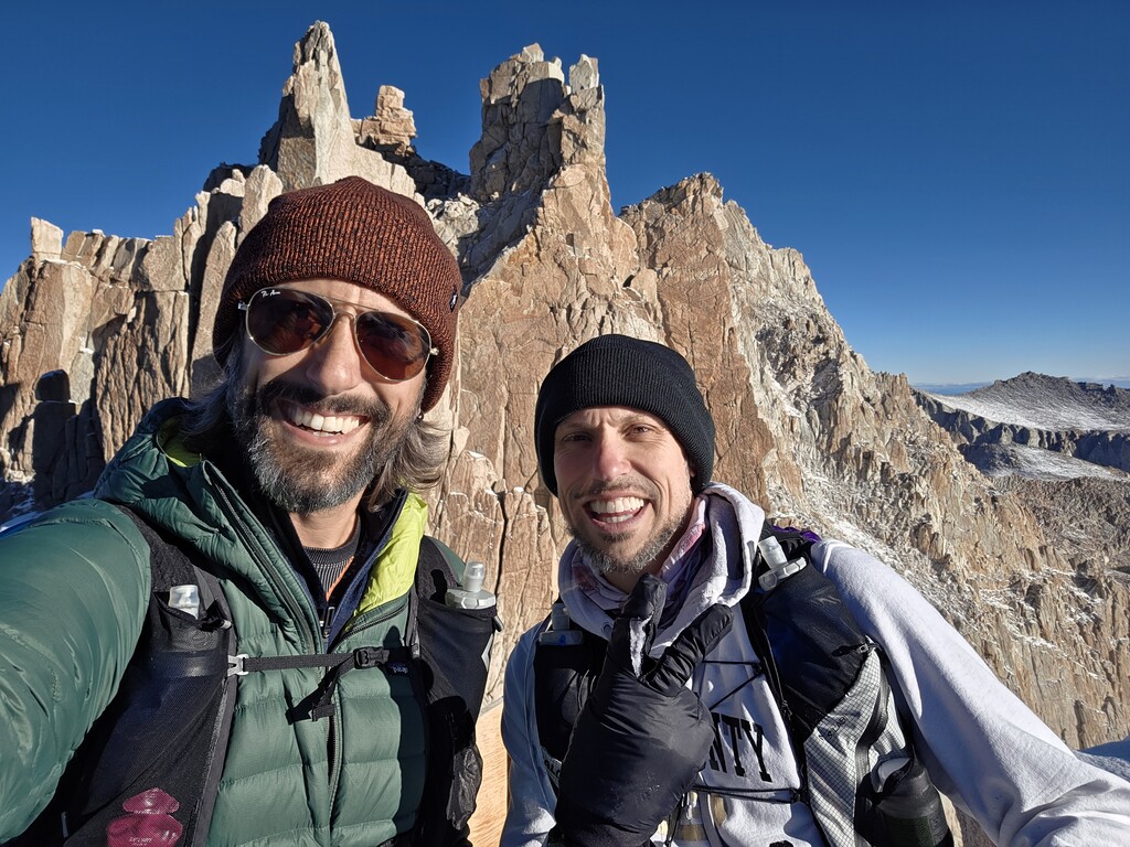
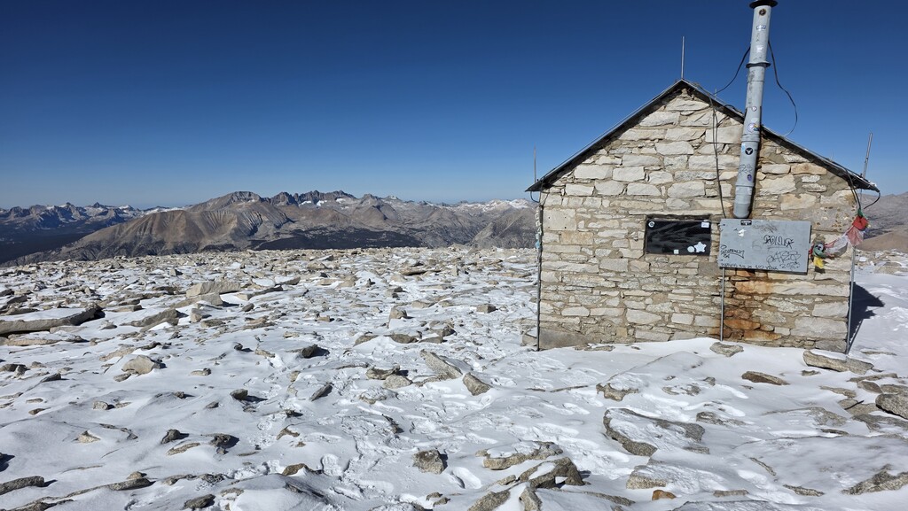
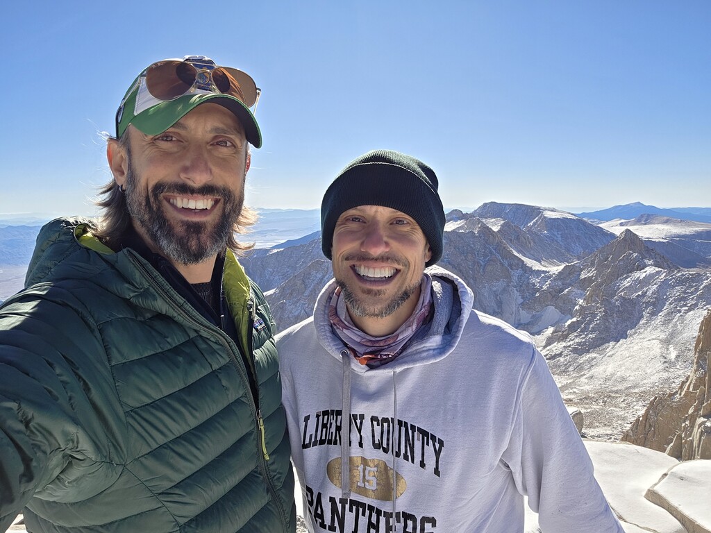
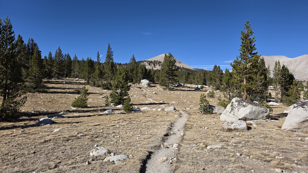
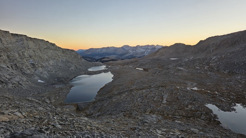
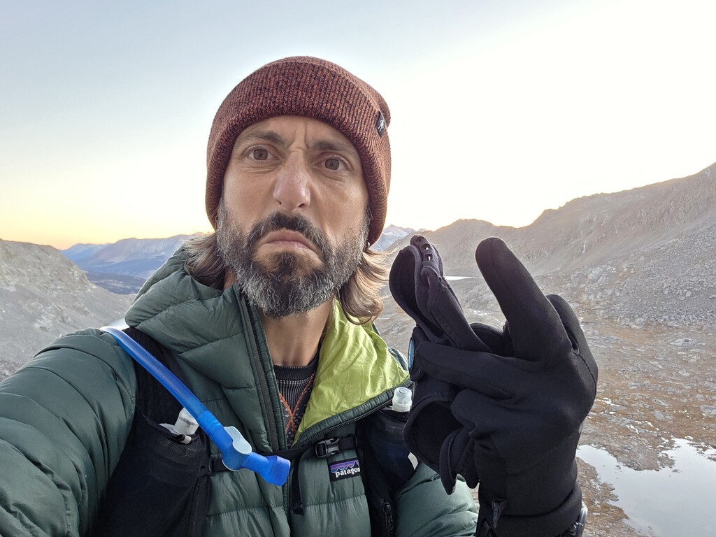
The climb up Whitney’s 99 switchbacks was steady but slow due to the snow. We submitted Whitney at 10 a.m., about two hours behind schedule, before beginning the long descent to the John Muir Trail. Mild altitude headaches set in on the way to Guitar Lake but eased with food, water, and losing elevation.
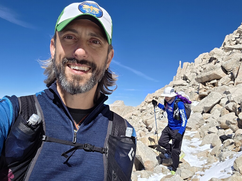
Progress improved across the middle stretch until the base of Forester, where the gradient steepened dramatically. The route was difficult to see prior to being on it. The switchbacks were invisible until you were on them. We reached the top of the pass around 7 p.m., just as the last daylight vanished.
The descent into Kings Canyon was rough: frozen scree, crusted snow, and fading headlamps. We stopped at a small stream to layer up, eat, and share the can of triple espresso that had survived 30 miles for this exact moment. Below treeline, we alternated jogging and hiking through the dark.
Night Descent
The forested section through Bubbs Creek Canyon brought warmer air and new company. Despite our loud conversations, we stumbled within a few yards of a mother bear and her cubs. Her claws scraped rock, eyes glowing from the brush. Options were limited: move or fight. We wisely chose the first.
By midnight, fatigue and sleep deprivation turned every rock into a possible landmark and our pace slowed. Two bridge crossings separated us from the finish — one appeared destroyed, prompting a brief moment of dread before the real bridge materialized downstream.
We reached Roads End at 4:07 a.m., 24 hours and 17 minutes after starting.
Gear and Logistics
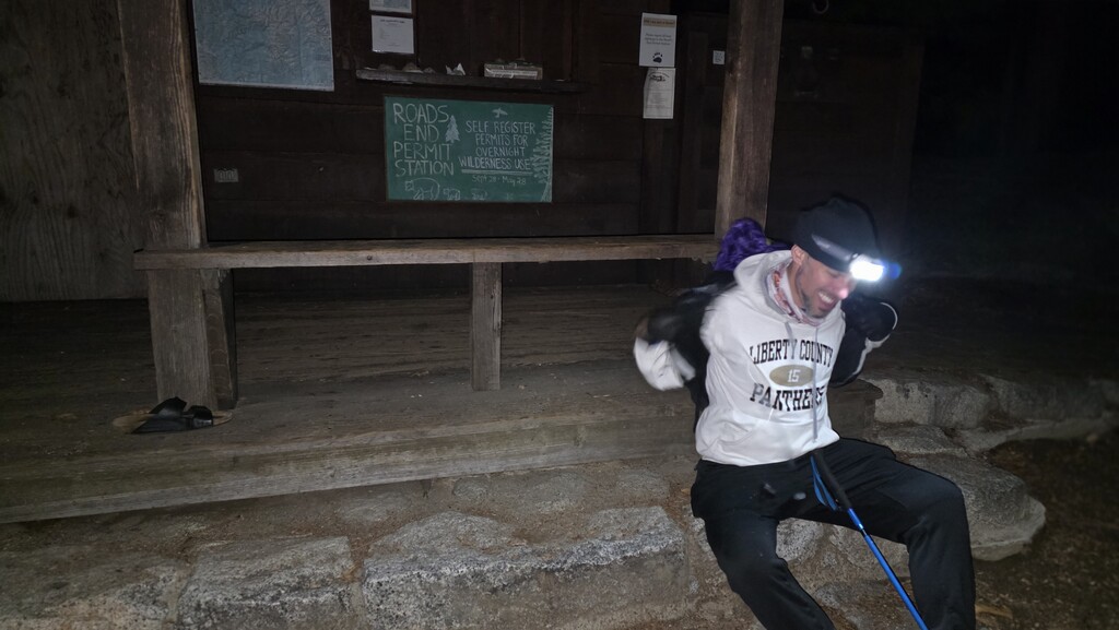
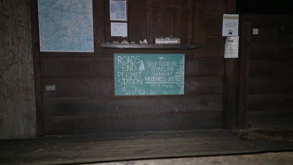
A 13-hour car shuttle each way framed the effort. With a government shutdown simplifying the permit process, we carried all essentials for a self-supported run: light packs, down and waterproof layers, extra batteries, and minimal food. We skipped traction gear, a choice we regretted about five miles in.
Challenges and Takeaways
-
Altitude: No acclimation meant predictable headaches and slowed pace above 12,000 ft.
-
Snow and Ice: Fresh snow made footing uncertain and progress slow.
-
Sleep Deprivation: After 20 hours, imagination becomes its own terrain hazard.
-
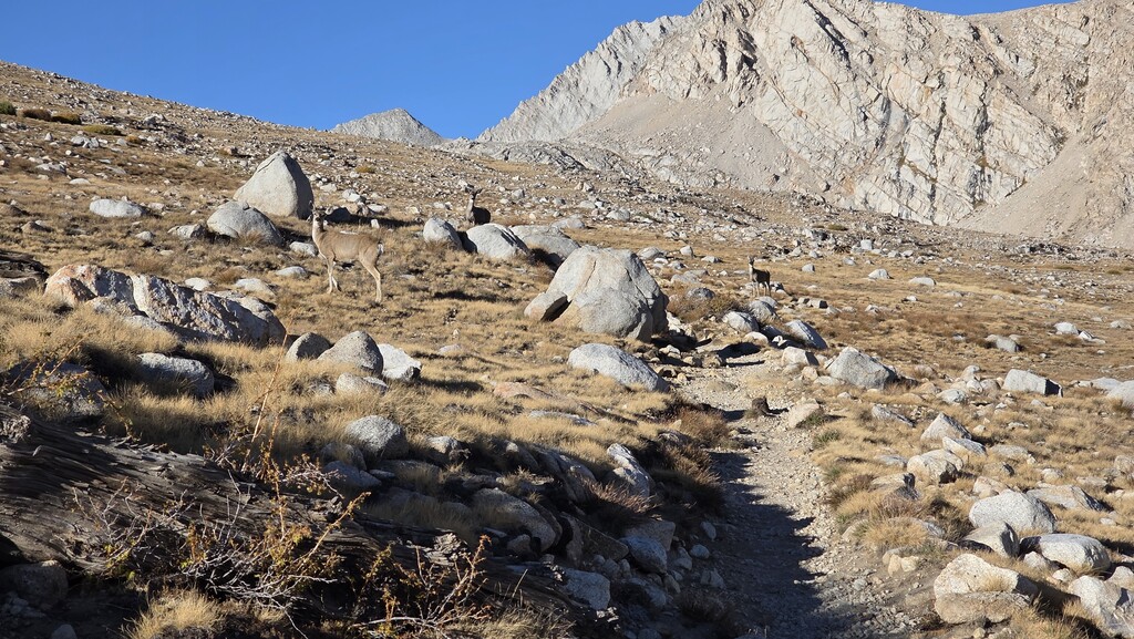
Wildlife: King’s Canyon could be named Bear City. Be prepared for encounters
Highlights
-
Sunrise igniting Whitney’s east face from Trail Camp.
-
The eerie stillness atop Forester Pass at dusk.
-
The triple espresso that resurrected morale.
-
The bear — unforgettable, mostly because we survived.
Stats
-
Start: 3:50 a.m., Whitney Portal
-
Whitney Summit: 10:00 a.m.
-
Forester Pass: 7:00 p.m.
-
Finish (Roads End): 4:07 a.m.
Elapsed Time: 24h17m -
Distance: ~55 miles
Reflection
Crossing the Sierra in a single push is humbling, beautiful, and hard in all the right ways. The combination of altitude, weather, and remoteness demands focus from the first step to the last.
When it was over, we’d covered 55 miles, climbed 11,000 feet, descended more than 15,000 feet, and seen both sides of the range under the same moon. The effort left us exhausted but grateful.
If you try this route, bring microspikes (depending on conditions), patience, and enough caffeine to argue with a bear.