Location
California,
US
Distance
55.55 mi
Vertical Gain
11,612 ft
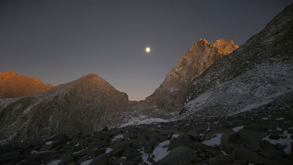
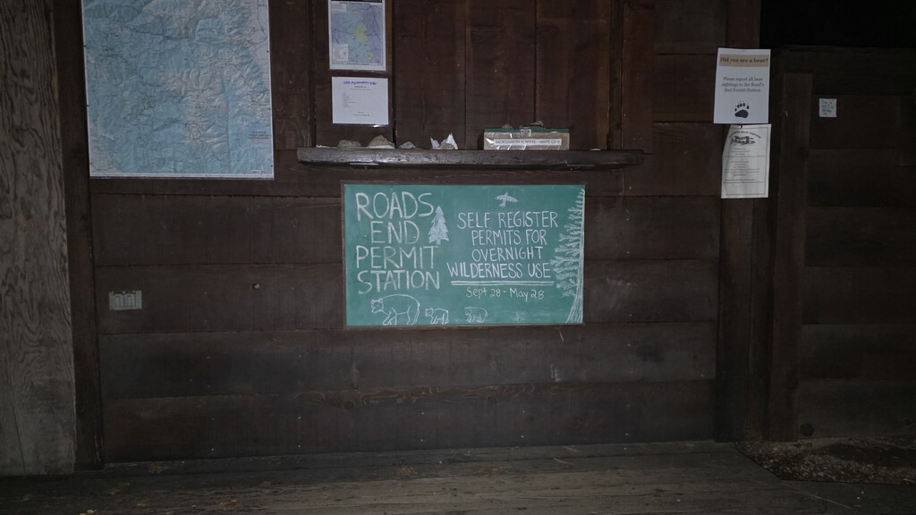
Description
GPS Track
20596405038_ACTIVITY.gpx12.9 MB
FKTs
Male
| Robert Santoro, Stephen Santoro | 1d 0h 16m 27s |
Images