Athletes
Route variation
Standard route
Multi-sport
No
Gender category
Female
Style
Unsupported
Start date
Finish date
Total time
11h
56m
32s
Verification
GPS track(s)
TrailRun20221013045801.fit1.32 MB
RobynFKT.gpx12.48 KB
Report
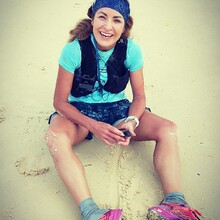
see insta #missrobynr for images/videos
- UNSUPPORTED: I decided to run unsupported and carried all my nutrition, gear, tailwind sticks and filtered water. There were no persons who ran with me at anytime, and no-one supported me with any nutrition, hydration, or medical assistance en-route from start to finish
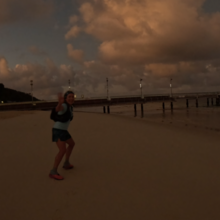
- START/FINISH: chose Tangalooma Resort Jetty - as the fixed start finish line
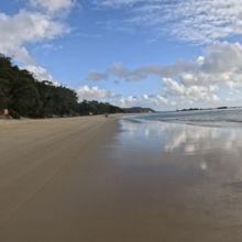
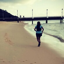
- ROUTE DIRECTION: anticlockwise (south on western side first then from southern tip go north up eastern beach, across top and then home stretch south on western bayside beach
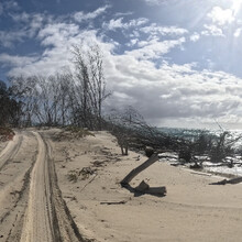
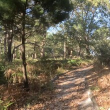
- NOTES: As per route notes, the south western mangroves prevent waters-edge running - followed the 'acceptable route' notes and was forced onto the soft sand 4WD track for that section into Kooringal Township. Passed Gutter Bar and then back onto beach at base of Mirapol Lagoon
- NOTES: Toilet Stop at bush camp toilet at Kooringal
- NOTES: Water Stop, turned off main Eastern Beach at Blue Lagoon to access bore water
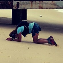
- NOTES: Gastro Vomiting stop of movement between Bulwer Beach and Cowan Cowan on the Eastern Beach while cooled body down
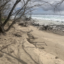
- NOTES: As a sand island, the beaches are always reshaping and moving, due to seasons and tides. In addition, the route distance will be impacted by which water stop is selected by the athlete, as some bores on the Eastern Beach are much further in off the main beach than others - impacting total distance covered. Further route total distance will be impacted on where a runner chooses to run on the beach and the tides (ie low tide provides much more beach further out from the mainland, high tide pushes runner right in close to the land and removes the width of the island and minimizes the available beach).

