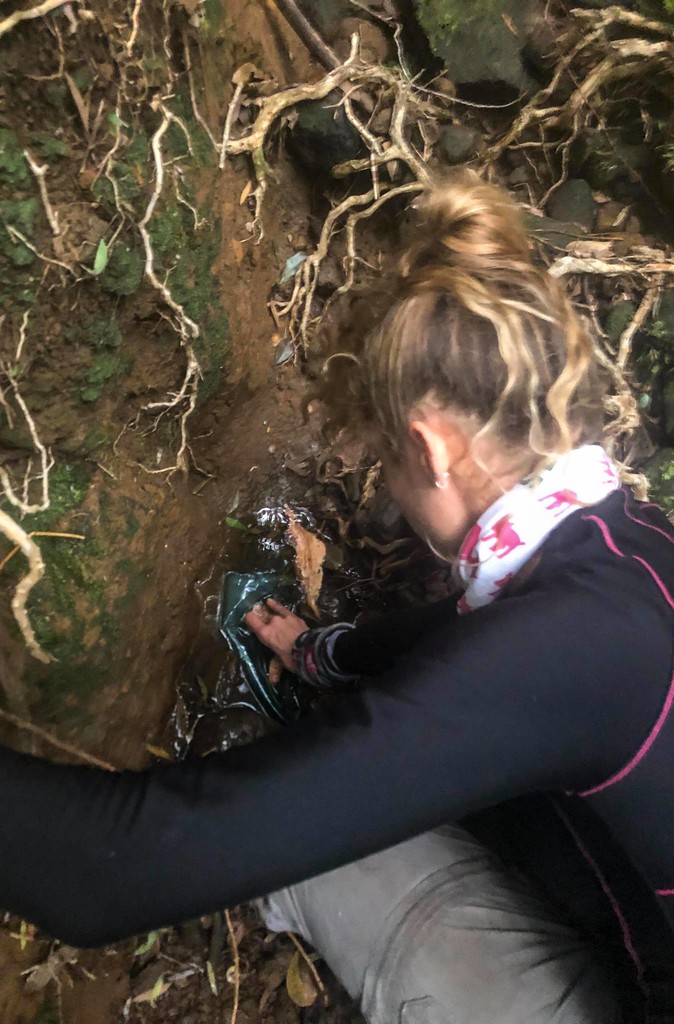
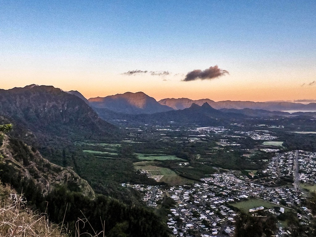
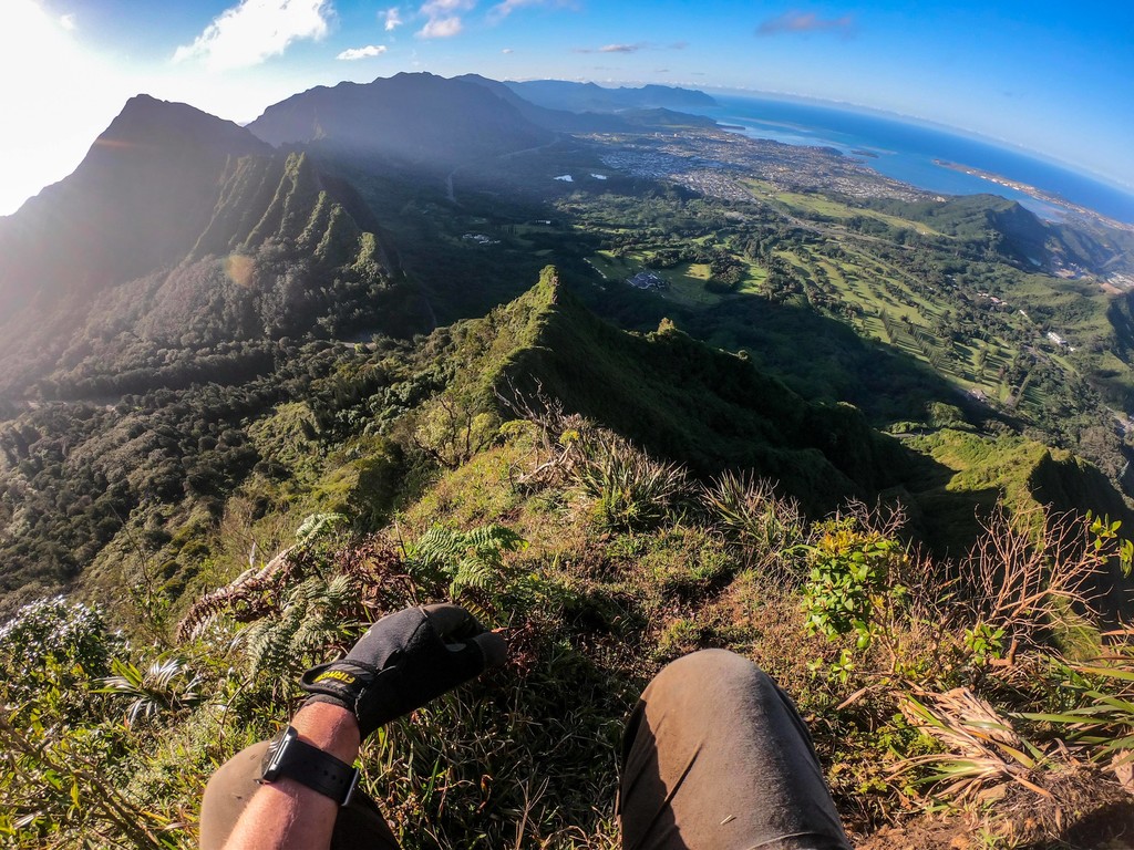
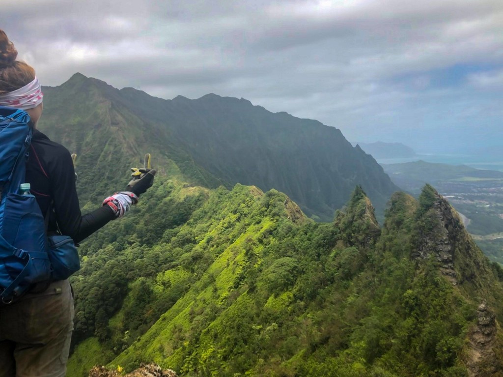
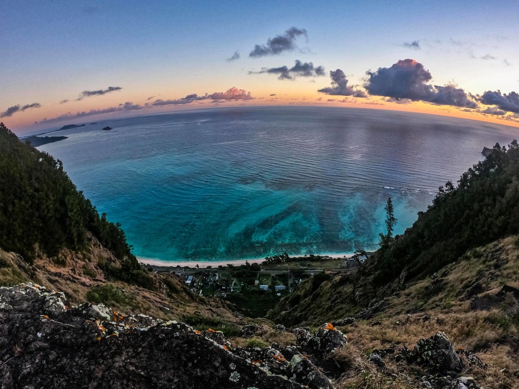
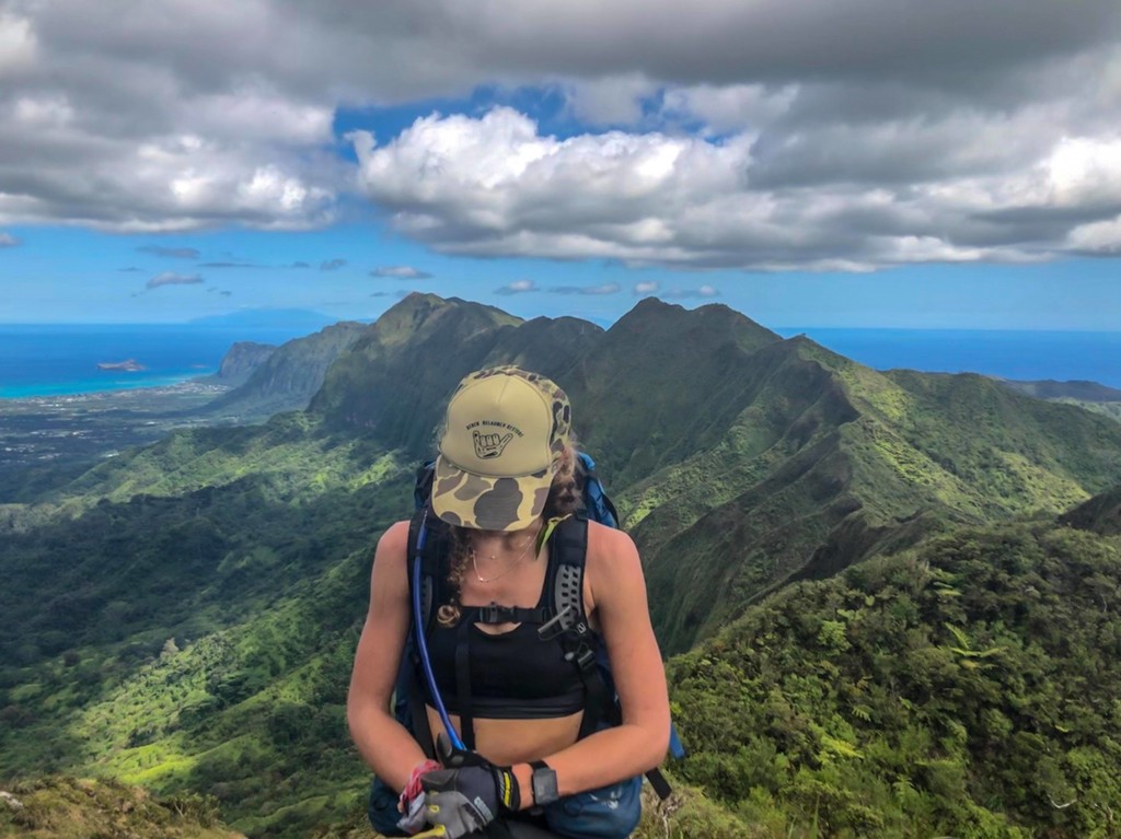
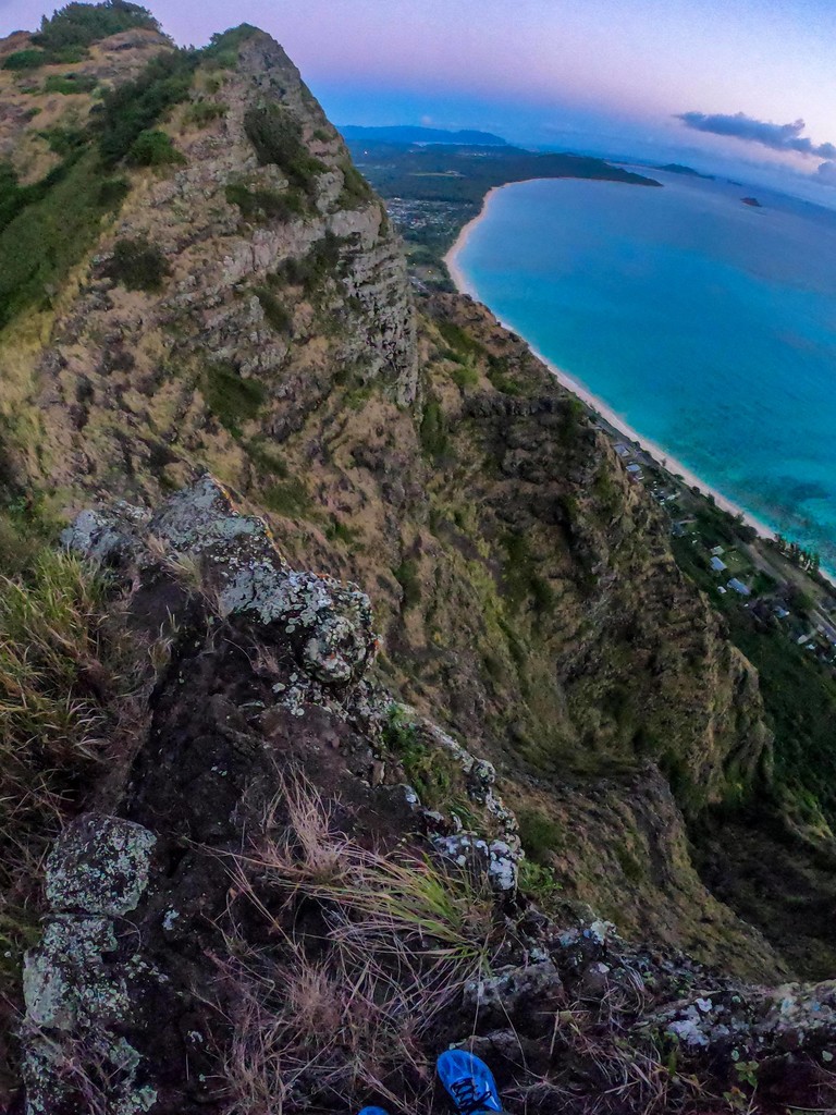
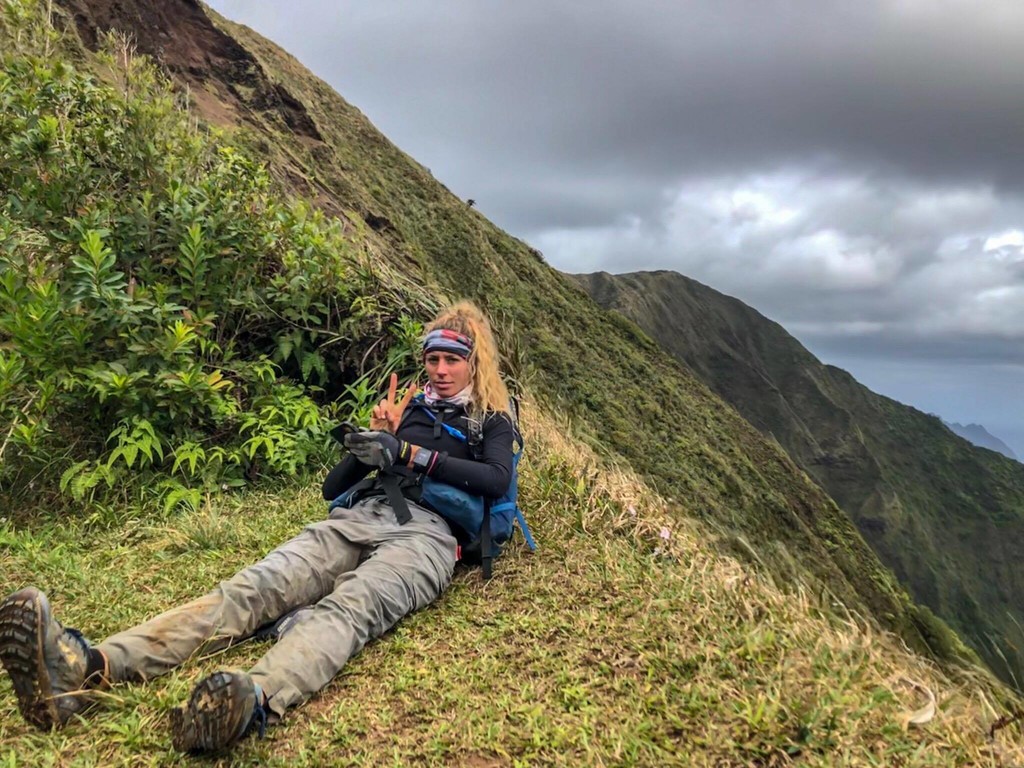
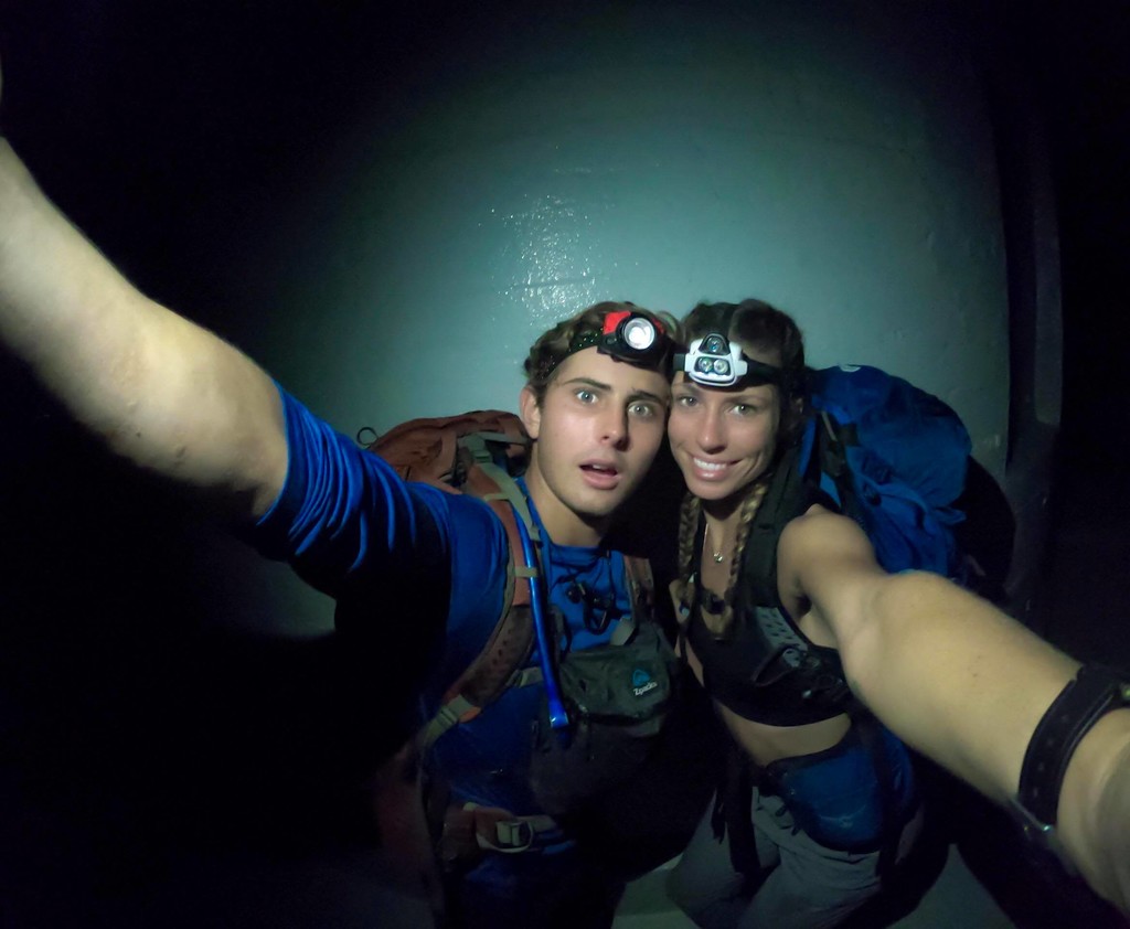
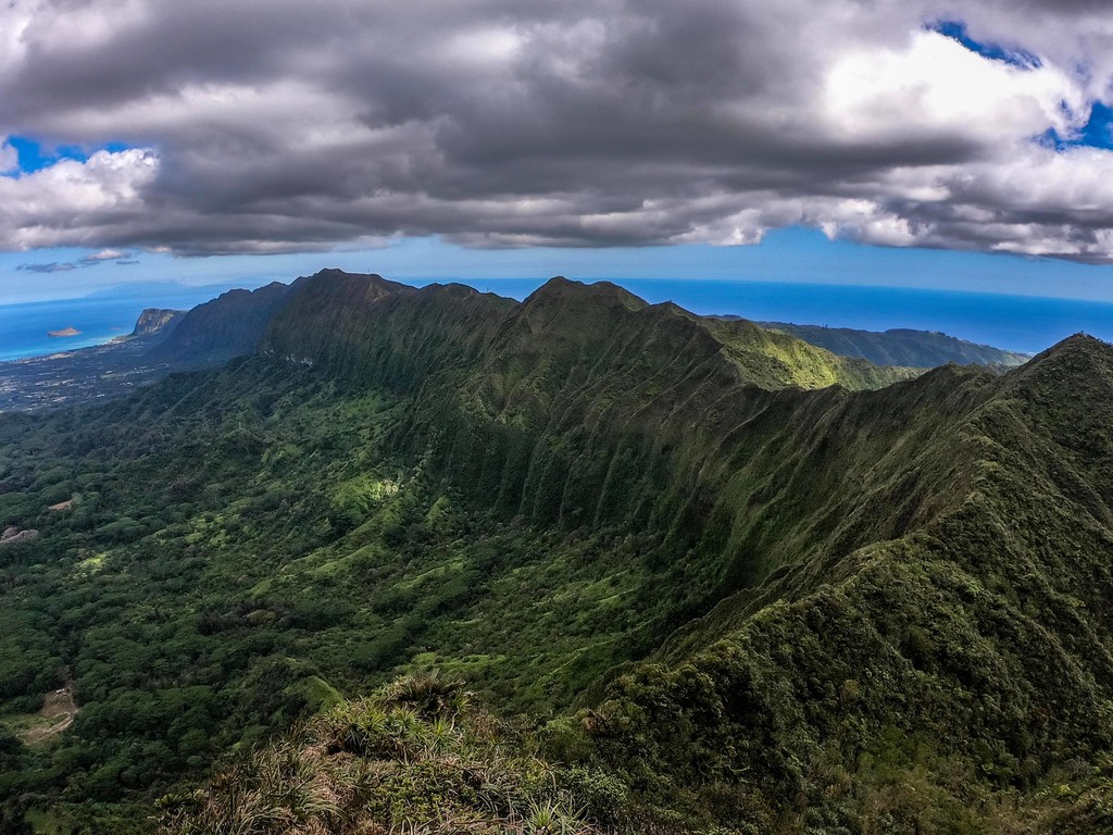
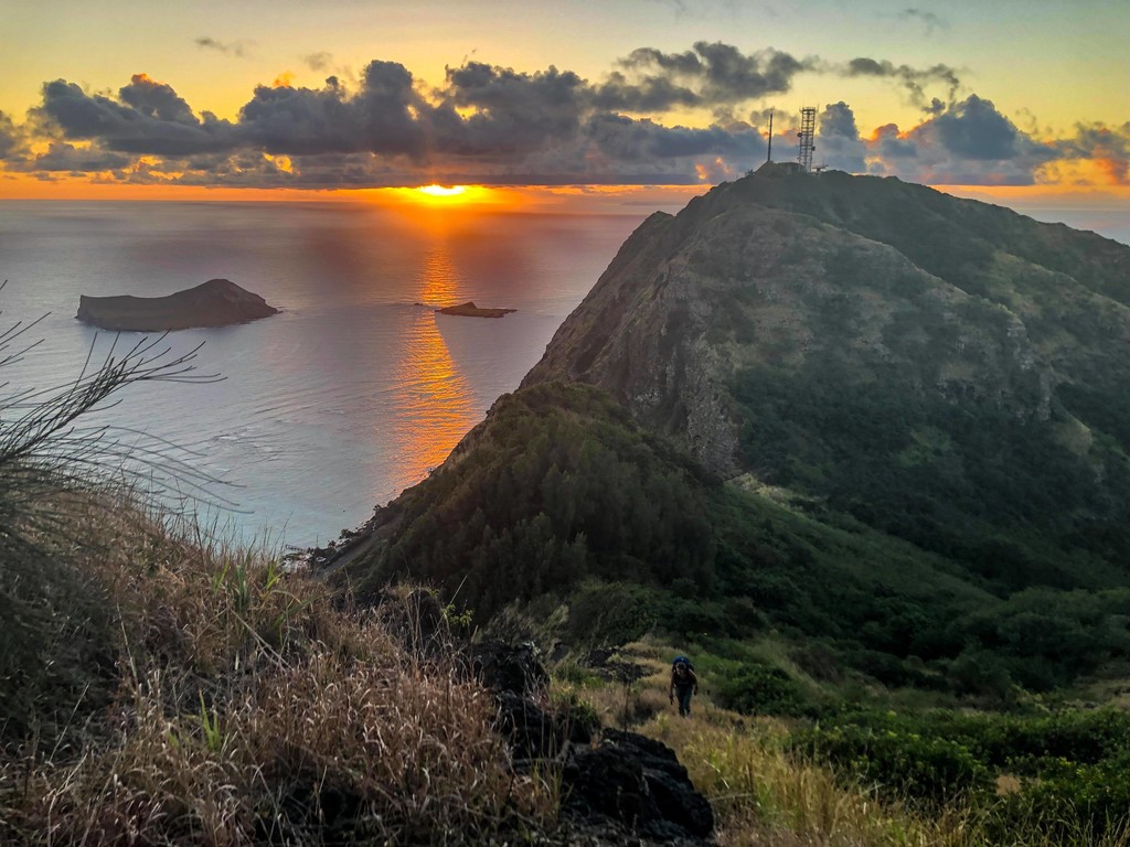
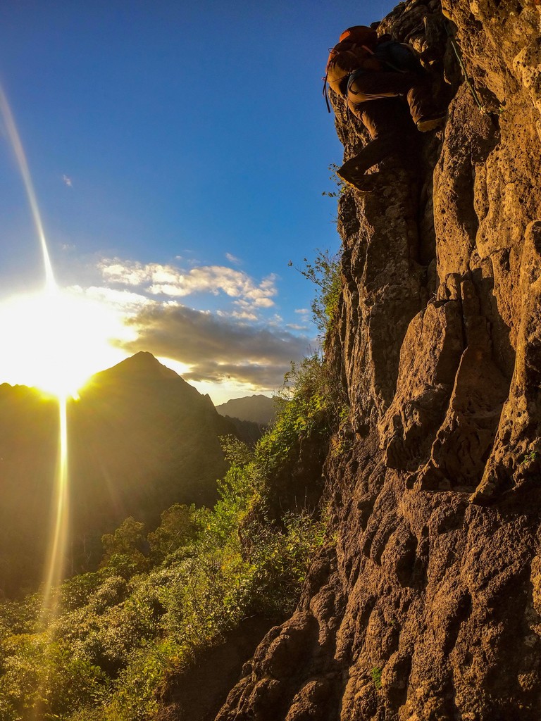
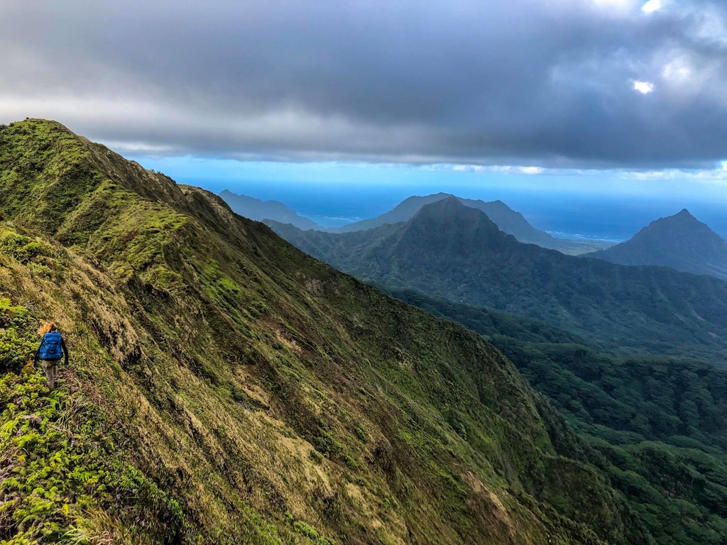
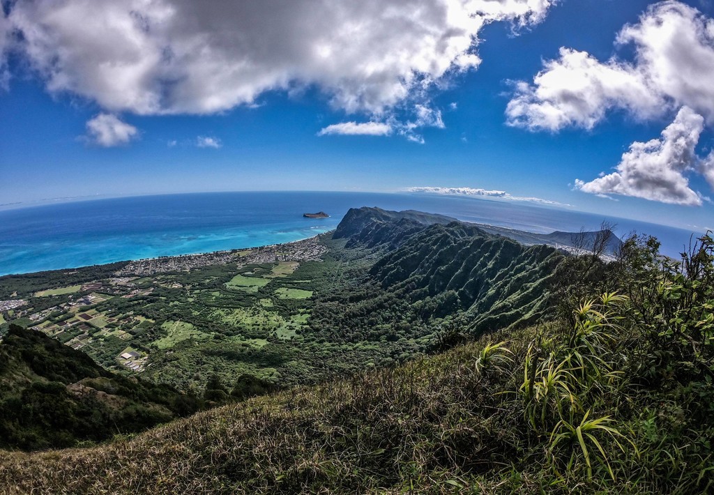
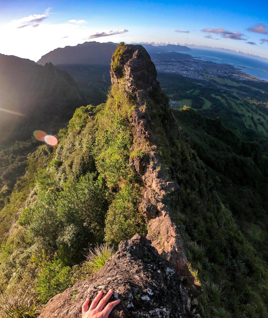
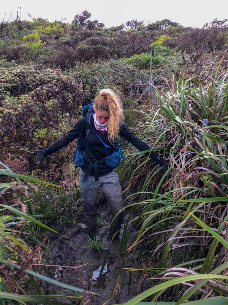
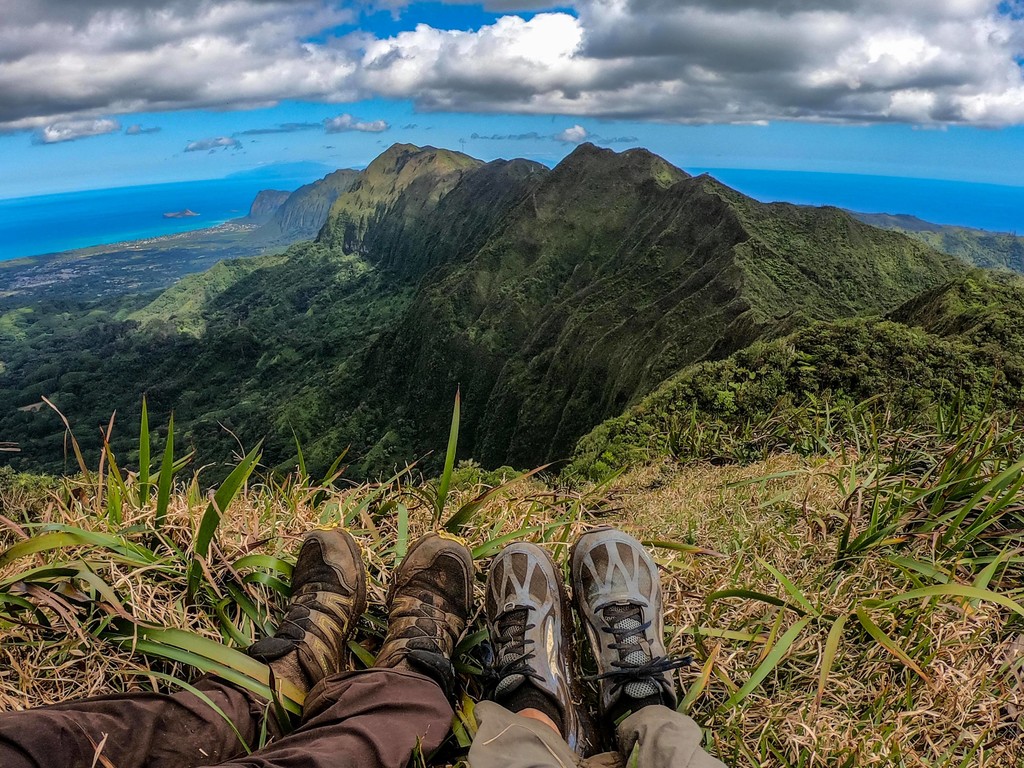
This route traverses the Ko'olau Mountain Range along the summit from the Southern to Northern end. It starts at the Makapu'u Lighthouse and crosses over a wide variety of terrain, including but not limited to dry crumble rock, razor thin ridges, sudden cliff drop offs, some climbing, extreme overgrowth, ankle to knee deep mud, extreme sun exposure, high winds, and beautiful views of the mountains and ocean. The trail connects all of the finger ridge hikes along the Ko'olau mountains, and an be very unpredictable ranging from extreme heat to high gale force winds. Because this mountain was formed over a million years ago from a volcanic eruption, the landscape can change due to landslides and rockslides without warning.
This was south to north.
Comments
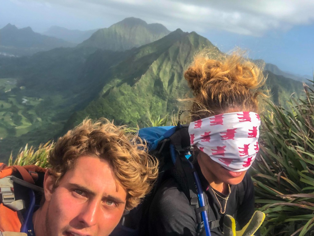
Amazing work guys! This is definitely not a walk in the park!