This report is pretty much what's on my strava: Super fun! Was aiming to improve on Ashly Winchester's time from when she did the whole thing; had a loose goal of 5 hours but rolled my ankle a couple weeks before so figured I'd be happy just to get out there and see what the day felt like. Also did this the weekend of the Garmin outage so figured anything I did might not count for an official FKT, but thought sharing the write up might be useful for others. My first foray into a longer/adventure trail effort, and would highly recommend as a great way to ease into it for people more familiar with road running or their local trails (and definitely other women should do this route and do it faster!) Backpacked it very leisurely with some friends a couple of years ago, so I had some idea of what I was getting in to.
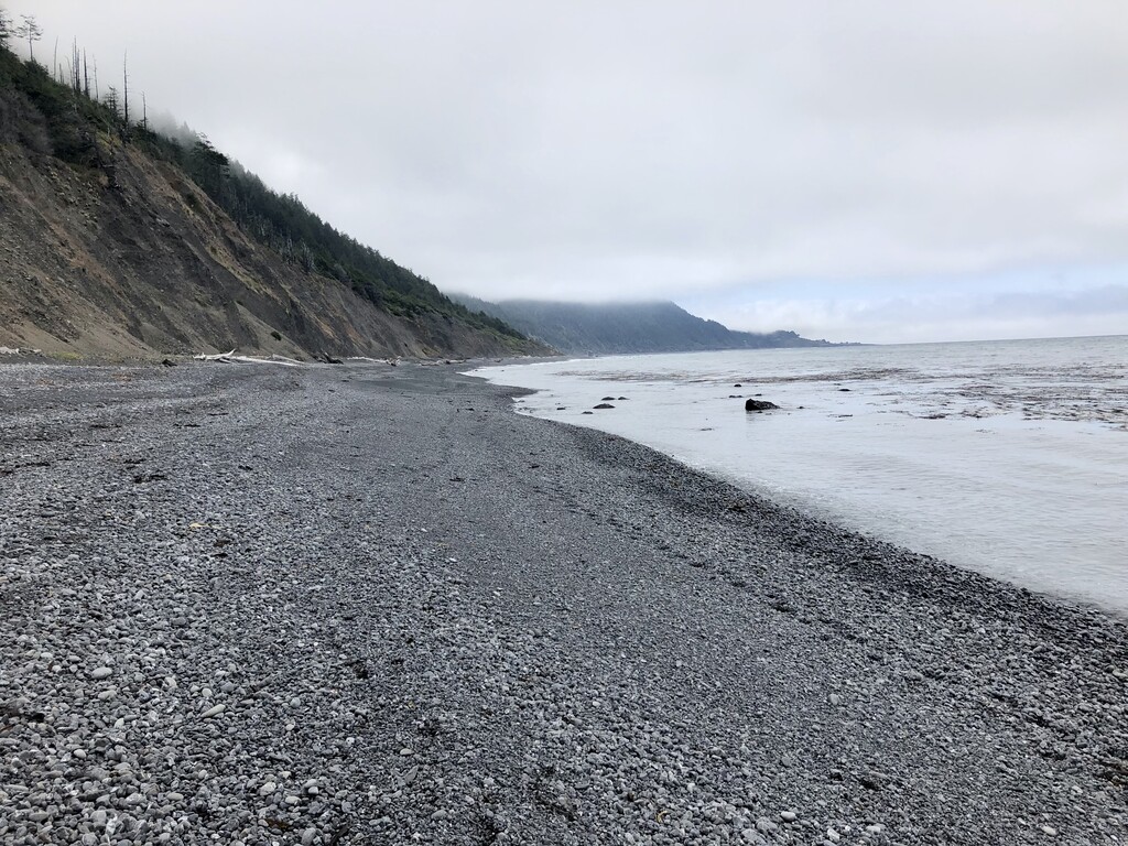
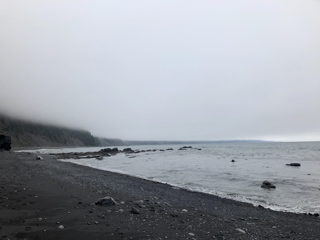
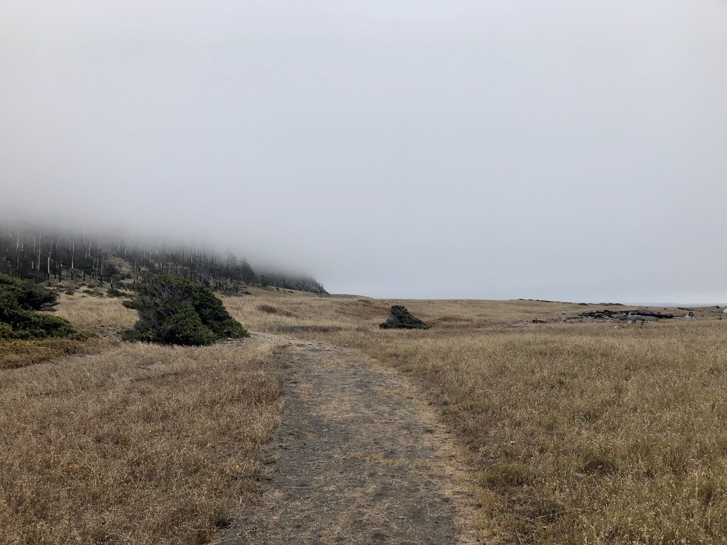
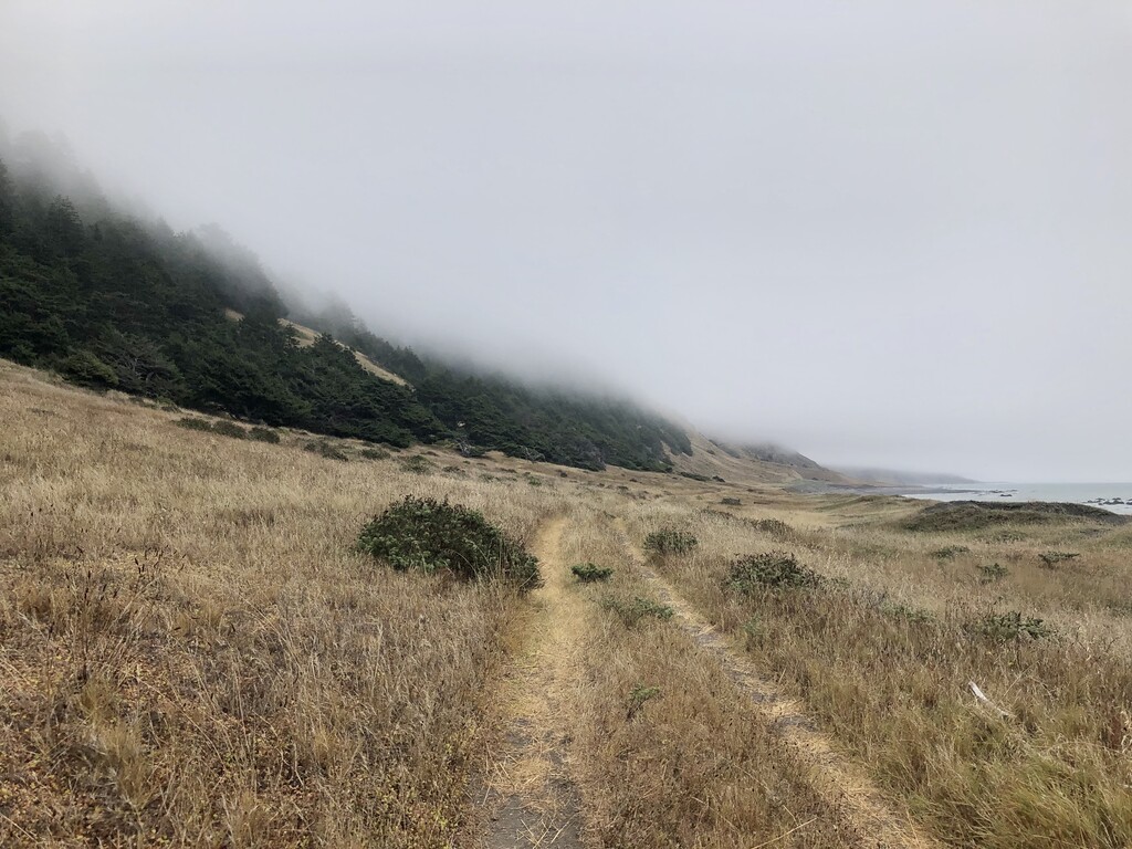
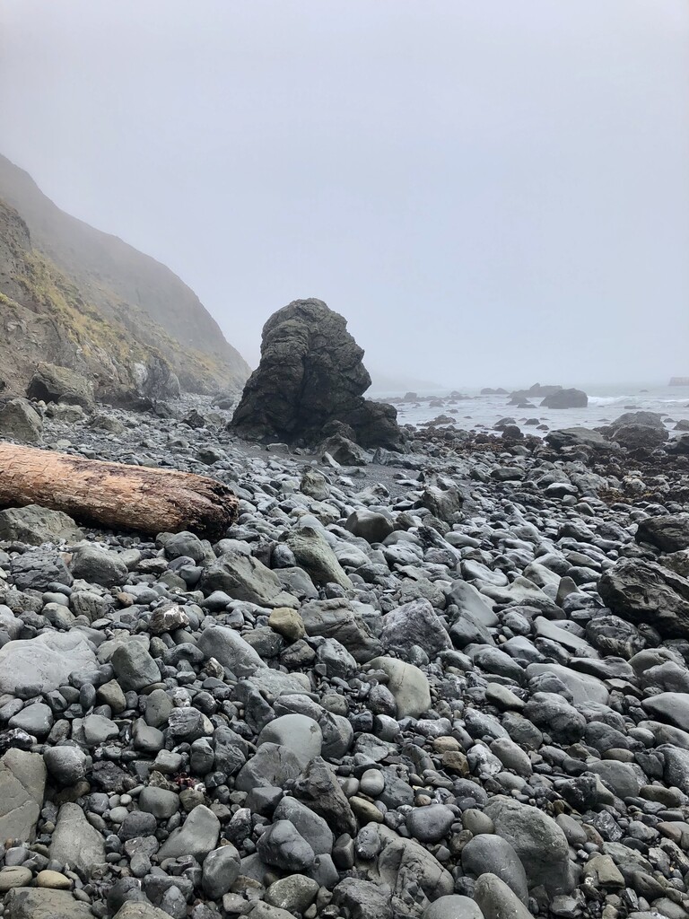
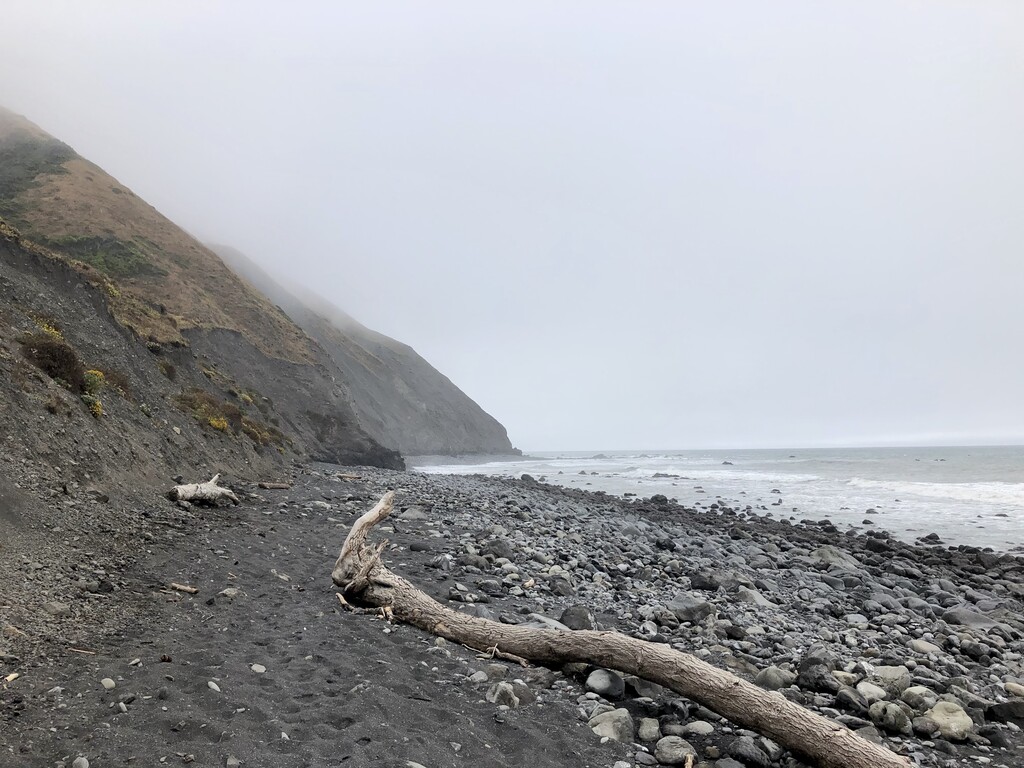
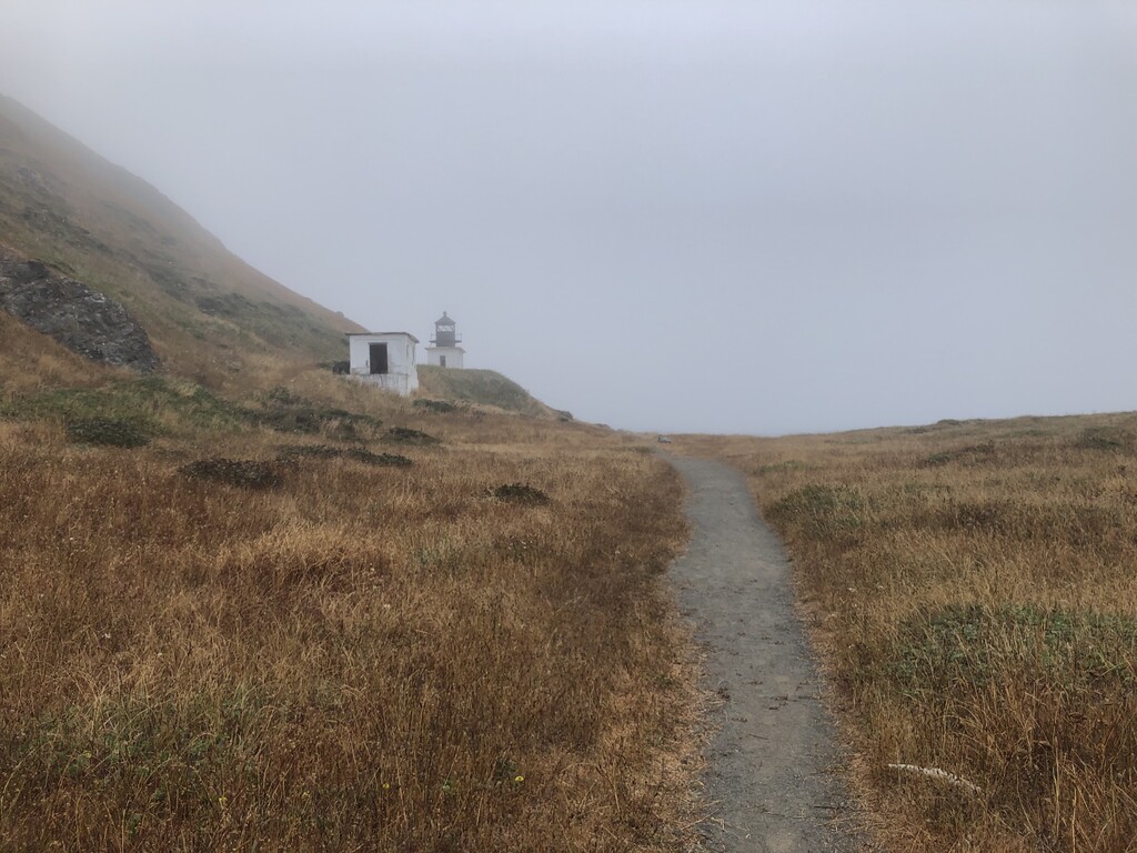
Started at Mattole around 7:45am to hit all the tide windows. Got a little lost up on the bluff a little over a mile in (was trying to make sure I avoided the elephant seals… but should have just stuck to the beach until the lighthouse!). Also got a little confused about whether to scramble over the wet rocks or try to find the path on the bluff before the switchback at Cooskie — would recommend just going for the bluff path straight away. After that pretty smooth sailing, especially after I emptied out the rocks from my shoes around mile 9 :) Having a slightly bum ankle definitely slowed me down on the really rocky/bouldery parts (notice I took lots of photos then...), but maybe that was good to be more cautious than usual. Loved cruising through Spanish and Big Flat. Definitely some of the single track is more overgrown than I remember, but didn't have too much of a problem avoiding the poison oak. Starting at mile 19 or so you can see Shelter Cove in the distance, and then there's this big rock that marks about 1 mile left (remembered this from my previous backpacking trip, so used it as a mental landmark). Slight headwind from mile 2 -19, and then it picked up again for the last two miles, which felt brutal. Overpacked on water since it was pretty misty and cool until about the last mile (did 2.5L, would have been fine with about 1.75). Brought 7 gels (spring energy: 3 coffee, 2 peanut butter, 1 strawberry, 1 plum) and ate all of them, probably could have brought another b/c was a bit hungry at the end. Shout out to my parents for shuttling my car from Mattole to Black Sands!