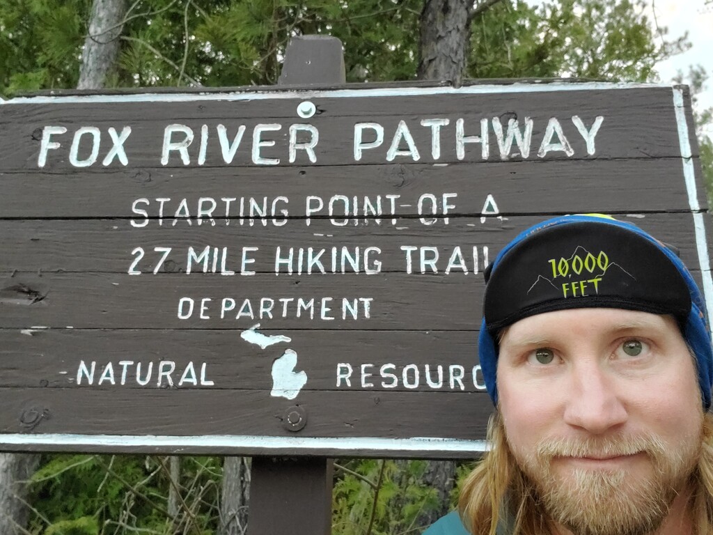
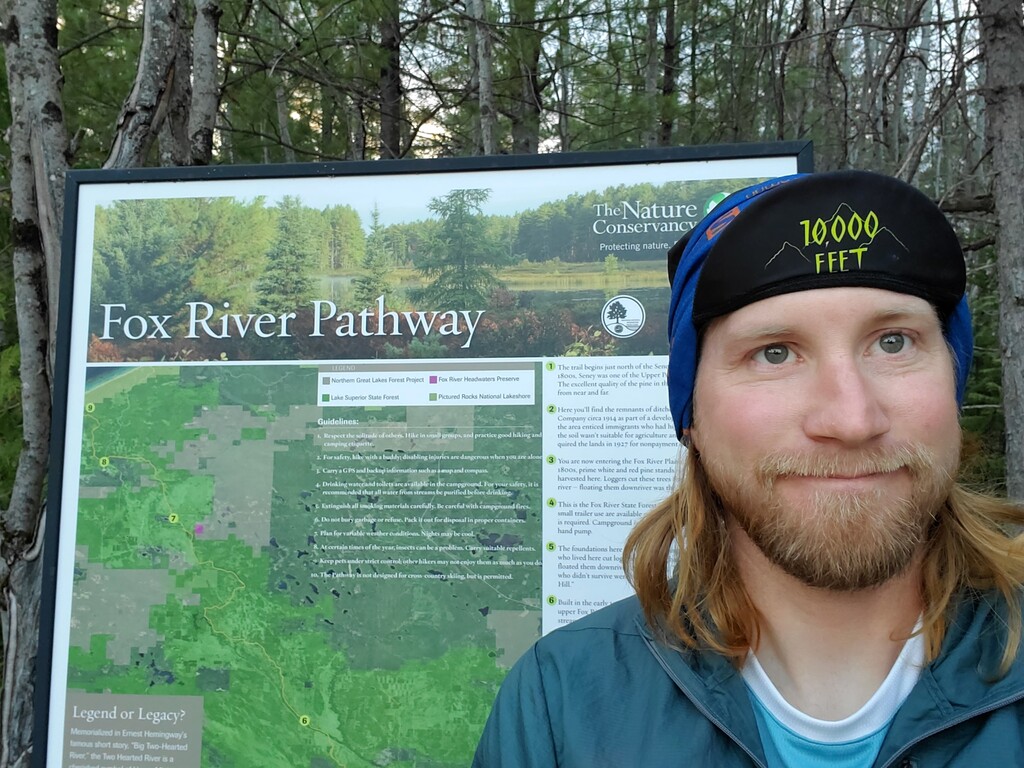

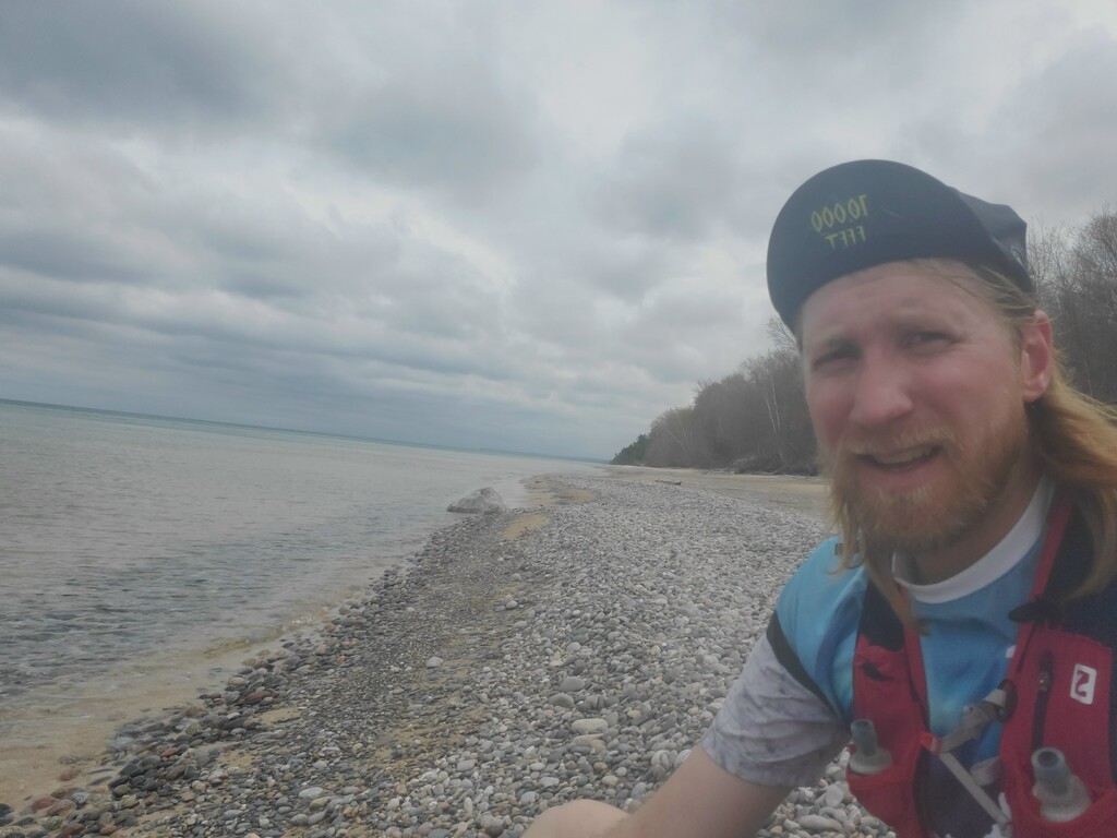
On May 16, 2021 at 6:35am, I started at the southern trailhead of the Fox River Pathway, which is just about a mile north of Seney Mi. I ran north-bound towards Lake Superior. The first few miles run along the river and the trail is well established, but there were several large trees down on the trail. Then the trail crosses the Fox River Road and follows a snowmobile trail on the edge of a large wetland. The trail was completely flooded in spots and I had to hug the edge or run through the woods, around puddles, to keep my feet dry, in one area I had no choice but to walk through ankle deep water. The trail crosses the Fox River Road again back to higher ground. The majority of the trail was well marked and easy to follow (I did have a GPS to reference if needed), but the trail tread was pretty much non-existent. It was like running through the woods connecting blue marks on the trees. The trail is not maintained routinely and had down trees scattered the whole way. About a mile south of Kingston Lake the blue blazes on the trees disappeared and someone had marked the trail with blue flagging. Just north of Kingston Lake, the Lake level is very high and the trail is actually in the lake, instead of wading through or swimming across the 50 yards of lake to reach the other side I ran around the perimeter of the lake and picked it up on the other side (added a few hundred yards). I carried all my own water and never needed to fill up, I did bring a water filter just case but never used it. There are water pumps available at the campgrounds along the way (Fox river Campground, Kingston lake campground). Overall it was an enjoyable run and fun to see the Big lake at the end. (I did have to hike 3 miles back to Kingston Lake Campground for my ride to pick me up)