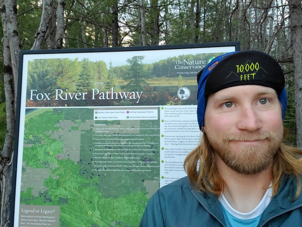
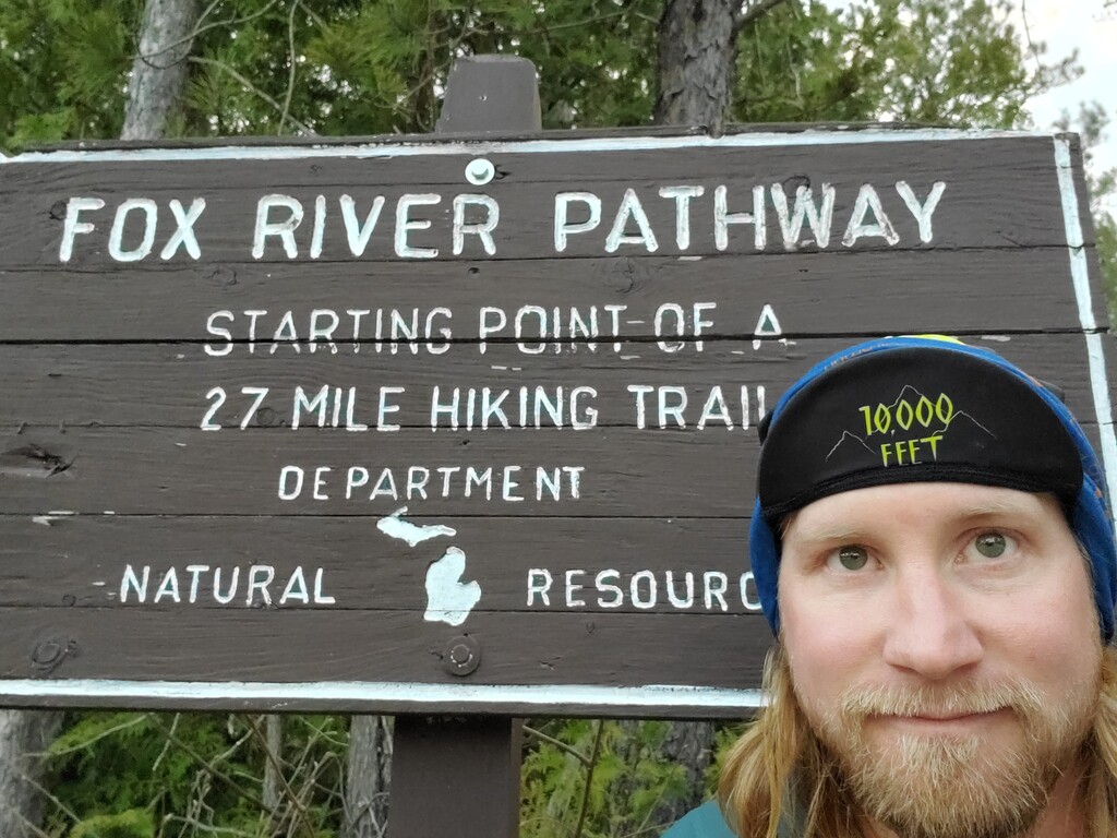
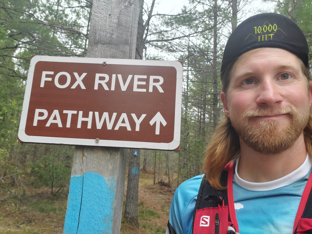
Fox River Pathway is a Michigan Dept. of Natural Resources managed non-motorized trail that starts in Seney, Mi and ends on the shore of Lake Superior along the Pictured Rocks National Lakeshore. The southern trailhead can be found off the north side of the Fox River Rd. (County Rd 450) about 1 mile north of the town of Seney, Mi. The trail, in general, follows the Fox River in a northwest direction to its headwaters, then continues northwest through the Kingston Plains until it reaches the Pictured Rocks National Lakeshore, where the trail ends on shore of Lake Superior. The trail is marked with Blue Blazes, and Blue MiDNR Non-Motorized placards. The trail is not heavily used, so there is not much of a trail tread, but can be followed by the blazes. Some of the trail utilizes forest roads and UTV/ORV trails. The trail passes through two campgrounds, both of which have drinking water available via pump wells; the first (Fox River Campground) is about 5.4 miles from the southern trailhead, and the second (Kingston Lake Campground) is 28.3 miles from the southern trailhead. The ground varies from sandy dry, to bog/marshy areas, to northern hardwoods. The total trail length via GPS 32.06 miles, the MiDNR Map shows 30.8 miles, but some trail reroutes have taken place on the ground that have not yet been updated on the map posted on the their website. https://www2.dnr.state.mi.us/Publications/PDFS/RecreationCamping/Fox_River_Pathway_map.pdf