


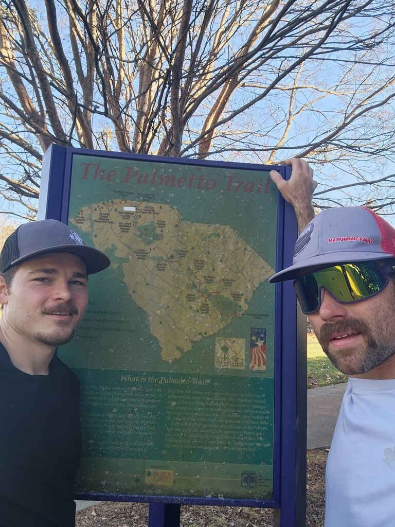


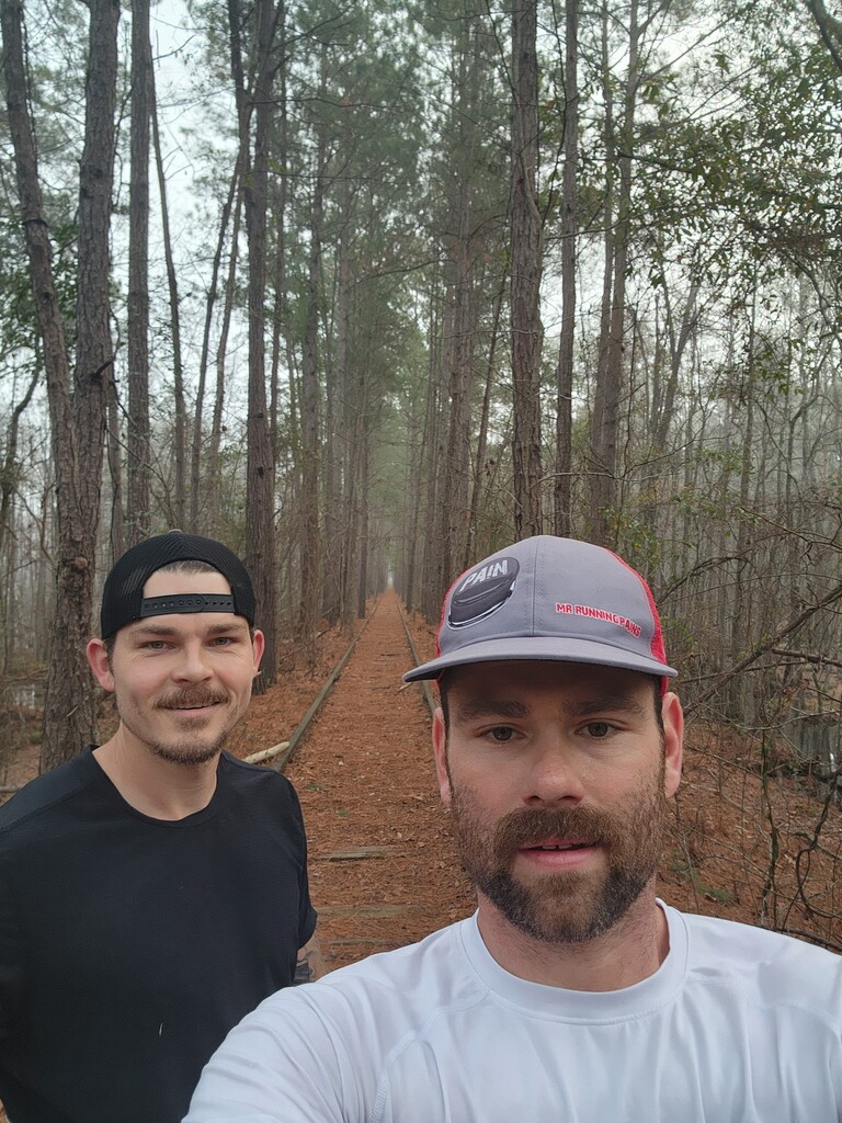


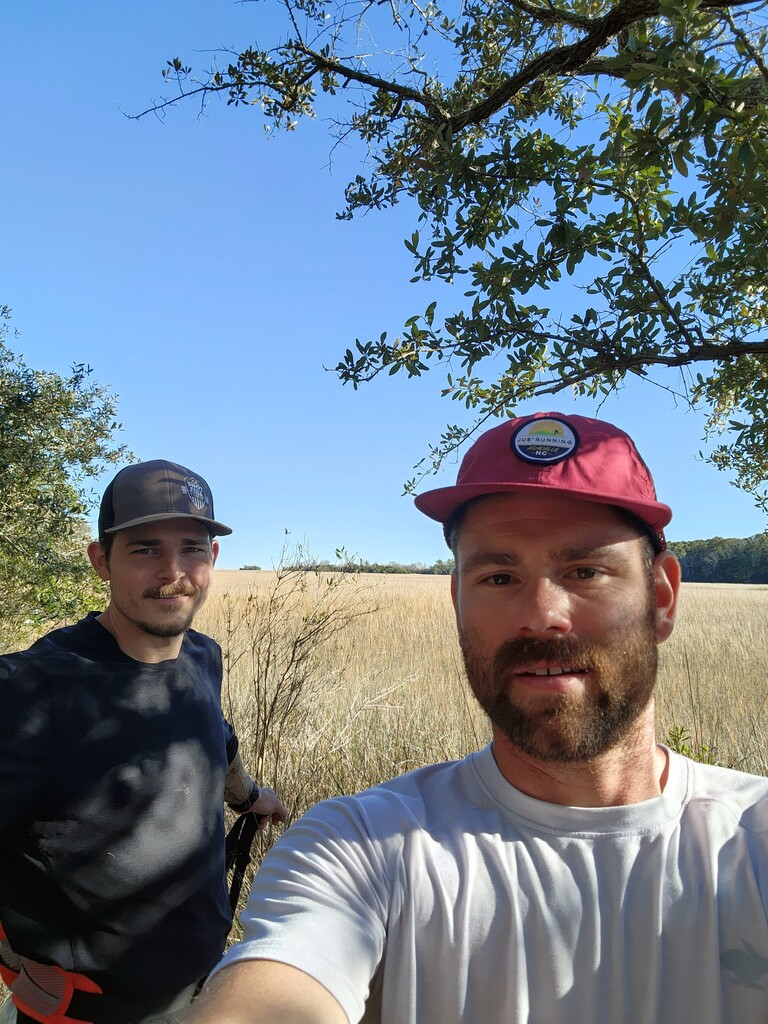

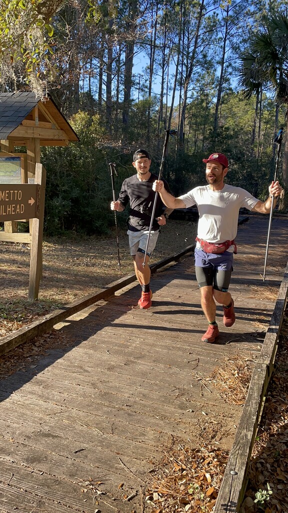


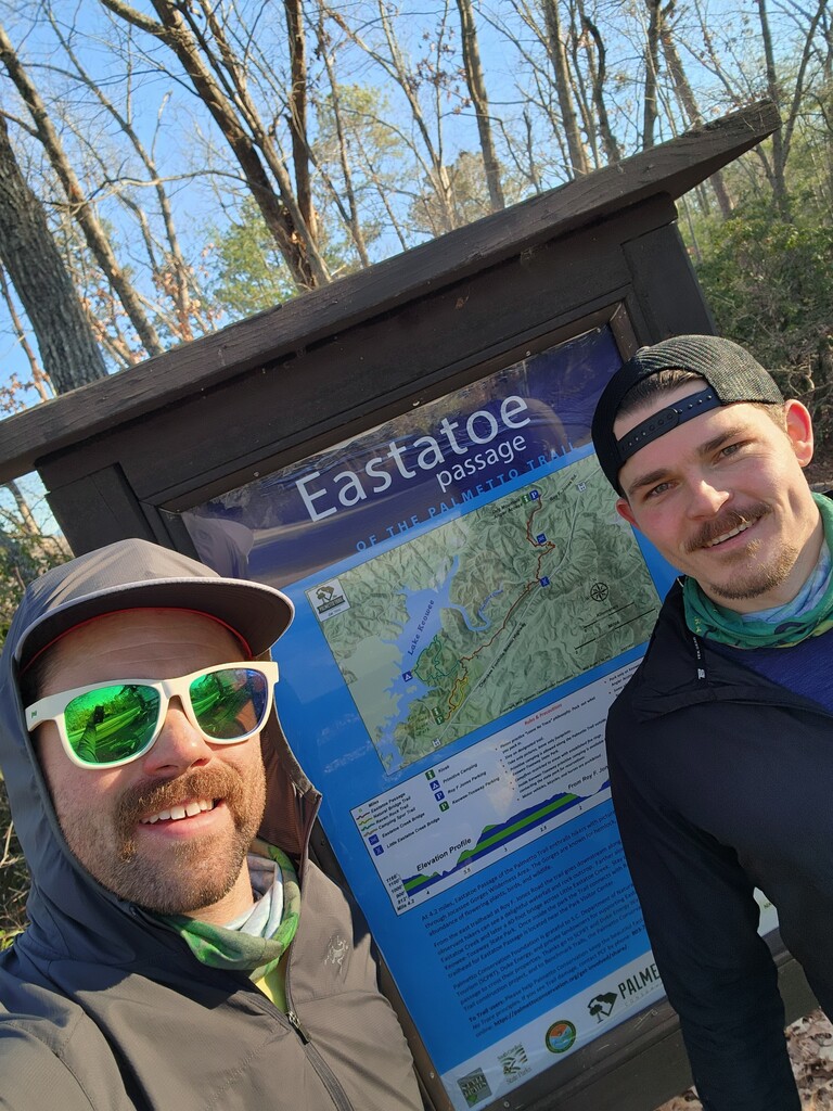


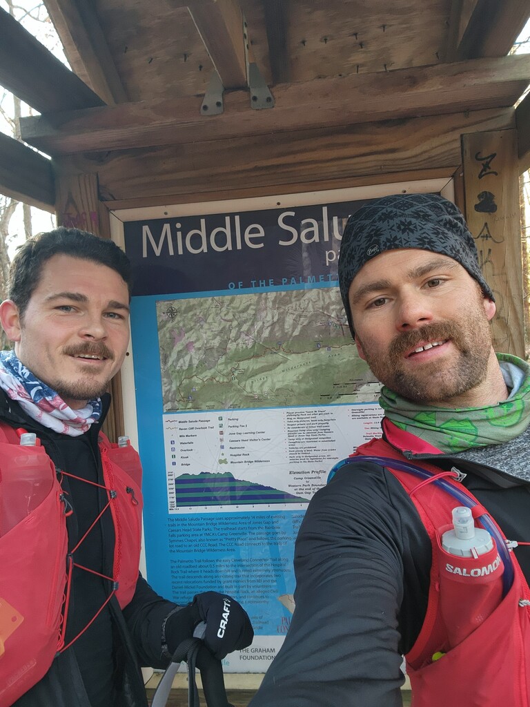


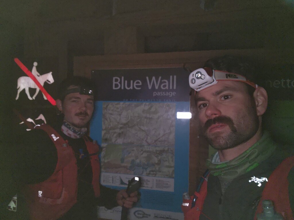


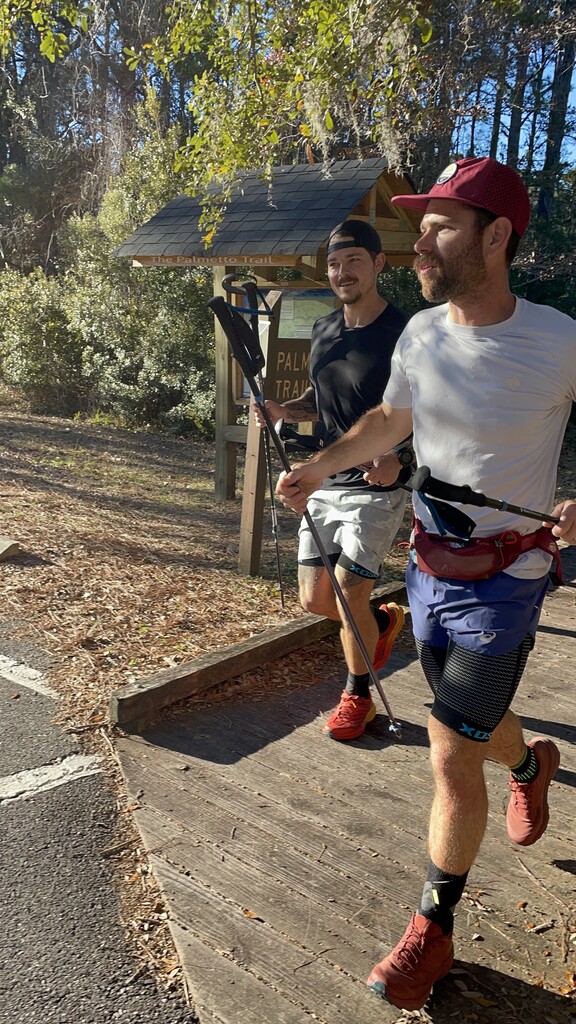

The goal was to follow the previous FKT set by Sean Marden and make a continuous route that connected all sections of the palmetto trail as much as possible without having to double back on itself (The same way the first FKT was set). There were slight changes due to new sections of trail being added. We were often in contact with the Palmetto Conservation Foundation in the planning stage as well as during the FKT attempt. The Avenza App has the most updated maps for the palmetto trail and is what we used for the bulk of the FKT. For the unofficial connections we followed the previous FKT map with some slight changes to access more of the official palmetto trail. Nathan Frantz and I ran this together understanding that upon finishing we would be tied for the FKT. We started our watches at the same time on day 1 and stopped our watches at the same time (within a few milliseconds) on the final day. We ran every mile together, there were times where he was ahead a little or I was ahead a little, but we started and finished at the same spot each day. His watch is newer than mine and probably more accurate so he showed more mileage than mine did, but every mile was the same for us.
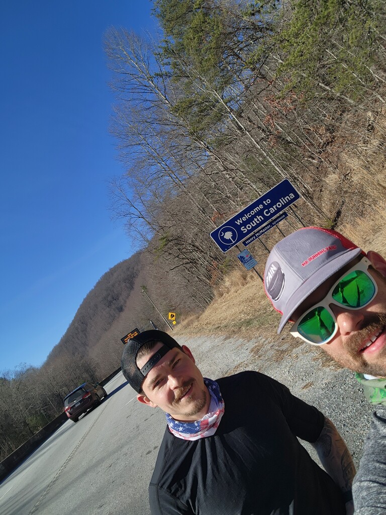
Day 1
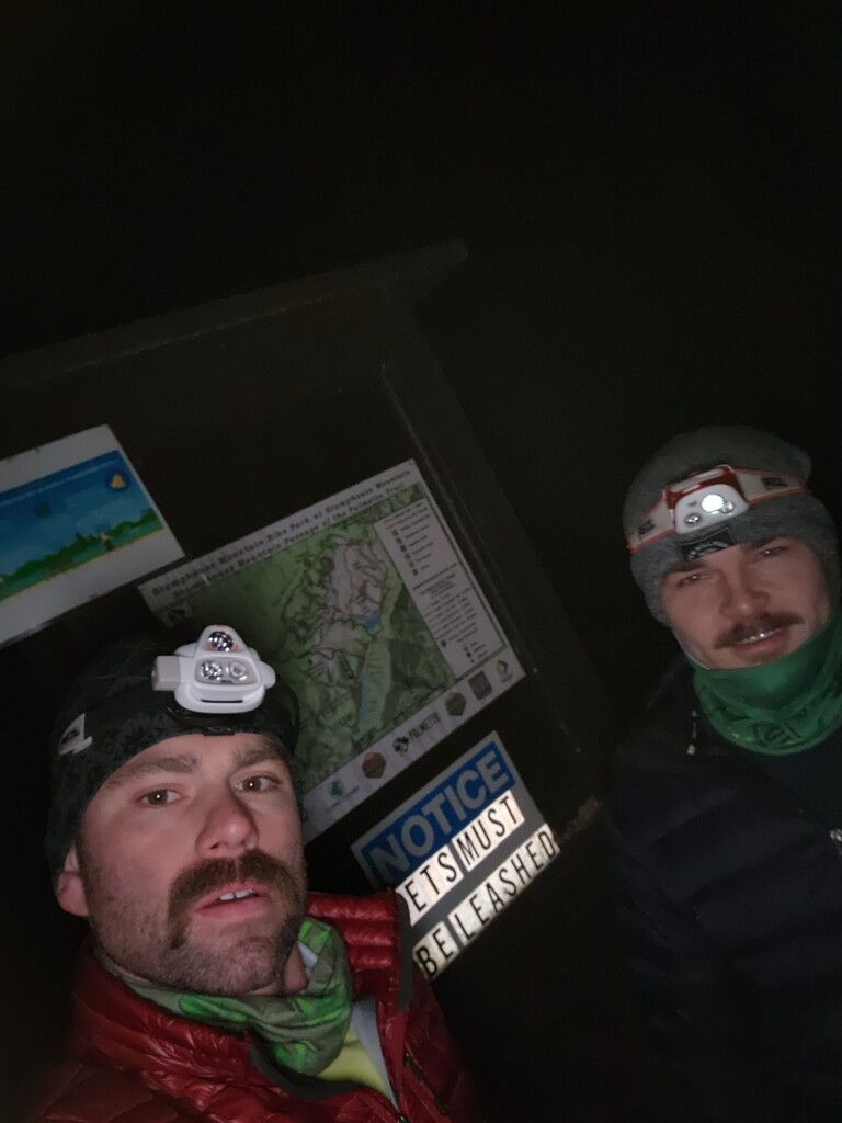
Started out with the front gate to the park locked so we had an extra half mile run just to get to the official start. We started just after 4am so that we could get a good start to the day. The mountains were nice. We did have some trouble meeting up with our crew guy for the day due to road accessibility and some gates being locked. We only wanted 48-50 miles, but I believe we ended around 55 for the day. We set up camp in the middle of nowhere. Taking a shower with a water bottle while it was 25 degrees was a nice touch. Thanks to Darun Barazanchy for crewing for us this day!
Day 2
Getting started took longer than expected due to picking up camp. It took about 2.5 hours to get going. We knew that was valuable time, but when you only have 1 crew person you can't just leave them to clean up everything. We had no choice, but to camp the first night, but we knew we would need to find other options going forward. There was a pretty significant creek crossing early that morning that was difficult to cross without getting wet. Temps were in the 20s and there was quite a bit of ice on the trails. There is a difference in our map and Sean Marden's. He took a trail just north of the official route around Jones Gap. The official route could have been closed at the time of his FKT or something else, but the route we followed was the official palmetto trail. We hammered pretty hard through the day and ended around Lake Lanier a few miles ahead of the FKT at the time. We were definitely feeling beat up by the end of the day, especially after the steep descent down to Lake Lanier. We slept at a friend's house near Lake Lanier that night. Huge thanks to Darun Barazanchy for crewing for us this second day as well!
Day 3
We had quite a bit of road running for this day. In some ways a welcome change, but by the end of the day we were beat up from all the pavement and having to be on a very slanted shoulder. Just before the Hub City passage we did make a slight change to our route as opposed to the previous FKT. Instead of following Sean Marden's path, we saw a way to connect to more of the Hub City passage by taking a frontage road near Milliken Arboretum. It added a little more distance, but it connected us with more of the official trail and made a more continuous route. This section is a little tricky because there are a few pieces of trail that aren't connected and it is tough to make a continuous route. We got through Spartanburg and Wofford college which was a nice area. We stayed at a friend's house in Spartanburg that night. The hub city connector is a little tricky. Our crew guy, Michael Poole helped a ton here so we didn't have to constantly look at our phones.
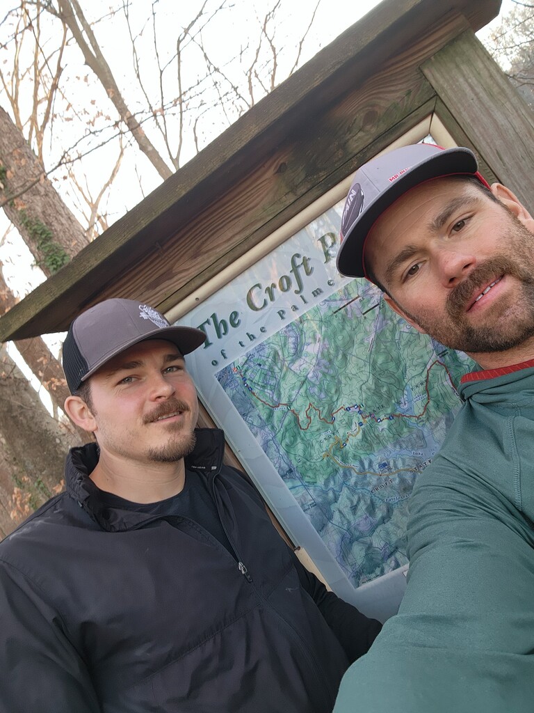
Day 4
This day, we got a little bit of trail running through Croft, but ended with a long stretch of road. It also rained for most of the day. We also got lost that morning driving back to where we left off the previous night. I was feeling pretty car sick when we finally made it. Terrible way to start the day, sick and wasting an hour of daylight. We pushed through until we got to the Enoree passage. Here our map differs slightly. Sean Marden went straight into the park to connect with route. We thought it was better to continue down Old Buncombe Rd and connect with the trail where it crossed that road. This gave us more of the official trail and did not cause any out and back so we thought it was more true to the route. This does not add much more distance, but to be as true as possible to a continuous path FKT that includes as much of the official palmetto trail as possible, this was the better decision in our eyes. We slept in a hotel in Newberry that night. Huge thanks to Dave Dean and Jess Powell for crewing for us on this day.
Day 5
We knocked out the Enoree passage with more rain and then continued on the official route through Newberry. Almost immediately that morning we made a wrong turn and ran in a circle for a half mile or mile. We realized our mistake and made the right turn at the lake. Through the Enoree passage there were quite a bit of horse trails that were slippery and muddy due to the rain. Feet have been holding up pretty well despite all the rain. This section will show a slight difference from Sean Marden's route as well at the end of the Enoree passage. He followed the road which is the old route and is on the Palmetto Conservation website even currently, but signs directed us into the woods. We ran for a half mile or so, didn't see any more signs, so we ran back to make sure we saw the right thing (we did see the sign but also saw that the online map said follow the road). We actually called a number on the Palmetto conservation site and someone answered. They told us to use the "Avenza App" because that is always updated first. The Avenza app directed us into the woods, but the whole ordeal wasted another mile or more of running and about an hour of time trying to get it right. We hated wasting time, but wanted to do the right thing. We ended the day directly across from our hotel in Newberry. Huge thanks to Caleb Gandert for crewing for us today!
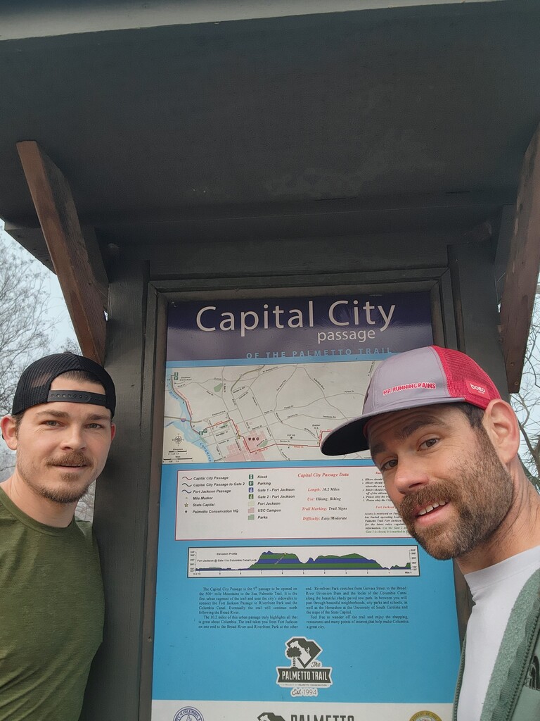
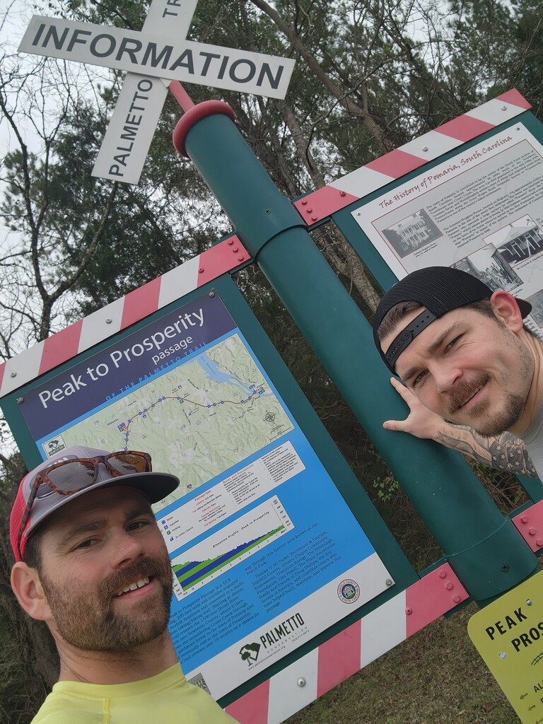
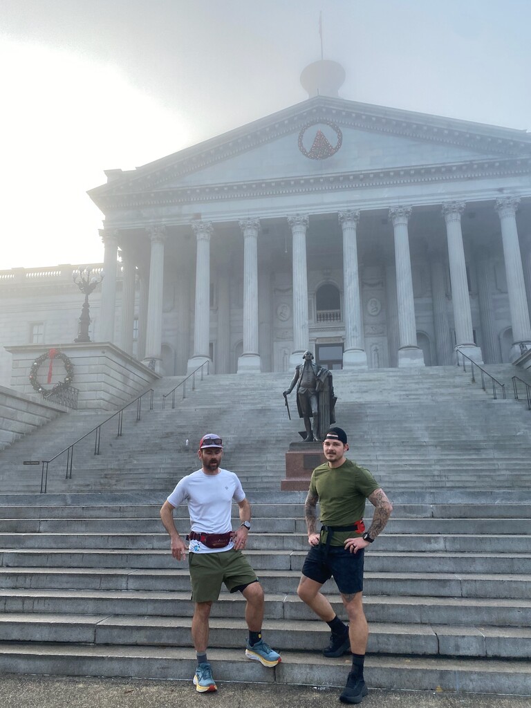
Day 6
Left Newberry headed toward Columbia. Lots more road running. We followed Sean Marden's path and went through the Peak to Prosperity passage. We had been in contact with the Palmetto Conservation Foundation and we knew that they would soon start blazing a new trail here, but it had not been cut. We did add another mile or so heading over there to look at it and see if it was accessible, but it had not been cut yet and we would have been bushwhacking through thick brush, plus it is not on any of the maps yet, so we decided to double back and follow Sean Marden's previous route to the Capital City passage. We stopped in Columbia just before the bridge that has a ramp leading down to the canal on the official capital city passage route and stayed at a friend's house in Columbia. Huge thanks to Jess Powell and Caleb Gandert for crewing for us today!
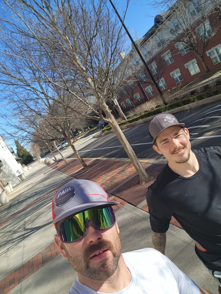
Day 7
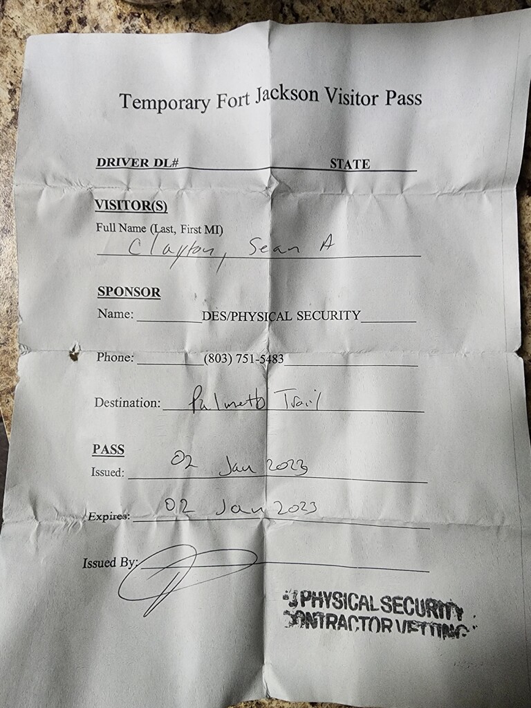
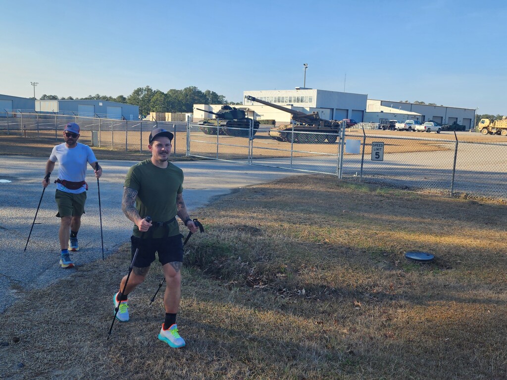
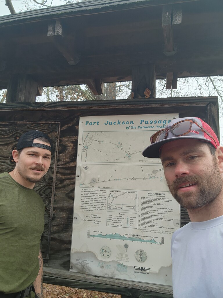
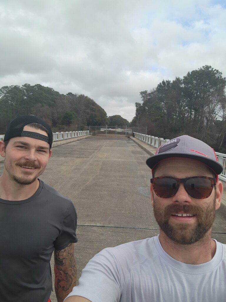
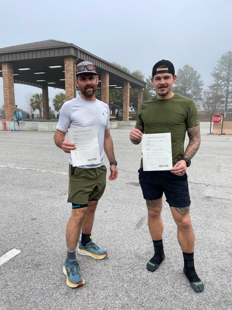
Started around 730am at the bridge and jogged through the Capital City passage up to Gate 1 on Fort Jackson. Sean Marden decided to go a different route here because of the pass needed to get inside Fort Jackson, we wanted to try and get in if possible. Gate 1 is the official route, but it was closed due to new years (Monday was still a holiday for the military). We ran the official route up to the gate, took a picture at the gate, stopped or watches. Drove to gate 2 where visitor check in is and got our background checks (probably 30 min) then drove to the opposite side of gate 1, took a picture, started our watches again, and continued following the official route on foot again. After finishing Fort Jackson we had another long road section to the start of the Wateree passage and we stopped there. We stayed in Columbia for the night again. This was a little bit of an early day, but we had to re-up on supplies and reorganize, so my wife and kids met us at the house we stayed at with the supplies and we got everything back together. Since we had extra time, my physical therapist, Seth Morris, came out and did some soft tissue work on our legs to try and get the swelling down. Huge thanks to Michael Garcia, Jess Powell, Joe Scott, and Aden Corley for crewing through various points of the day. Jess had a civilian pass so he was able to crew for us for the 5ish miles we were inside the fort, Mike came in as well and paced us for a few miles.
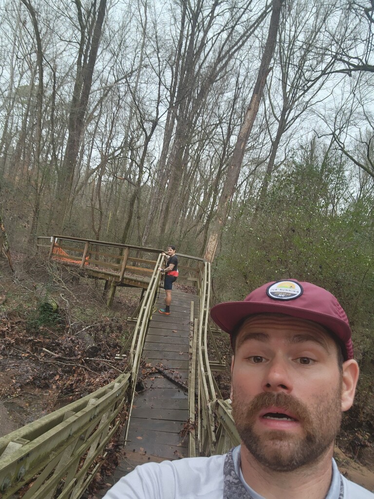
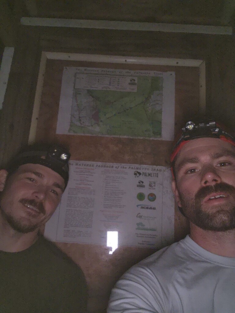
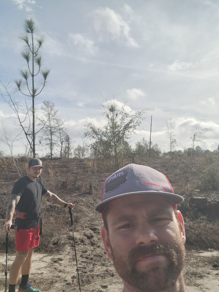
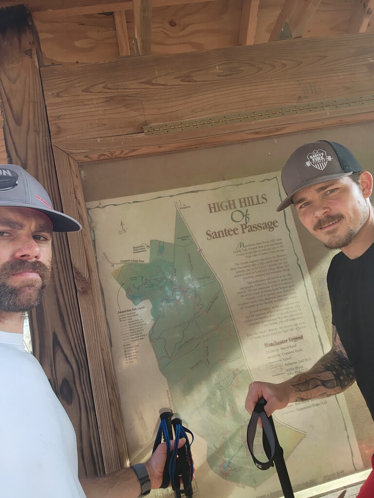
Day 8
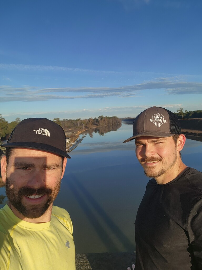
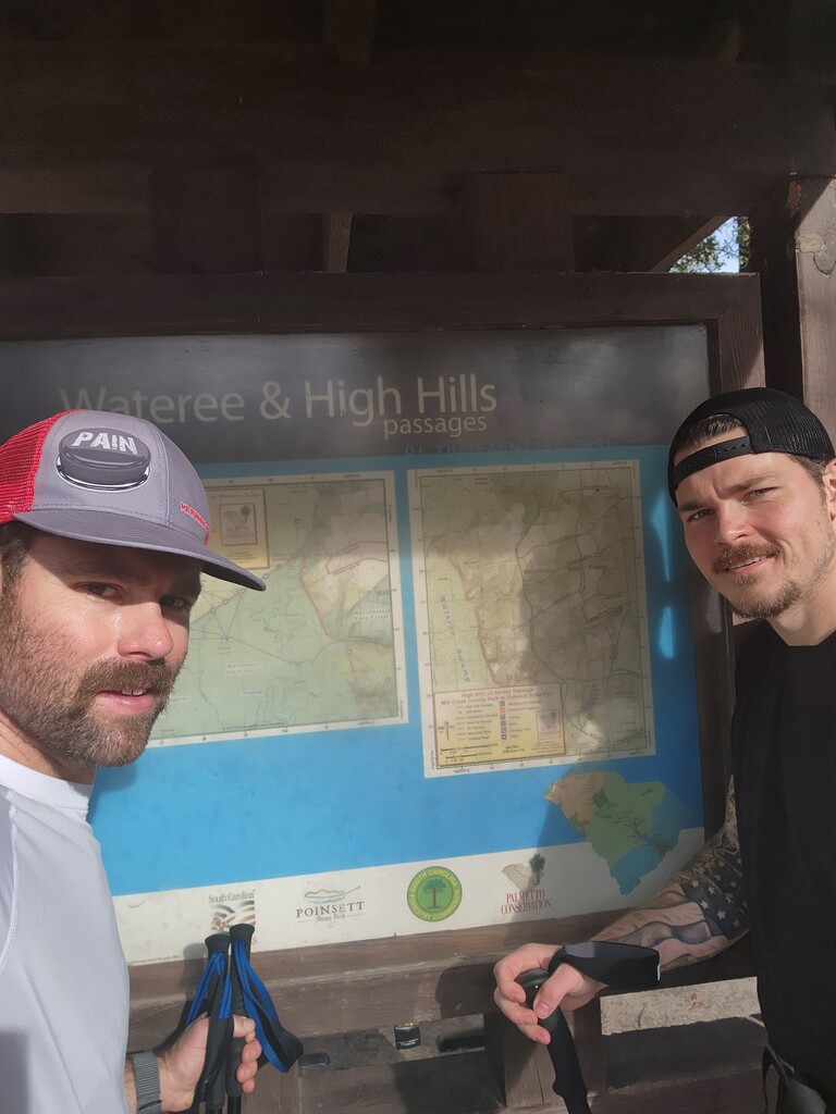
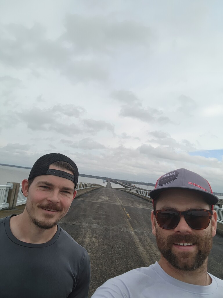
Running the Wateree passage was nice, the bridges over the swamps were really cool. It was a nice change of scenery. After this, the first part of the High Hills of Santee Passage was nice as well, but then it turned to sand, horse trails and much of the surrounding area had been clear cut so it was direct sunlight and we did burn a little bit. Plus you can't really run in the sand so it was slow moving. Toward the end of the day we had more road running, but we were able to get a few sub 11 and even a sub 10 min mile which was nice. We knew rain was coming the next day so we wanted to get a lot of the swamp sections done because one of the park rangers assured us it would flood. We managed to get well into the Lake Marion passage and stayed in a hotel in Santee for the night. Many thanks to Micah Norman and Ryan Spillman for crewing for us!
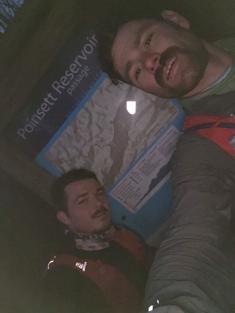
Day 9
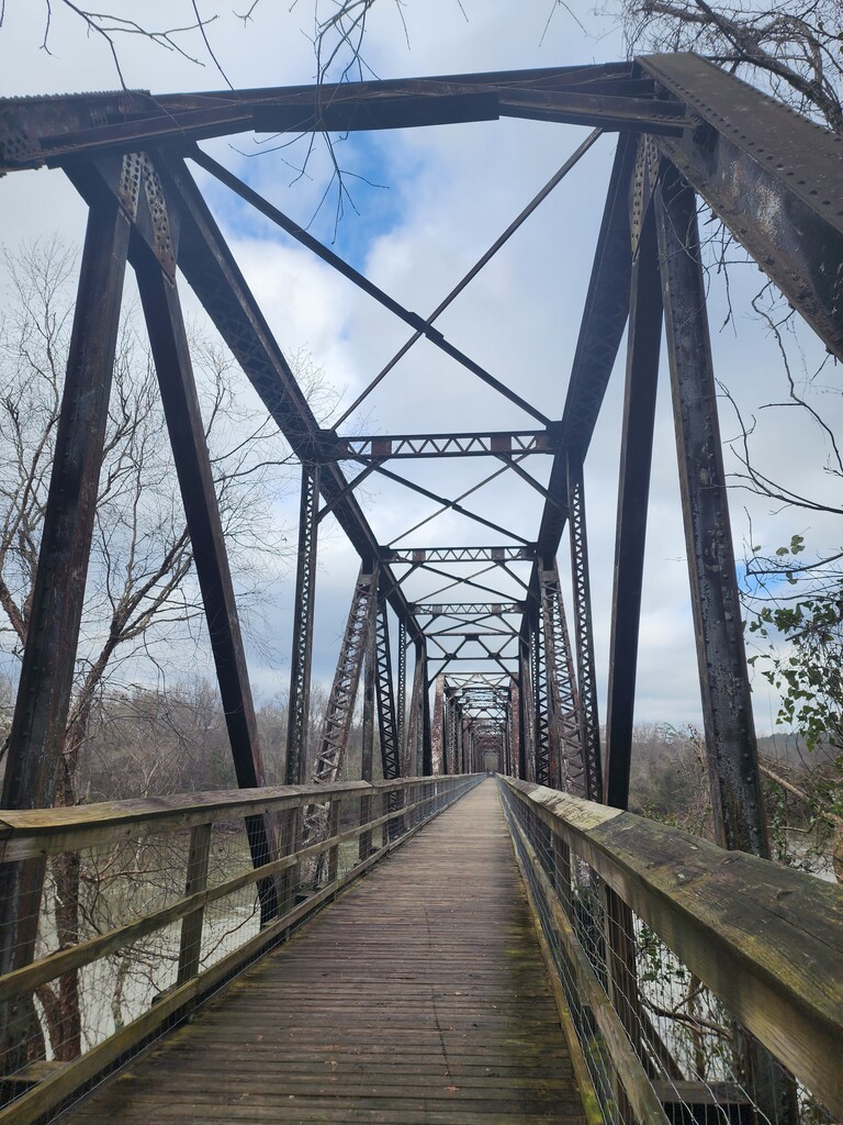
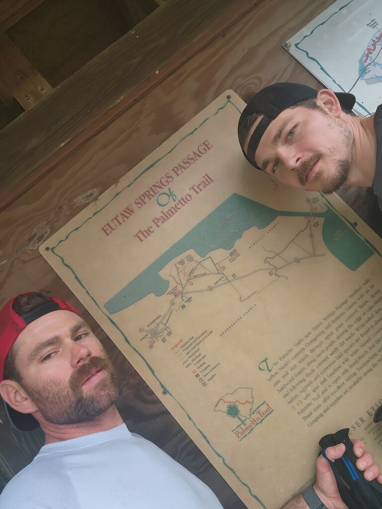
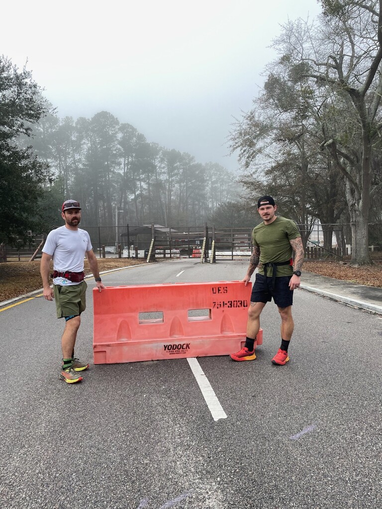
We finished off the Lake Marion passage. The official route follows a bridge beside I-95. Sean Marden had skipped it and said it was inaccessible. I don't know what it looked like at the time he went through, but currently there is a gate there with some barb wire that says "road closed," it does not say that the trail is closed. The gate is relatively small (maybe 40' wide) and has a clear path around it where people walk. There are zero "no trespassing" signs, and when we talked to the Palmetto Conservation Foundation they told us it was fine to do it because it is being converted into a pedestrian bridge, so we ran it with no issues. The Avenza app shows that the bridge is currently open for use and the Palmetto Conservation Foundation website shows that it is open as well. The Palmetto Conservation Foundation It was actually pretty cool running over the water and it was nice windy as the storms were rolling in. After lunch it was pretty much all mind numbing road running and the rain poured on us for most of the day. We cruised through most of the Eutaw Springs passage and stayed at the same hotel in Santee from the night prior. Huge thanks to Aaron Maybach for crewing for us all day in the rain.
Day 10
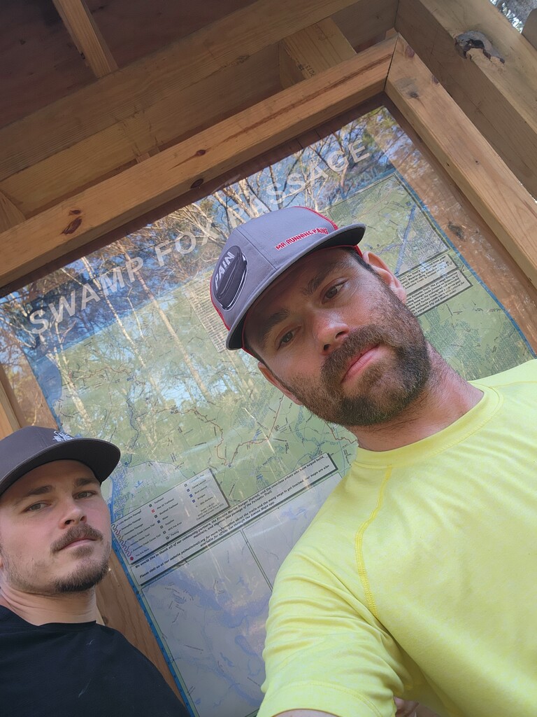
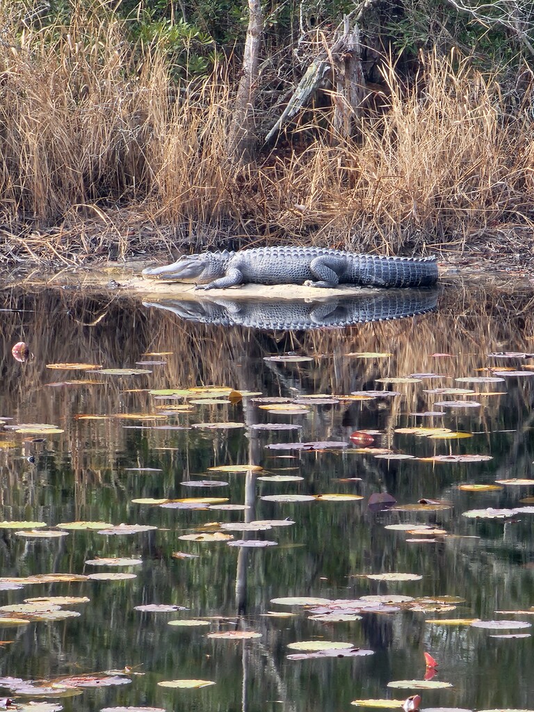
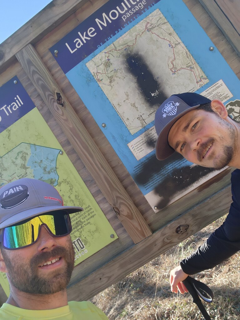
We had about 7 miles of road running in the morning and then went to a lot of packed trail and gravel. We ran the dikes around Lake Moultrie, again a lot of direct sunlight, and then headed into the Swamp Fox passage. Running the dikes was cool because we got to see a few alligators and other wildlife, but the trail was very much welcomed when we got into the Swamp Fox passage. We were hammering through the day and it was getting close to dark when we made our biggest navigation mistake of the whole trip. There was no sign directing us into the woods so we followed the gravel road which appeared correct even in Avenza, but then we got to a trail crossing and realized that there was a trail following close to the road, but just out of sight. Unfortunately, we knew we had to go back so we ran up the trail the opposite way because we weren't sure where we had missed the turn and it went all the way back to where we had started down the gravel road. So we then ran back down the trail to correct our mistake and stay on the correct route. It wasted about 2.2-2.4 miles and valuable daylight, but we did correct the mistake and ran the correct trail. We pushed on into the night because we were hoping for a sub 40 mile day and a daylight finish for our last day. We slept at an Airbnb that night for a couple hours before heading back out. Many thanks to Daniel Little for crewing for us this day!
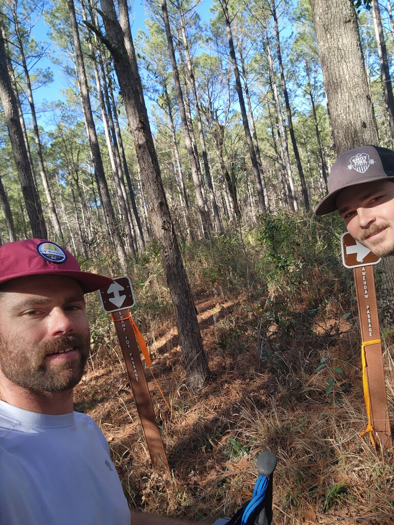
Day 11
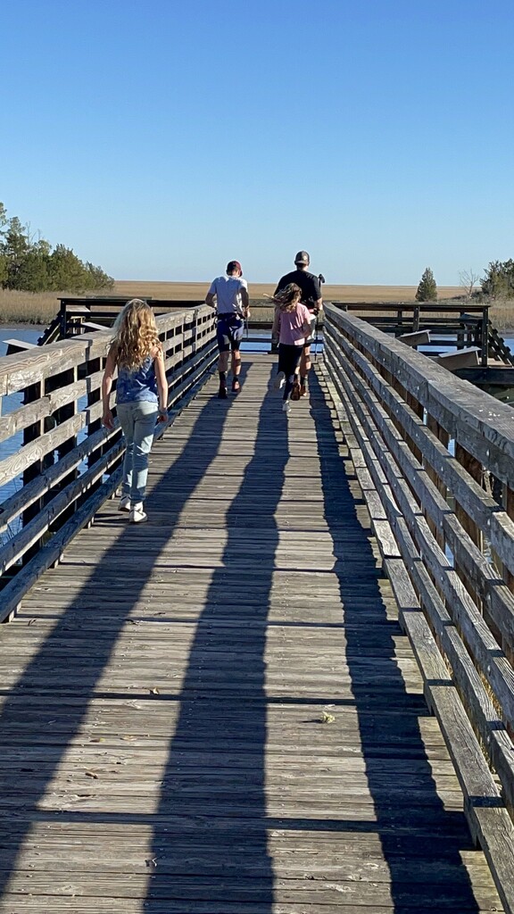
We woke up early and got onto the trail around 5am. We finished up the Swamp Fox passage and got into Awendaw. At this point we knew we would finish in the daylight, and we were a day ahead of the current FKT, so we kind of cruised and just talked about the journey we had gone through and how we were retiring from running after this lol. Awendaw was a really pretty passage, I truly enjoyed the scenery. We got to the end of the official route, but continued running until we got to the end of the pier. My kids were there running with us and they gave us our FKT hats at the end of the pier. Mountains to sea! Thanks to Aaron Maybach for coming back out to crew for us for the final day!
Very thankful to have been able to do this. Can't thank our crew guys and gals enough cause this is literally impossible without them. Huge thanks to my wife and kids for always supporting my crazy goals. Huge thanks to Sean Marden for forging the way and setting the route. As more sections are completed the route will change again and I hope people improve upon our route as well. Records are meant to be broken, if you're needing help or advice to break this one, I'd love to help. I'm not going for it again haha. Feel free to reach out on Instagram: @SeanAClayton