


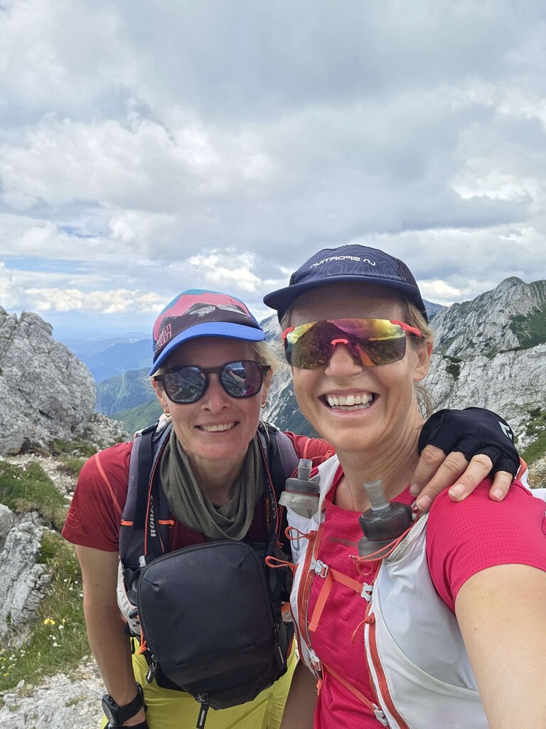




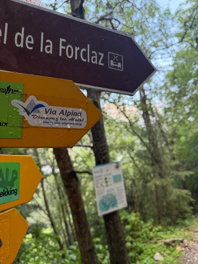
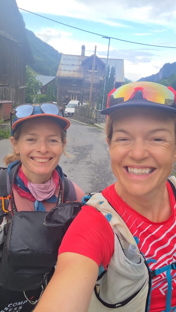
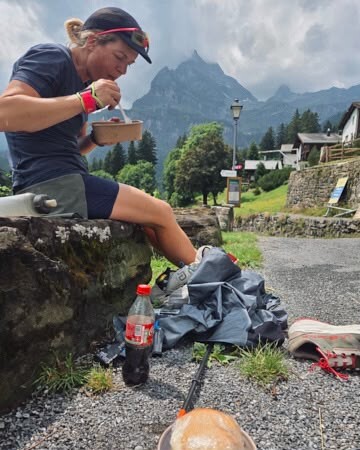
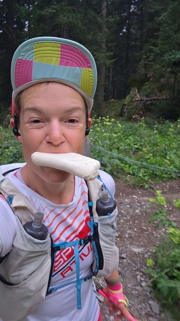
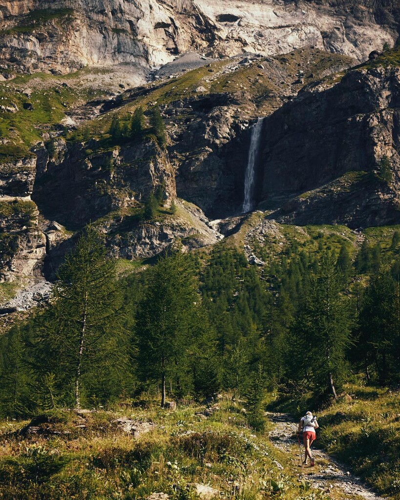
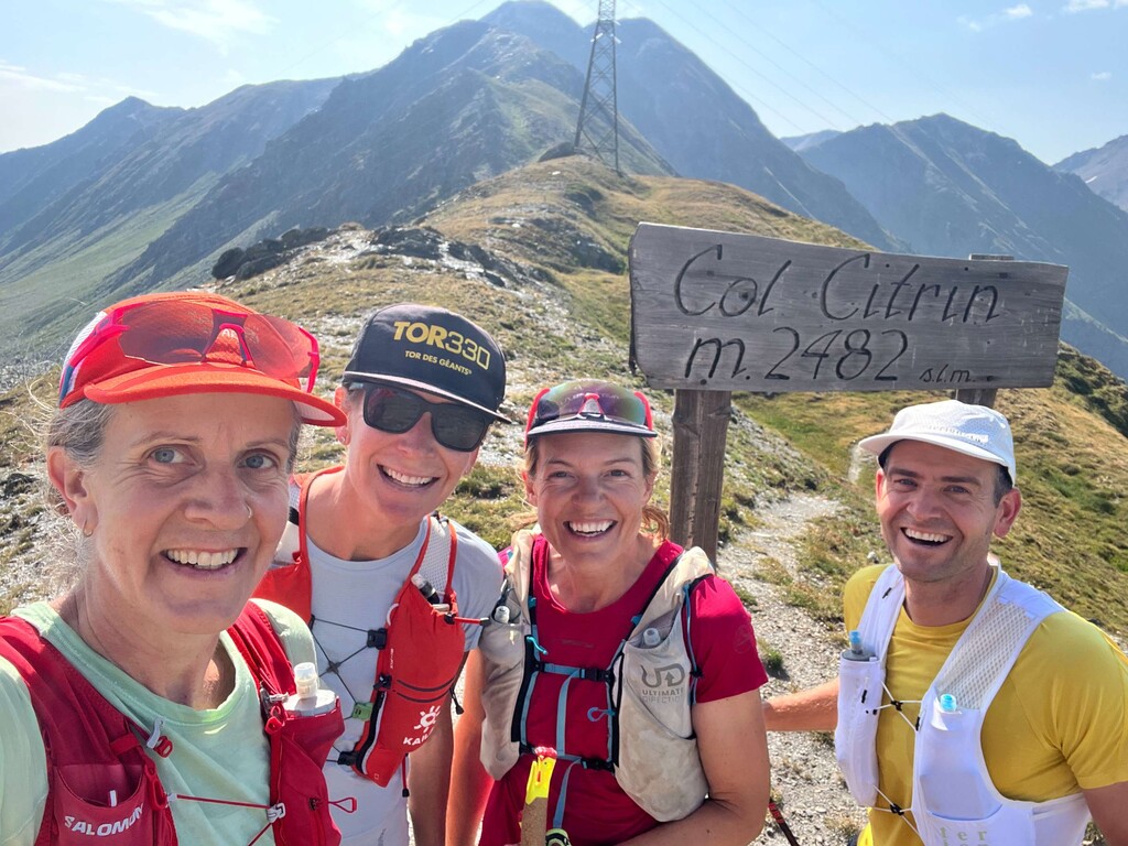
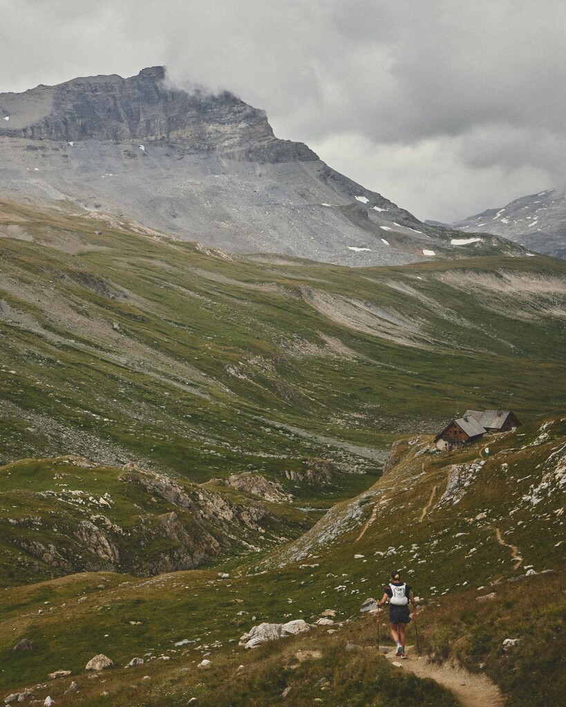
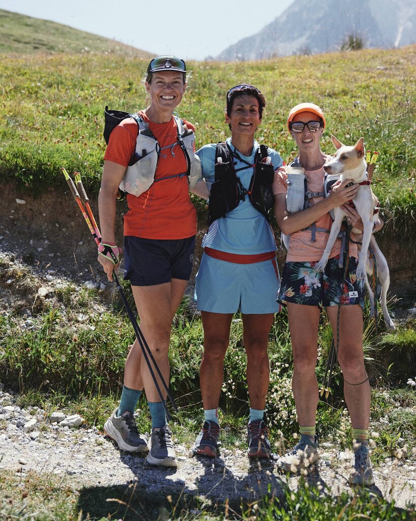
Started running on the 4th of July at 4:29:40 am in Muggia, Trieste. I was supported the whole way by my husband George and good friend Zoe. They resupplied me with food and water and ran sections with me. Zoe recorded video and photos of the trip. Later I was joined for short sections by friends from all over the world who happened to be near or on the route.
The trail was much more technical in parts than I was expecting and having good mountain skills was essential. I had to contend with two heatwaves and some storms but was lucky it stayed pretty dry for most of the attempt. I stayed in the camper van as many nights as I could but stayed in these refuges/hotels to minimize time off route.
Obstansersee Hutte 9th July
Meiler Hutte 14th July - They were super nice letting us arrive very late at night after my initial accommodation further down trail refused to confirm they would take me late.
Samina Park Aparthotel 17th July
Hotel Klausenpass 19th July - it was amazing, good food, delightful room
Cabane Demecre 23rd July - Also super lovely and looked after us so well. Was a shlep up a hill to the toilet though.
Hotel Waldrand 21st July - there was no phone reception here and I almost cried trying to find it
Deviation: 28th July - Les Vigneaux to Champcella
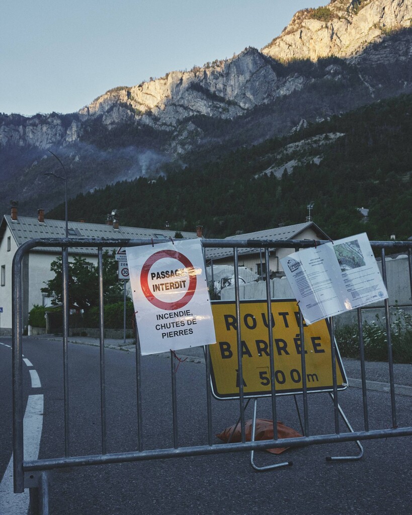
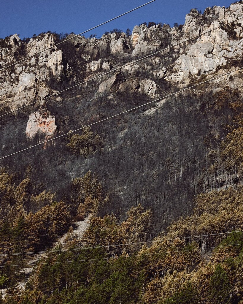
A wildfire in the Bois Noir closed the whole massif across L'Argentière-la-Bessée and Freissinières to hiking and running from 20th of July, and separately banned the Col de la Pousterle and the descent into the vallon du Fournel. The official line crosses all three, so no compliant part of it was available. I announced the detour on social media before taking it.
I followed the Parc national des Écrins prescribed detour for the part of trail that follows Tour du Pays des Ecrins via Les Vigneaux and La Bâtie des Vigneaux, no official detour was available for the remaining sector which was confirmed with via-alpina.org so I continued south on trail before turning back up to to Champcella at the edge of the closed area being sure to pick a route that was no shorter or less climbing while rejoining track as close as I could. I have attached the original and detoured section as separate GPX files
Official line 21.8 km, 1301 m ascent.
Deviation 29.64 km, 1391 m ascent: 7.84 km longer with 90 m more elevation
There are so many incredible places along the way that it is hard to pinpoint my favorites but the Triglav National Park was stunning.
The climb out of Valgrisence over to France was gorgeous and the Ecrins with the way they feel almost like you are on Corsica.
I pushed hard in the final few days and finished in Monaco ahead of schedule at 22:28:44 on 1st August
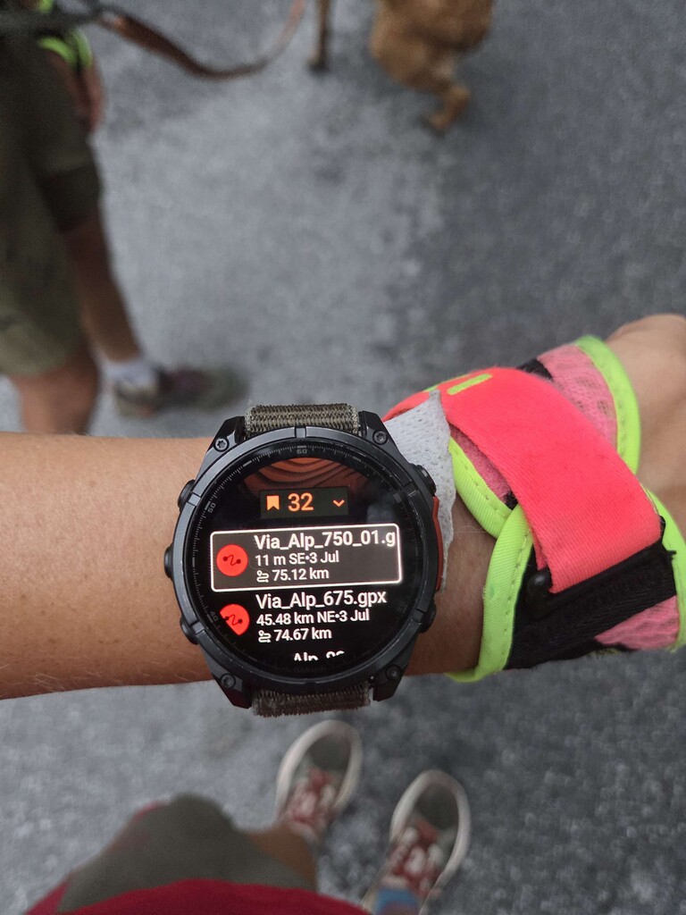
I tracked on my Garmin Fenix8 in normal power mode with 1 second recording and my Garmin InReach Mini 2 with 10 min intervals.
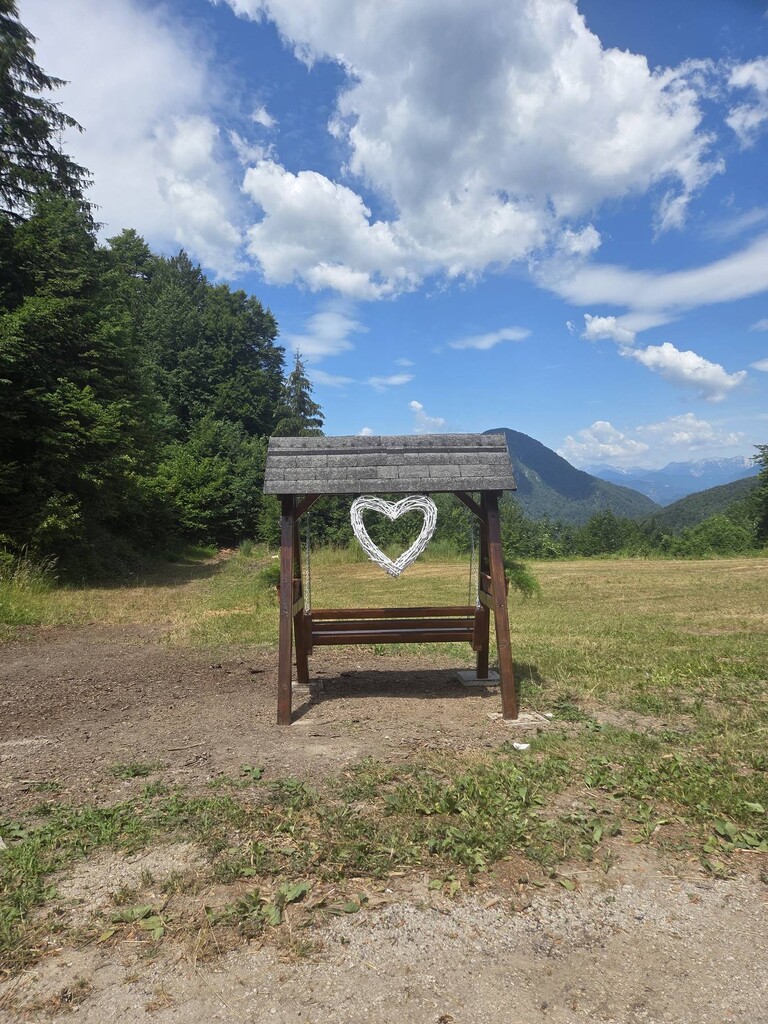
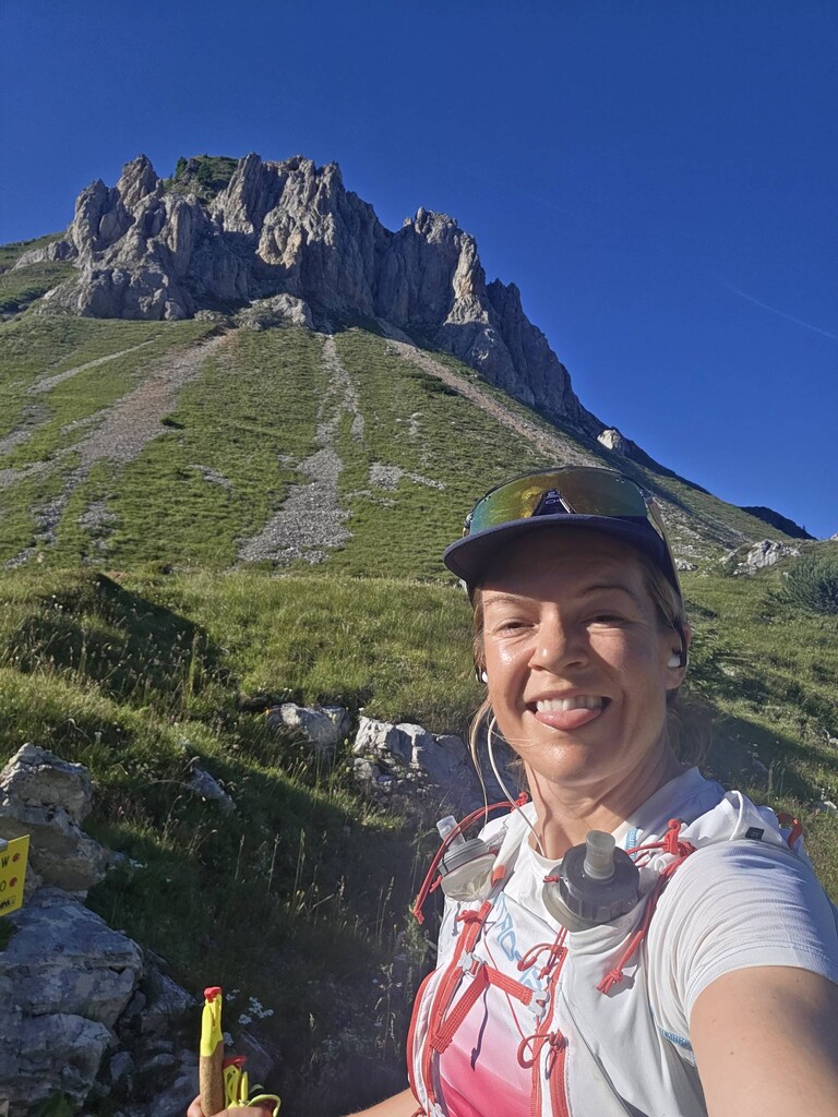
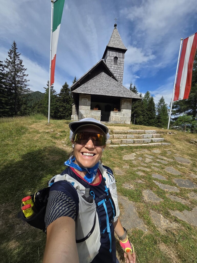
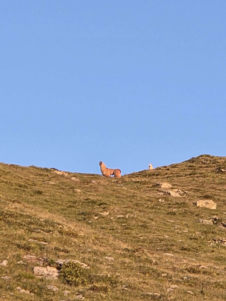
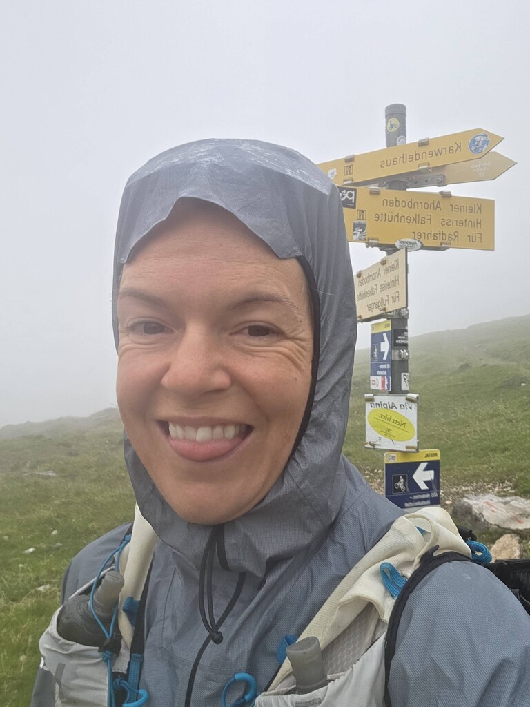
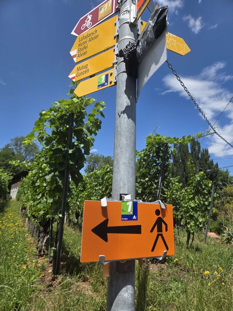
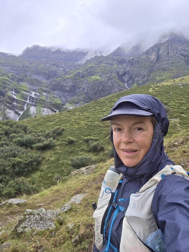
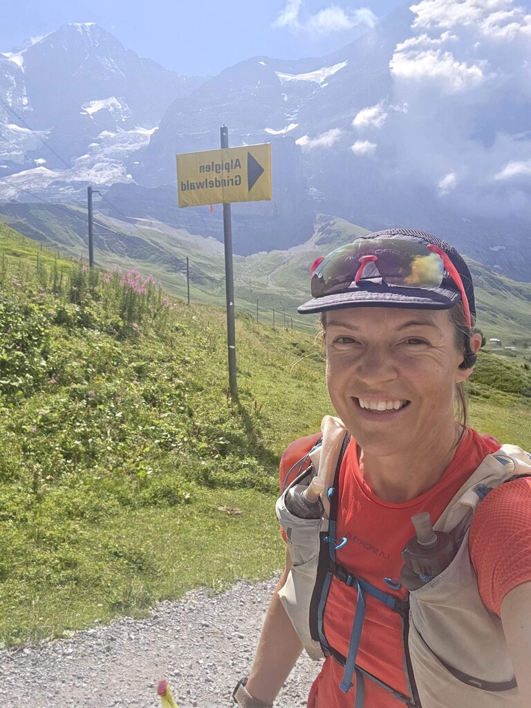
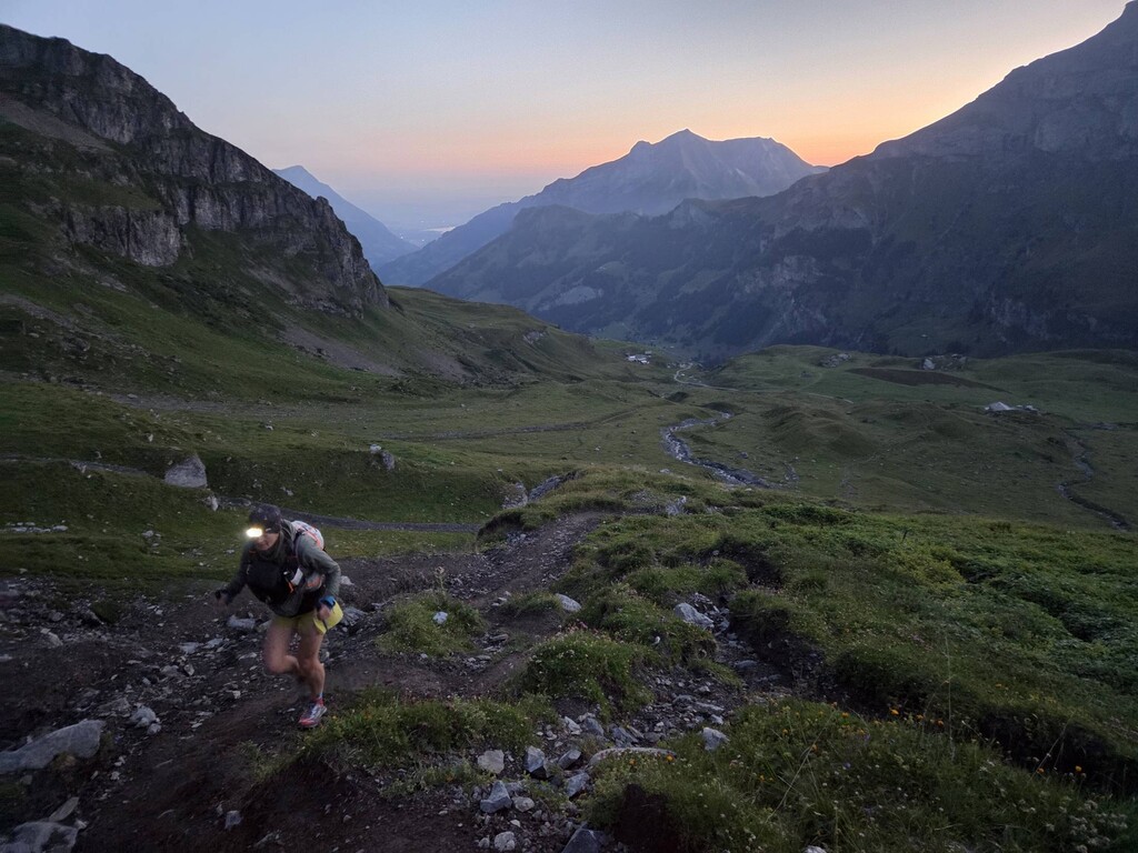
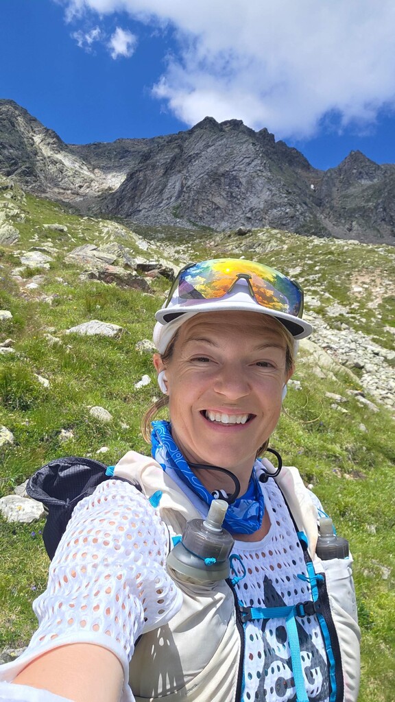
I have attached selection of photos, all selfies are taken by myself and include location metadata. Additional photos taken by @zoe_salt_photography on Canon R5 do not have location but have all original metadata.