



I started that sunday not too early at 7:15 am. The weatherforecast promised a good day for running - warm but cloudy at least until 11:00am and then sunny but not too hot.
From Glücksburg castle the first section leads through a little forest before you reach the Flensburg firth at the Sandwig bay close to a big hotel. While navigating through that little forest, I recommend, you follow your watches directions instead of looking for signposts. I got a little confused by one of the old signposts and took a wrong turn, but noticed that soon after and turned around.
As soon as I had reached the shore of Flensburg firth, routing was pretty easy. You basically follow the shore and where you can not, because you have to cross a forest (e.g. before reaching Meierwik) or because you have to bypass a Military Zone (Mürwik Marineschule), the route is well marked. The course is mostly flat, but when you have elevation gain, it is quite steep and sometimes includes stairs.
From Sonwik marina onwards it feels like running along a waterside promenade and you get good views of Flensburgs harbour and old town. The jetty at the Museumswerft (museum dockyard) on the westside of Flensburg harbour is home to Dagmar Aaen of famous adventurer Arved Fuchs.
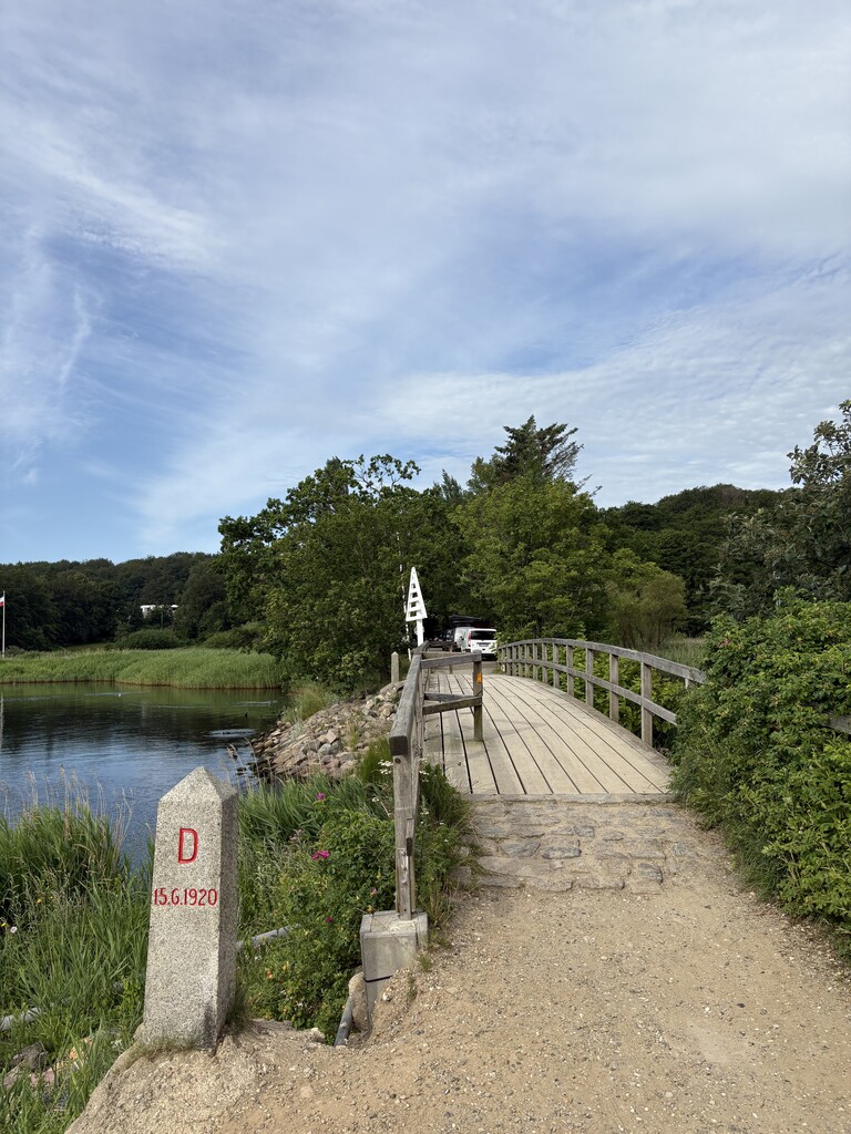
Soon after leaving Flensburg harbour the route crosses the border to Denmark on a small wooden pedestrian bridge at the location Schusterkate. Now the route is a not very busy, sometimes narrow single track along the coast with periodic shade, sometimes leading through small woodland, sometimes directly along the shoreline and rarely on footpath along roads (mainly around Sonderhav).
After roughly 37km I reached Alnor Strandpark in Egernsund. At the backside of the toilet building you can find a sink with water tap to refill your bottles. Then the route crosses the bridge of Egernsund and some residential areas of Egernsund and Broager, but after about 6km more (from the water tap) reaches Broagerland, that can be described as a peninsula in Flensburg firth. Now the track is even more calm, sometimes almost remote. Now and then you come across some farms and small groups of houses.
There are several sections where the route goes along sandy or pebble beaches, with the biggest and quite challenging at Kragesand between KM 56 and 58,5. At KM 62 you come across Broager Strand Camping in Skeldebro, where you find a good public toilet to refill your bottles once more.
Leaving Skeldebro, the route goes up and along a cliff and then all along the bay and long beach of Vemmingbund. Here the track is sometimes very narrow and super close to the surge so you very likely get your feet wet. Before the route leaves Vemmingbund by climbing another cliff, it passes the Dybbol Banke, a place of historical importance to the local Danish, since they fought here against Prussia about 150 years ago. Some signs along the track inform about the different places (like Tysk Skanse 12) and you can see Dybbol Molle, an old windmill on top of the hill and somehow at the center of Dybbol Banke.
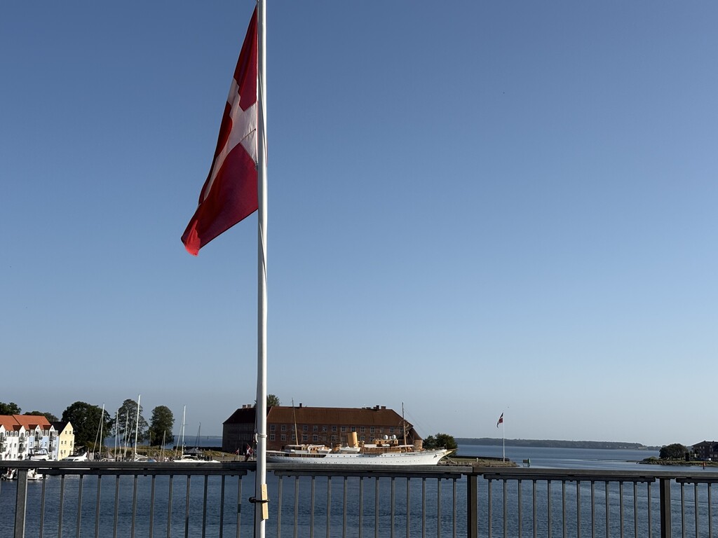
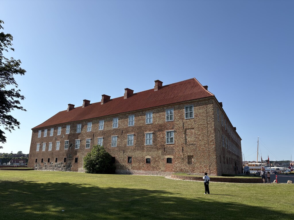
At about KM 74 I reached the street Sundgade and Sonderborg. You can now see Sonderborg castle at the other side of the Sund (strait) and the bridge that the route crosses at KM 75.
After a total of 9:54 hours I reached Sonderburg castle at 5:09 pm.
In the retrospect I can say it is a very runnable and enjoyable route and the time of 9:54 hours can reasonably easy be broken (I needed a break at Vemmingbund) - so feel motivated!
It is easy to get some fresh water at favourably situated spots along the route. Getting to and from the trailheads includes some organisation, but nothing too difficult, as start and end are in urban areas.