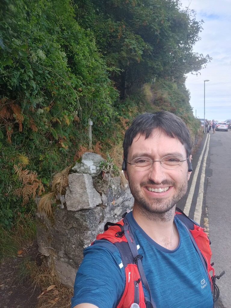
This is a very scenic and varied route. Definitely worth doing and it was a great choice for a holiday outing. Weather was dry until I got to Castle Rock at which point it started drizzling.
I think there are a few places where the route description and/or GPX should be a little bit more specific to ensure efforts are comparable:
- Ascending the North face of Hollerday Hill: I turned off the South West Coast path approximately where the GPX tells you to and passed a rocky outcrop on the right. Someone added a Strava segment for this ascent which turns off the South West Coast path earlier and passes the rocky outcrop on the left. The former is a few meters shorter, but I don't know what it is like underfoot and which is the more common route.
- Descending West face of Hollerday Hill: Route description says to "descend down its western face on the track". I think it is possible to follow the path up to where the rocks start, scramble almost the complete way down without problem and then escape the last big boulder to the left/South.
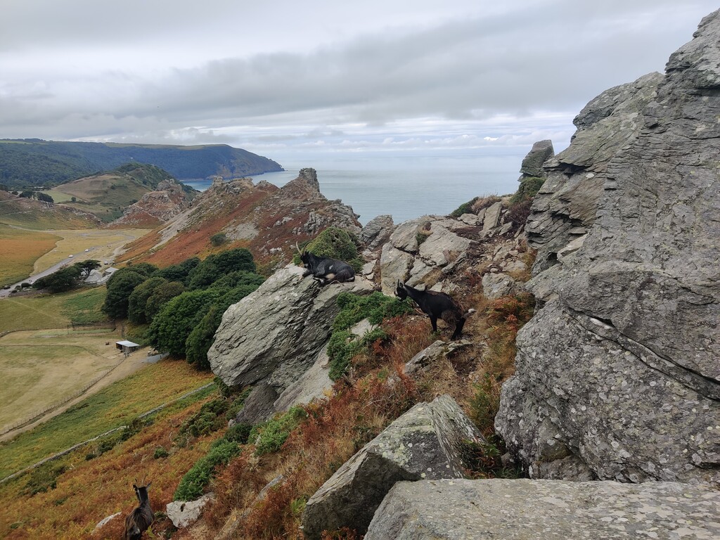
- Pinnacles on Valley of Rocks traverse: While most of the traverse can be scrambled (instead of sticking to the trod a few meters to the left), there seems to be two pinnacles which are easy enough to scramble up coming from the East, but descending on the West face seems unnecessarily dangerous. I escaped both by scrambling down to the left/South. In both cases a trod seems to pass both pinnacles on the left/South, so not sure if they should be climbed or not.
- Pinnacles on Valley of Rocks traverse: The last pinnacle mentioned above is probably also where one should descend via the scree slopes on the South face. The route description says to "descend down the scree below onto the coastal path" which at this point still runs to the right/North of the ridge, but the GPX seems to go left/South. The latter is also the most common descend according to Strava heatmaps and the route I followed.
- Ascend of Castle rock: Most of the ascend is an easy enough scramble, but there is a summit pinnacle which I think is definitely climbing territory (5m+ vertical rock). I run/scrambled passed this pinnacle on the right/North and then crossed over to the South. There I doubled back a few meters (going East) to join the path which descends Castle Rock (initially going West before turning back East).
NB: I turned off the road to ascend South Cleave at a footpath sign. That seems to be about 5m too early and I had to double back to hit the correct path.