


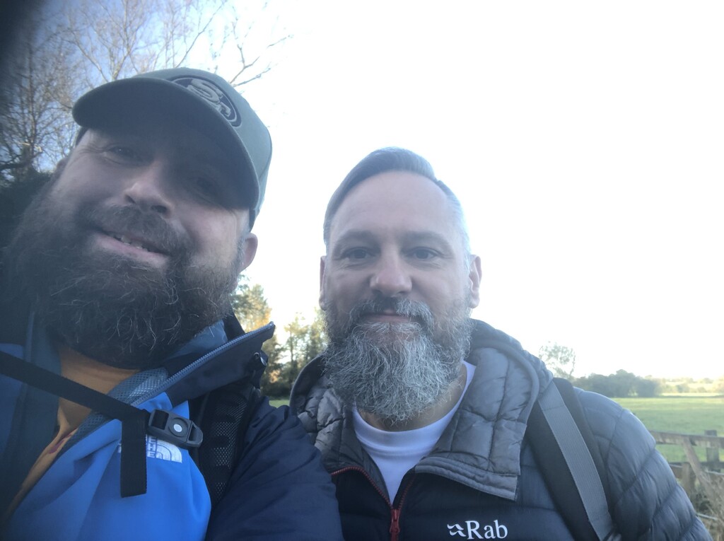


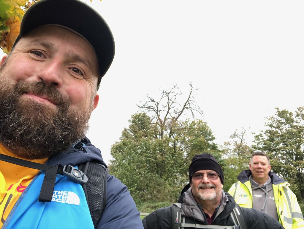


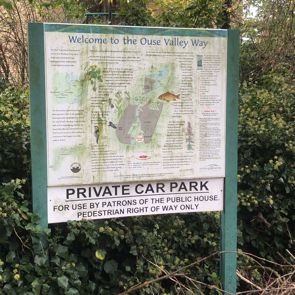


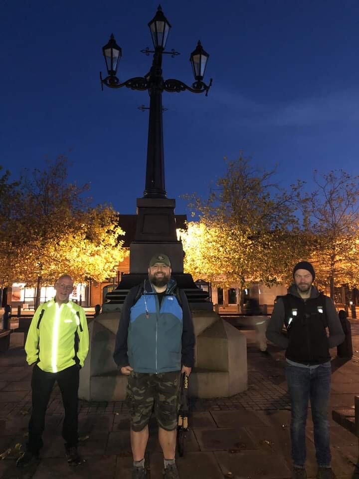
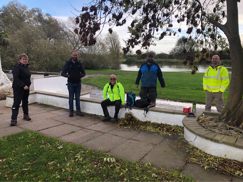


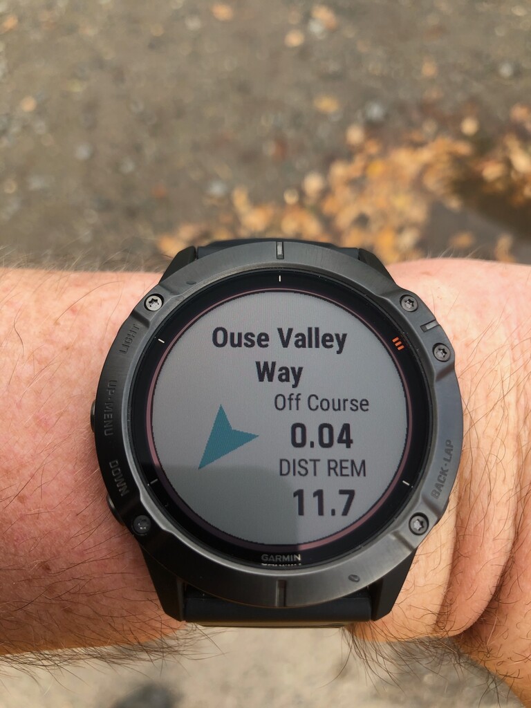

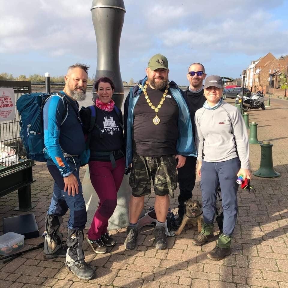
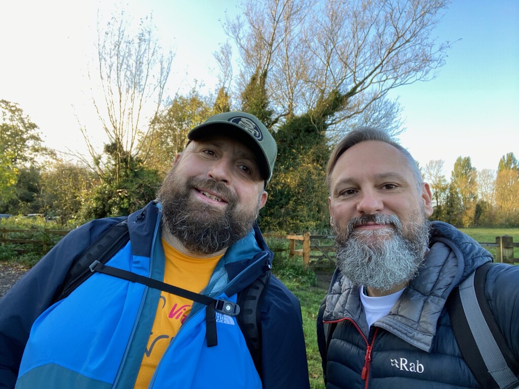


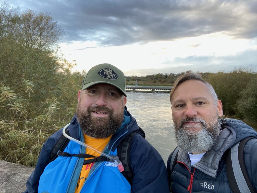

In October 2020, I walked the entire 152-mile length of the Ouse Valley Way in eight days, four hours, and one minute. I had initially intended to complete this challenge alone, accompanied only by audiobooks and podcasts. However, as soon as I announced my intention to walk it, I was immediately overwhelmed with offers of support from friends and acquaintances. In the end, I was accompanied every step of the way, except for a single disastrous afternoon when I ended up crawling through a swamp.
This was a thru-hike, in which I left the trail each evening and returned to the same point the next day. Wherever possible, I stuck to the OVW trail as defined by the OS Landrager Maps, although in some locations the route on the ground (as marked by waypoints) was slightly different. On a couple of occasions, I took a longer diversion around flooded meadows to avoid getting wet boots.
Stage 1: Syresham to Stoney Stratford
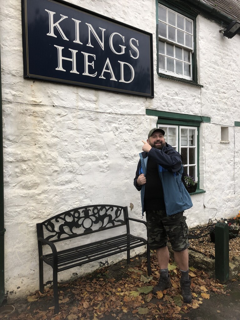
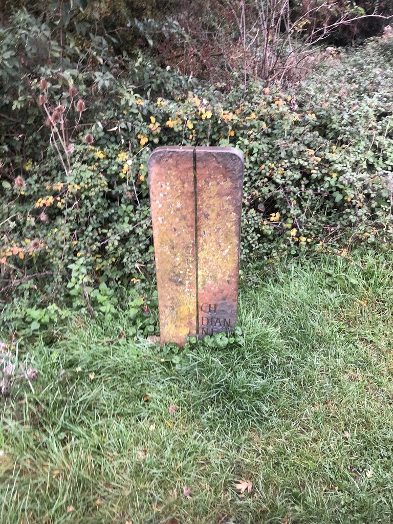
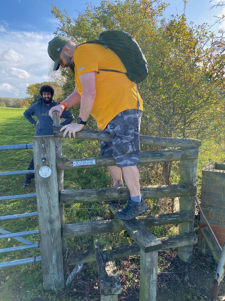
Anyone foolish enough to attempt to walk the whole of the Ouse Valley Way will inevitably leave the starting point - the Kings Head pub in Syrensham - in good spirits, enthusiastically pacing down the residential streets of the small Northamptonshire village. After about 200 yards they will cross a busy main road and encounter the real entrance to the OVW, an unmarked rickety wooden stile covered in brambles, and surrounded by stinging nettles. Beyond that stile is a ploughed muddy field, with a similar overgrown stile as its exit point. The trail is not marked, or seemingly maintained, rapidly destroying any illusion that this will be a comfortable journey.
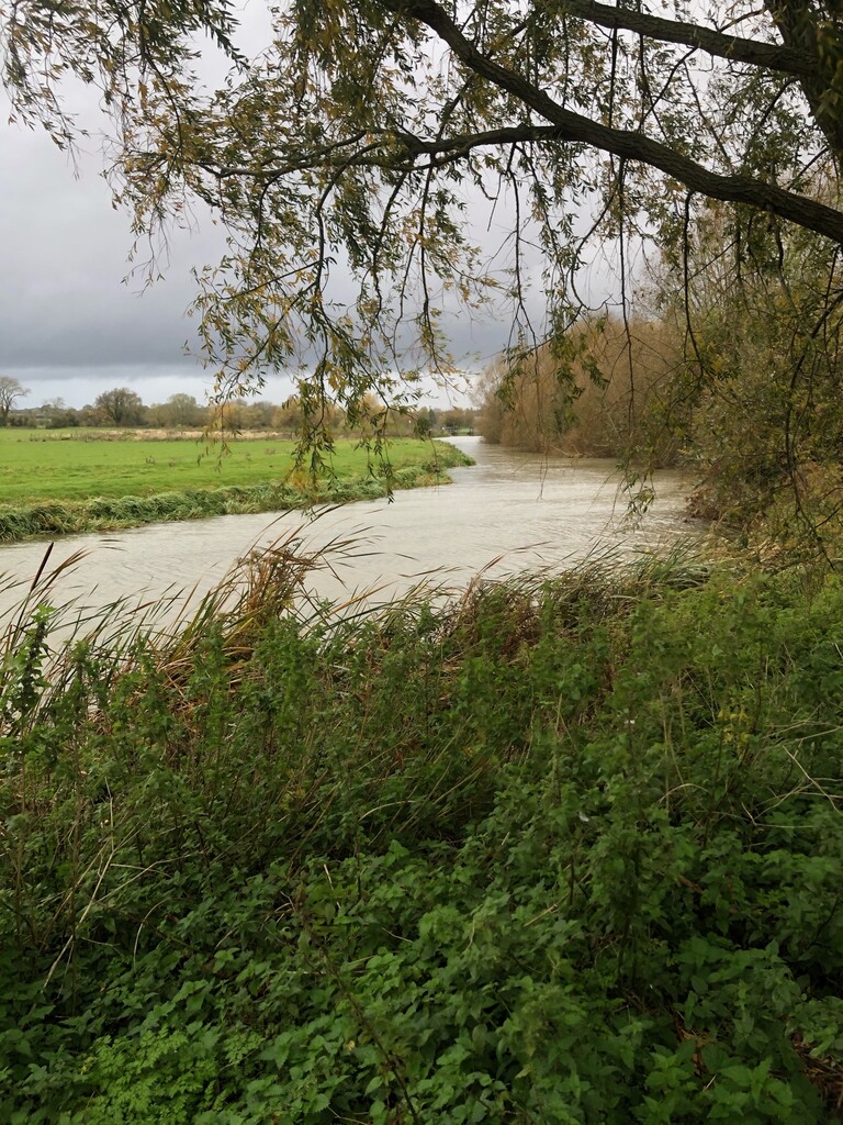
In the early stages of the journey, the River Great Ouse will be a fleeting acquaintance. You won't see her for the first mile or two, and then you will mark her every appearance, here she is no more than a babbling brook that hardly deserves the moniker "Great".
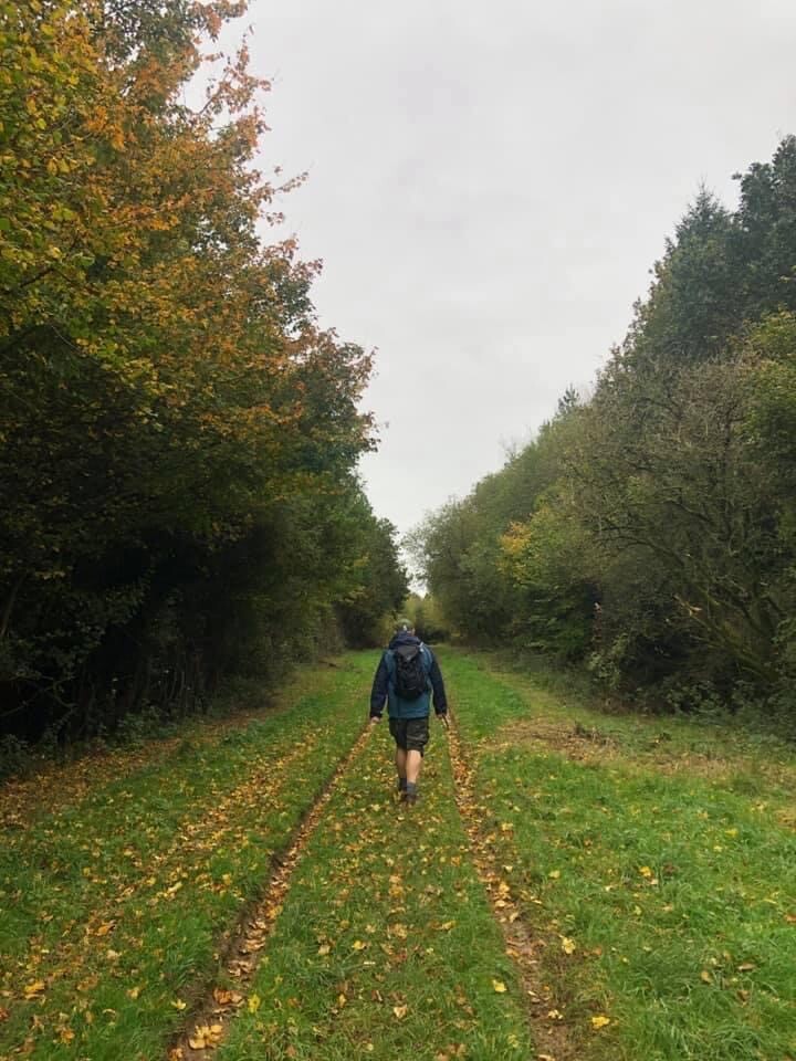
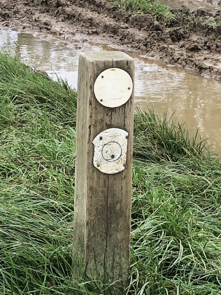
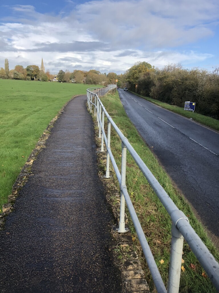
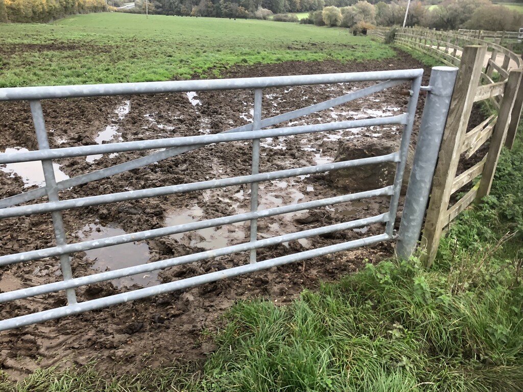
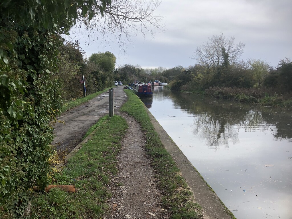
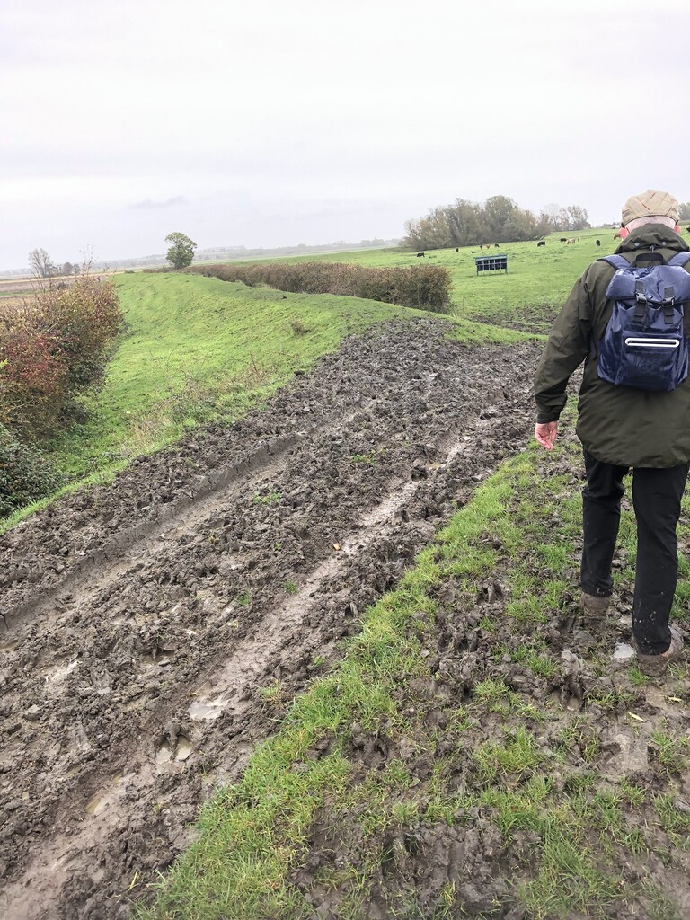
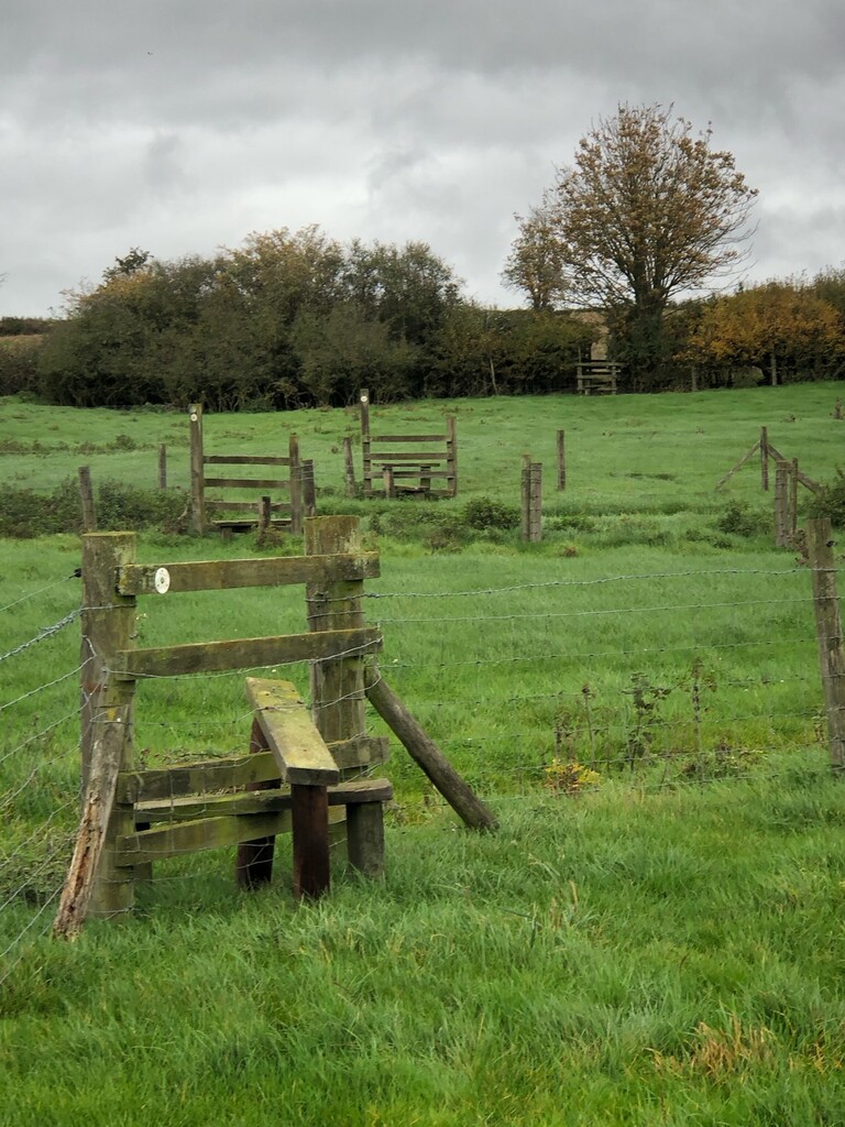
The first day involves walking through meadows and farm fields and a long stretch on a slippy muddy path by the side of a disused canal. The real killer was 34 stiles that I had to climb (many of them rickety), two electric fences and one locked gate. The trail is poorly marked and (apparently) rarely walked. Navigation is a real problem, as the trail often diverts from established footpaths without any warning. Most of the day was spent tracking diagonally through fields and trying to spot exit points.
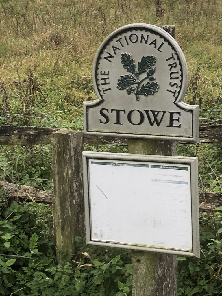
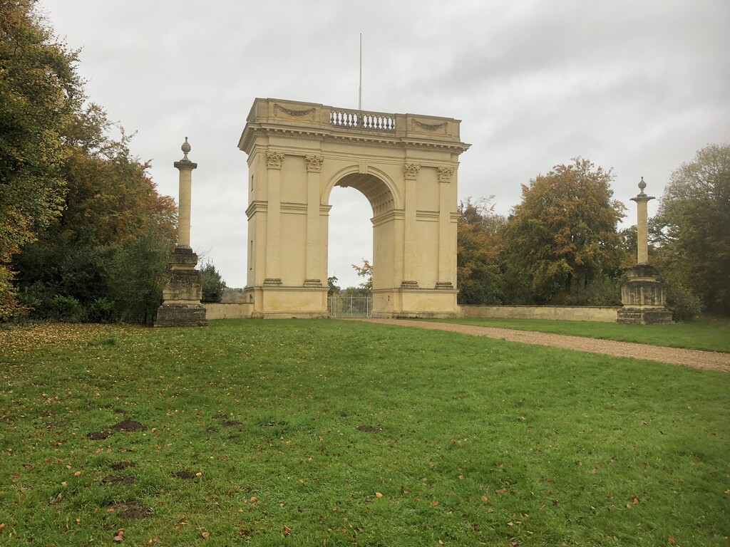
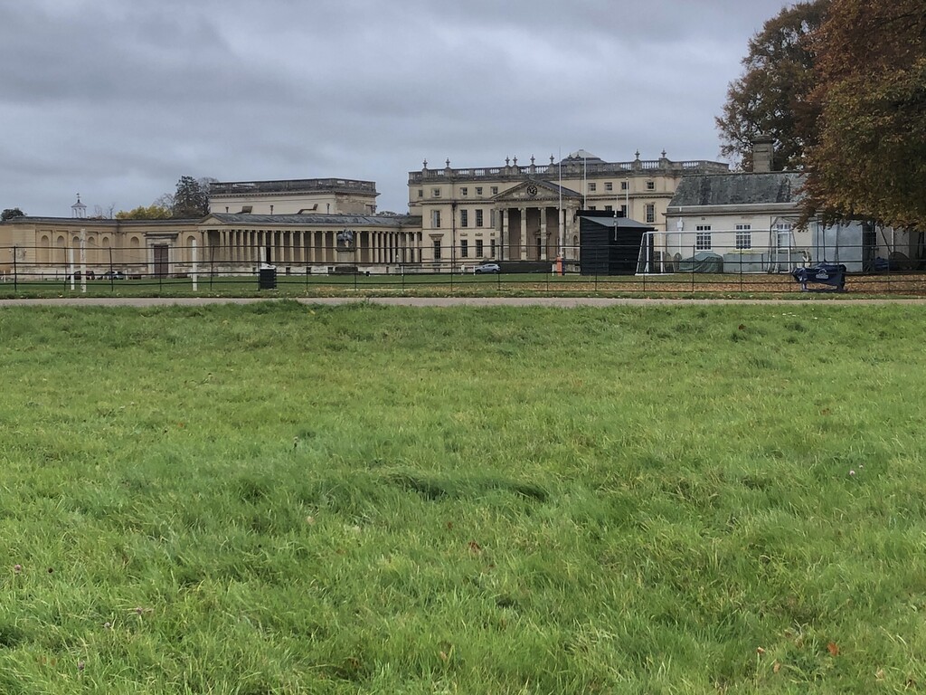
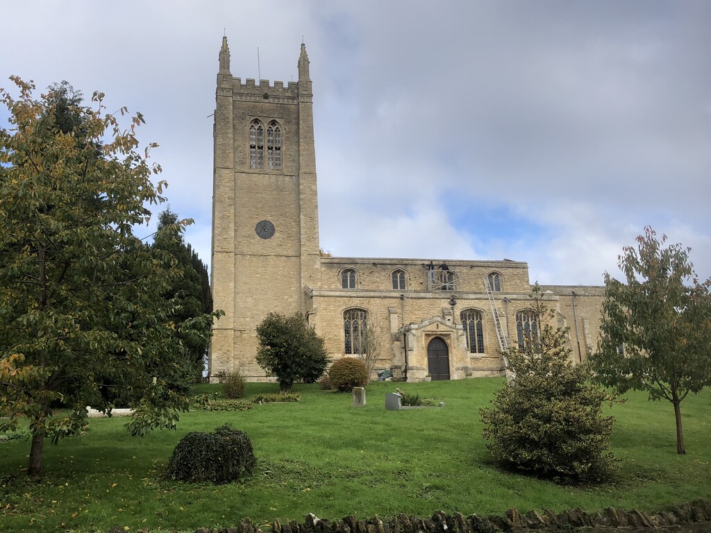
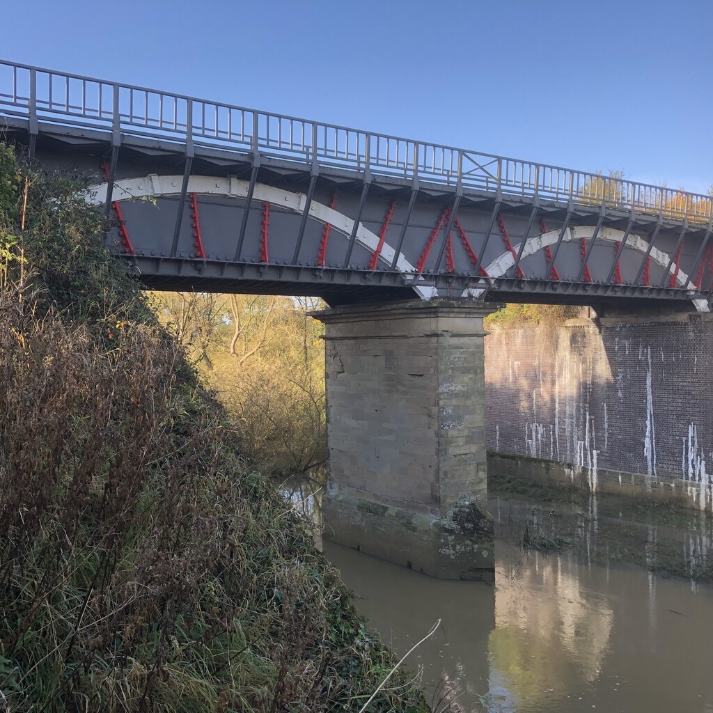
The highlight of the first day is where the OVW passes through the grounds of the National Trust's Stowe estate (which houses an exclusive private school) and the pleasant journey through the nearby town of Buckingham. This is the first time that you will walk alongside the Ouse for any length of time, but it doesn't last for very long. After Buckingham, the OVW leaves the banks of the Ouse and follows the course of the disused Buckingham branch of the Grand Union Canal, before once again tracking through muddy farmer's fields on the way into Stoney Stratford.
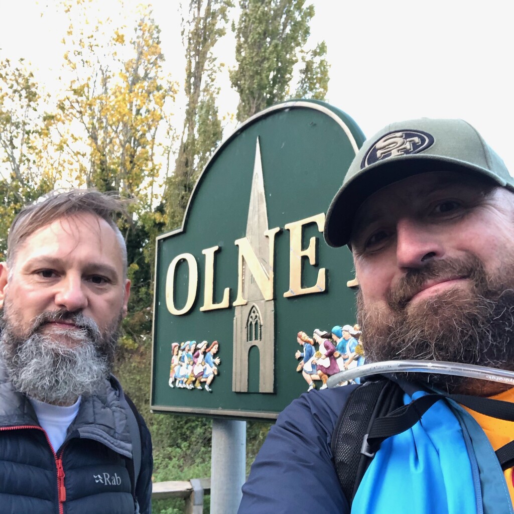
Stage 2: Stoney Stratford to Olney
The first section through MK, along the Ouse and the Grand Union Canal was delightful; the second part was somewhat tougher with flooding, lots of mud and seven stiles.
The canal section provides some beautiful vistas of the individual communities that have been artificially welded together to form the modern metropolis of Milton Keynes. It never feels as if one is in the middle of a new town.
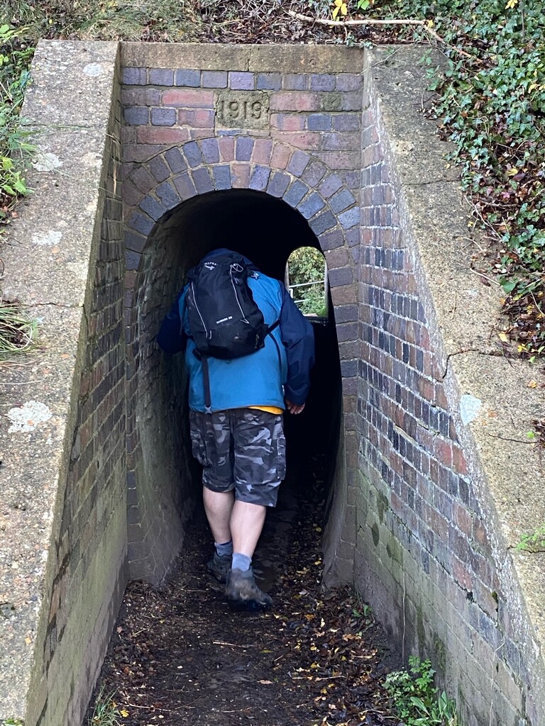
Eventually, the path leaves the canal and rejoins the Ouse passing through some flooded dairy meadows. The OVW eventually climbs out of the valley and diving under a flooded underpass of the M1.
In places, the OS trail frustratingly leads through the middle of challenging muddy farm fields, when there are more convenient hard surfaced footpaths and roads around the outside. Once again the Ouse was a rare sight, apart from in the utterly charming towns of Newport Pagnell and Olney.
Stage 3: Olney to Stevington
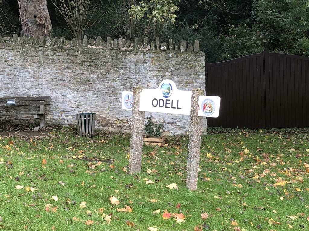
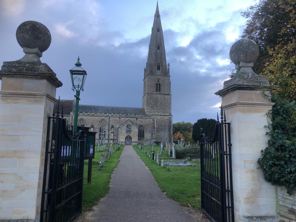
There is a notable improvement in the quality of the trail as one enters Bedfordshire. For most of the day, the path was well marked and very well maintained, Beds cares more about walkers than Northants or Bucks or MK. I spent the rest of the day walking through a charming rural setting. The highlight of the day is where the trail passes through the lovely Harrold-Odell Country Park.
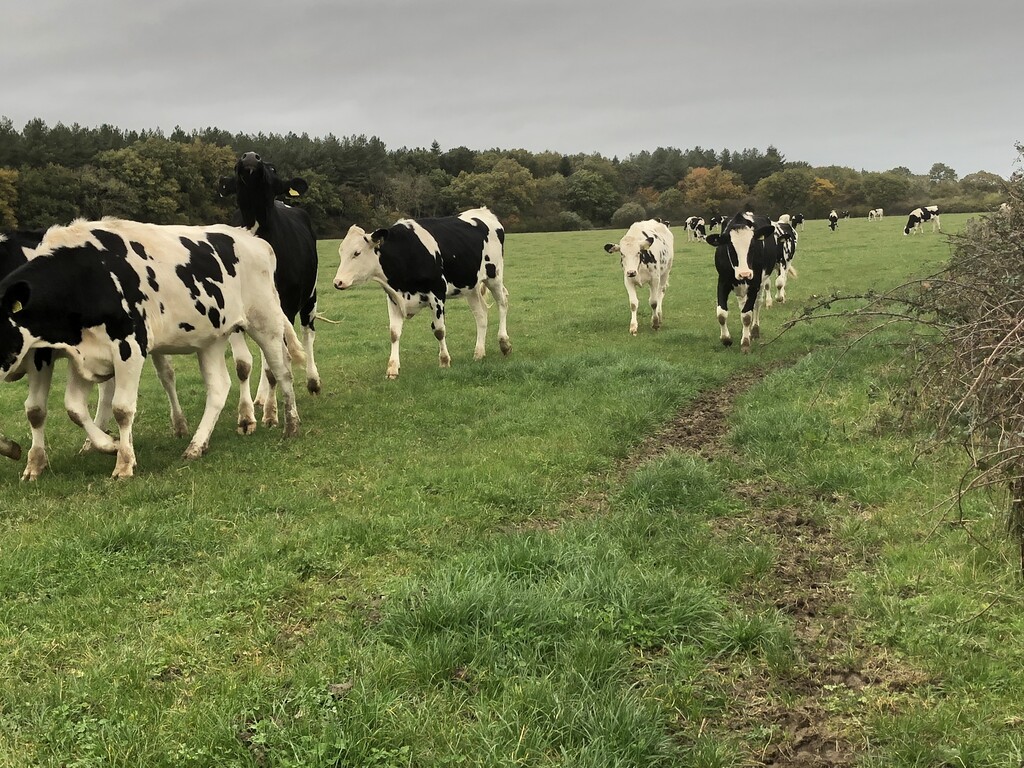
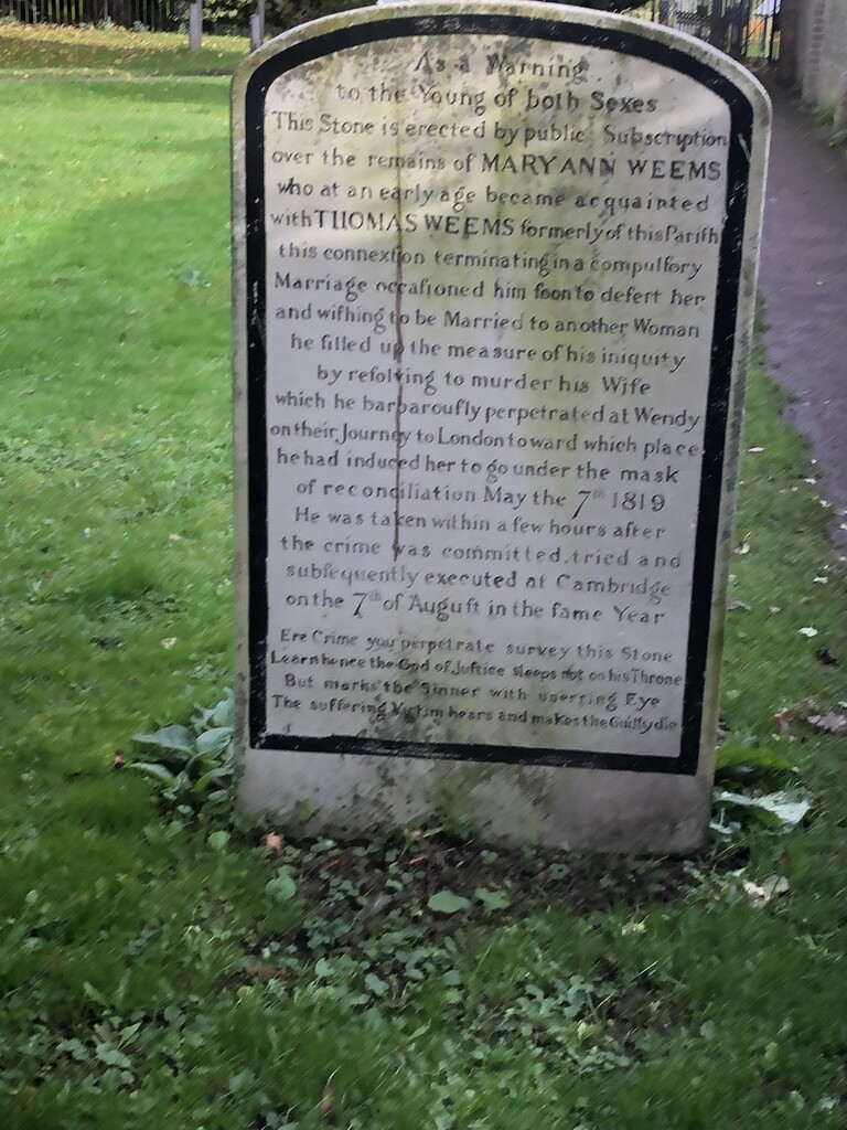
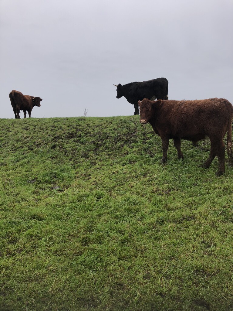
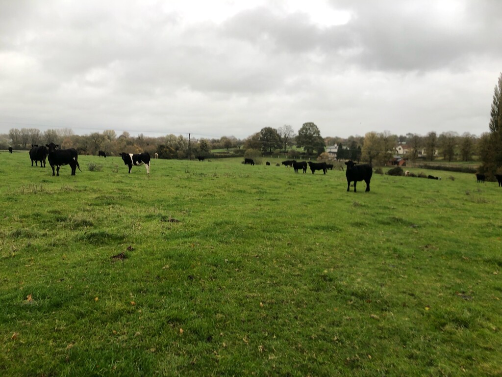
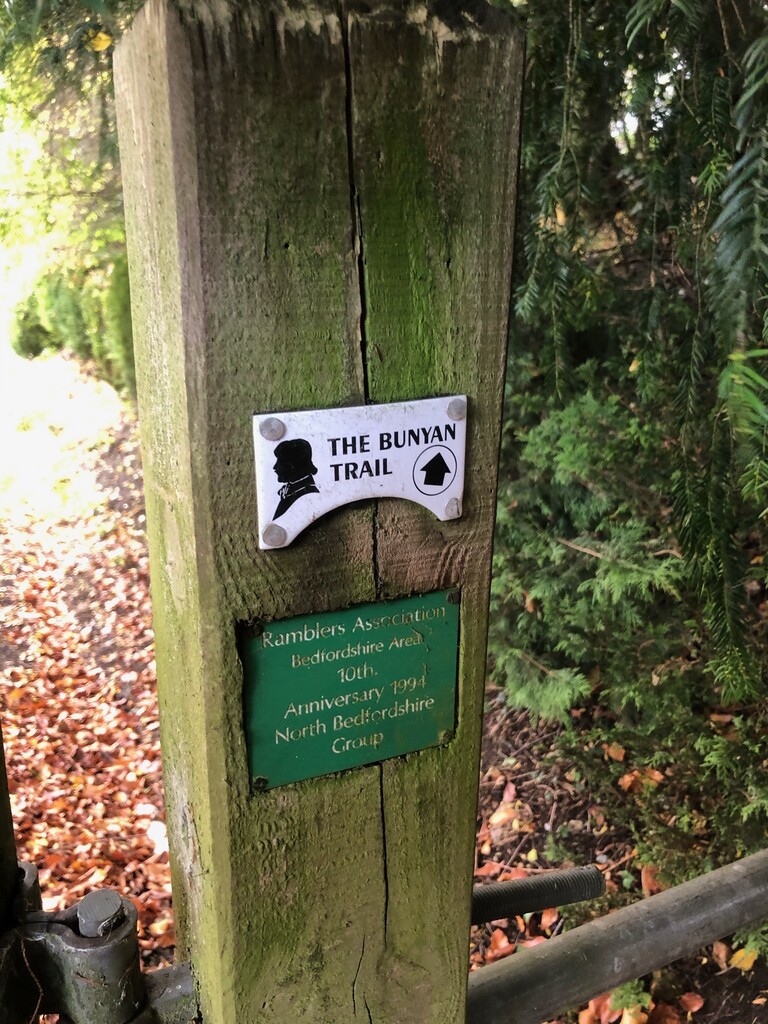
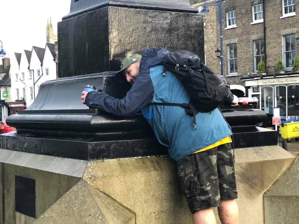
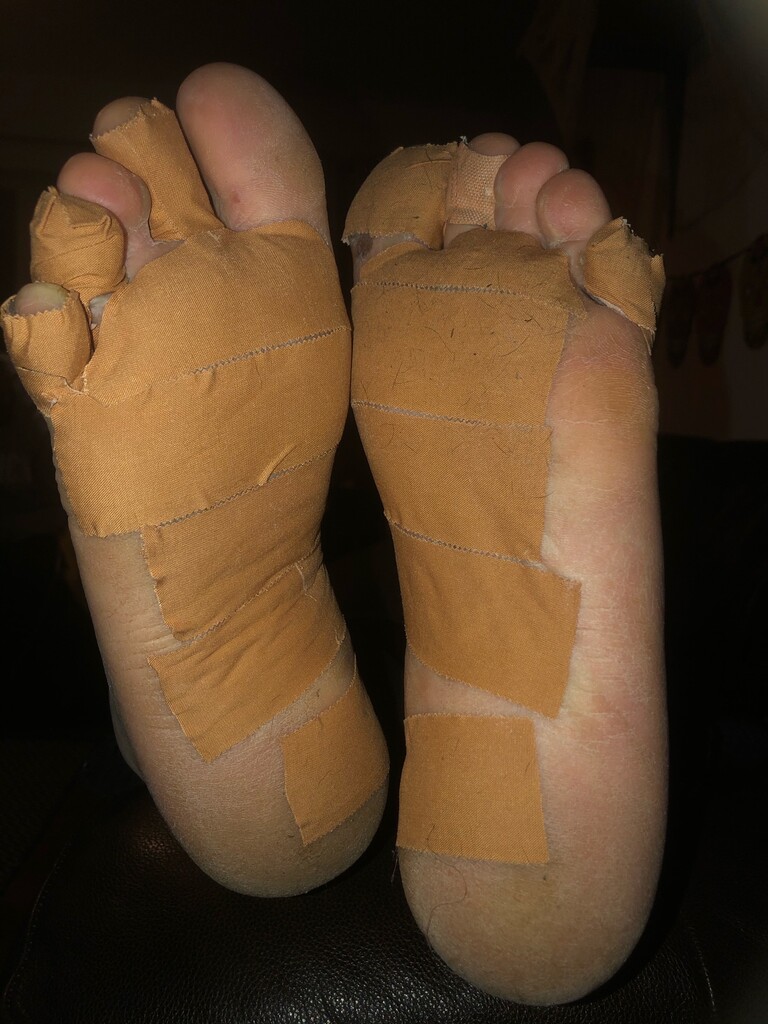
I originally intended to reach the outskirts of Bedford on day 3. I was excited when the OVW joined the John Bunyan Trail which leads through Bedford and which I assumed would be better maintained than the Ouse Valley Way. However, both trails passed very close to the Ouse just before the village of Stevington, as well-grazed meadows for some exotic cattle. Here an innocuous muddy patch that turned into a full-blown swamp. With no possibility of diverting around it, I was forced to crawl through about 50 metres of the swamp on my hands and knees, prematurely ending my day at the nearby village.
Stage 4: Stevington to St Neots
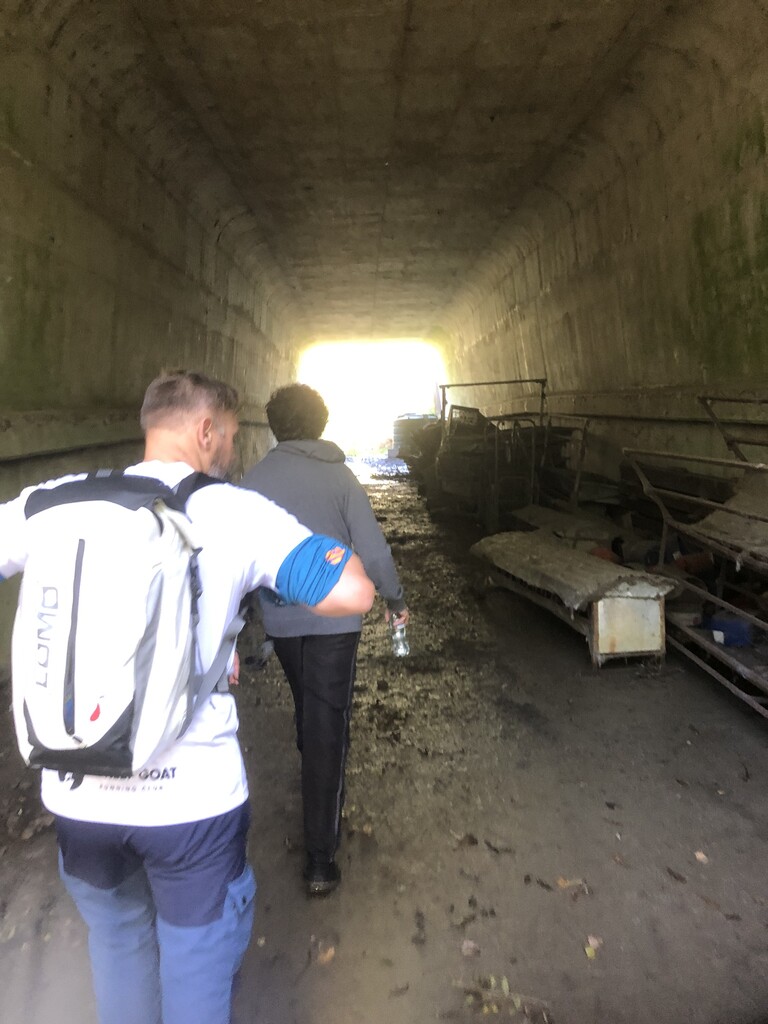
The trail rejoins the Ouse at Great Denham country park (in the middle of a vast new housing development). It sticks with it all the way into and through a surprisingly beautiful Bedford on a well-maintained embankment path. The OVW takes a brief grassy detour for a lap of the lake at Priory Park at the far end of Bedford. Soon afterwards the trail crosses the busy A421 on a road bridge, before descending on another charming section that runs along a disused railway and through Danish Camp (the site of an ancient Viking camp).
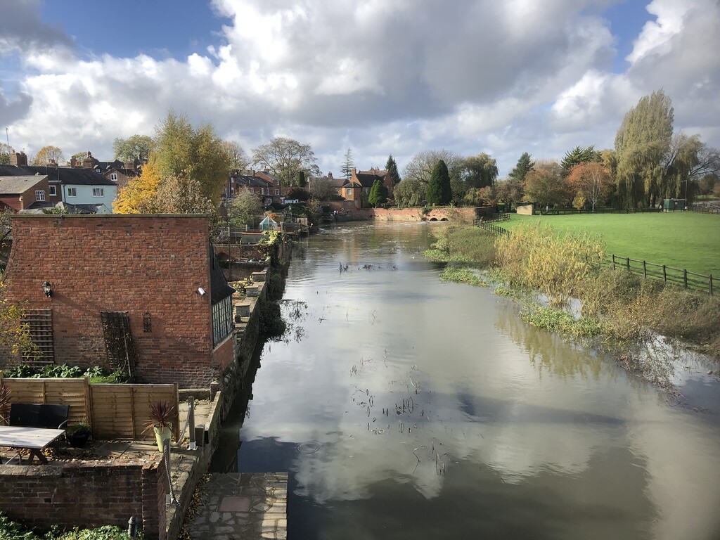
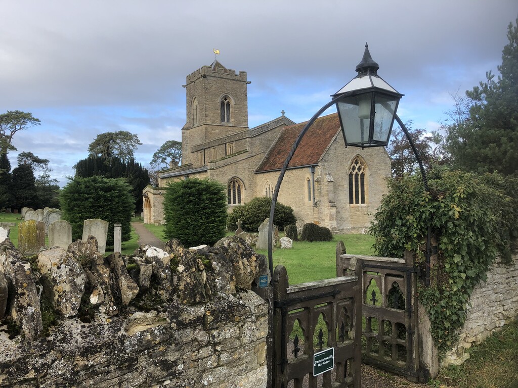
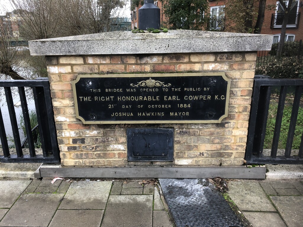
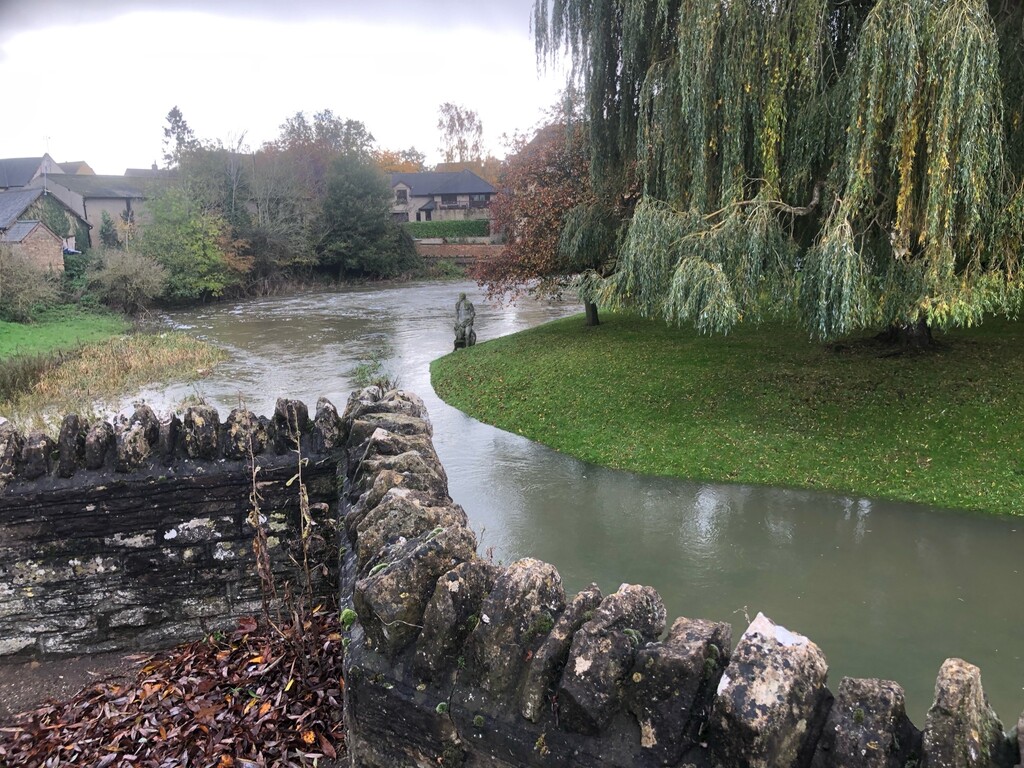
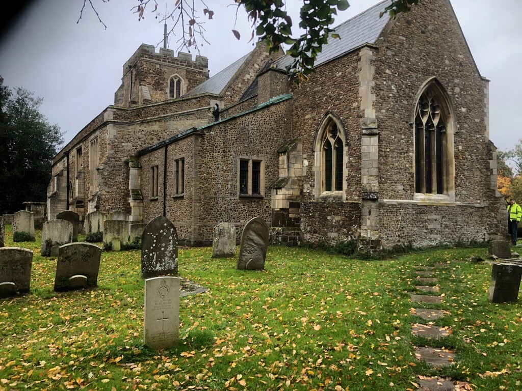
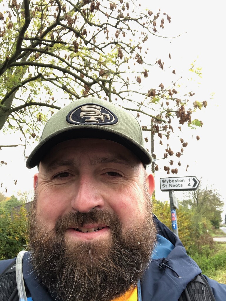
The trail then departs the footpath and follows a muddy footpath close to Great Barford (which has a pub, a bridge and an imposing church). After a brief diversion onto the road back onto a riverbank trail through Tempsford, before finally exiting in a charming churchyard in Roxton. After the OVW crosses crossing the A421 once again, the trail passes through Wyboston. It eventually emerges as a footpath next to the busy and intimidating A1 in one of the least pleasant sections of the whole journey. The OVW then passes into the outskirts of St Neots past some medieval coaching inns in the suburb of Eaton Socon. It then rejoins the Ouse once again at the River Mill pub along a beautiful section into the middle of St Neots, which is my home town.
Stage 5: St Neots to Holywell
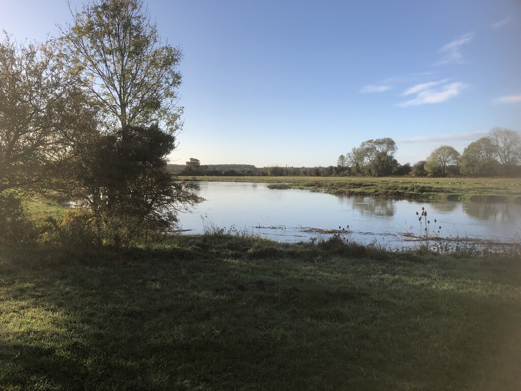
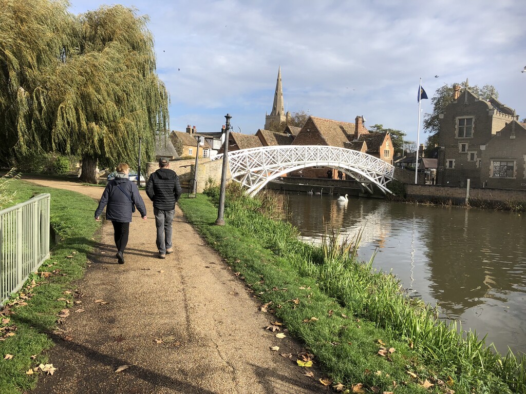
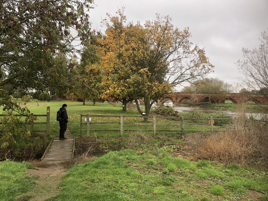
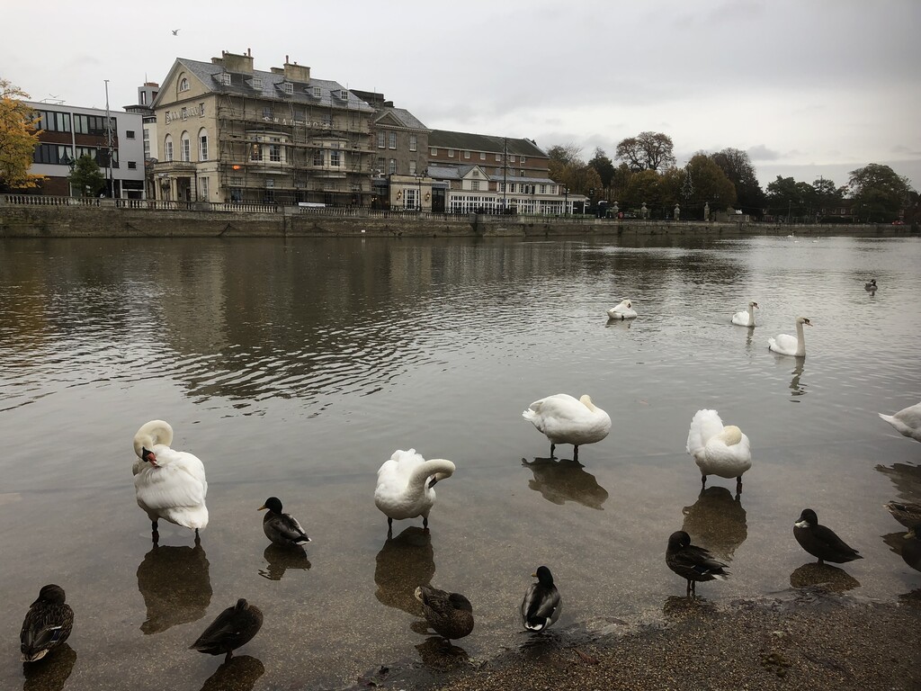
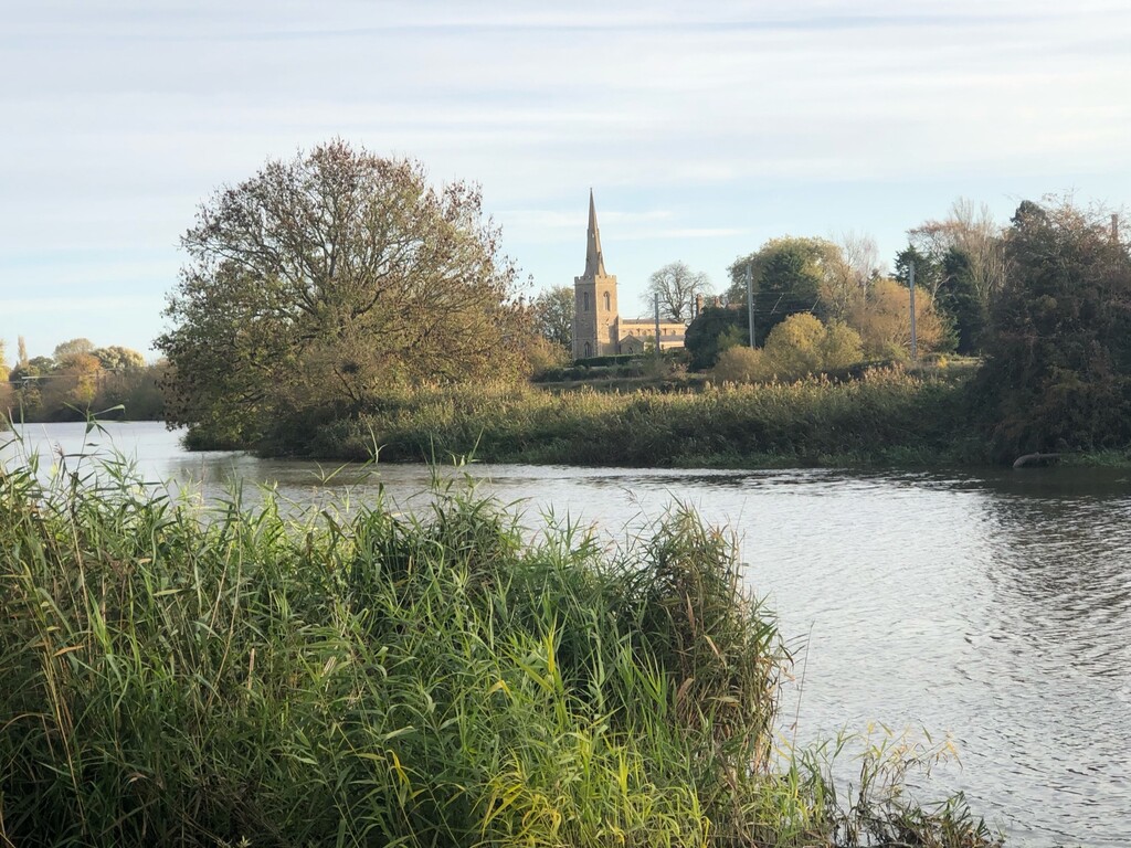
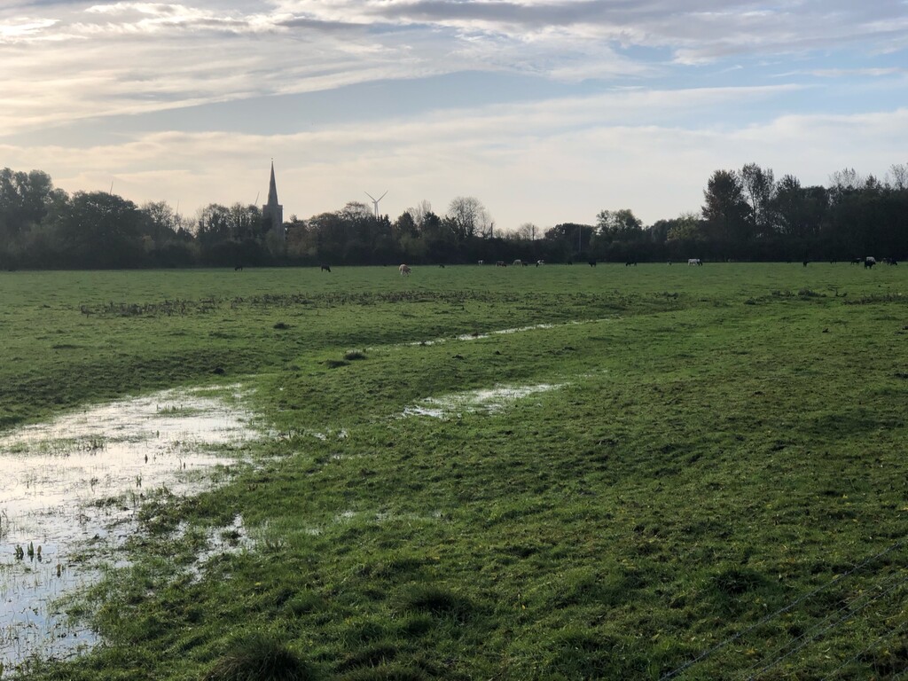
The section of the OVW downstream of St Neots is the first section that was opened and in almost every way the most beautiful of the whole river (I feel qualified to say this). The OVW passes through some ancient grazing meadows (which were flooded when we walked, and which we had to take a minor diversion around) before passing into Little Paxton. It then passes through the beautiful Paxton Pits nature reserve, before becoming a small muddy trail (often overgrown with nettles) that hugs the rive. Eventually, it reaches the Roman town of Godmanchester (with a brief diversion around Buckden Marina). Whereas the Ouse had seen angry and swollen on previous days, the river through Huntingdonshire is broad, calm and majestic. This is the Ouse as its Greatest (as it beyond this section it loses its natural charm and becomes an engineered drainage channel) and I highly recommend this section. The paths were muddy and slippery, and often cambered towards the river. We also had to negotiate several fallen trees.
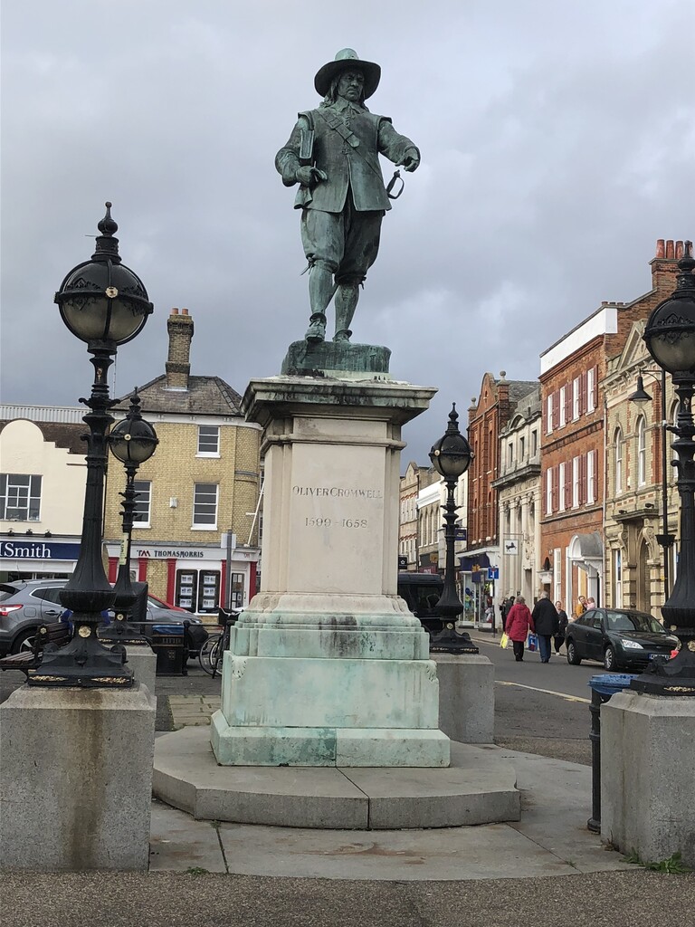
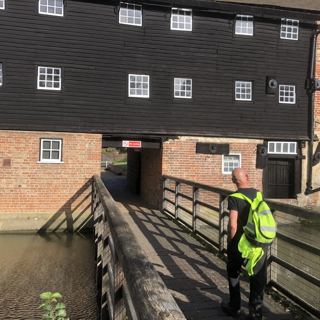
After Godmanchester, the path follows the lovely Thickett Path to St Ives, via the beautiful Houghton Mill. St Ives is a charming market town, replete with statues of Oliver Cromwell. From here, the OVW follows a busy road that leads to a refuse site. A few miles further on we reached the Ferry Boat Inn pub in Holywell (which was the site of a Holy Well and a ferry) and called it a day.
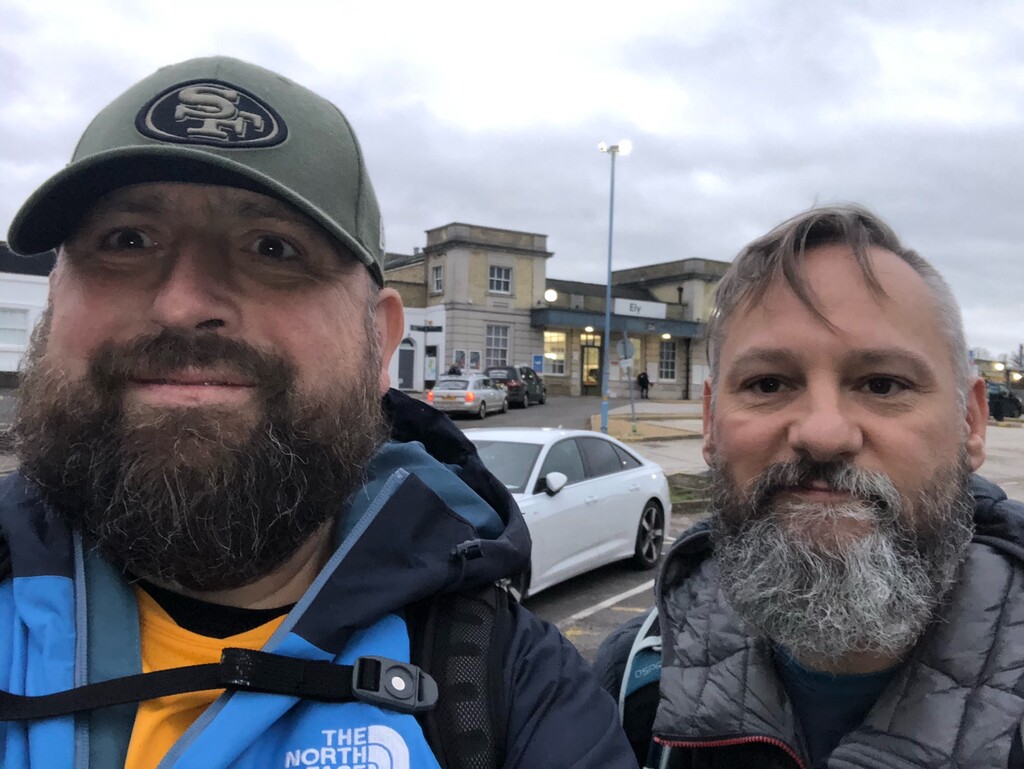
Stage 6: Holywell to Ely
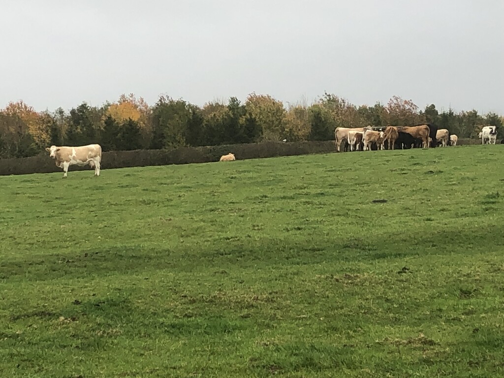
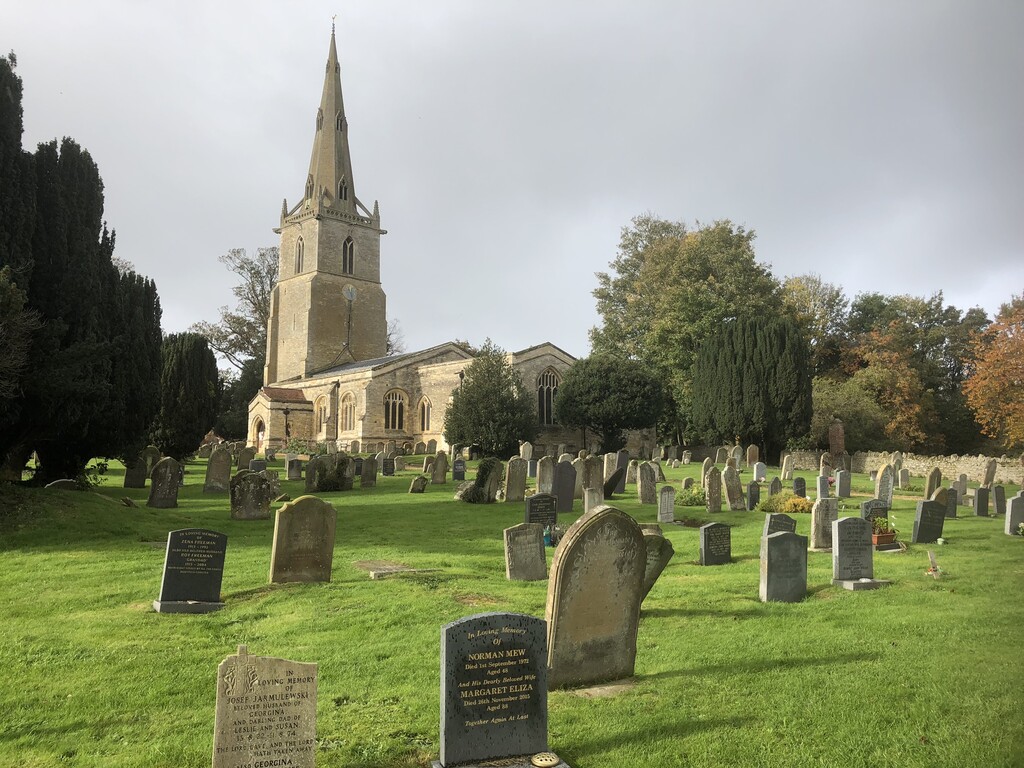
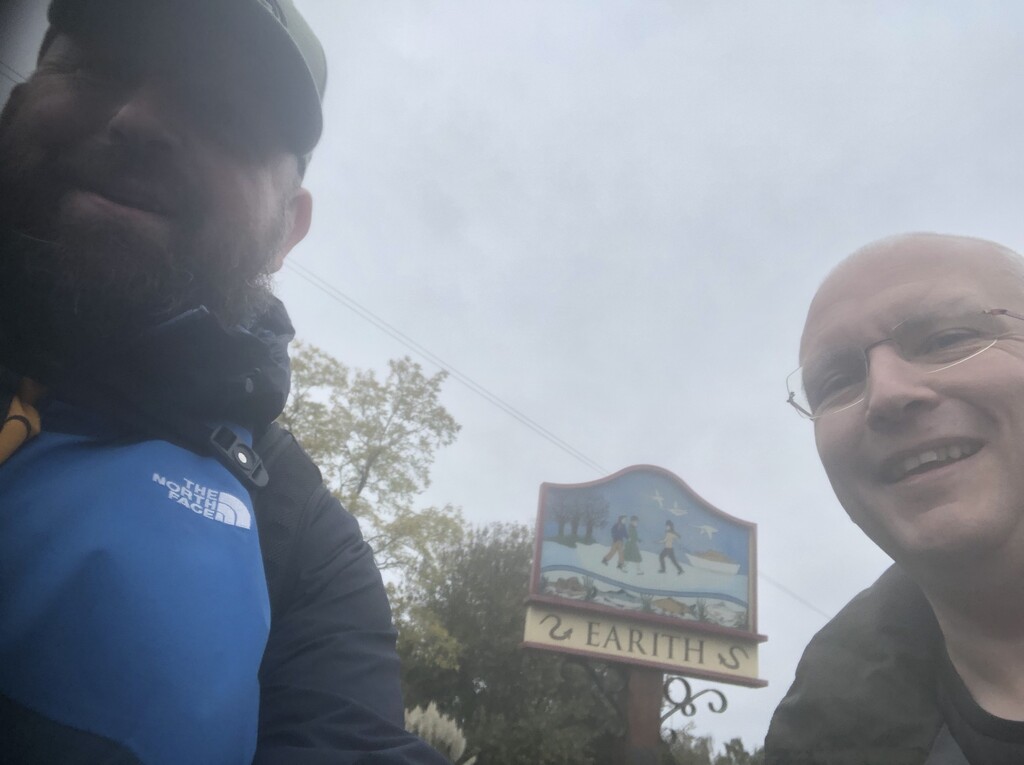
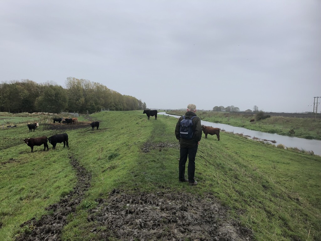
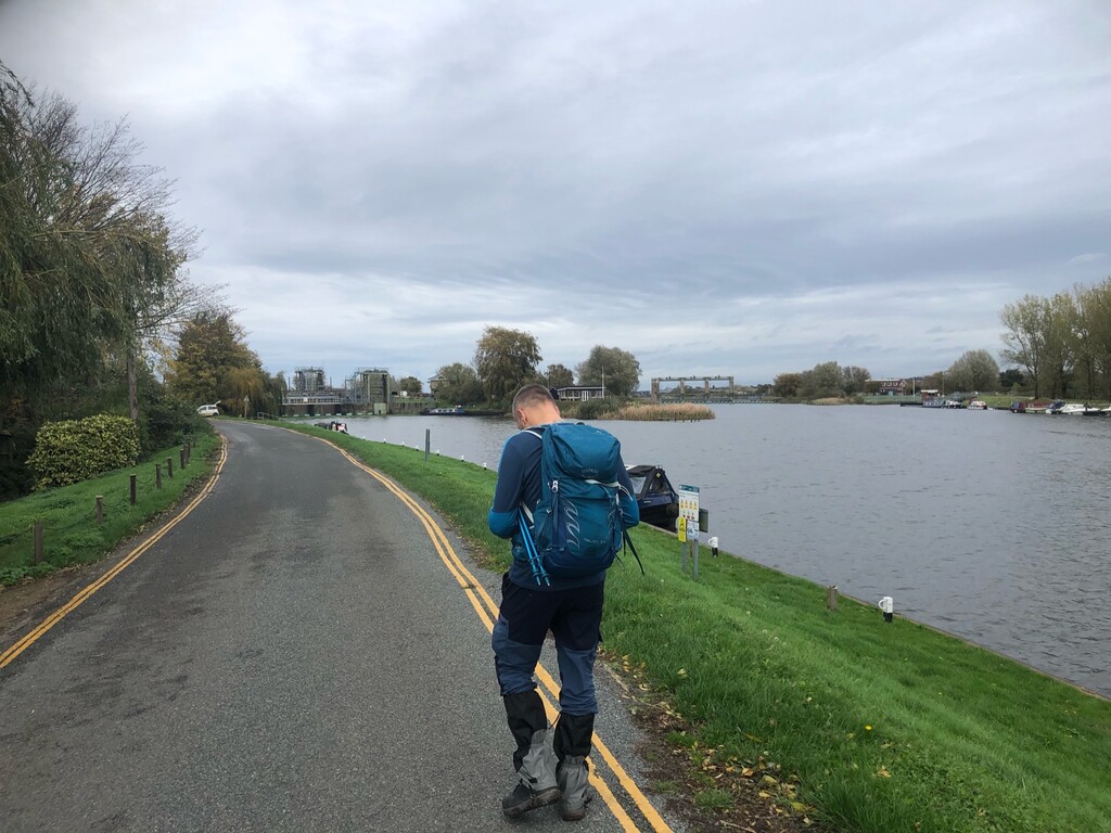
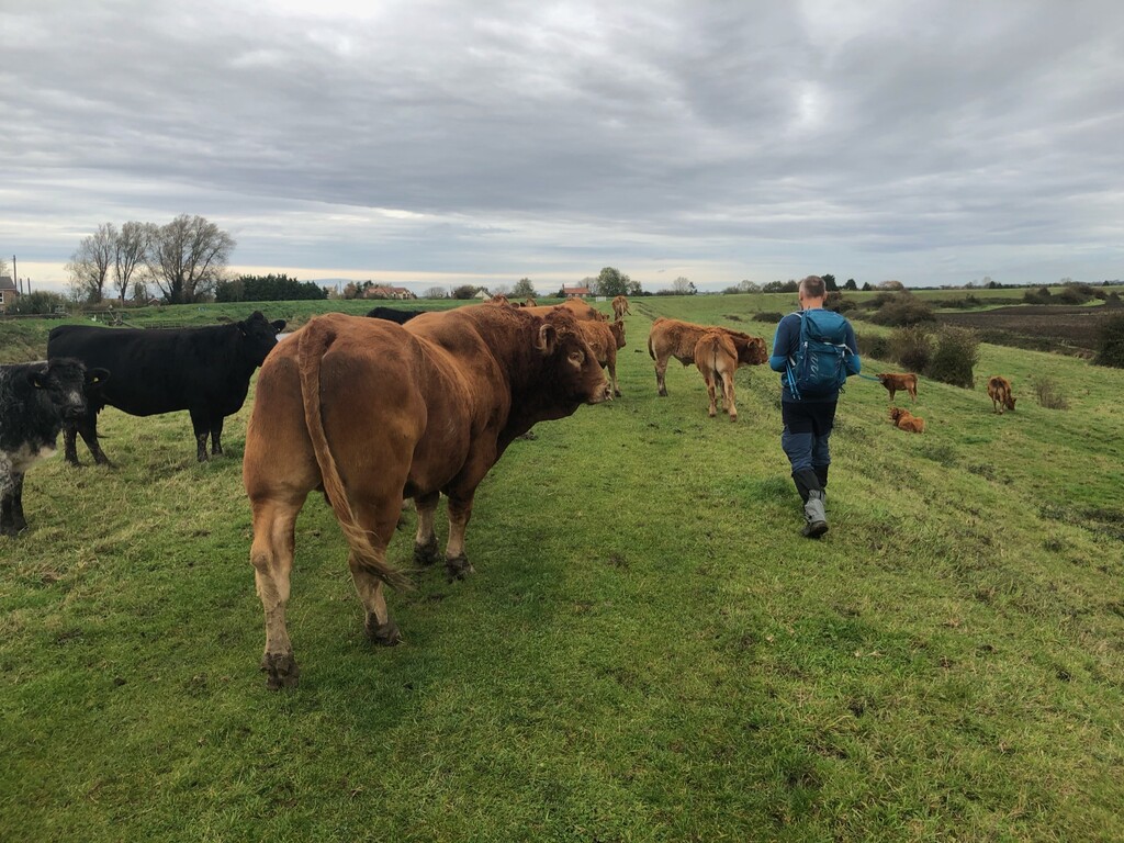
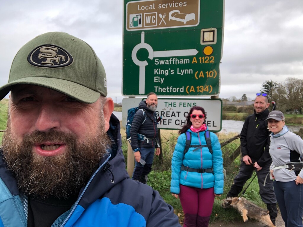
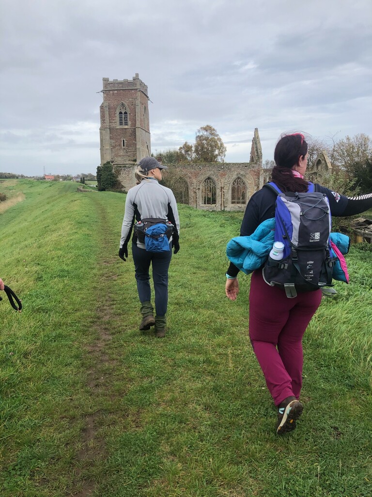
From Holywell, one follows the river for a short distance before climbing the side of a raised flood bank, which is where it stays for the vast majority of the remaining 60 or so miles into Kings Lynn. A few miles downstream in Earith the river splits into three, the Ouse and two engineered drainage rivers constructed to control flooding in the Fens from the 1600s onwards. This was a difficult day, walking on top of exposed muddy flood banks in the wind and rain through the bleak Fens. There is little to distract one's eye (apart from the slowing growing spectre of Ely Cathedral), and progress seems very slow. At one stage, we were confronted by a live electric fence, a field full of angry-looking bulls, and a locked exit gate. This is a clear indication that this section is rarely walked.
This stage needed some care because road access to the OVW through the Fens is limited, and you are often many miles away from an extraction point. We finished the day at Ely station.
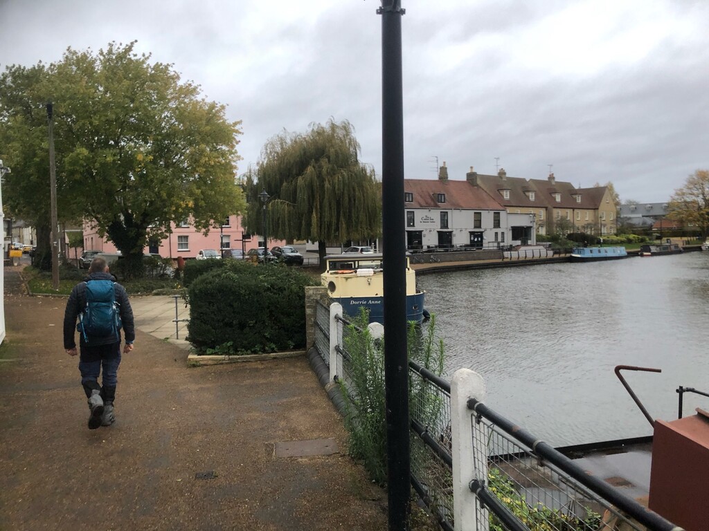
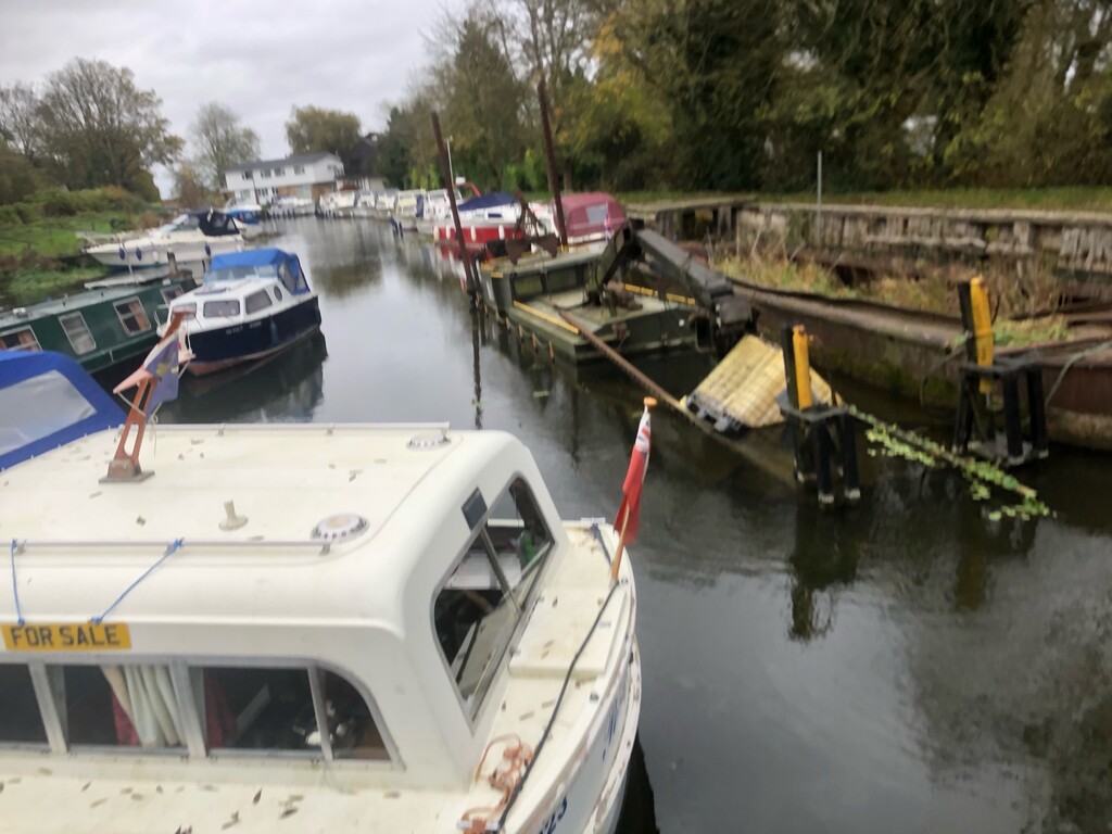
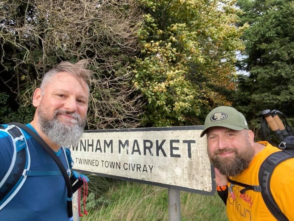
Stage 7: Ely to Downham Market
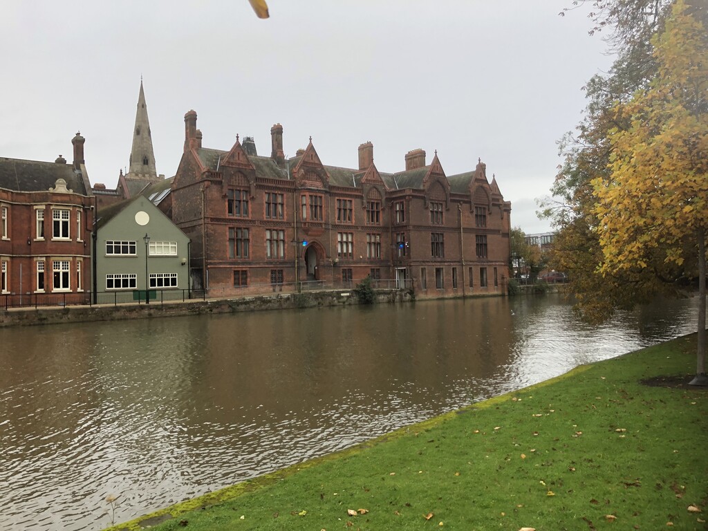
The walkthrough Ely was delightful, although you don't get a good look at the cathedral which is at the top of a hill and not close to the OVW. This was a repeat of the previous day, although with better weather, spent atop the river banks alongside the River Great Ouse through the bleak and rather uninteresting Fens. Littleport provided a short distraction, especially as we trekked through the gardens of some charming waterfront properties. There was a particularly unattractive section that runs along an elevated grass verge at the on the side of the A10.
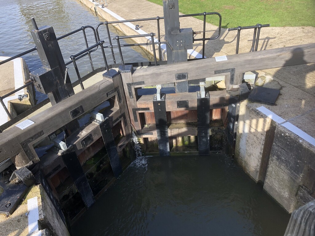
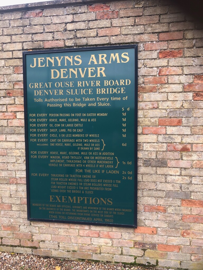
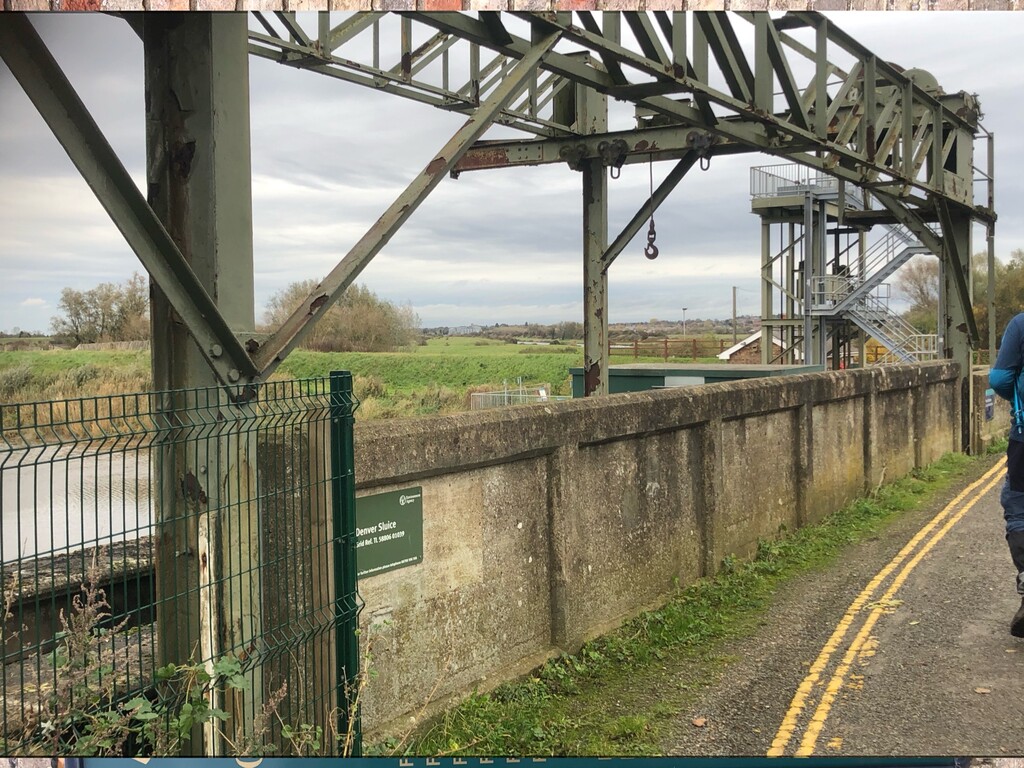
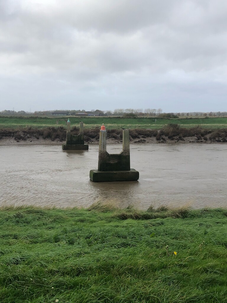
Towards the end of this stage, we passed the impressive structures of the Denver sluices (which mark the rejoining of the rivers that separated at Earith). Shortly beyond that, we entered Downham Market. With nearly an hour to wait before a train to Ely, we tried to jump in a taxi but were informed that they didn't go all the way to Ely. It's nice to have outwalked the range of local taxi drivers.
Stage 8: Downham Market to Kings Lynn
With 140 miles complete, this just left 12 miles into the Kings Lynn and the finish. But with tired feet and an exhausted mind, this seemed like the longest 12-mile walk of my life. Once again, we spent nearly the whole journey on top of an elevated flood bank, between the Ouse proper and the relief channel that separated at Denver. As we were in a channel between two rivers, there was thankfully fewer grazing cows to mash up the path, and the going was mostly good.
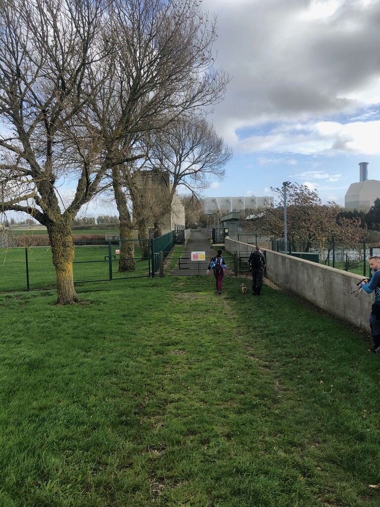
Highlights of this stage were a ruined church and the impressive modern Tail Sluice (at which the relief channel rejoins the Ouse) that shouts automated warnings to pedestrians that cross it. From here Kings Lynn appears quickly, and I finished my journey at the quayside.