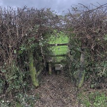
Route: Ouse Valley Way (United Kingdom)

Submitted by borofergie on Tue, 11/03/2020 - 04:57am
Location
United Kingdom
Distance
151 mi
Description

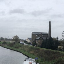
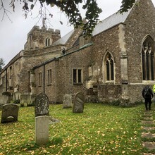
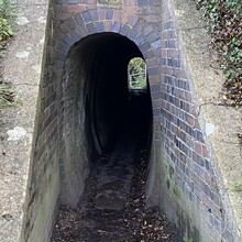
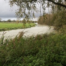
The Ouse Valley Way is an established 150-mile trail in England, following the River Great Ouse from its source near Syresham in Northamptonshire to its mouth in The Wash near King's Lynn. The path begins outside the King's Head pub in Syresham (52.0683°N 1.0807°W) and ends on the Green Quay in King's Lynn (52.7512°N 0.3935°E)

https://www.ldwa.org.uk/ldp/members/show_path.php?path_name=Ouse+Valley+Way

GPS Track