Athletes
Route variation
Standard route
Multi-sport
No
Gender category
Male
Style
Unsupported
Start date
Finish date
Total time
5h
13m
59s
GPS track(s)
activity_17336639485-2.gpx6.64 MB
Report
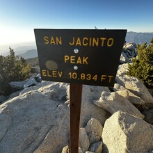
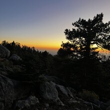
Started around 2 p.m. closer to where Josh Goldstein started near Deer Springs Trail parking lot/Point of Rocks Drive. Went counterclockwise through Idyllwild town, South Ridge Trailhead, Tahquitz Peak, Saddle Junction, Wellman Divide, Mt. San Jacinto, Little Round Valley, PCT trail junction, Strawberry Junction campground, and Deer Springs Trailhead. Total time came to 5 hours, 13 minutes, 59 seconds, 6943 feet elevation gain and 23.16 miles. Followed his GPX and a trail map and slightly lower mileage appears to be due to more direct route at Mt San Jacinto peak and few other areas. Ran last 4 miles in dark with phone flashlight due to early sunset. Thanks Josh for the trail.

