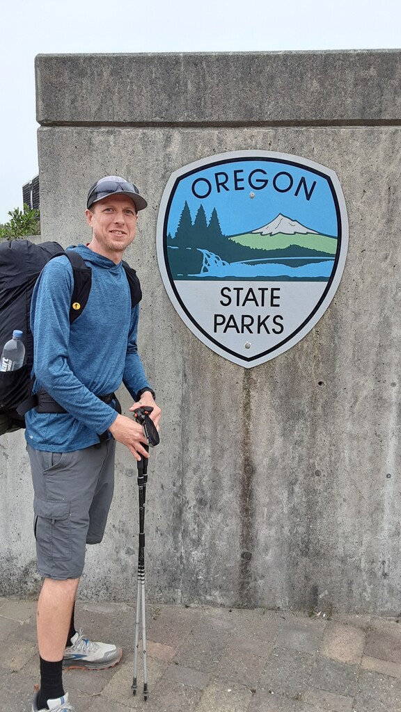
In 2021, when I first decided to go for this FKT, I became extremely discouraged when I discovered how much of the route was missed during the current times, 22.5% for the men's self-supported due to taking alternates to avoid obstacles. To compete, I felt forced to do the same. But rather than go to great lengths (90 miles out of a 400-mile trail), I eventually decided to stick to the route and face these obstacles. After a successful journey, I requested a new page be made for the Oregon Coast Trail, one that clearly states the expectations for this route, because to my surprise, no one on the original FKT page had completed this route - unless you consider doing 77.5% of it a completion.
Official trail tread percentages for the Oregon Coast Trail are 39% beach, 20% trail, and 41% road. However, if following the precedent of taking alternates (which are listed in the description to this route), the trail tread percentages become 61% road, 15% trail, and only 24% beach. That's 21.1 miles of trail tread and 56.7 miles of beach travel missed in favor of roads. Are these alternates necessary?
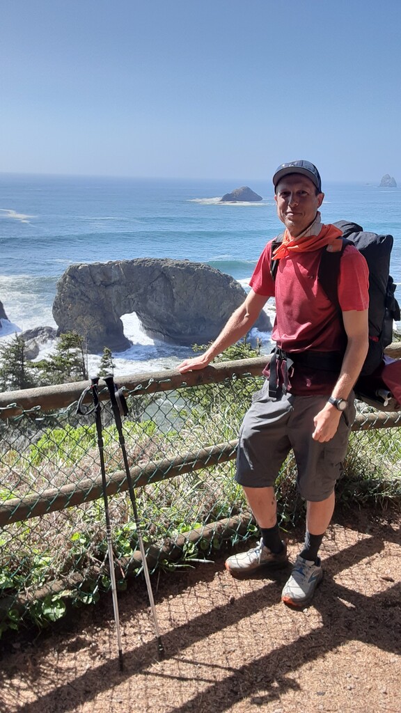
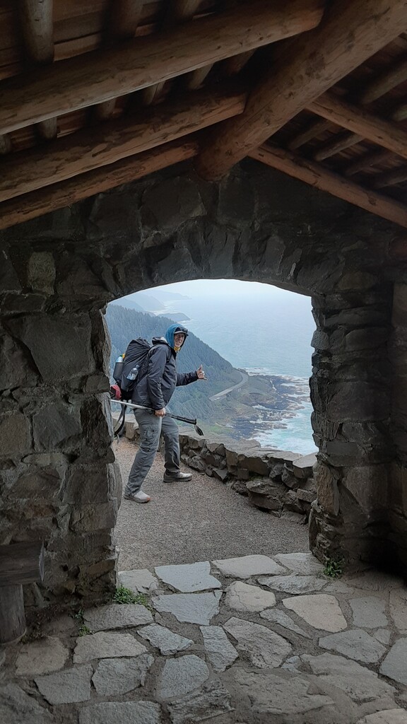
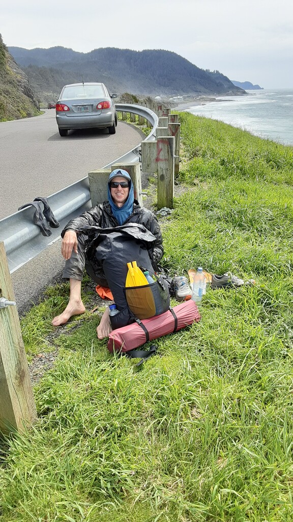
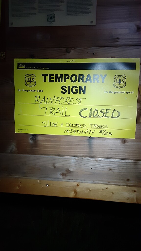
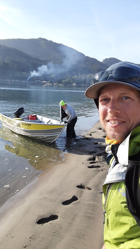
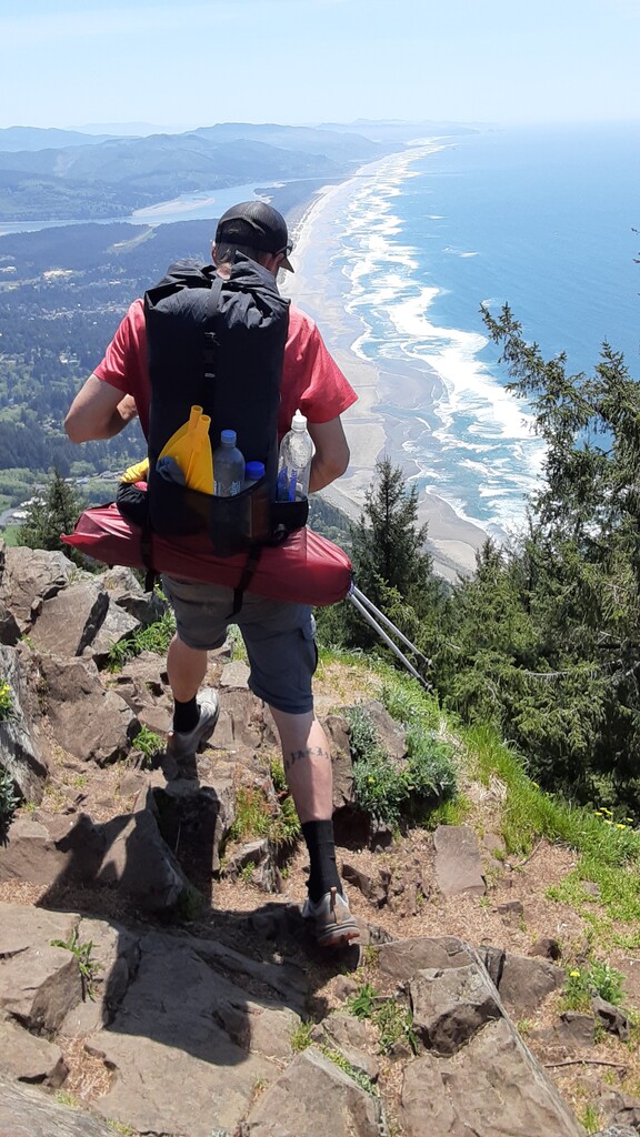
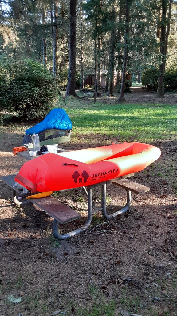
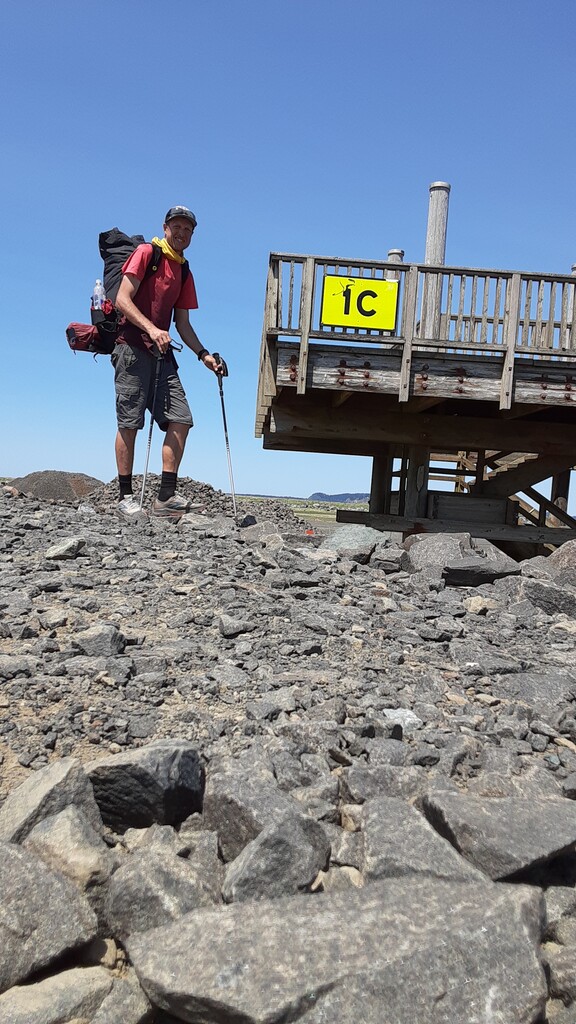
During my journey, I carried a packraft which I used 7 out of the 16 days. I paddled across the Umpqua River, and Tillamook Bay, but took the ferry at Jetty Fishery. Going into this effort, my plan was to use all 3 ferry services. I even postponed my starting day because I was told they'd be opening in May, however, Jetty Fishery was the only one open when I arrived. Thankfully, all crossings went smoothly, if not a little nerve wracking as I'm not the biggest fan of being on the water. I mainly brought the packraft for Sand Lake and the Elk, Sixes, New, and Tenmile River crossings - the main obstacles which sent previous FKT athletes running for higher ground - but ended up using it on a few smaller creeks as well, including Sutton. I also made it around the west side of all high tide points, reached all highpoints, cape heads, and lighthouses. Of course, there were times when I had to wait for the tide to be in my favor, but also times where I couldn't slow down if I wanted to keep it that way. Enroute, I encountered 2 signed trail closures, one for the trail segment over Cascade Head and another approaching the campground after Cape Lookout. Other than that, all route segments were attained.
For a more detailed day-by-day trip report with videos and tips for future OCT hikers, visit my Instagram page. For this FKT, I traveled northbound, starting at 5:26pm on April 29th and ending at 12:58pm on May 14th.