As described, the Oregon Coast Trail is 39% beach, 20% trail, and 41% road. The goal of this FKT recognition is to adhere to this ratio. To this end, this FKT does not recognize extensive bypasses that avoid portions of the route as it's described on the Oregon Coast Trail maps.
What sets this FKT apart from the original Oregon Coast Trail FKT?
The Oregon Coast Trail has 5 unique challenges that for the most part can be bypassed, or at the very least, can be diminished greatly if following alternates that are not listed on the OCT maps but have become precedent on the original Oregon Coast Trail FKT page. Admittedly, these alternates were taken to gain a faster time, an easier experience, or an advantage over the trail as it's described; however, although the end result may be similar in mileage, the ratio of coastline travel to road is dramatically altered in favor of more road, not to mention, many of the OCT's key features are skipped in the process. For anyone wanting to stick to the trail as it's described, you are starting at a disadvantage by this precedent of taking alternates and this should never be the case for an adventure as unique and challenging as the Oregon Coast Trail.
Key features or trail junctions that must be tagged on this FKT include:
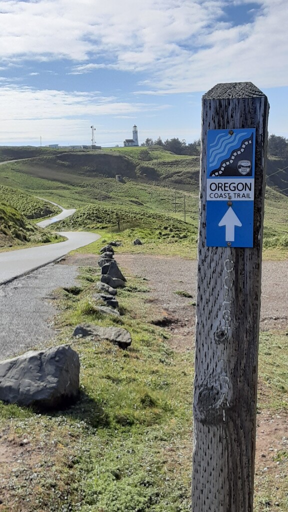
1. LIGHTHOUSES
- Cape Meares
- Heceta Head
- Cape Blanco
2. HIGHPOINTS & VIEWPOINTS
- Cape Perpetua, the highest viewpoint accessible by car on the Oregon Coast.
- Neahkahnie Mountain, the highest point on the Oregon Coast and the OCT.
- Tillamook Head Hiker's Camp
- Cape Falcon
3. FERRY CROSSINGS
To follow the OCT as described, there are 3 required ferry crossings, usually made by paid charter service. If a ferry is unavailable, or if you would like to keep your effort human powered and/or low budget, it is acceptable to cross by your own means. Additionally, alternates listed on the OCT maps to bypass ferry crossings by walking roads to a further point ahead are not accepted on this FKT. Ferry crossings include:
- Jetty Fishery Marina at Nehalem Bay
- Garibaldi Marina at Tillamook Bay
- Winchester Bay Charters at Winchester Bay.
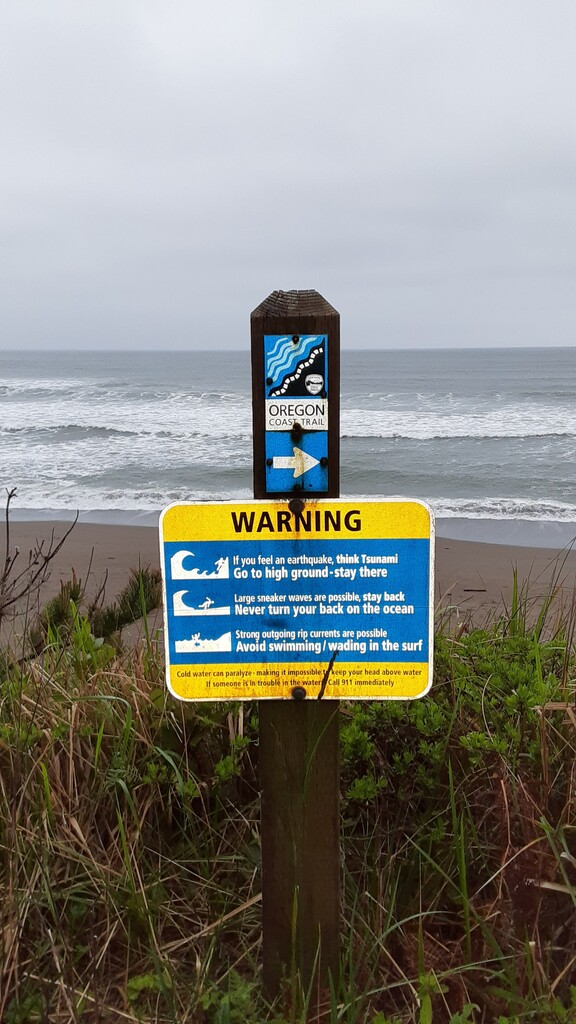
4. TIDE ALERTS & BYPASSES
Besides ferry bypasses, there are 2 other bypasses listed on the OCT maps for high tide, at Sand Lake and Fivemile Point. To honor those who face these challenges or who are willing to wait for low tide to arrive instead of taking a road around them for speed or convenience sake, these bypasses are not accepted on this FKT, nor are original alternates that avoid large sections of the OCT as it's described, such as taking Hwy 101 from Port Orford to Bandon, North Bend to Winchester, or Reedsport to Florence, doing a Cape Meares Cut-Off, or taking Hwy 101 through Oswald West State Park, especially since these alternates can be used in conjunction to drastically minimize coastline travel and other challenging aspects of this route. Minor deviations to access supplies and accommodations, avoid high tide or park closures, or to bypass a closed section of beach or trail are acceptable.
5. RIVER OUTLETS
As described, the OCT crosses over 100 creeks and rivers where they meet the ocean. While many of these outlets are crossed on bridges, some river and creek crossings will require additional skills or logistics to navigate. If an outlet is unsafe to cross by fording, swimming, rafting, or waiting for low tide it is acceptable to make your own alternate; however, you will need to regain the route on the far side of the outlet before continuing.
SUMMARY
In short, this FKT was established to preserve the spirit and challenge of the Oregon Coast Trail and to offer the purist OCT traveler a fair shot at its Fastest Known Time. Finally, an FKT you might have to slow down for.
This route can be completed in either direction. GPX tracks provided are not a substitute for the official Oregon Coast Trail maps.