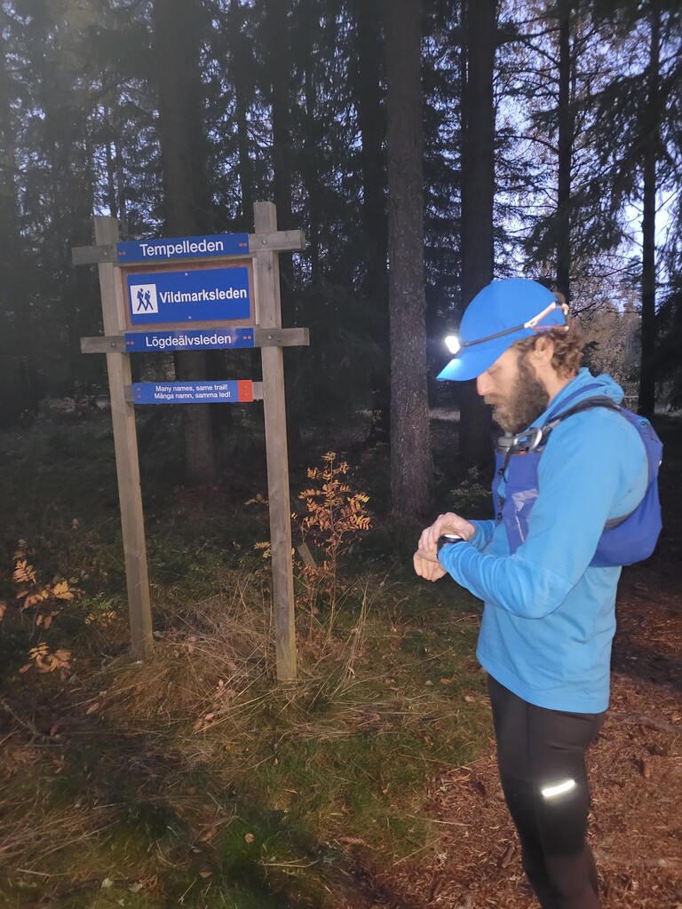
Started at 6:20 AM at the trailhead when it had just got light enough to run without headlamp. The first hours went smoothly, made only two minor wrong turns that I reversed without wasting too much time. Passed Klöse after 23 km at 2h28'. Between Nygård and Nordsjö the trail had been rerouted to the west side, which deviated from the official GPS-track, but was probably as pleasant as the original route.
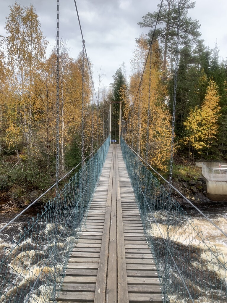
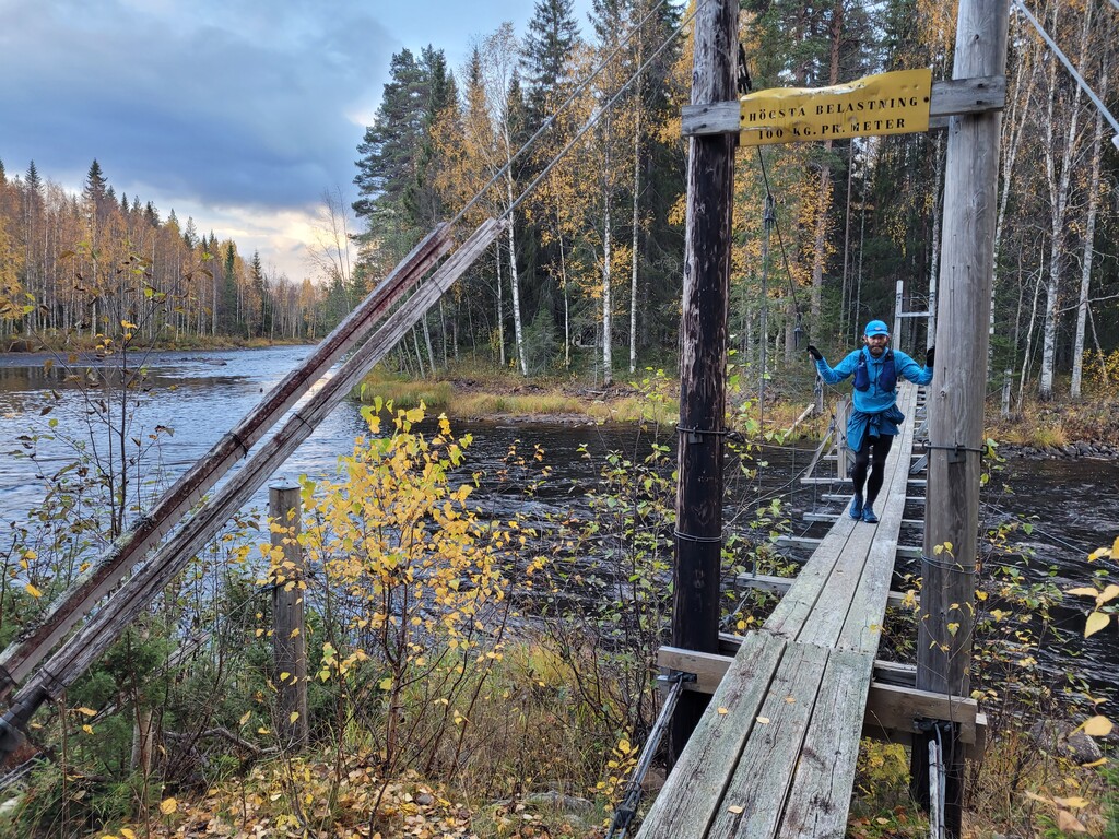
In Norrfors, after 48 km, we had agreed on a first aid point and I got a moment to refuel, continued on 4h30'. Had two more aid points on this part of the trail, Nedre Nyland at 67 km (7h55') and Lögdeälvsbron at 85 km (after 10h26'). The last part of Lögdeälvsleden between Lögdeälvsbron and Ormaggan were partly more demanding and had to slow the pace sometimes into walking, but was also considerable tired after almost 90 km of continuous trail, and did not want to sprain an ankle.
At Ormaggan (91 km, 11h15'), where Lögdeälvsleden ends and the beginning of a long stretch of gravel, I changed to a dry pair of shoes and was able to keep the tempo up considerably. Up until then, I had felt pretty stiff and tired in the legs, but this was actually the point I realised how taxing the technicality of the trail had been and that it was not some general tiredness that had kept me rather slow.
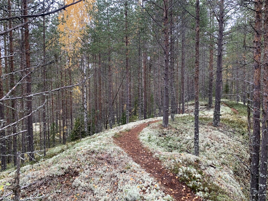
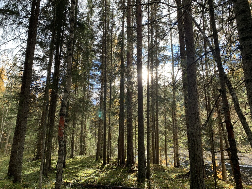
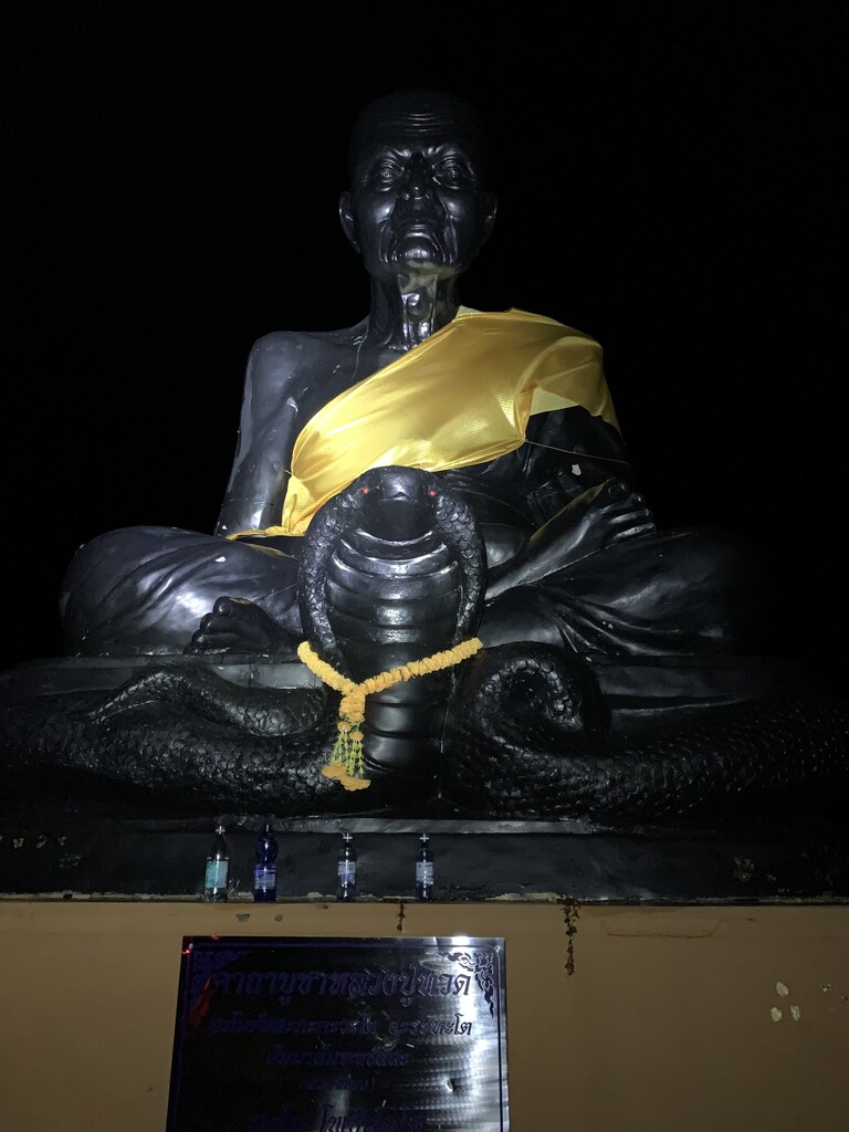
I was able to make some good splits until the path turned south and up a long and slow hill which I were only able to get up walking. At Lögdasund (105 km, 12h50'), I got my last resupply, went into night running mode and continued for the very mellow trail called Viskaterrängen from an old trail running competition (est 1949). Tempelleden follows the full distance (12 km) of this, and not the gravel road next to it, which the GPS-file indicated. The last kilometres were of course the longest but made it up to the temple hill after 14h53’.
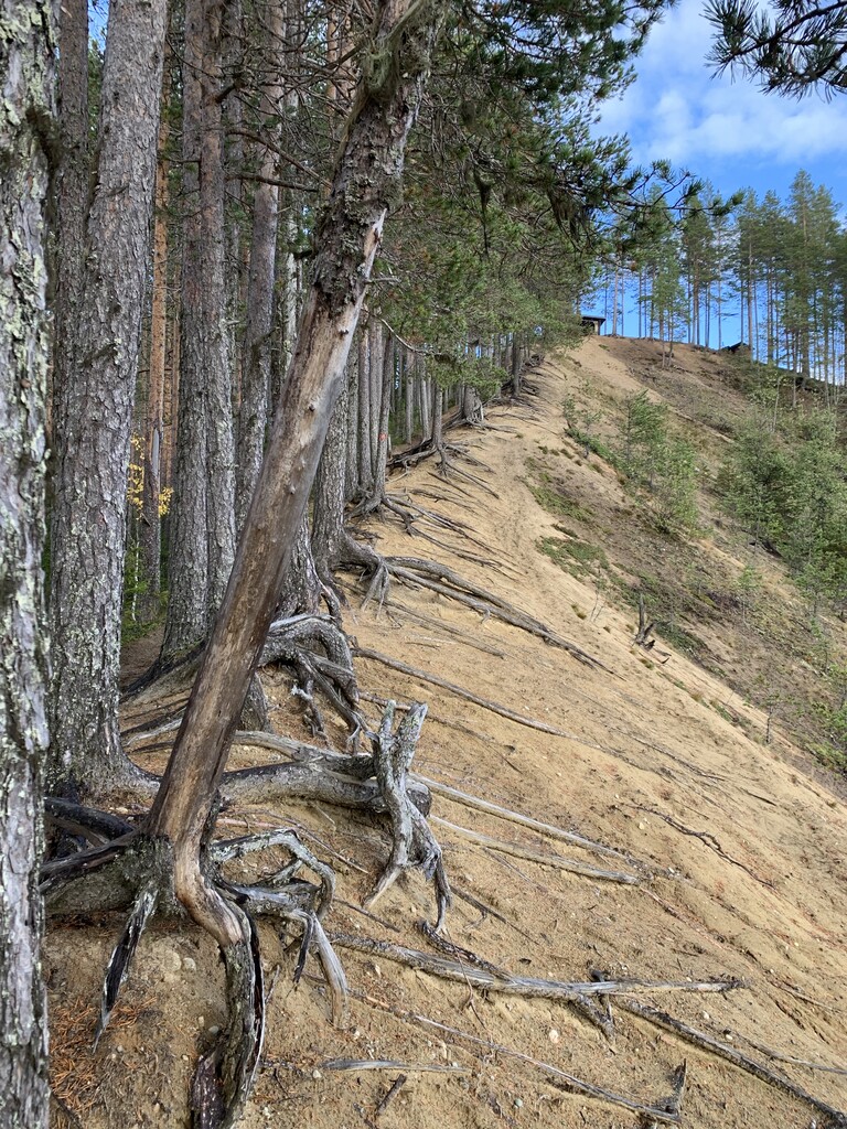
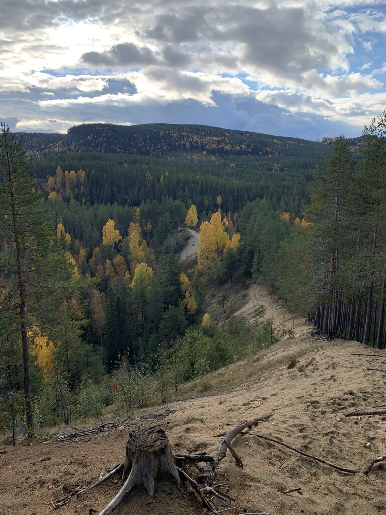
The whole run ended up being 121.9 km in total, slightly more than the officially stated distance. When passing Drakryggen, I continued the full height of the ridge to get the view which added some vertical. I also ran some short sections on paths up on the riverbanks at one or two occasions which also probably just added some more gain. This was partly due to misreading the topo/signs but it also felt more natural and inspiring. In general, the route finding is easy, but the signs are sporadic and sometimes faded/missing. Without the wrong turns and the added time up Drakryggen one could probably save 20-25 minutes going at the same pace as I did.
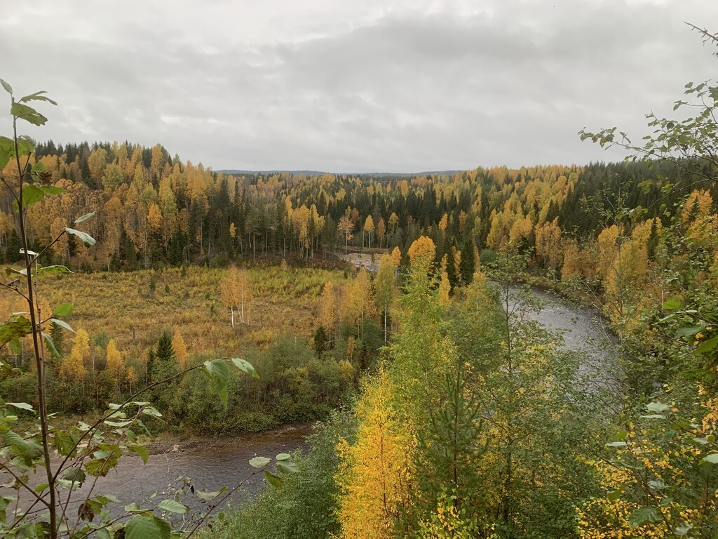
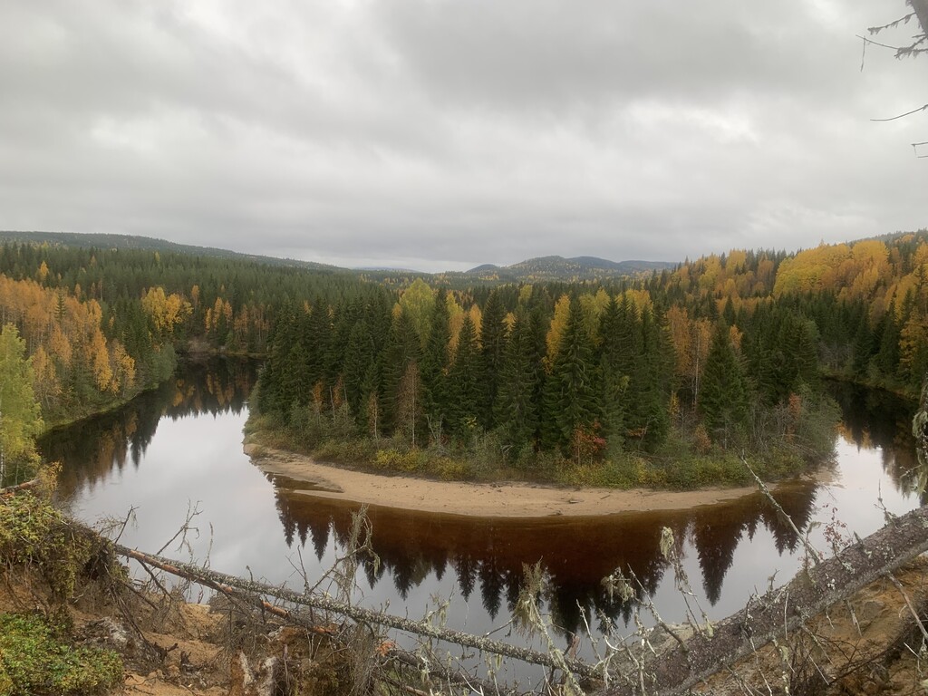
I encourage everyone to try out the whole or parts of this trail. Especially the first 90 km are excellent, and the trail hits a sweet spot between demanding and fun, running next to the river and up and down numerous steep river canyons. The 15 km or so of gravel road feels partly as a relief and the end of the trail at the Buddharama temple is perfect.
It would not have been possible for me to run this trail without the support of Rebecca and Monika Bronemo, who made the logistics possible and encouraged and aided me along the way.