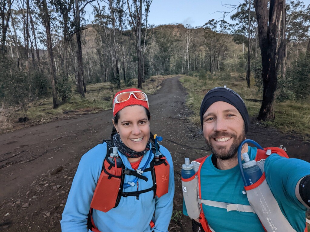
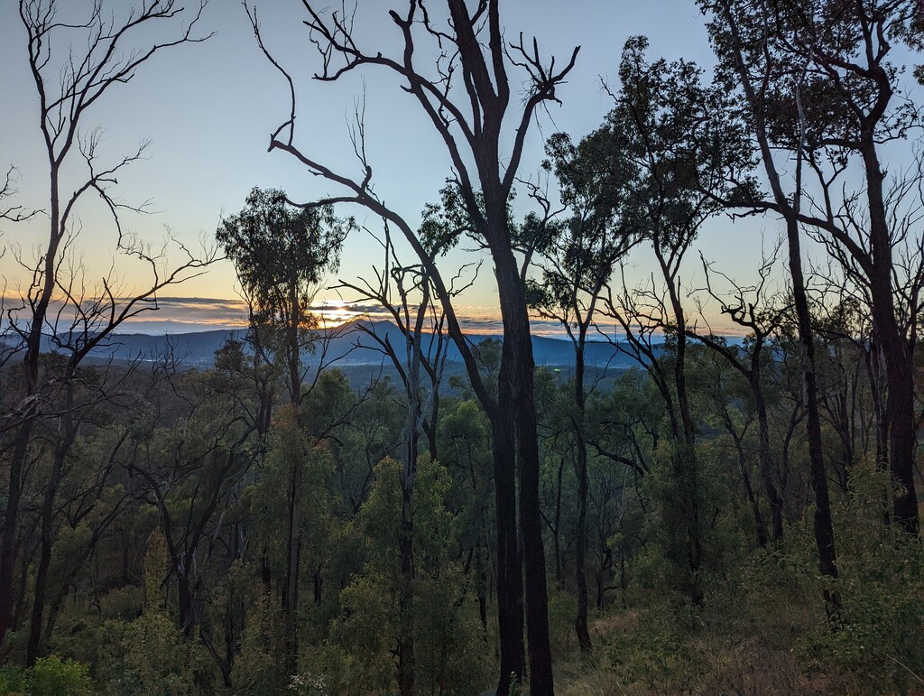
Don't do what we did – we failed to check our car nav was set to the right start point, and drove a significant part of the way to Cunningham's gap before noticing we were not headed in the direction of Thornton View. Whoops. We started a bit later than planned and saw the sunrise from the valley instead of the ridgeline. It was a pretty cold day out, so not the worst thing to head out when it was slightly warmer.
If you're arranging drop off and pick-up, we recommend a higher clearance AWD vehicle for the Thornton View section (especially after wet weather) and a 2WD is fine for the Cunningham's Gap end. Untreated water was available in the walkers camps along the trail (we skipped the first one) and it tasted good. We carried our own snacks, which is basically the only option, as there are no shops anywhere along the way for self-support. (There is dirt road access near the Mount Castle Lookout for those doing a supported FKT.)
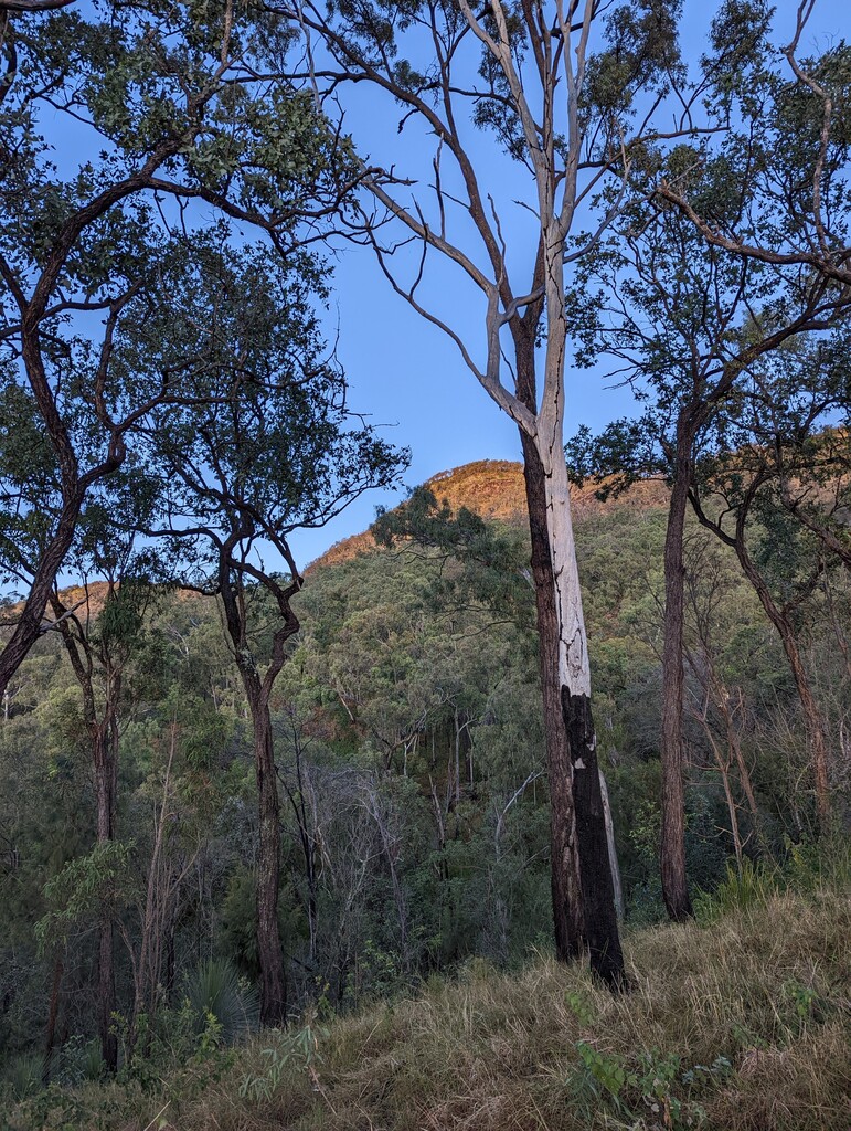
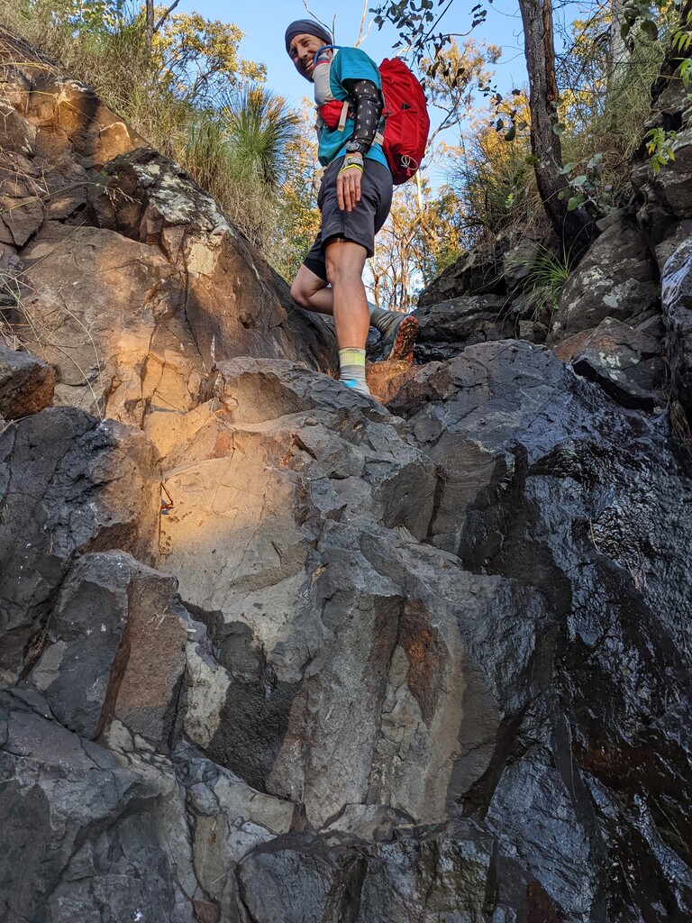
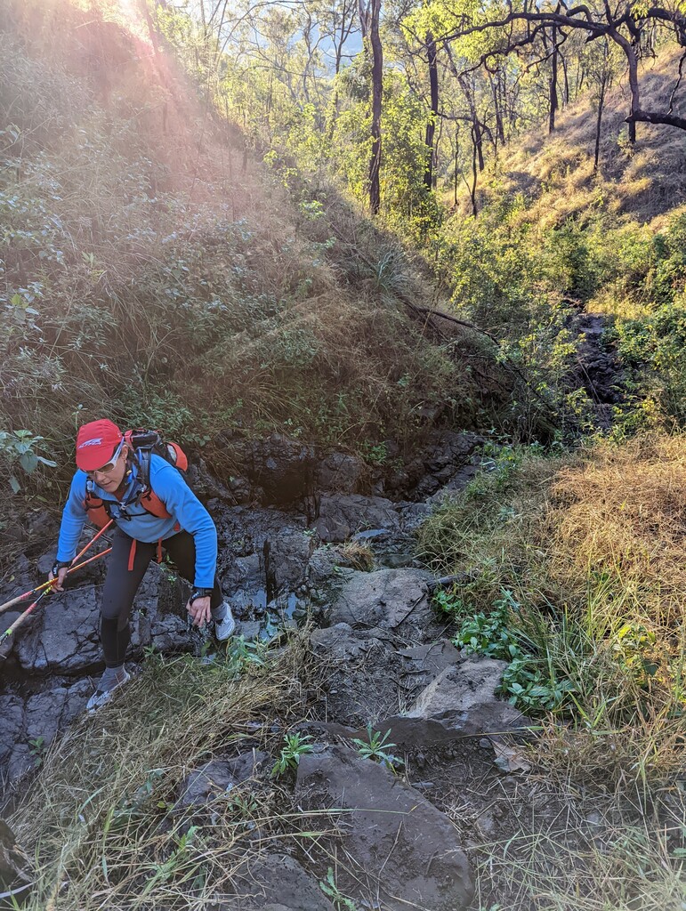
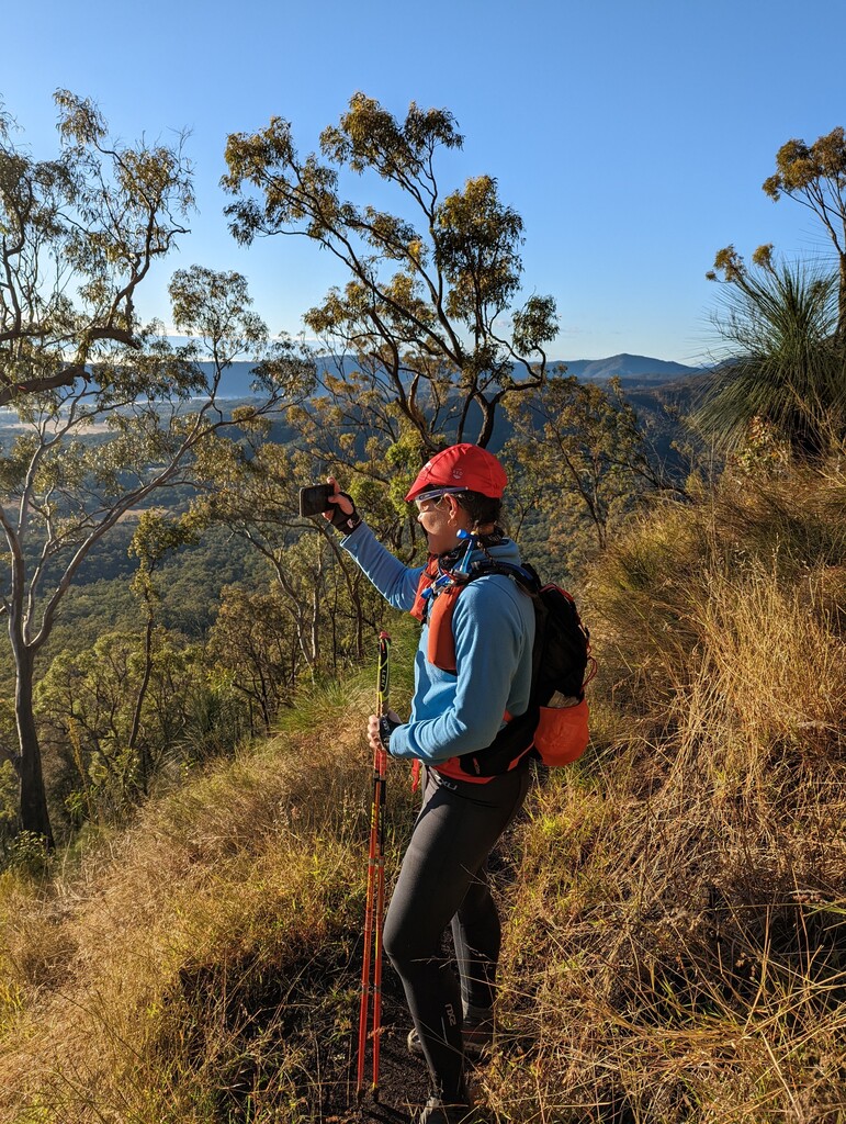
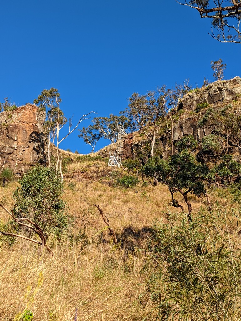
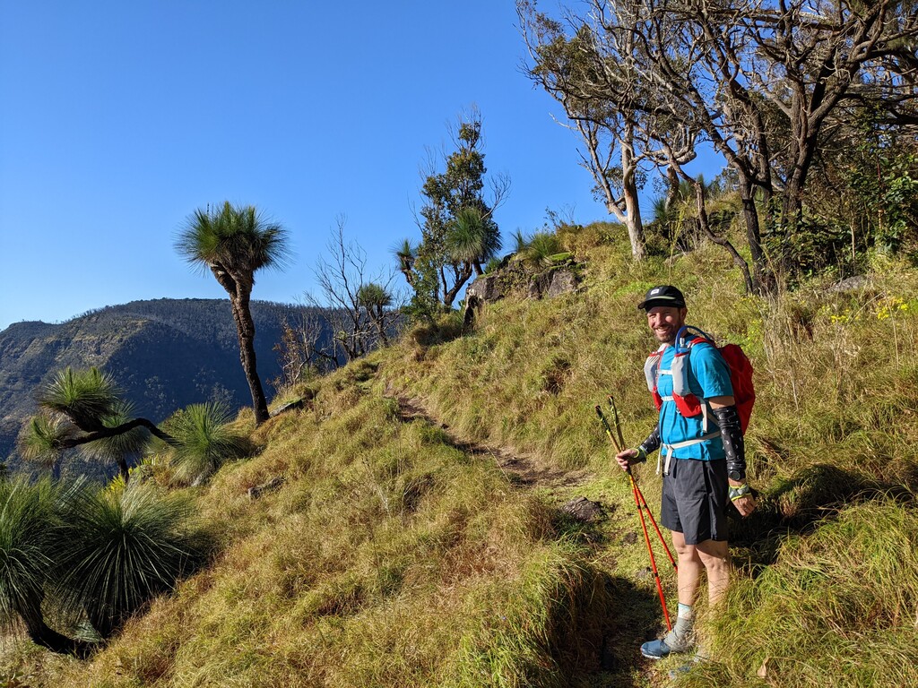
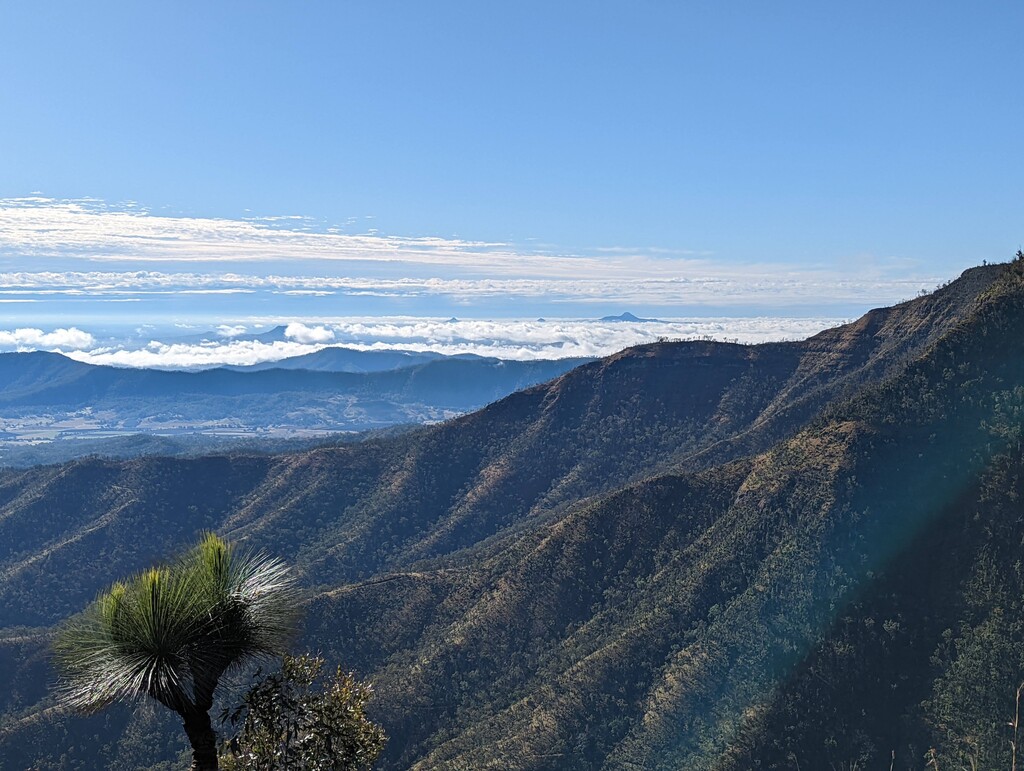
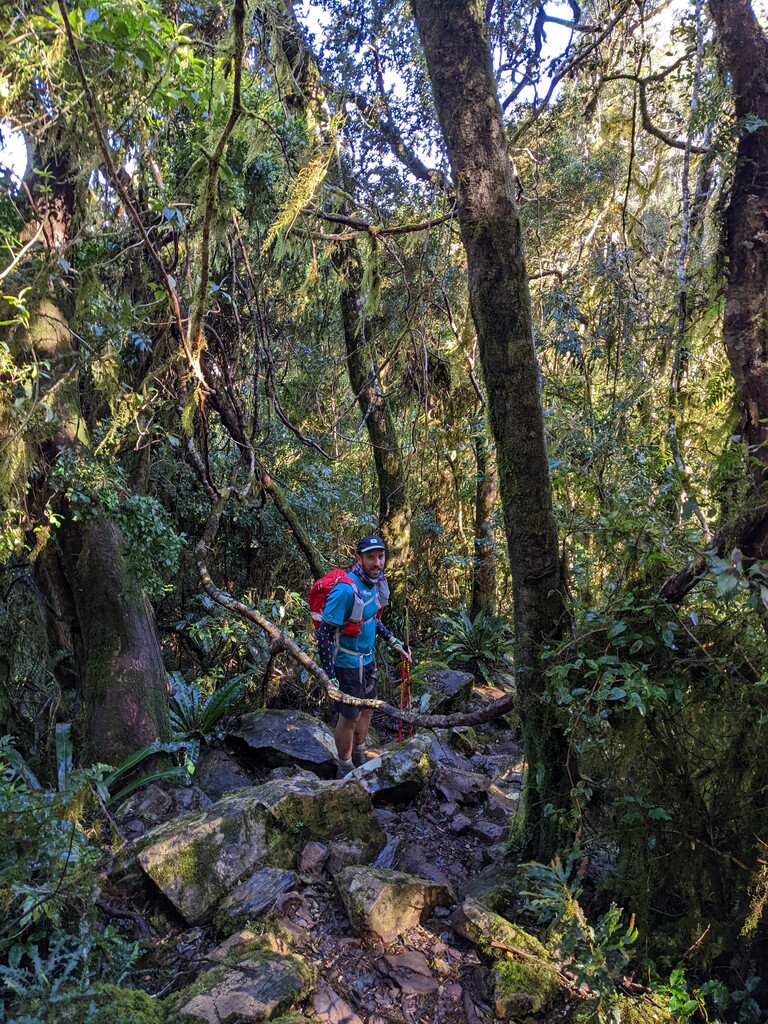
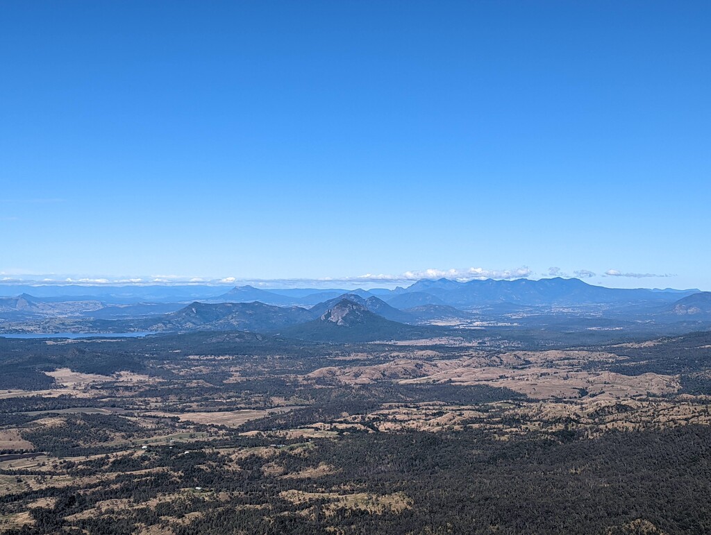
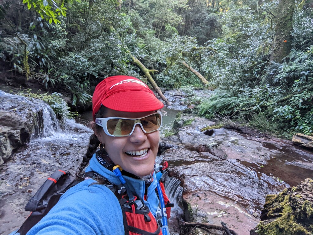
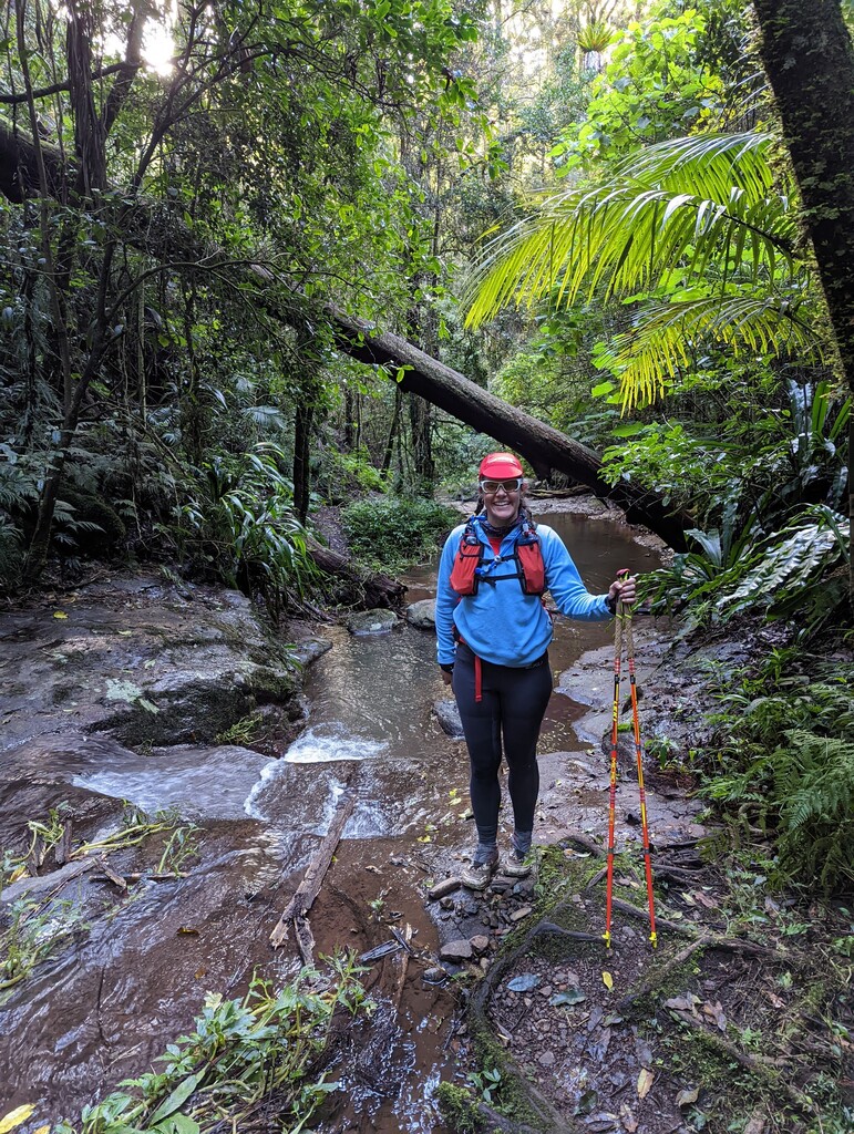
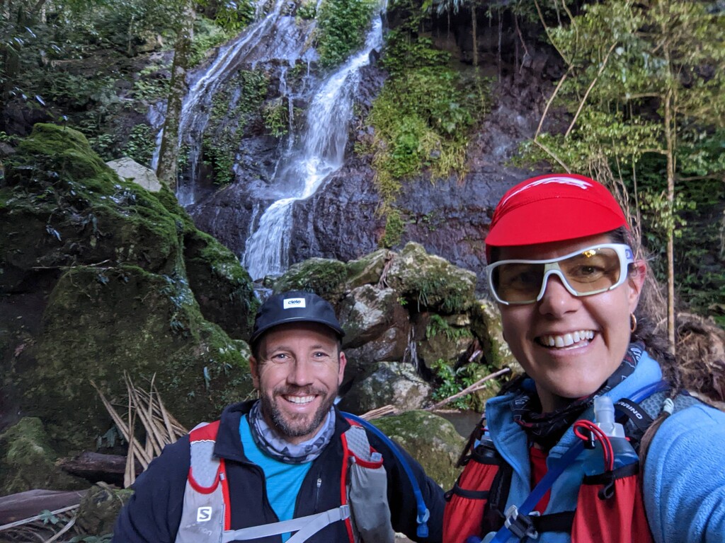
The first section of the trail was beautiful with a winding trail, a bit of a scramble, more winding trail and eventually emerging on the ridgeline. (Note that the ladders are intended for people on the paid tour and there is a dirt track around the back of the cliffs.) The ridge trail was a bit edgy for Tam's running preferences, but those with better balance will love the single trail and its stunning views across the plains. We had carried more water than we probably needed, so we didn't refill at the first campsite, but we did stop at the picnic viewpoint for a "rummage" (snack). The second section is largely along a red dirt road but recent rain had turned it into thick, slippery clay, so progress was a fair bit slower than anticipated – we would recommend waiting a while after wet weather! We refilled from the tank at Castle View walkers camp.
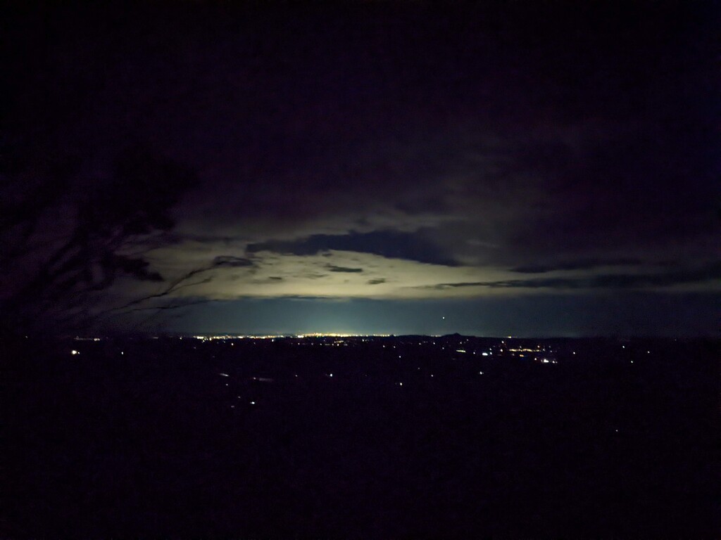
Banshee walkers camp was a cool and shady spot for our final refill before we headed through to the finish. The trail quickly resumed being technical with slimy rocks, and after dark it was so windy and cold that we ended up wearing all our clothes to go over the top of Bald Rock and Mt Cordeaux. The final few kilometres of smooth trail down to the trailhead at Cunningham's Gap are likely to be your fastest all day – they certainly were for us!
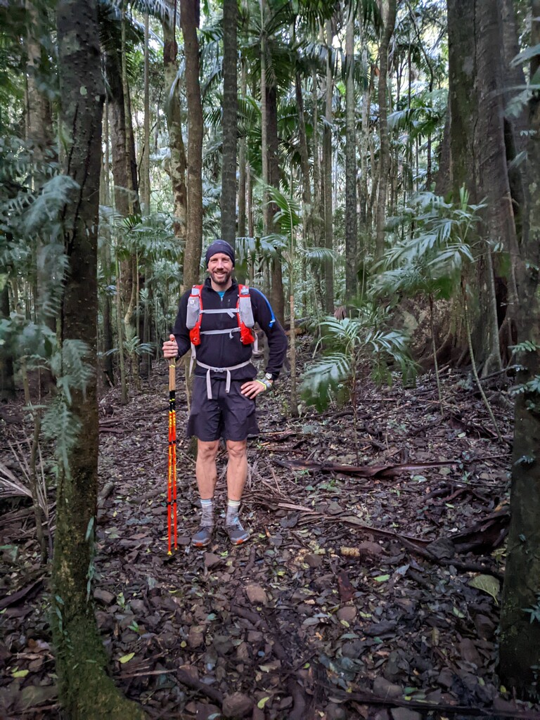
We have attached photos but also provided a link to a Google Photos album that shows the locations on the map.
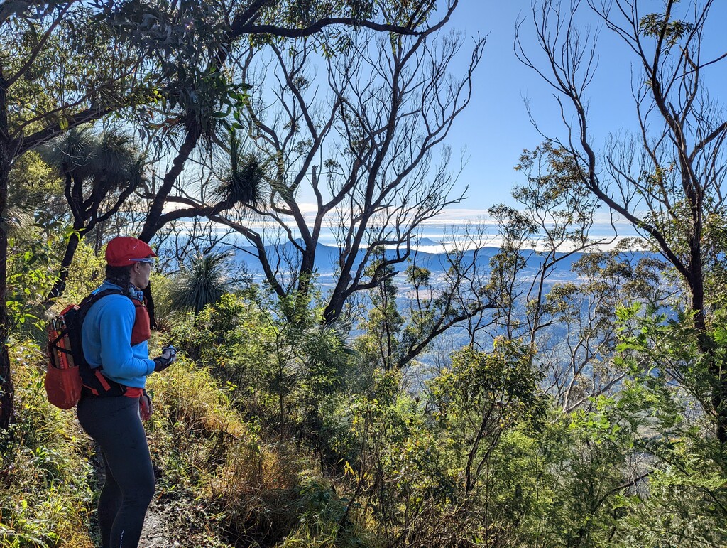
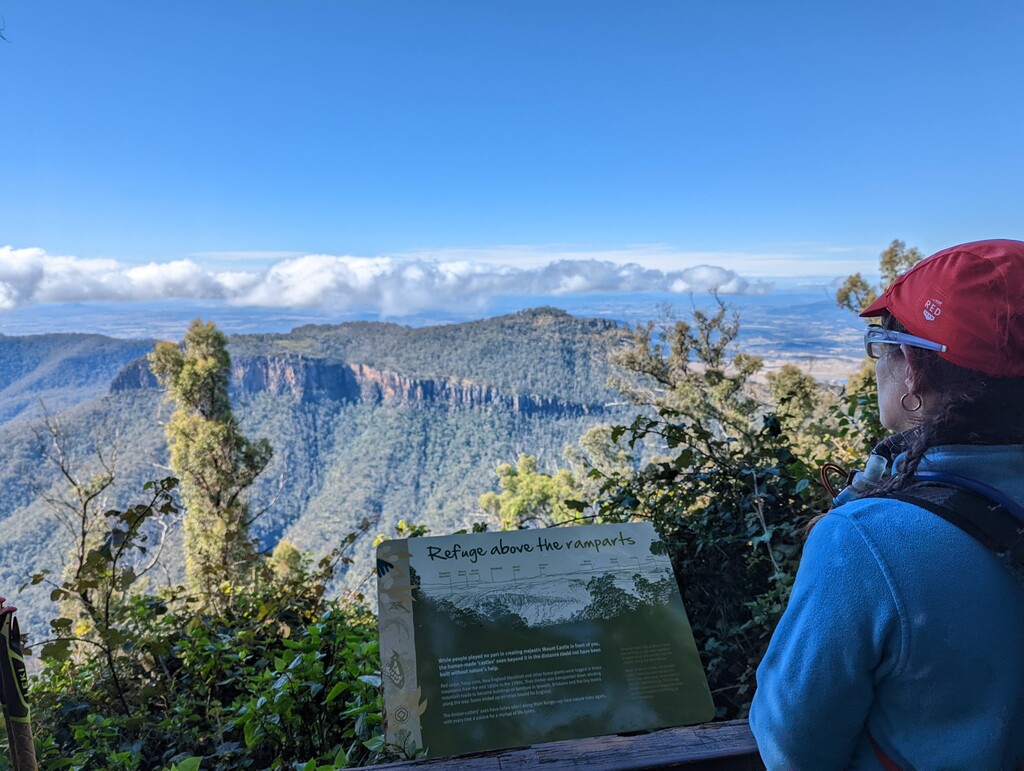
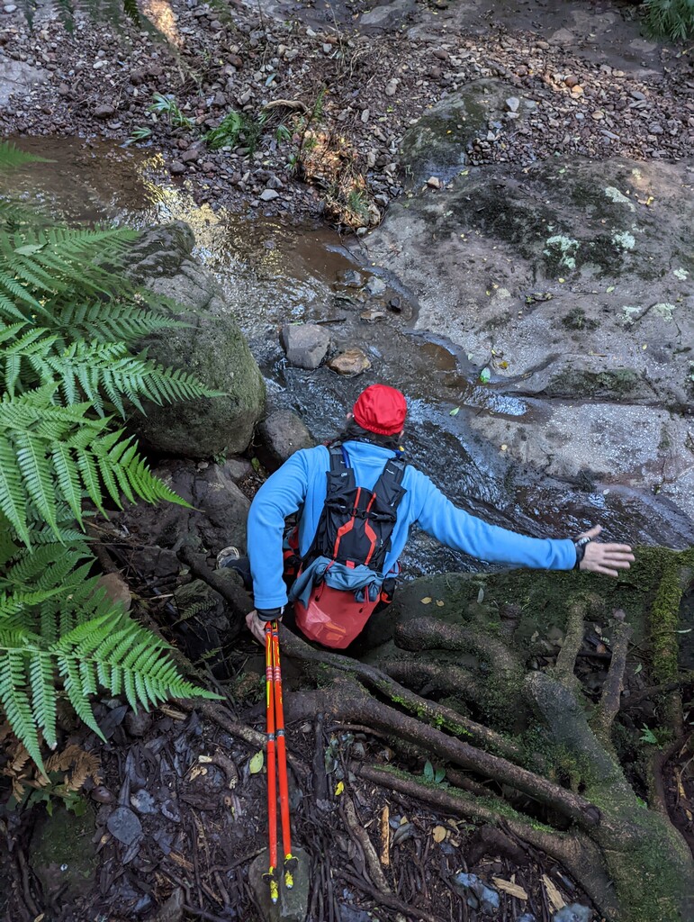
As an aside, there is an option to deviate from the trail south of Mt Castle and Sylvester's lookout, and head south where the trail turns west to Banshee walkers camp. This would cut out the reasonably technical descent through the creekline and subsequent climb up to the walkers camp, making the route shorter, much faster, but with one less water resupply point. We stayed true to the trail on this trip but I imagine a route variation might emerge in future years.