Location
Queensland,
AU
Distance
47 km
Vertical Gain
2,200 m
Description
GPS Track
activity_7122619742.gpx6.28 MB
FKTs
Male
Female
Mixed-gender team
| Quinton Gill | 5h 32m 19s | ||||
| Josh Jesse | 6h 26m 32s | ||||
| Dan Graham | 10h 15m 23s | ||||
| Michael Forrest, Adrian Mulholland, John Wacker | 11h 9m 36s |
| Lucinda Burton, Sally Barnes | 9h 59m 46s |
| Tamyka Bell, Sean Bofinger | 12h 35m 13s |
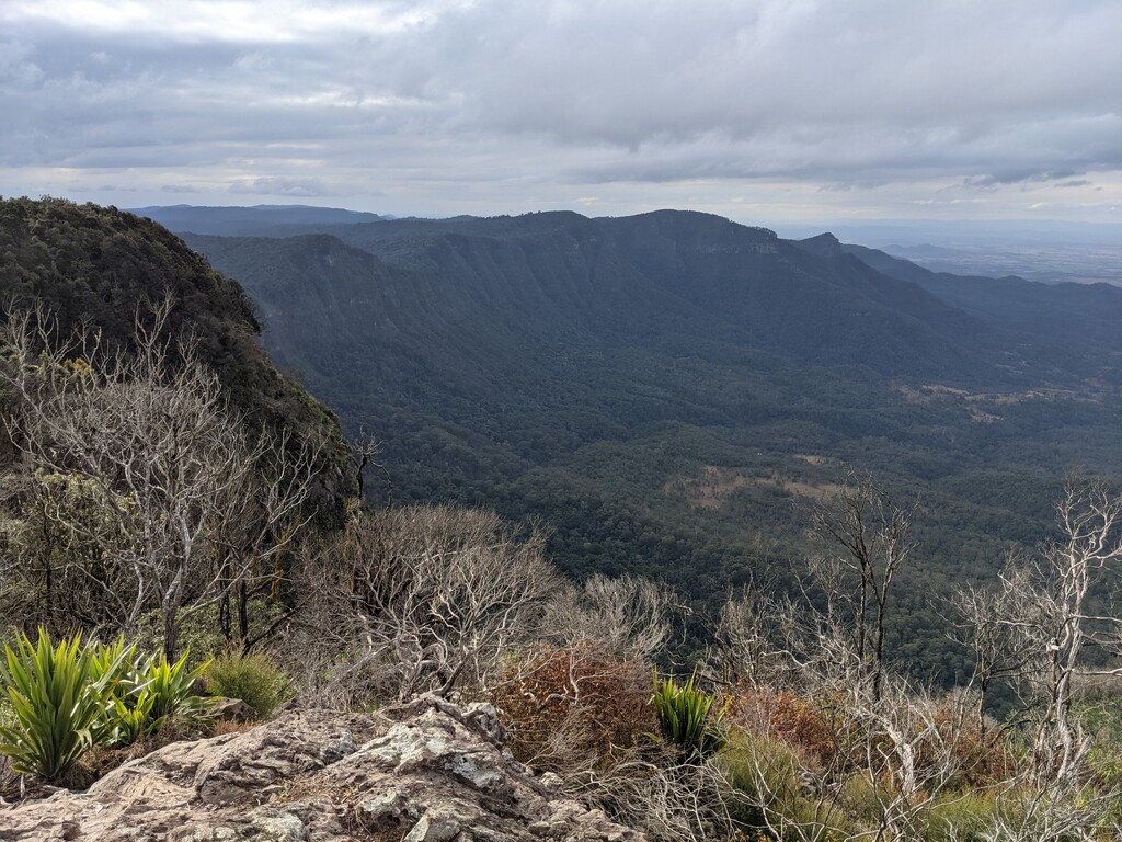
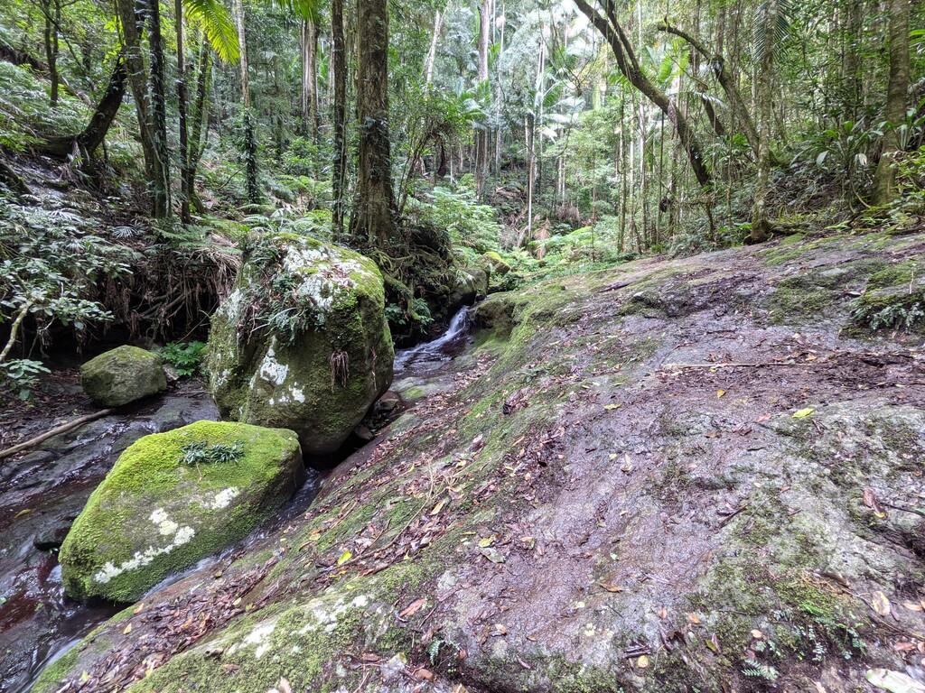
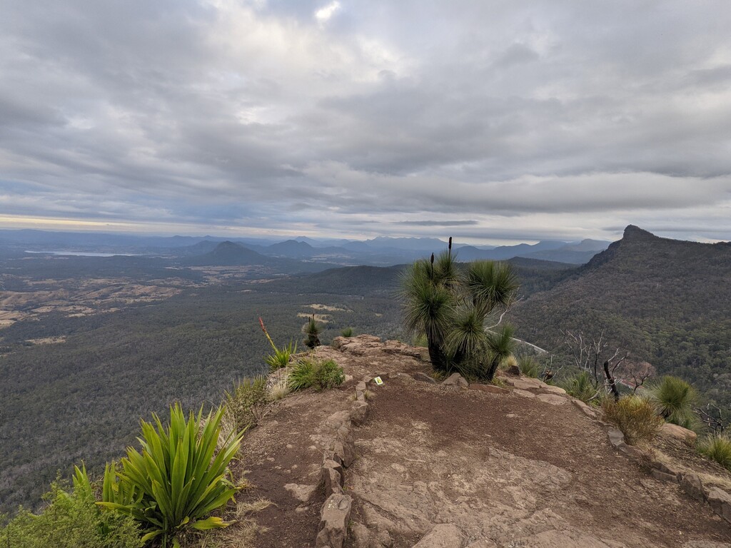
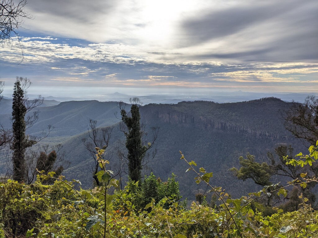
Images
Comments
How far KM and how much Vert is this trail?
Hey Robyn. According to Qld National Parks it’s 47km, I clocked it at 50km, 2155m of vert (Garmin Fenix 6x Pro).