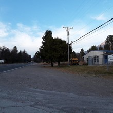
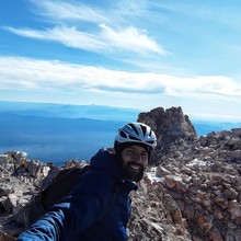
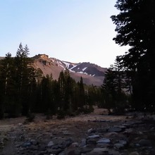
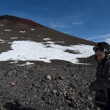
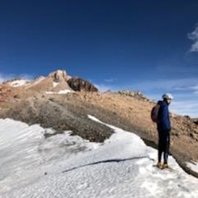
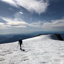
We parked at the Bunny flat trail and descended to the start, of the road climb, it was about 34 degrees which meant super cold! We started our bike ride from the high school located at the base of Mt Shasta, in the pictures we have the start location with the road and high school with the 'bear country' shown (this is considered the bottom of Mt Shasta). From there we rode 10.98 miles climbing aprox 4k feet to the Bunny Flat trail head. This took about 57 minutes. We certainly warmed up but once we stopped the temp dropped. We clipped in at 3:45 AM and started climbing about 4:20AM. About 5:30 we changed, ate and started our run up Bunny Flat trail. We followed the trail past the house and rock steps to the base of the Avalanche Gulch route. Finally, seeing the sun rise we turned off our lamps and snacked as much as we could. From there we put on the crampons and started up the face, this time of year there is much more loose rock and icy snow. Once we conquered the lip and steepest climbing section we navigated up the false summit, going one step at a time we reached the summit of Mt Shasta in 7:57:04 total time. It is worth noting this time of year is very cold, dry and has a lot of loose rock. The down hill was at times very sketchy and we took it very slowly and carefully. Our total moving time from clipping in to ride down to seeing our car at the was 11:58:58 Lots of stops on the way down and chatting. We used basic trail shoes with crampons and an ice axe, camel backs and bars/gels. Lots of layers for sure.
Athletes
Route
Route variation
duathlon ascent from town
Multi-sport
Yes
Gender category
Male
Style
Self-supported
Finish date
Total time
7h
57m
4s
Verification
GPS track(s)
Shasta-Hockett.tcx1.86 MB
Report

