

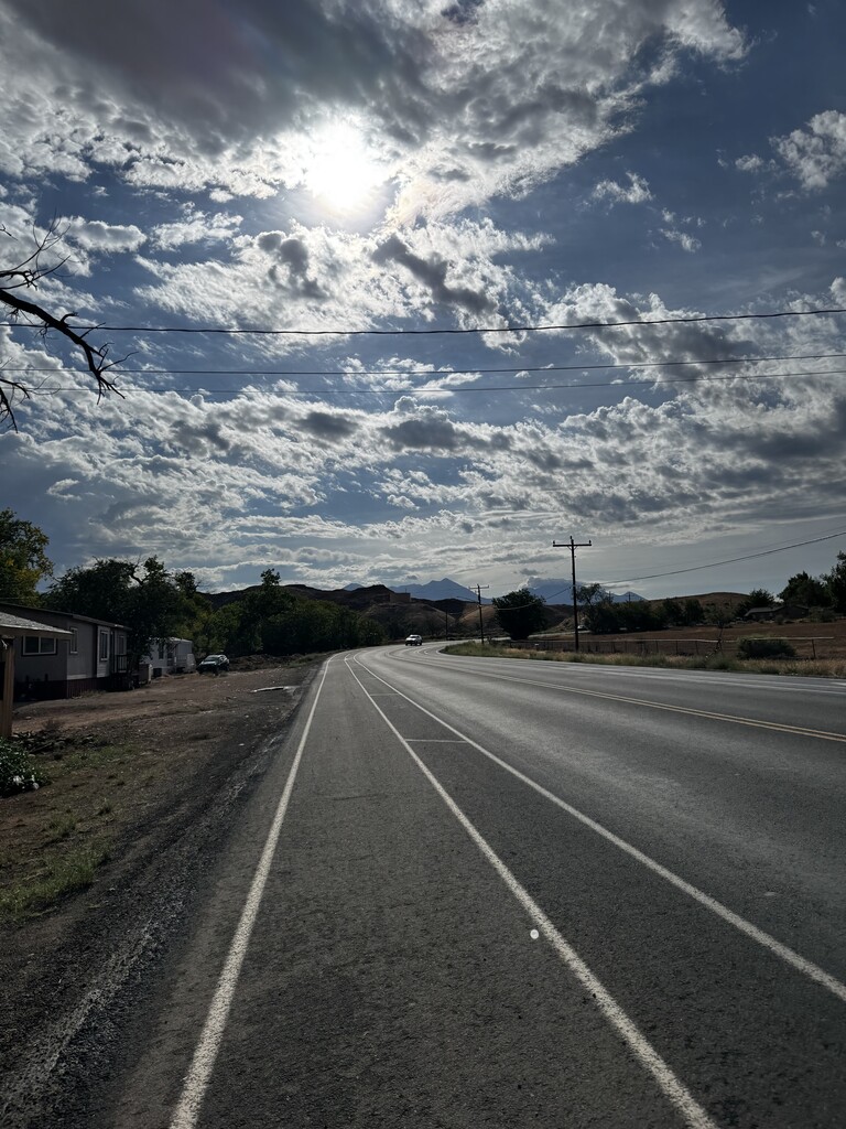
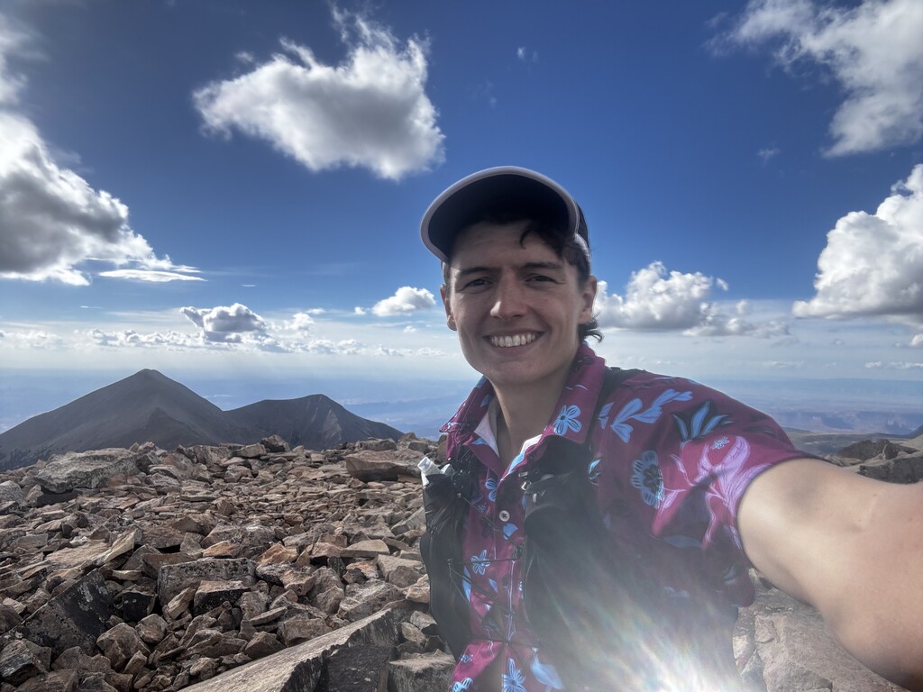
I've had the thought of doing this run for a few months while living in Moab. With a 100K race coming up in October, I figured this route would be a solid workout! Although I hadn't run any portion of the route beforehand, I felt that I was familiar enough with the area to pull it off. I decided to do this unsupported since it isn't an especially long route, and there are a few water filtration spots along the way. There was no one with me and I carried all of the nutrition and gear I needed the entire day.
The first 20 miles of this route were uneventful. A gradual climb started after I ran past Ken's Lake. The road sections were all very runnable, including the Pack Creek portion. Unfortunately, I made the first of two navigational errors when I flew past the right turn off of Upper Pack Creek Road to Hell Canyon trail. Arriving at a pit toilet, I turned around and pulled out my Gaia app to navigate 0.15 miles back to the correct turn off.
The dirt roads and trails before La Sal Pass aren't terribly technical but are fairly steep at parts, especially Hell Canyon trail. However, by far the most difficult section of this entire route (timewise) is the final ascent up Mt.Peale through the scree field. It is extremely slow moving due to the steep incline and loose rocks.
Overall this was an amazing experience! I dreamt up this route while living in Moab and being struck by the imposing beauty of the La Sal mountains. Although I didn't train for this route in particular, I hope another runner is interested in optimizing this route. I may give it another attempt myself this year, no promises. This run is one of the more scenic journeys I have endured; to travel across such a gorgeous landscape reminds me to appreciate running and everywhere it has taken me.