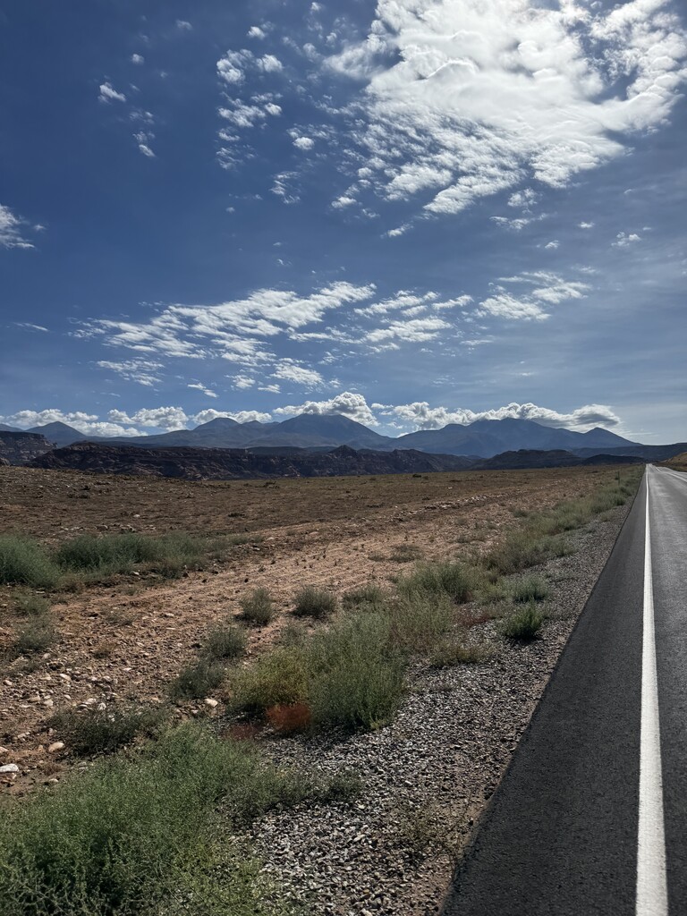
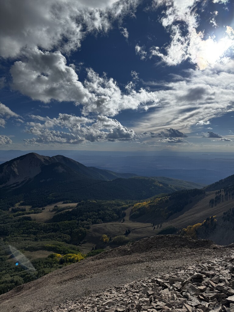
The La Sal Mountain range is one of the many notable geological features in the state of Utah. Spanning 10 miles across the region of south-eastern Utah, the typically snow-capped peaks are wreathed by lush forests and trickling streams which feel like an oasis juxtaposed with the sunburnt towers, arches, and mesas of the surrounding desert. The tallest peak within this range is Mt.Peale, jutting to 12,726 ft. (3,879 m) in elevation at its summit.
The city of Moab sits 20 miles west of the Mt. Peale summit along the Colorado river at 4,026 ft. (1227 m). Moab once served as the point at which travelers along the Old Spanish Trail could cross the Colorado river before bridges were constructed. From Moab, the La Sal range is always looming on the horizon, inspiring awe in those who seek escaping to thin air.
The Colorado river is an iconic and invigorating aspect of American (and pre-Columbian) culture which needs no introduction. When designing a long ascent of the tallest peak of the La Sal range, I felt that the Colorado would mark a notable starting point, specifically at the juncture with Moab.
Beginning on the bridge at Lions Park, this route cuts through the flat streets of Moab to the Mill Creek bike path and across Rotary park. Leaving Moab on Mill Creek Drive, the route crosses to Spanish Valley Drive and past Ken's Lake before turning right onto Pack Creek. Following the last of the paved road the route enters the Manti-La Sal National Forest. 18.7 miles into the run, before the pit toilet, there will be an unremarkable right turn that climbs rather quickly, this is Upper Pack Creek Road and marks the start of the ascent into the mountains. Follow this road until reaching a T-intersection and take the left. As the road ends 0.4 miles later, notice a sign for the Hell Canyon Trail. Steep and technical, the route follows the trail for 2 miles and climbs 2100 ft. until reaching a meadow with a cairn marking an unmaintained trail that cuts to the South Mountain Trail. The route follows this trail until intersecting with a 4x4 road, keeping right this road continues the climb to La Sal pass and the Mt. Peale trailhead.
Departing from the parking lot, signage along the trail directs towards a campsite at the base of Talking and Peale after which the trail quickly turns into a scree field. Route finding may be difficult at this section and loose rock poses a consistent hazard. Climbing up a narrow gulley the route turns right sharply and meanders dirt patches to the ridge line of Peale. Traversing for half a mile the route terminates at the summit of Peale with 360 views of the surrounding landscape.