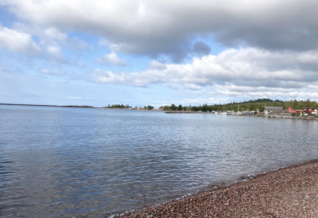
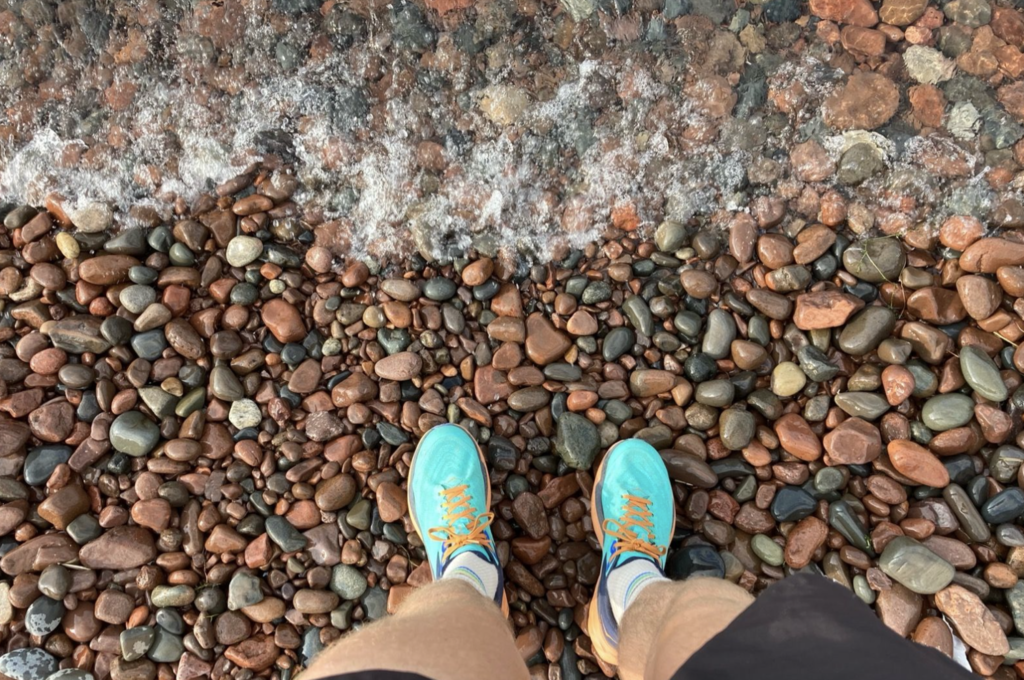
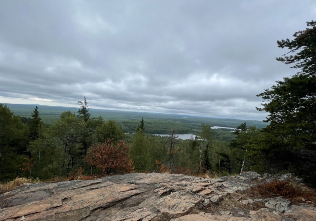

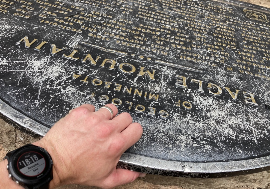
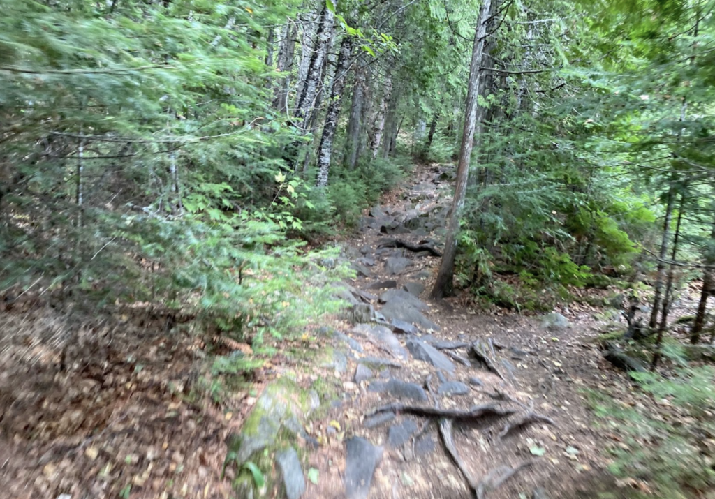
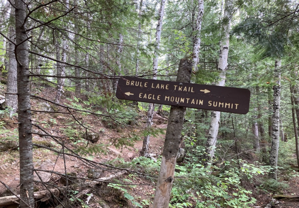
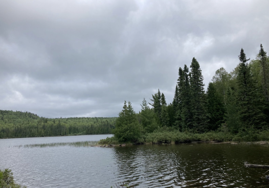

Thanks to Matthew Matta for establishing this FKT this year, especially with a late winter go at it. Really cool to start from the lake and go to the highest point in the state (Especially choose your own route style!) in under 20 miles. After studying maps for a bit, I was able to bring my route down from 21 to 19.5. Started the morning stopping at the Gunflint Ranger Station to pick up a Boundary Waters Canoe Area Permit (required on Eagle Mountain as it goes through BWCA wilderness). Left the beach and enjoyed the dirt roads up from Grand Marais (beautiful..and fast!). That made the climb up to Eagle Mountain trailhead very enjoyable. Was pretty knackered by the time I started the climb up eagle but the rocky and rooty trails were a blast and gave me some life.
Took 1 Liter of water and 3 gels. I would have probably done 1.5L with the humidity, but felt just fine. This route would be amazing on a cool fall day.
Total time was 2hr 18min 18sec. Hope more people give this a go because it's a blast and I think it can get lowered substantially / maybe go under 2hrs.