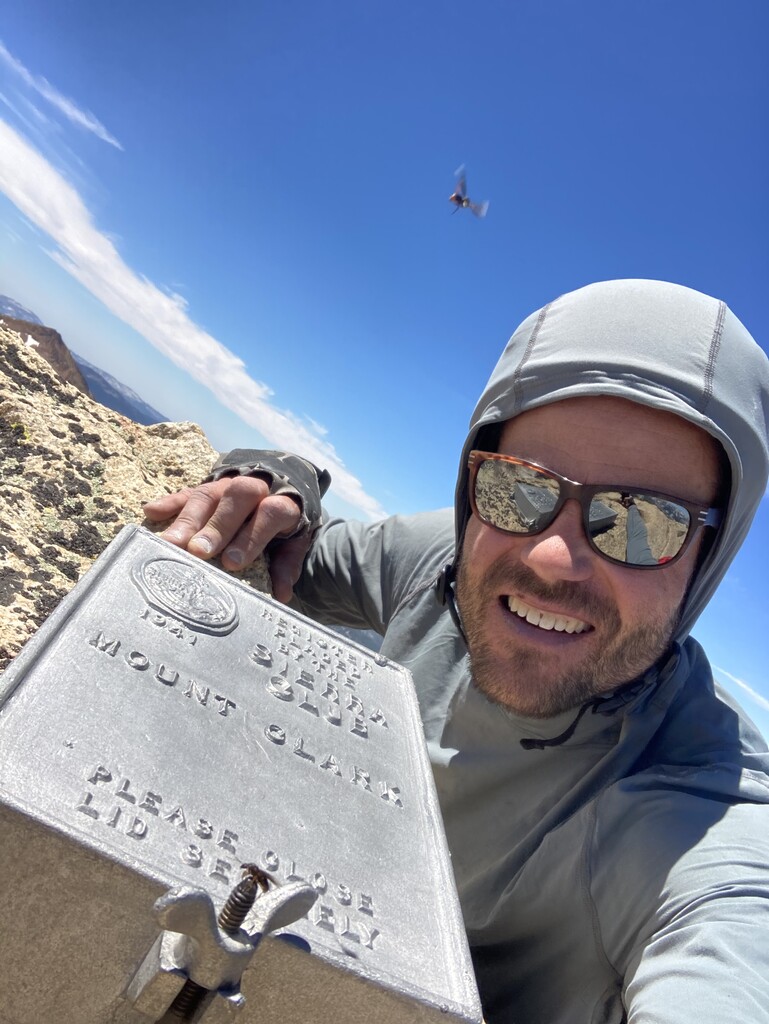
4am start from the happy isles trailhead parking, up the mist trail in the dark and past liberty cap. Split off from the half dome trail into gorgeous little yosemite valley to lost valley. This part is flat and on a sandy trail. A few switchbacks past bunnel point leave the trail due south and start gaining elevation. After some nice granite slabs you must bushwhack about 1000 vertical ft (this is the only part of the route that sucks). By 9000ft you’re wandering through boulders in a open pine forest and you get your first glimpse of Mt. Clark. Keep heading south aiming for the distinctive northwest arete. Along the ridge I bypassed a couple large gendarmes to the west. Once you hit 11k ft you’re on the arete proper and must pull 4th class moves with maybe some low 5th sprinkled in depending on your exact route.
After the summit I came down the northeast ridge (slightly faster and easier) down to a lake. From here if you follow the stream all the way back to the Trail you can avoid some but not all of the heinous bushwhacking.
I stopped for a swim on the way down and went slow on the last few miles as my feet were wrecked.
this is most likely not an FKT but it’s an awesome route with a good mix of fast trail, cross country travel, and Ridge scrambling, so I thought it belonged on the site.
thanks!
I brought only a light pack and trekking poles with about 10 energy bars. There is plentiful water along the route which i treated with iodine tabs.