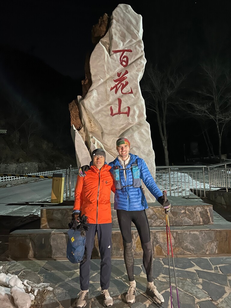
We've been eyeing up this route on the map for some time now. It is a prominent ridge running across western Beijing, but to our knowledge no one had run it in a single attempt. We weren't sure of the quality of the paths as there were many parts we had not traversed before.
The route involves a lot of climbing, lots of it steep and lots of it through thick, overgrown forest. There is nowhere to stock up on supplies (and no natural fresh water springs either) on the ridge line, so we had to take all food and water with us from start to end (unsupported FKT). We also had to carry quite a lot of clothing as the early morning start saw sub-zero temperatures, day time up to around 5+ celsius, and evening at the highest point around 2000m saw temperatures plummet below zero again. It is also exposed on Baihua Shan and a wind was blowing in from the NW, adding to the chill factor. There were very few people on the ridge. Other than groups of hikers doing an out and back of Qingshui Jian at the very start of the route, we saw just two other people during the whole run.
Overall everything went smoothly, though the path was hard to find sometimes. Just under 13 hours is a good time considering the amount of climbing involved and the quality of the paths. With better knowledge of the path and less stopping to check the map, we could probably do this faster.