Start at the metal gates leading down to the footbridge across Yongding River, just west of Anjia Zhuang 安家庄 on the G109 road. End at the engraved stone at the entrance to Baihua Shan Scenic Area 百花山自然风景区. Don't forget to reach the highest point at c. 2020m (百花山主峰), which marks the end of the ridge line, before turning back about 2km and heading down the main path to the entrance of the Scenic Area.
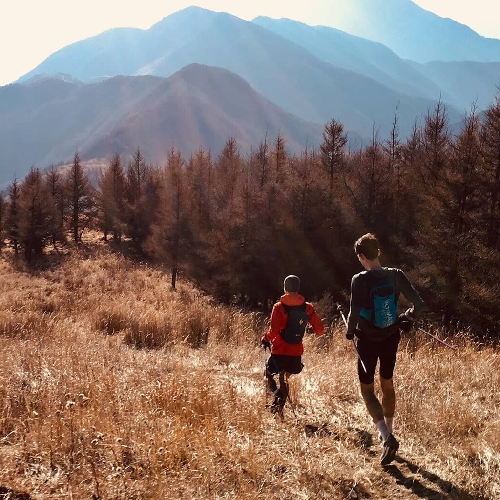
This is the main ridge running through Mentougou district of Beijing, easily identifiable on the map. Much of the ridge line forms the boundary between Mentougou and Fangshan districts. It offers fantastic views of all the mountains to the west of Beijing, including Lingshan and Xiao Wutai, both of which are normally snow-capped in winter. The rocky and dusty lower mountains at the start gradually give way to birch forests and flower meadows as one approaches the two 1900m+ Baihua Shan peaks.
There are no shops and no fresh springs on the ridge, so one must carry everything needed for the whole 56km route. Some sections of the route are runnable, but much consists of overgrown paths through forests that can be hard to find. Winter is the best season to run the route as in warmer months the paths will be too overgrown and lack of water is problematic. Early spring and late autumn should be doable too. Some of the sections are also extremely exposed, especially the two Baihua Shan peaks, so it is advisable to go on a day without much wind.