
Traversing the Olympic Peninsula was not a new idea for me but it emerged on my schedule this year only recently…..plan C after other things fell apart. It’s 2020 baby! My primary goal this year was to compete in the Plain 100. If any race could occur during the pandemic this was it; it typically has less than 50 competitors and is largely unsupported. Nevertheless, like most other races it was cancelled so I turned next to my backup plan… an unsupported effort on the Oregon PCT. However, just days before my intended start Oregon exploded with wildfires and it was clear I would not be able to attempt this route as planned. What the heck was I going to do with all of the cookies and candies I’d already taken out of their packaging? I quickly looked at other options and settled on this traverse. Fires are less common on the Peninsula given the abundance of rain it receives and air quality is normally very good too. My wife could give me a lift to the Coast during the weekend then get home to Olympia to teach school on Monday. My finish location would be about an hour from home so it would not be too difficult for her to pick me up when I was done. While I was already prepared for a long unsupported effort, I had little time to research the details of this new route. Given it’s proximity to my home I’d traveled some of the segments previously but the majority of the route would be new to me. I was launching into an exciting adventure!
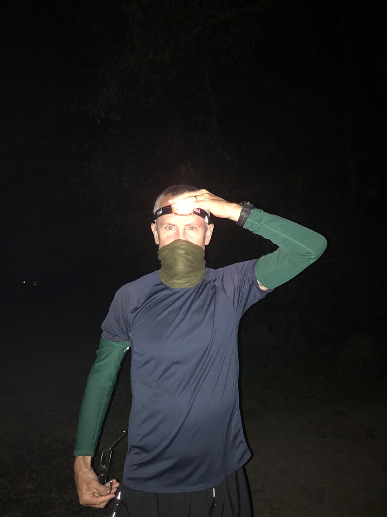
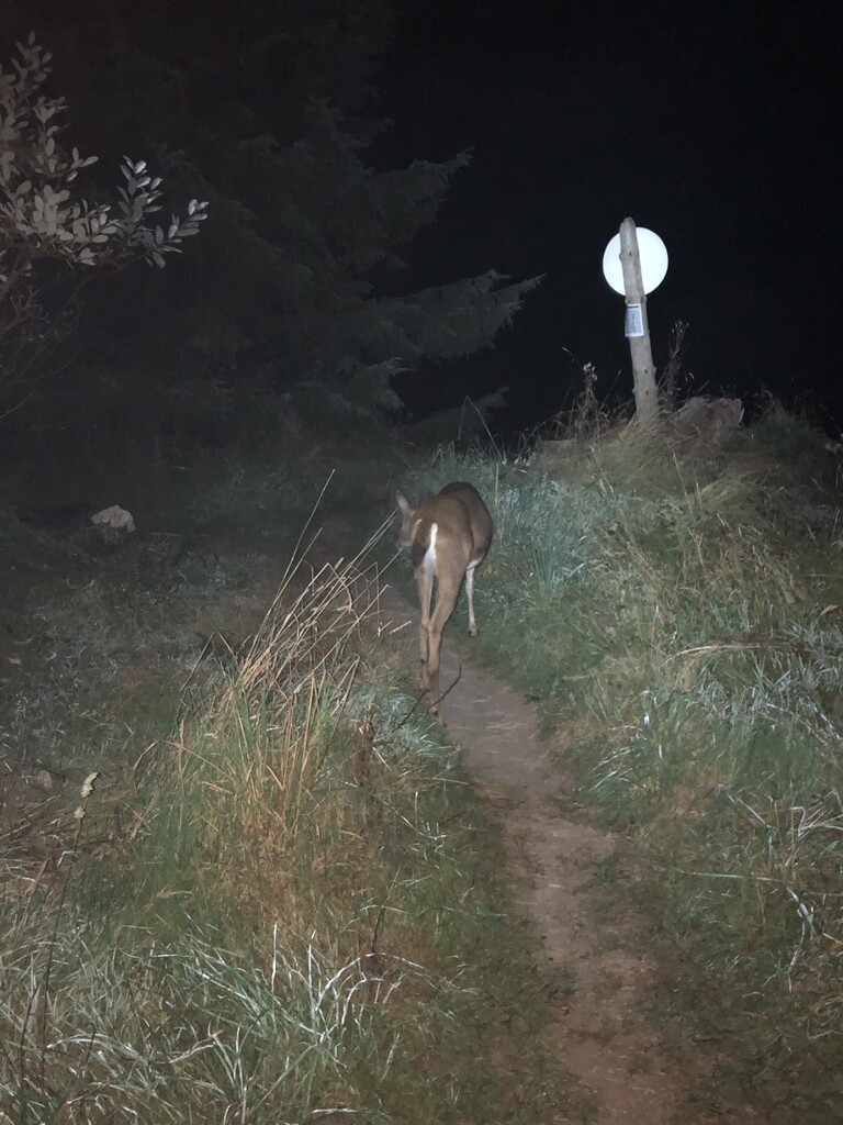
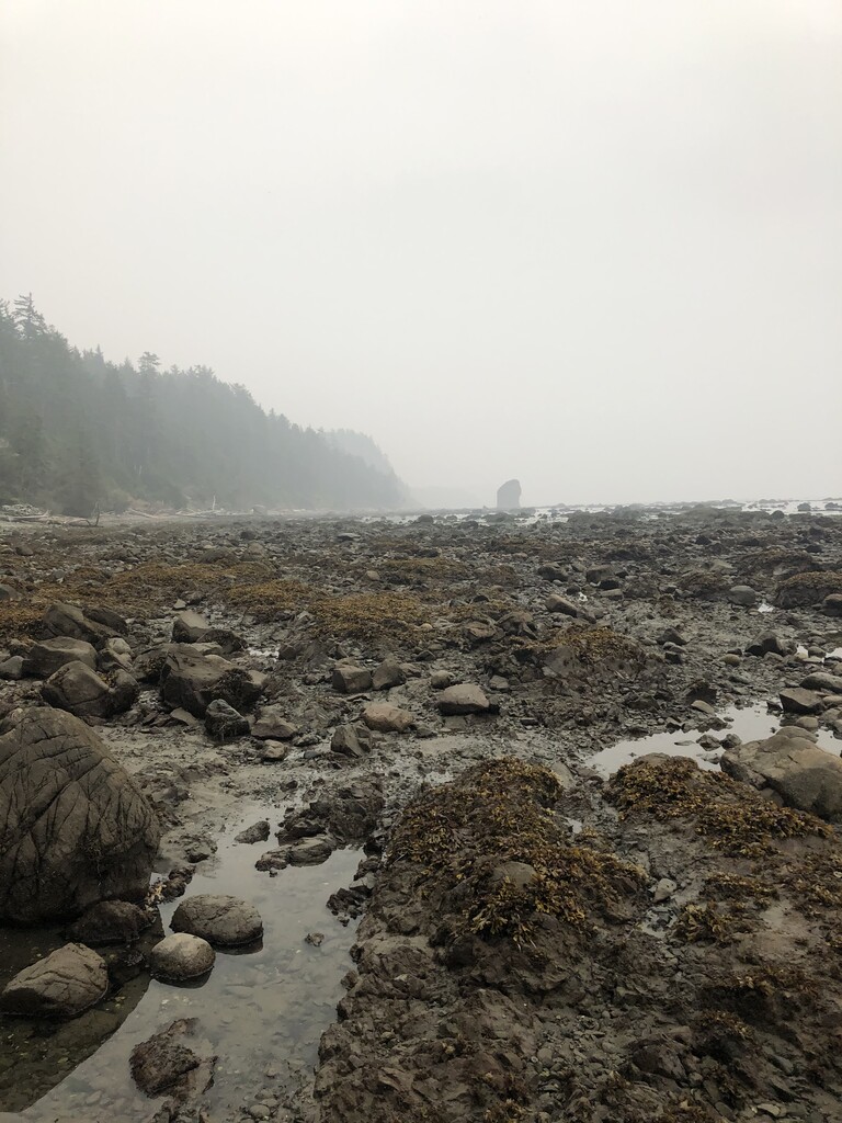
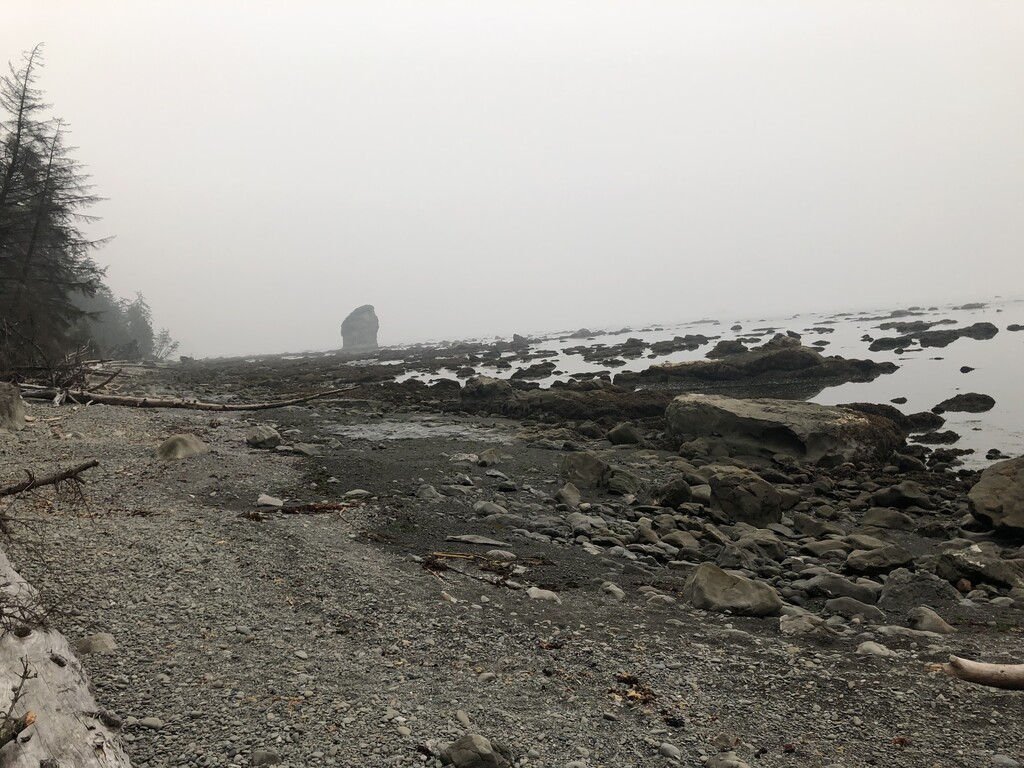
Day 1 – My wife and I got up super early and arrived at Lake Ozette in an eerie fog. The air quality on the Coast was not as good as I expected it to be. Seems the smoke from Oregon was blowing out to sea and circling back to the Peninsula. I thought briefly about canceling my plans but dismissed the idea. A planned surgery in a few weeks would prevent me from attempting anything significant during the remainder of the year and I was ready to roll. I geared up, gave my wife a kiss, and I was on my way by 2:53 AM (09/13/2020, see photo IMG-2251 for start time verification). The first section was a cruise over a nice path and boardwalk to Cape Alcava. Near the end of the trail, I encountered a little black-tailed buck who refused to yield the trail to me. I contemplated prodding him gently with my trekking pole but he finally ambled down the trail and I followed him to the beach. It would turn out to be a great day for wildlife encounters. Great blue herons squawked at me in complaint on several occasions when I flushed them from their roosts in the darkness. Close to the Cape, my headlight began reflecting a pair of eyes ahead. It did not look like a deer this time. My first thought was the possibility that it was a bear. We made eye contact and then it started running straight at me! It’s not a bear…. is it a cougar? Seconds later, it became clear as a coyote appeared in my headlight and then zoomed by me. That was exciting! I then realized I had the animal boxed in between the ocean and a cliff. The coyote was running toward me to get away from me. Later that day I would see a bear on the beach. He was about 150 yards away, and when he spotted me, he quickly made his way into the vegetation and up the hill. While wildlife were plentiful, people were few and far between. I did see some tents near Cape Alcava but would not encounter any hikers until I reached the Norwegian Memorial, about 14 miles into my hike. The reason for my early departure this day was the tides, something I do not normally have to consider. I reached Cape Alcava during the first low tide of the day. It’s one of the pinch points along the coast but there are several others to consider. The current tide cycle was not ideal. I reached an apparent impasse around noon just North of Cape Johnson. The tide was still up and there was no overland trail here to get by the Cape. There was not much difference between low and high tide. There was no way to get around the point without some wading and I was unsure what awaited me around the corner. I decided to wait and let the tide recede a bit more before proceeding on the slippery/submerged rocks around the point. When the time seemed right I started making my way around the corner only to discover another party headed toward me. I backtracked and let three PNT through hikers pass by before continuing. They were nearing the end of their 1200-mile journey and I offered them a well-deserved congratulations. I was not in a huge rush this day. I only planned to cover about 20 miles given the situation with the tides. I was happy to be moving over the wet rocks and slippery vegetation near the tide pools at a controlled pace. I did not regularly begin encountering people until I neared Hole-in-the wall, near the end of the north shore portion of the Coast. I made camp here in the early evening to prepare for an early start the next day.
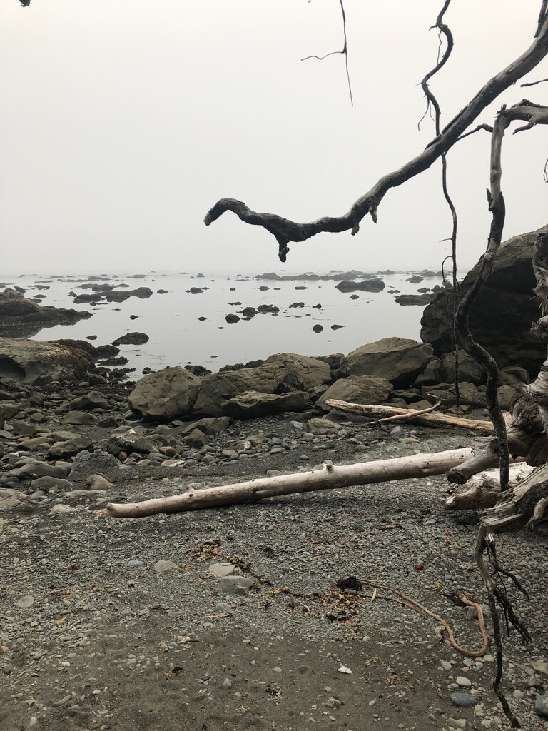
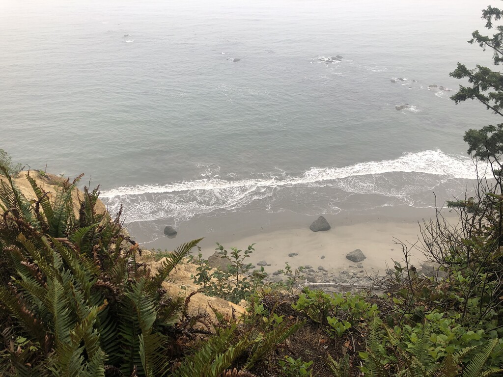
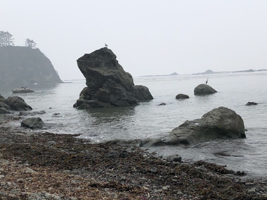
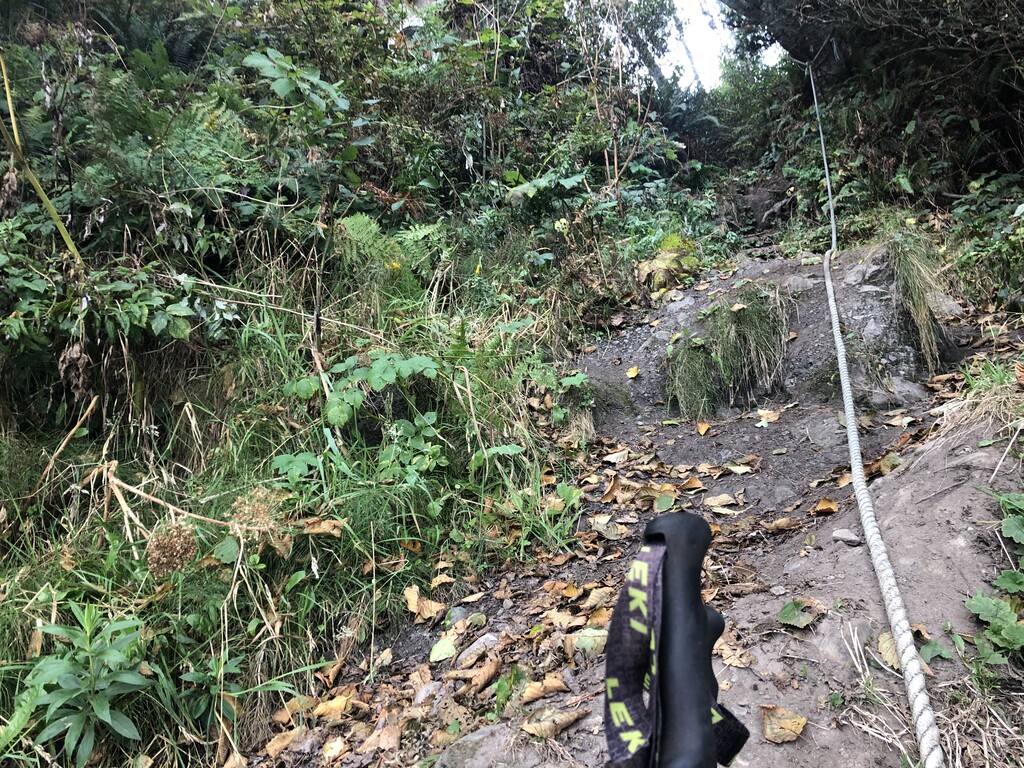
Day 2 – I hit the trail at about 5AM, made my way down Rialto Beach and then, after a bit of scrambling around in the dark through piles of driftwood, found my way to Mora Road to begin a 9 mile walk on pavement around the reservation community of La Push. For a road walk, this was actually nice. It felt good to have my feet on reliable footing for awhile. I listened to barred owls call out as I cruised down the road. When the sky started graying-up I caught sight of an owl flying silently above. It landed on a perch next to the road. A great-horned owl! I encountered only a few cars along Mora Road. Traffic picked up significantly once I turned onto the La Push road and I hurried my way down the pavement and made it to the Third Beach trailhead around 8AM. The beach walking from third beach to mosquito creek was notable easier than what I had encountered the previous day. These were longer stretches of broad sandy beach, versus rocky shorelines on steeper grades. I encountered a barefoot hiker near strawberry point during the late morning sometime. He was toting a packraft that he explained he used to play in the surf during his four-day stay in the area. Surprisingly, this was the last hiker I would see for nearly 2 days and more than 60 miles. What a cool place this was! Broad sandy beaches with few people, kelp forests, wading birds, cormorants, and harbor seals. I will definitely come back to this area. Things got a bit more difficult for me in the afternoon as rain showers began to turn on and off. The overland trail between Mosquito Creek and Jefferson Cove was not a great place to be when it was raining. While there were often ropes and rope ladders to assist on steeper sections, the footing was occasionally very slippery and I took a couple of minor falls as I made my way down to Jefferson Cove. I reached Jefferson Cove in the late afternoon at low tide. I had planned to camp here but did not feel confident that the tent spots were safe given the predicted high tide. I decided not to chance it and I continued past the Cove and found another campsite a few miles later, past the rocky points near the mouth of the Hoh River.
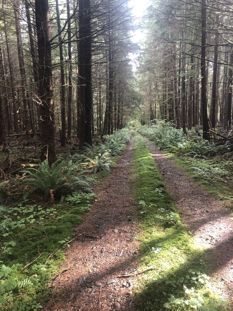
Day 3 – Time to put in some respectable mileage! I exited the Park a few hours before sunrise and started making my way down the oil city road, and then onto logging roads through managed state and private forests. This was surprising enjoyable as once again, I encountered very little car traffic along the way and saw no other hikers. After navigating the web of logging roads, and a short hike on 101, I cruised up Undie Road and made my way to Bogachiel River Trail. On the outskirts of the Park, this braided trail is not well marked. It took a little backtracking to get it right. Once back inside the National Park Boundary the way forward was much clearer. I made my way up the river and set up my camp at nightfall during another rain shower. My rainfly had not dried out during the day but I’d managed to keep the tent and most of my gear dry.
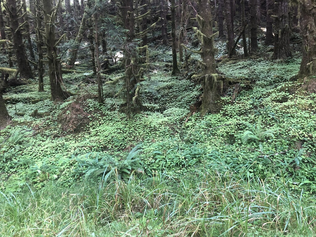
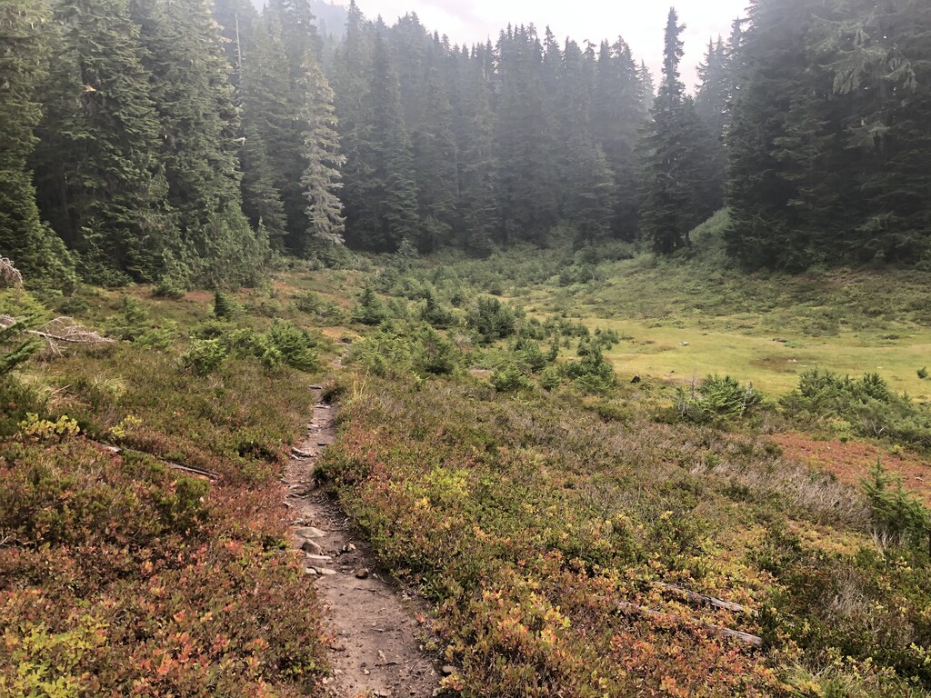
Day 4- I got an early start and continued up the Bogachiel River trail in a light rain. The first few miles went by quickly but things slowed as I reached sections of the trail that appeared to have received little maintenance in several years. I forced my way through brushy carwashes, stepped up muddy stream/trails, and climbed over and under monster old growth downfall. By late morning, I was feeling worn out. I took a break and caught a second wind after a snickers bar and some caffeine. By the time I reached the intersection with the Mink Lake trail I was cruising again. I encountered a couple of PNT hikers here, and would begin seeing hikers regularly now as I passed through a very popular “quota camping” area of the Park. The views of the Seven lakes Basin were stunning despite the lingering haze from the wildfires. The bushes were laden with berries and the bears were out in full force fattening up. I lost a bit of time when I got distracted by a bear near the High Divide and did not realize until several minutes later that I had blown right by my turn. I had to backtrack a mile uphill to get back on course. I made a final big climb up to Appleton Pass and stopped for the day.
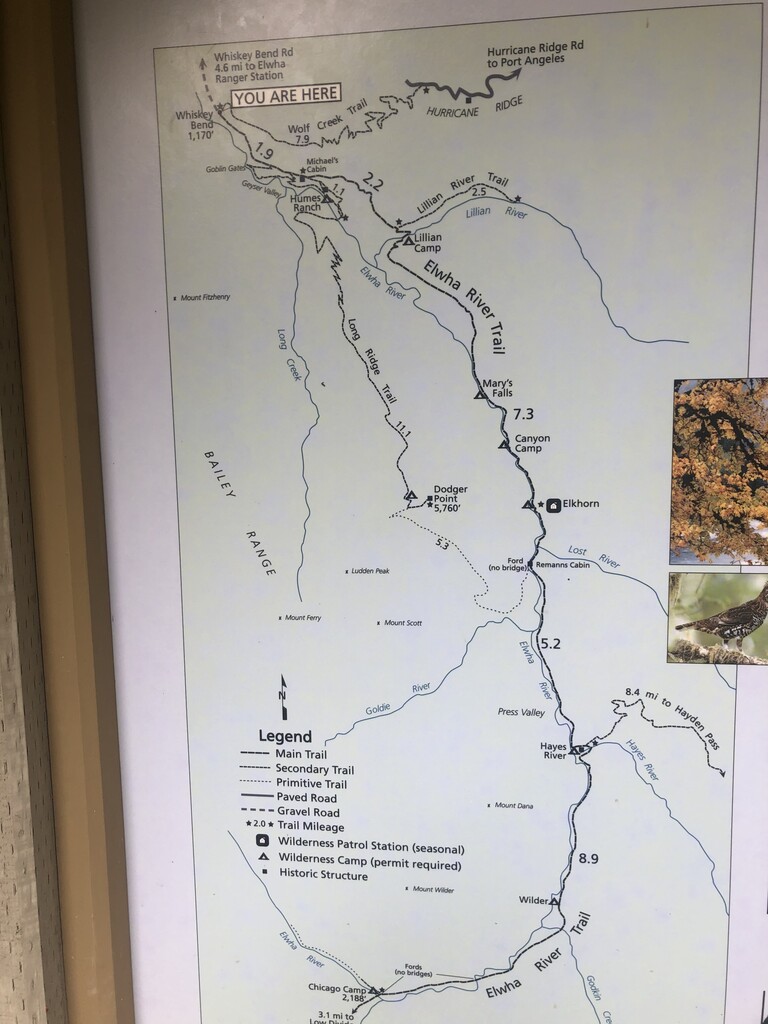
Day 5 - After a nice long sleep, I started my trek down the Boulder Creek Trail, cruised past the Olympic Hot Springs, and made my way across the River and onto the familiar territory of the Elwah River Trail. I saw a hiker going into the Humes Ranch Homestead and a monster bull elk at nightfall but otherwise I had this great trail to myself all day. I took a mid-day break at Lilian Camp for some foot repair then pushed on until I reached Elkhorn. After a dinner break and water resupply I started the trek up to Hayden Pass. I was feeling good! As I neared the pass, I heard a few rumbles and saw a flash of lightening. This was a little unnerving and I hustled up and over the exposed pass as quickly as I could. I did not feel comfortable until I was safely back into the trees. The storm never materialized and from here on out I had gravity on my side. I reached the junction with 101 in Brinnon, the end of my trip, at 9:04 AM (09/18/2020- see finish photos IMG-2306, IMG-2307 for time verification).
Gear notes: Permits and approved bear cannisters are required in Olympic National Park. Unsure how long the route would take, I loaded my Bear Vault 500 up with 7 days worth of food. For route tracking and time verification I used my IPhone photos and Garmin InReach. I also carried a USB recharger, extra batteries, trekking poles, tent, pad, and a cozy quilt.