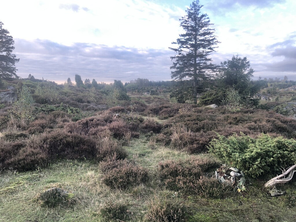
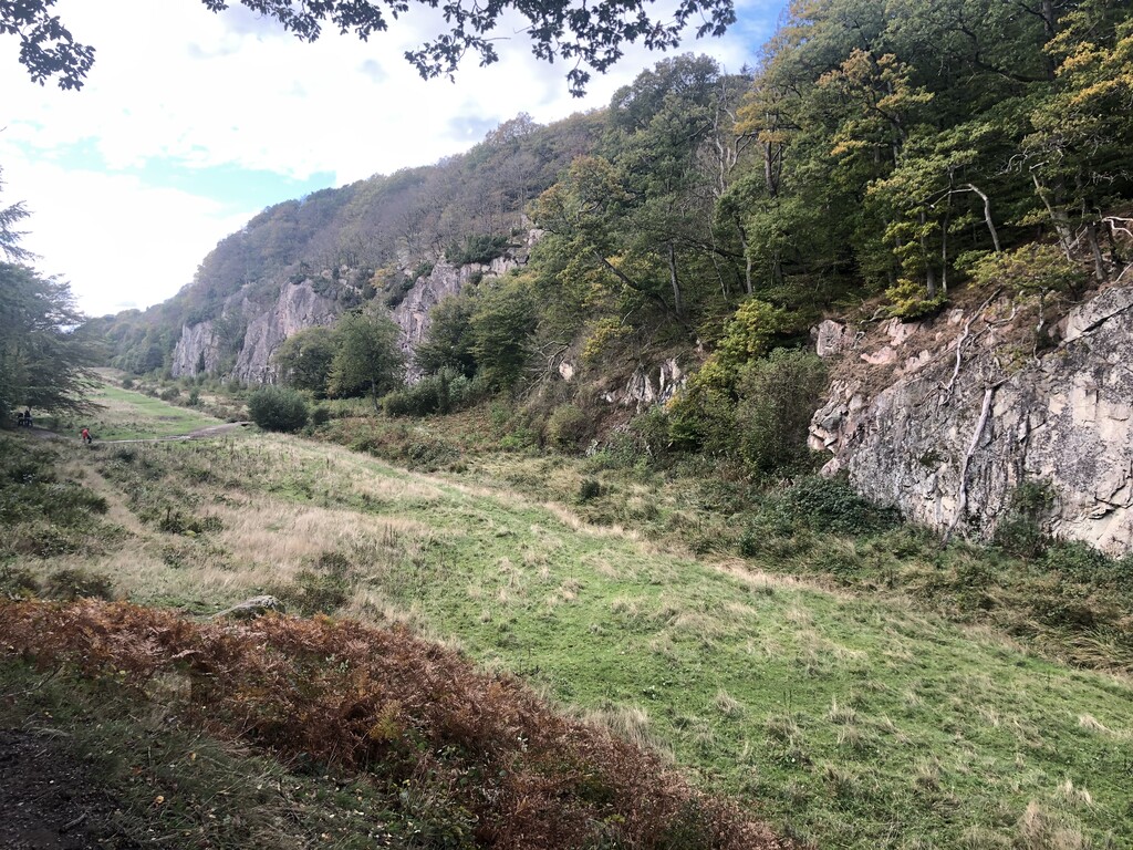
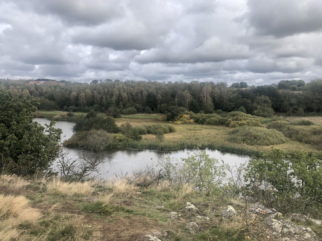
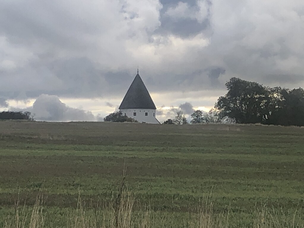
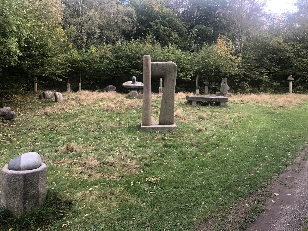
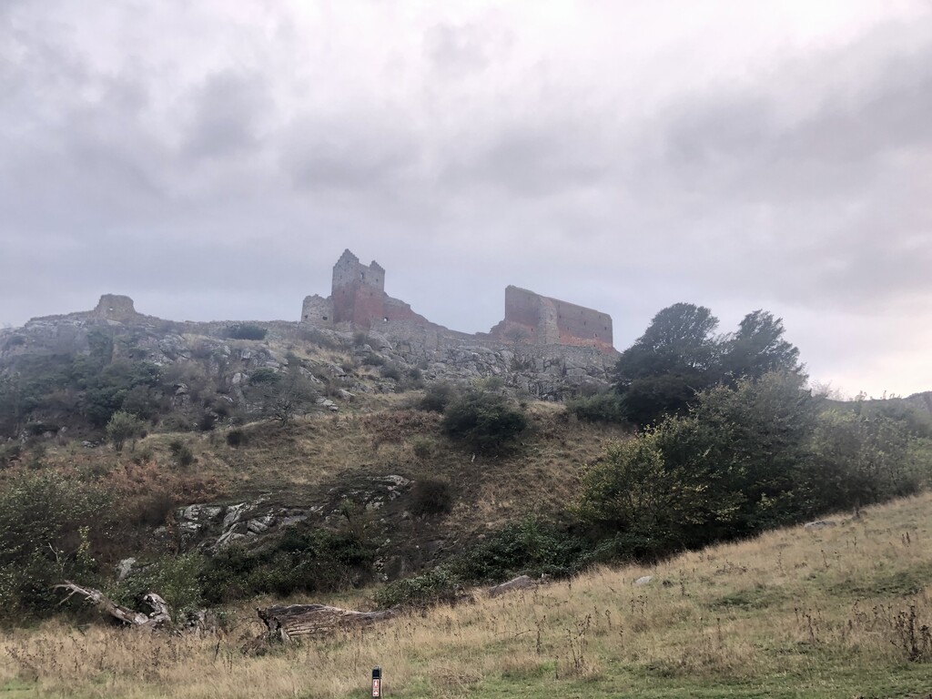
Started from the village of Årsdale at 8 am in the early morning light and had a "warm-up" 2 km on a small paved road upwards that runs into the forest of Paradisbakkerne a unique and wonderful sanctuary for wildlife. Here the track is a technical varied single trail that ends in the SW corner by an iron-age keep (Gammelborg). After another km of road the trail follows a small stream that gets you to the wetland of Ølene with great bird life. The trail then follows gravel/forest roads into the larger forest Almindingen and runs through a part of the Bison enclosure where it again become a nice single trail. The path then passes some nice lakes and turn south to the well known Ekodalen (valley of echoes) and follow the valley to the south end. On new gravel roads the trail turns north and hit the highest peak of the island, Rytterknægten. Like Ekodalen this is well visited place and an opportunity to fill the water bottles. Then the trail follow the small road north and soon onto technical single trail that took me to another ancient keep (Lilleborg) and then into the western and northern parts of Almindingen, all beautiful parts. A 3 km tiny paved road took me then to the smaller forest Rø Plantage with fine valleys and autumn colors. Then the trail went largely NW along smaller green areas, farmland and through the tiny village of Olsker with its medieval round church. There was also a visit to a granite sculpture park. Then the trail went into the hilly NW area of the island, with many different habitats and the big medieval fortification Hammershus, then hit the hill by the quarry and down to closed quarries-turned to lakes and to the finish at the beach in the village of Sandvig. A beautiful way to visit so many fine places on Bornholm. Highly recommended.