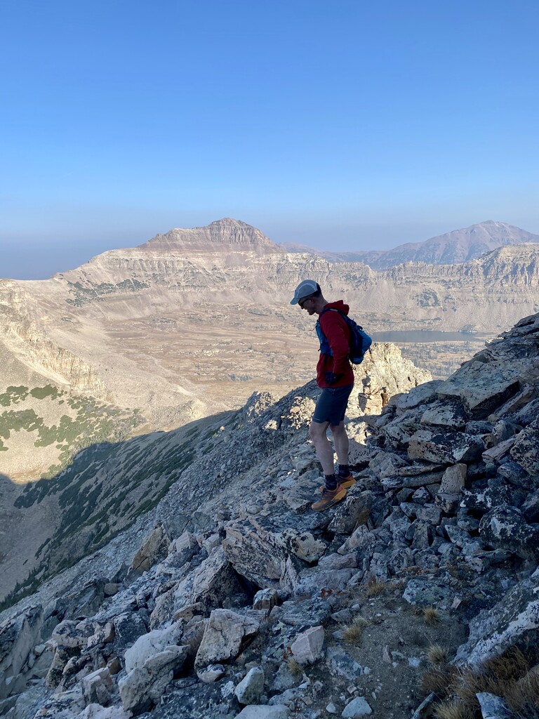
Eric and I set out to learn what we could about the route and enjoy the day. Because of some nagging knee issues, Eric pulled out at Amethyst lake. Really was not expecting to do the entire loop but when we got to the Ostler ridge and Amethyst lake I decided to give it a go given our time compared to the current FKT which I think is just over 23 hours.
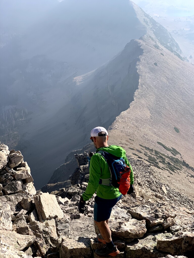
I absolutely loved the day and the ridge line. There’s a couple parts of the loop I didn’t really understand and I wouldn’t mind altering the route a little but stuck to the one posted on FKT sight. Especially can’t figure out why after hitting Lamotte you don’t just continue northwesterly along the ridge until you get to the Stillwater. I’d also like to see the route go up from Stillwater to A-1 peak and hit the entire A-1 ridge
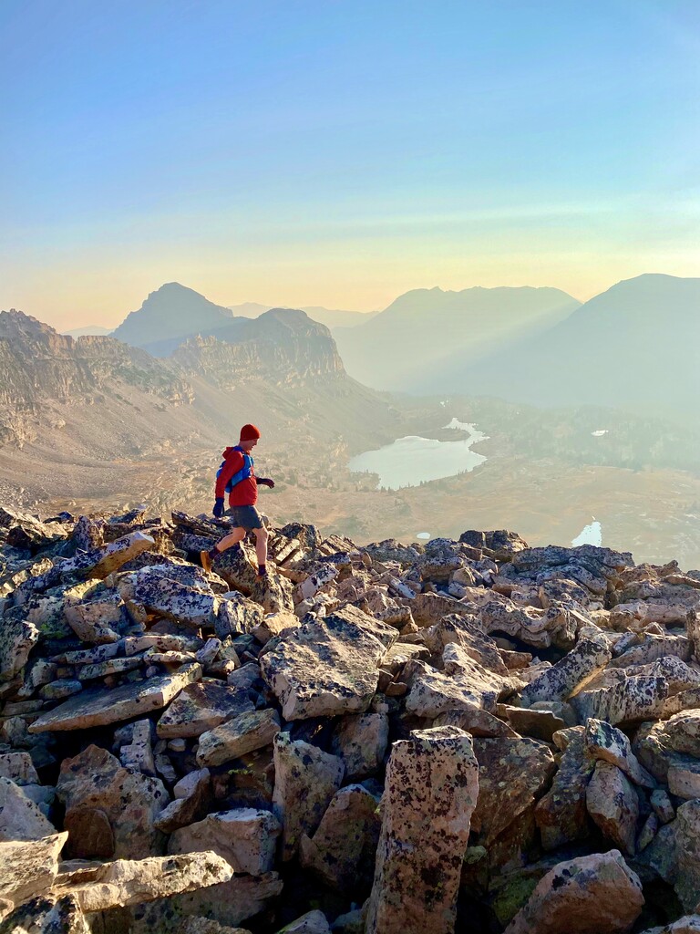
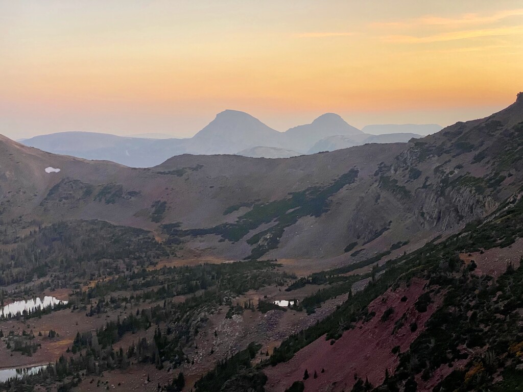
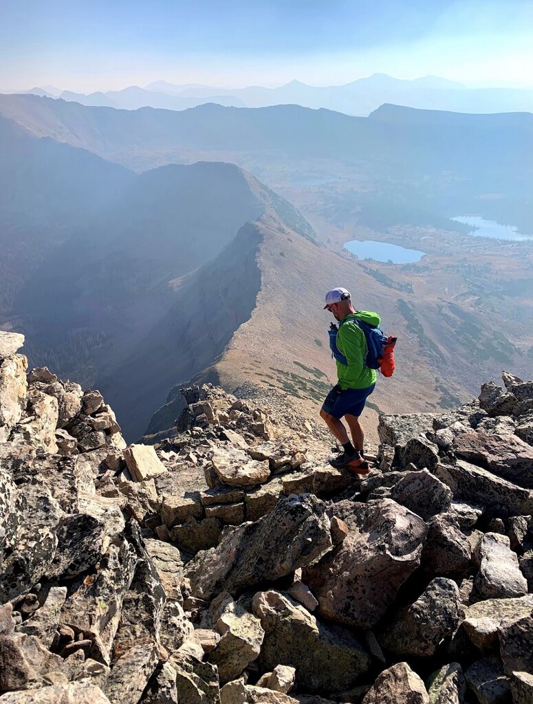
Anyhow, after getting water down in Amethyst basin I was able to move fast on the trails and fortunately made it back to the ridge line just south of A-1 peak before nightfall. The sunset was incredible and seemed to burn longer than normal for which I was grateful.
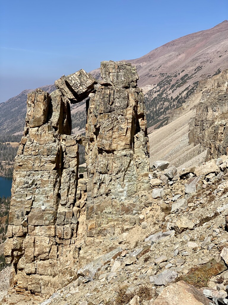
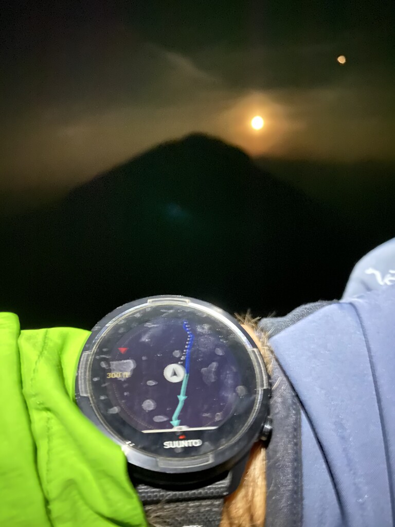
I still was not able to make it over to A-1 before it was completely dark. Getting all the way over there seemed to take forever! After summiting A-1 and working my way back over to where I had gained the ridge, I started up the next peak (Kletting) and was treated to an amazing moon rise that was orange from all the smoke. It was spectacular. I had no idea what was in store for me as I approached the Hayden peak area. Probably some of the most sketchy and technical scrambling of the day and I just kept hoping my headlamp had a full charge. I wish I could have seen the views better. It was so rutted and the route would go around and drop below in several areas because the peaks were too dangerous without ropes. At least that’s what I’m assuming and what it looked like. Ironically, driving up the mirror lake highway that morning I remember gazing at this section wondering how you would navigate it.
At one point in a very technical down climb area I actually got turned around and felt lost. I back tracked my steps and with the help of the routing on my Suunto 9 was able to finally find the line down through this section. There’s absolutely no way I could have done this route without having it downloaded on my Suunto. The last 2.5 miles zapped me of energy and nearly broke me mentally.
I’ve never done any of this route previously. I’ve been on ostler peak which isn’t included and I have stood on Hayden peak about 5 years ago but I went up from McPheteres lake. I felt fortunate to finish with no injuries other than blisters and the normal discomforts from something like this. It felt like I climbed well over 12.5k of vert but that’s how it is when your scrambling and on loose rock all day.
I ate 2 Spring Energy gels, 2 pb&j’s, 1 bean burrito, 2 almond butter bars, some dried mango and strawberries, a few bit o honey, 2 dried leather fruit, around 11pm I took two electrolyte pills I was glad I brought and 2 more about an hour later. Helped with some cramping. I drank freely while down in the basin from my Befree filter and I filled it up at least 3 times as I’d cross a stream. I still barely had enough liquid to finish and felt dehydrated after. I carried about 50 oz for first 12 miles and again from A-1 to finish.
It was fun to be into the early morning hours all by myself. I finished at 1:09 am and started at 7:18am the day before. I carried a rain jacket, windbreaker, Technical hoody, lightweight Patagonia pants, a pair of gloves and a buff. Only ever used some arm warmers and the windbreaker but I’m glad I had the rest just in case.