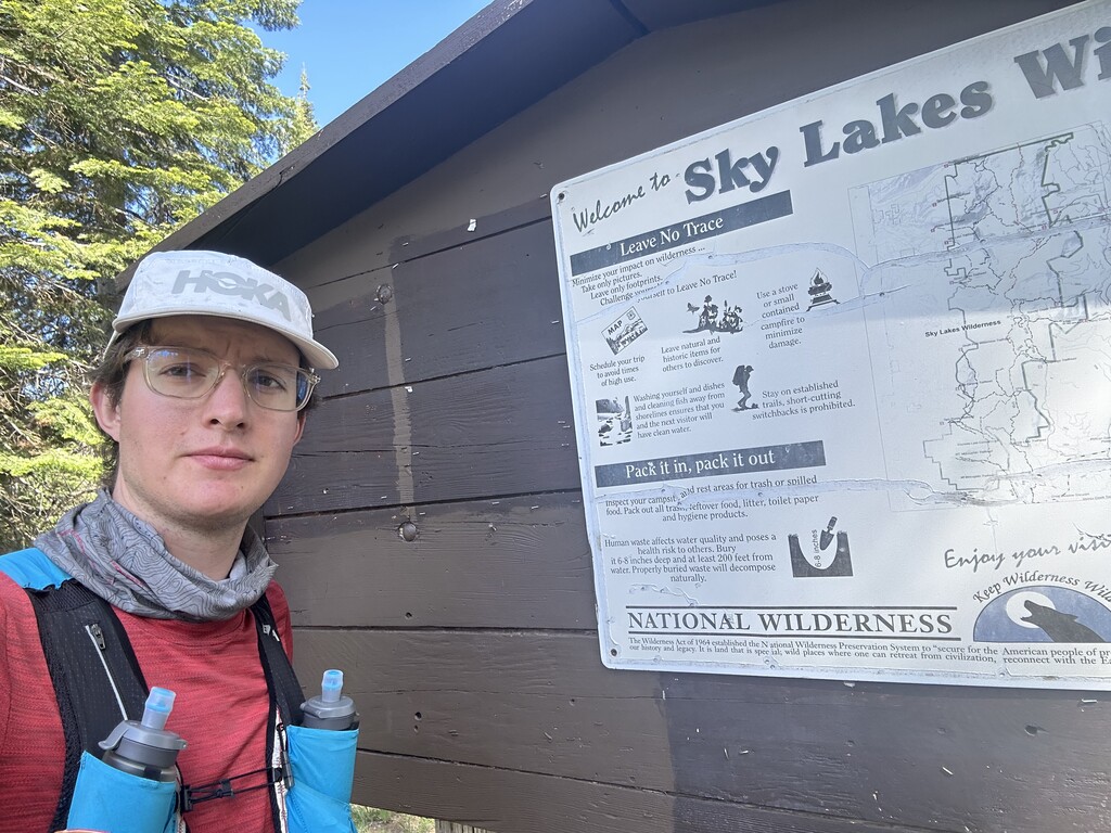


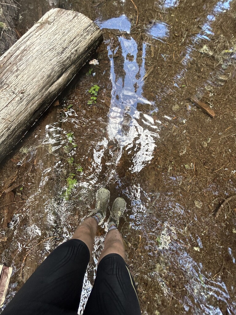
As the GPX file indicates, I ran the loop counterclockwise. I carried everything with me. From the start, I made good time along the PCT, though there were some patches of snow and a number of downed trees. There was a section of the Twin Ponds Trail where I got lost. The trail had virtually disappeared underwater. I’m guessing this is just seasonal because of snowmelt and poor drainage. My wandering is evident in the GPX file I uploaded and likely added some distance. I bushwhacked for a little while until I found some flagging and then retraced my steps to run the proper trail. The rest of the route was easy to follow, with several miles on dirt road and then a good distance on Highway 140 that climbs up to Fish Lake. This was by far the most difficult part, at least for me. There was very little water to draw from and no shade. The short trail section along the lake was pleasant and easy-going until the finish. Overall, I really enjoyed this route, though I much prefer the trail sections to the road sections. Due to navigational errors, pour water logistics, and some G.I. issues, this is probably not the fastest time possible for me. But I’m sure there are many other runners out there who would excel at this route and blow even my most perfect effort out of the water. I’ll note that I did not attempt the summit+circumnavigation variation because of snow. Aria Zoner, who holds the fastest time for both variations, appears to have done them in the same effort, which is impressive. I definitely had a leg up on him given that I did not also do the summit in my run.