




“Maine, The Way Bikes Should Be”
The Idea
When I returned to work in November after my AT thru-hike, I was already looking forward to finding another chunk of time off in September 2026. I knew I could take 1–2 weeks off during the best time of the year in New England and I wanted to make the most of it.
I went through several ideas of how to use this time — Baxter State Park, Bob Marshall Wilderness backpacking, Long Trail thru-hike, White Mountains Direttissima, ADK 46 thru-hike, VTXL bikepacking trip, as well as other various ideas. I had been dealing with a bad ankle most of the summer, so I’d done a lot more cycling than hiking or running, but it felt like it would be a bummer to not go hiking at all with my time off. I started to think about ways to combine the two, when I got the idea to connect Maine’s 14 4000-footers by foot and bike, definitely inspired by Lance Parker’s feat connecting VT’s 5 4000-footers in a single day.
Beyond summiting all 14 peaks, I wanted to get off the beaten path and experience Maine’s wild beauty and gravel.
The total trip ended up being:
Hiking: 28h 10m, 63.2 mi, 22,852 ft gain
Cycling: 27h 42m, 293.7 mi, 17,226 ft gain
Rest of the elapsed time was spent sleeping/hanging out at camp or town
Day 1
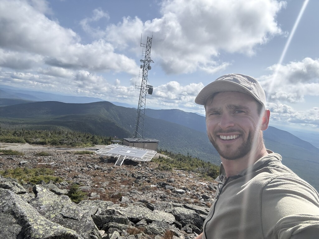
Summits: Old Speck, Saddleback, The Horn
Hike: 12.4 miles, 5,877 ft gain
Bike: 61.0 miles, 4,430 ft gain
Woke up after a sleepless, very rainy, night in my one-man tent behind the Grafton Notch parking lot. The clothes at the foot of my tent were already wet. Immediately felt doubts about what I was attempting. Then I remembered the fact “No Rain, No Maine” and decided I could just start by day-hiking Old Speck.
The way up the AT to Old Speck was full of mushrooms covering the trail and and quite a few thru-hikers, along with a fellow Maine peakbagger who was also headed hiking to Saddleback that evening (just via car). Met thru-hikers Coyote and Checkbook as well as Charcuterie and a few others at the summit.
Rain had cleared up and had beautiful views at the summit. Spent about 15 minutes shooting the shit with the thru-hikers and climbed the fire tower before heading down. Took the Eyebrow Trail on the way down which I had never done before.
Was greeted by trail magic from Sherpa (AT NOBO ’05) and gladly accepted some pancakes and bacon despite calling myself an Old Speck day-hiker.
Then transitioned into bike section of my day. Got the bike out of my car in the parking lot, fully loaded it up and started my adventure onto Bear River Road.
The riding was extremely fun that day, and I was so pleased that wearing my Hyperlite pack with about 10-15lbs didn’t cause any pain or issues. Most of the day was on really fun gravel. When I was getting close to Rangeley, I spotted a small pink figure doing a sailor signal on the road in the distance.
As I got closer I saw it was a young girl selling lemonade for $1. I gave her and her sister $5 and had two lemonades and some great conversation. They were very impressed by my objective and made me feel really cool.
Made a quick stop at the Rangeley IGA for water and a sandwich before riding up Dallas Hill Road to the Saddleback base area.
Got off the bike, loaded my pack with all my overnight gear, and headed up Saddleback. The pub was closed unfortunately due to a wedding, but I was able to find water from a hose on the side of the building.
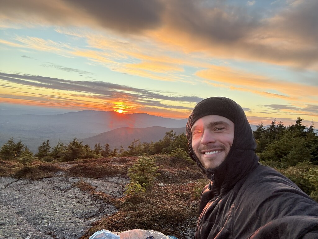
Made it to the summit of Saddleback up the ski trails and AT. I checked the weather and decided it was the perfect chance to try cowboy camping for the first time. It was a bit windy at the summit but I found a flattish rock below the summit and out of the wind to blow up my pad and lie down.
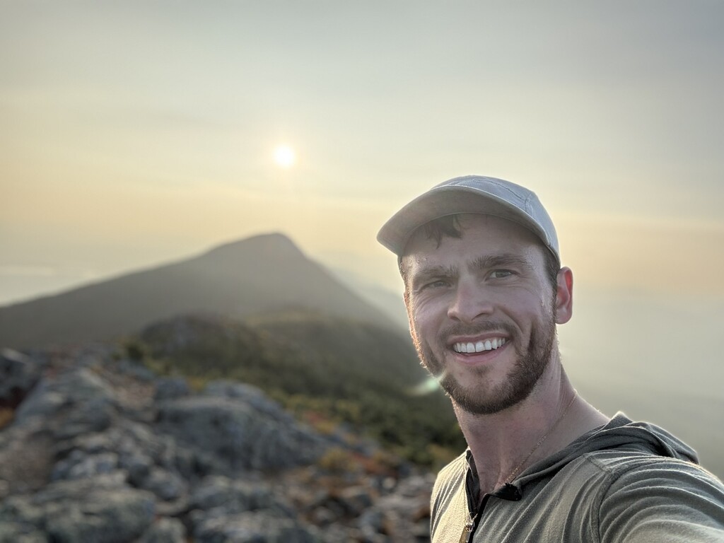
Before calling it quits for the night, I quickly hiked over to the Horn and back, with a bit of running to try to beat the sunset. Beautiful night of watching the stars. I got pretty bad sleep up there, but it was very worth it for the stars and the sunrise!
Day 2
Summits: Redington, South Crocker, Crocker
Hike: 6.3 miles, 2,044 ft gain
Bike: 25.2 miles, 3,234 ft gain (Lots and lots of this was hike-a-bike though!)
Woke up early, packed up and headed down Saddleback back to my bike. Had a few ideas for routes to get to the Carabassett Valley from there. I really wanted a breakfast sandwich in Rangeley, but decided the XC trails through Saddleback looked too fun to pass up. I was right, and this part of the morning was a blast.
When I got down to Rangeley Road, I realized my rain jacket/gloves, which I had strapped to my seat bag, was missing. Turned back to look for it a mile back where there was some denser brush along the trail, but didn’t find it and decided to just move on and grab a poncho and gloves from a store when I could.
The next route decision was a questionable one. I could have taken Stratton Road (all pavement I think) to the town of Stratton, gotten some town food and made it to Caribou Pond pretty quickly. Instead I decided to check out the Redington Forest ATV trails and attempt to connect all the way to Caribou Pond, despite seeing no gravel bike tracks on Strava in this whole area.
The next 15 miles were quite a doozy. Two miles in, the riding was fine so far, and I spotted the only folks I would see back there all day — two ATV riders coming the opposite way.
“Good luck buddy, you’re doing great!” one of the ATVers yelled, giving me a bit of a sarcastic tone. This was a fairly ominous moment. Pretty much knew I was probably fucked at this point, but decided to go for it.
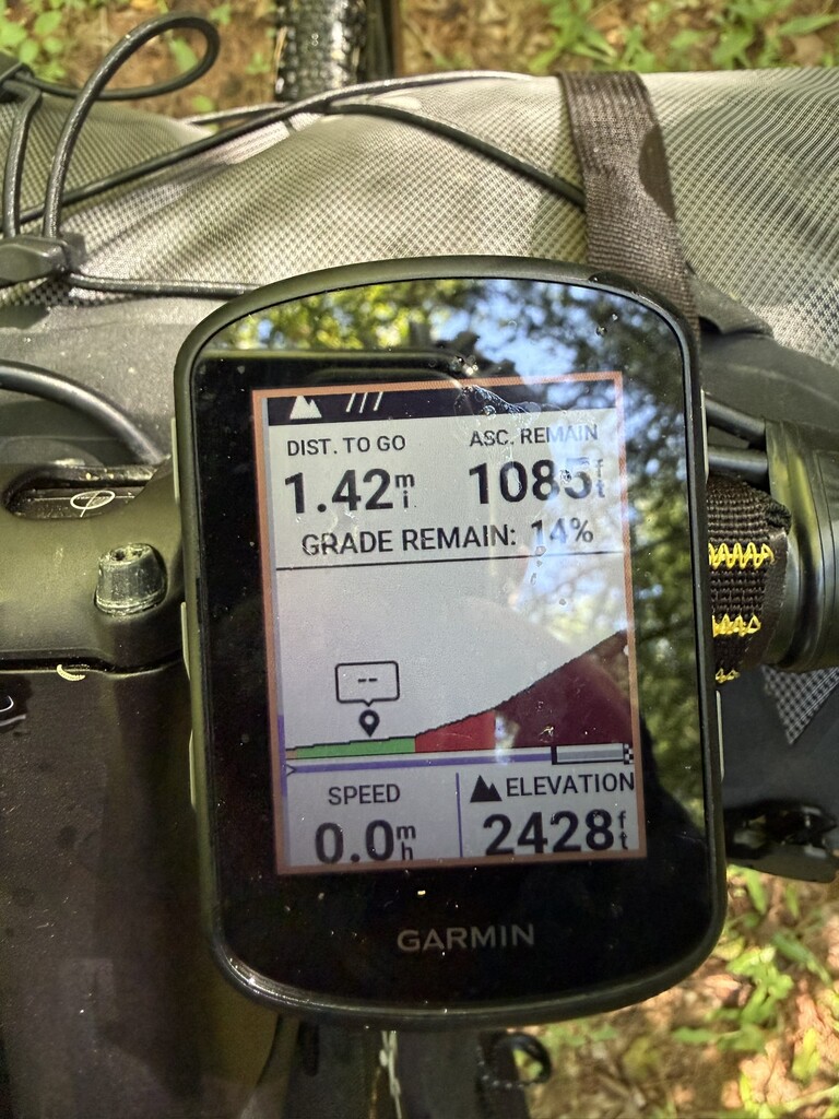
About 7 miles into this section, things stopped being bikeable. Encountered very chunky roads, thick brush, broken bridges, river crossings, and ultimately a 20% grade push for a mile to get to the traditional Redington bushwhack cutoff at 3,500’. It was extremely exhausting pushing the heavy bike through this terrain, but I just took it one step at a time and tried to keep making progress.
Upon getting there, I felt like I had been in the backwoods for days. The area I went through is definitely very seldom-visited and felt extremely remote. Once I got up to the cutoff though, I immediately encountered a family who was very confused how/why I had gotten a bike up there. I can say with 100% confidence that this was the hardest part of the trip, and probably cost me about half of a day, but it was also one of the most exciting adventures I’ve had on a bike and definitely was in line with my goal of getting off the beaten path!
I parked my bike, hiked up and down Redington, then up South Crocker and over to North Crocker as well. In the saddle between the Crockers, I realized I was pretty low on water, but thankfully two section hikers, Butternut and Mosey, were kind enough to provide some of their own when I mentioned that I was low.
Was feeling extremely tired coming back to my bike, and decided I would head to Caribou Pond, hopefully riding the bike downhill, and set up camp before making a next move.
The trip down to Caribou Pond ended up being mostly hiking the bike again, but it was generally downhill. Set up camp and ate, then decided I wasn’t going to do any more activity for the day, despite it being only like 3:30 pm, because there was some more potential bushwhacking ahead. I ended up falling asleep before 7pm and got some much needed rest after poor sleep the prior two nights.
Day 3
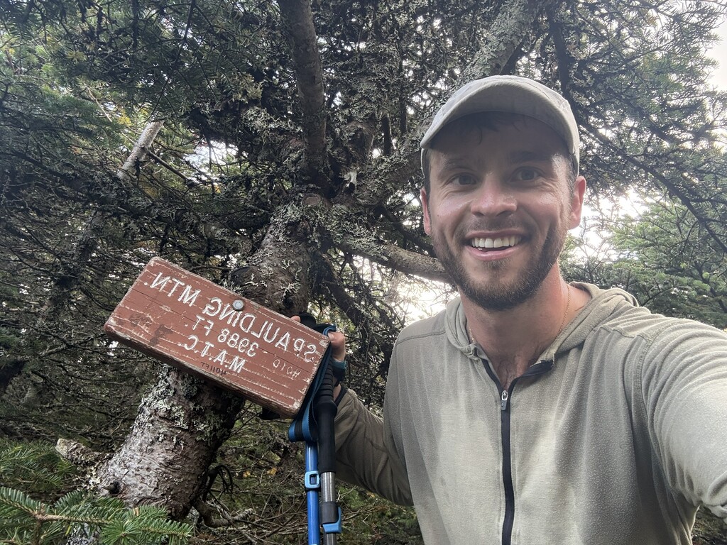
Summits: Abraham, Spaulding, Sugarloaf, Bigelow – West Peak, Bigelow – Avery Peak
Hike: 22.9 miles, 6,593 ft gain
Bike: 13.4 miles, 432 ft gain
Finally had a good night’s sleep. Woke up and felt pretty energetic. My planned route was up the “Mt Abraham Side Trail A” to the AT, along the AT / visiting the summits via out-and backs from the AT, and then a line marked on the map that appeared to go pretty directly from Sugarloaf back to Caribou Pond.
Quickly realized that the “Mt Abraham Side Trail A” had been abandoned and was mostly a bushwhack, which wasn’t too dense most of the time, until the very end when my GPS was telling me I was like 10 feet from the AT, but there was zero evidence in front of me that this was true. Nevertheless, I kept trusting the GPS and popped out on the AT, not seeing it anywhere until my feet touched the trail.
My first steps back on the AT after that bushwhack felt incredible. I gave actual kisses to the first few white blazes I saw. The out-and-back to Mt Abraham from the AT was uneventful, but brought back memories from hiking it for the first time only a few months earlier in the freezing rain with Commando. It was cloudy still and didn’t get many views this morning, but it was still a much better day to be up there than last time, though I did miss Commando.
Stopped to eat a Knorr rice side and chicken packet (my go-to on this trip) after getting back to the AT intersection, when thru-hiker “Tentstake” showed up and seemed very excited to meet a former thru-hiker, asking me tons of questions about logistics for the rest of the way in Maine.
Tentstake and I shared the next mile or two along the AT to the Spaulding lean-to where she stopped for water and I kept moving. We ran into hiker Bluebird there, who was finishing her 2025 hike and I had met in VA on the AT last year!
Continued along the AT alone after that, leap-frogging and chatting with thru-hiker Do good until the Sugarloaf intersection. Spaulding out-and-back was quick and uneventful. Spent some time on the summit of Sugarloaf chatting with a day hiker.
To get to the line on the map that appeared to go from near the AT to Caribout Pond, there was a bit of a gap between that line and the AT. This part was an extremely dense bushwhack and had a hard time getting between tree trunks a few times! But I finally popped out on a herd path, which appeared to be a moose trail and was through a really beautiful part of the forest.
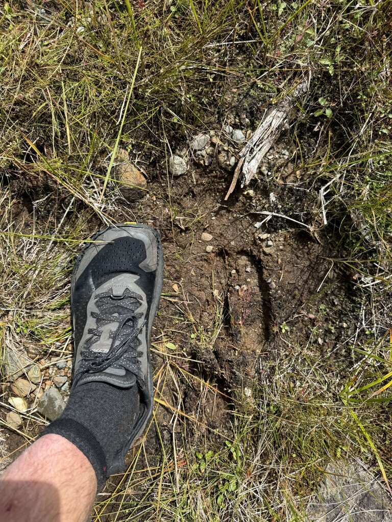
The ground here was quite mossy as well as covered in moose poop and tracks. Definitely smelled moose odor a couple times, and kept my eyes peeled, but never saw one. The trail went back-and-forth from pretty open forest/herd path to dense bushwhacking, before eventually spitting me out back on the doubletrack road by Caribou Pond where I started the day. I felt pretty excited to get back on the bike after all that bushwhacking and get to a grocery store for some food and a resupply.
It felt amazing just coast mostly from Caribou Pond down to Route 27, where I stopped at Mountainside Grocers in Bigelow. Ate a meatball sandwich and organized a tortilla-eating contest with some thru-hikers in the parking lot. We all agreed that full packs of 10 tortillas felt like too many to carry, so we had to dispose of them somehow. Good times.
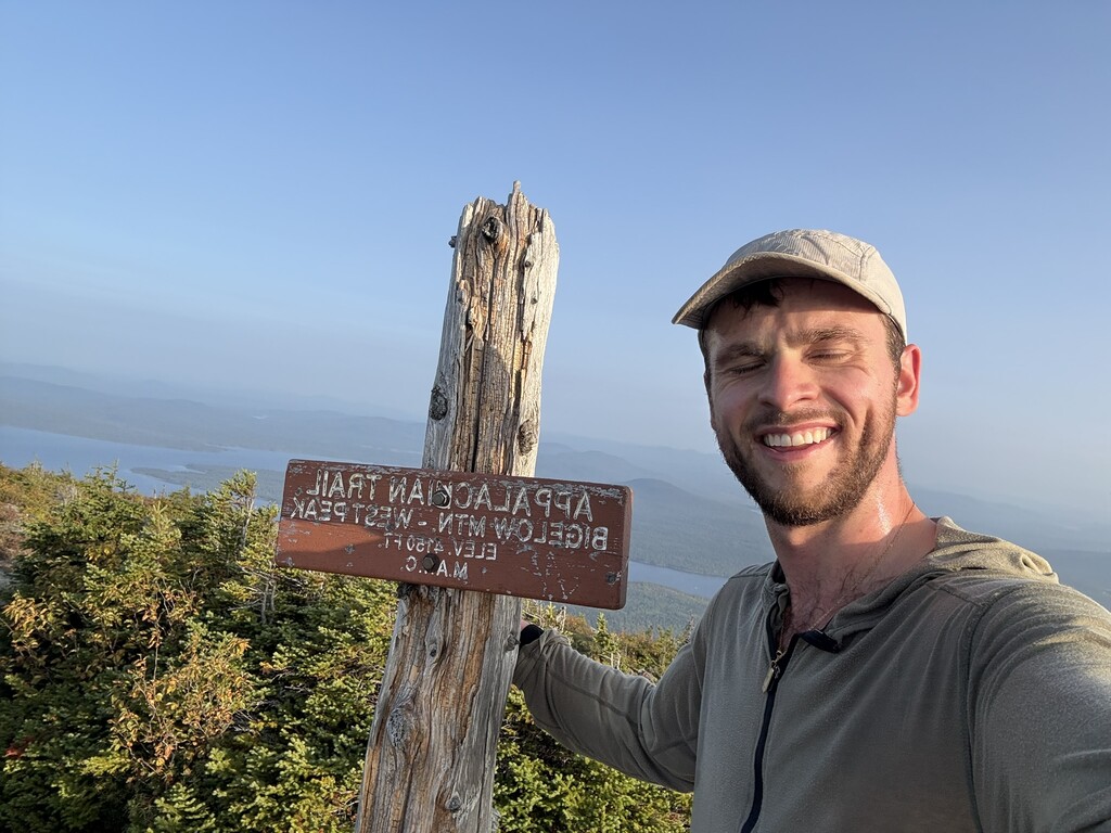
Hopped back on the bike to get to the Stratton Brook Road campsite at the bottom of the Fire Warden Trail, where I set up camp. Decided to go up the Bigelows that evening, knowing the last part down would be in the dark. Was a beautiful evening up there, with such a cool perspective on the sun lined up over West Peak when looking at it from Avery Peak. Made quick work of this hike and got back down to camp in the dark with plans for a big ride the next day.
Day 4
Summits: None
Hike: None
Bike: 157.9 miles, 6,988 feet of vert
Woke up to an incredible sunrise over the pond on a very cold morning. Soaked up the view while I ate some oatmeal and got ready to sit on the bike all day. The goal for the day was simple, if slightly ridiculous: ride all the way across Maine to Millinocket.
Made a quick stop at the AT intersection with Route 27 and said hello to thru-hiker Two Bags and a trail angel who was already setting up some magic for the day at 7am, then another quick stop at Mountainside Grocers to buy some hand-warmers. I bought a poncho and some dish gloves from there to replace my lost rain jacket the day before. With how cold it was, and some rain in the forecast, I was prepared for a pretty miserable day.
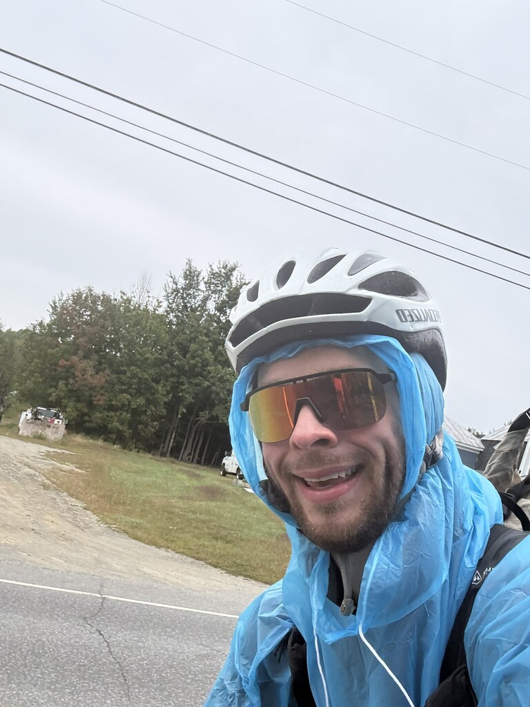
Felt a couple raindrops in Kingfield, where I stopped and threw on my poncho. Then, it didn’t rain the rest of the day, probably because I put the poncho on.
Rode a cool ATV trail all the way from Kingfield to Bingham, with a Kennebec River crossing on the way. Stopped in Bingham for coffee and a breakfast burrito at a grocery store.
While sitting in a handicap cart in the cart bay enjoying my burrito, one woman walked by and said in a smoky Mainer voice “you’re tough,” to which I responded “you’re from Maine; you’re tougher” and got a good laugh from her.
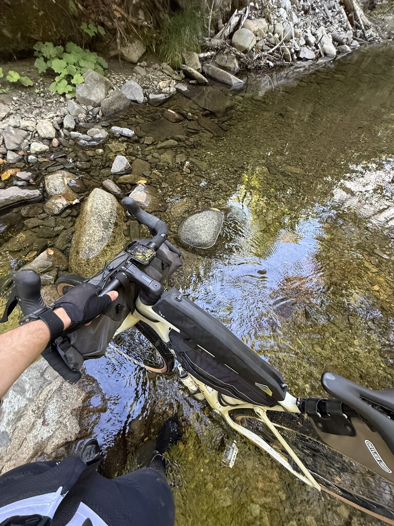
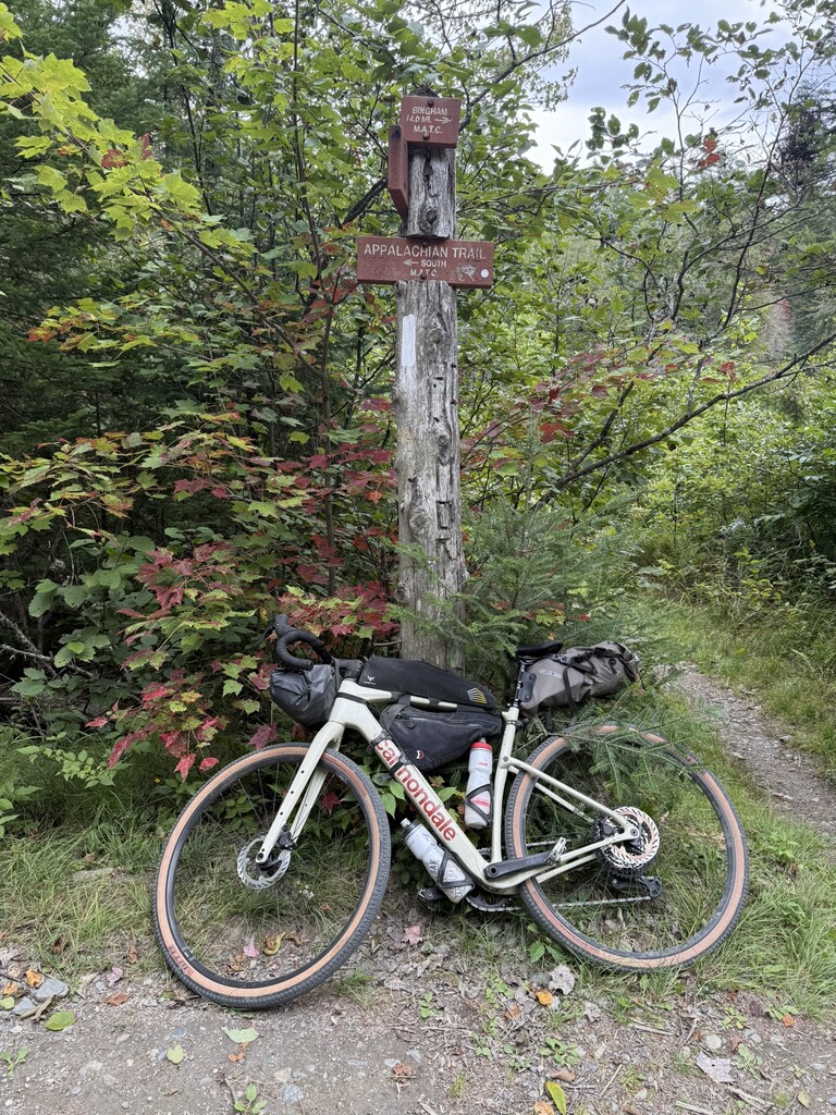
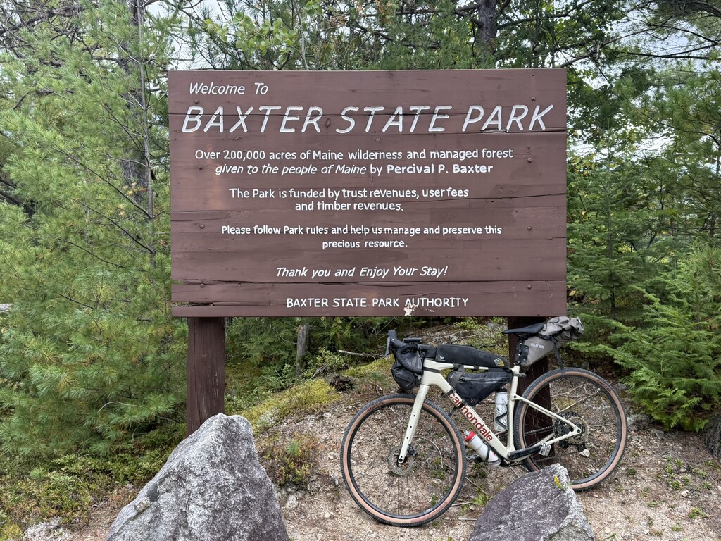
Hopped back on the bike and had a decent climb on Deadwater Road, which ended up being some really fun riding. Crossed the AT by Moxie Pond, where I stopped to take a photo of the bike, and a couple who owned a camp nearby stopped to ask if I was okay. I told them I was fine, trying to make it to Millinocket that night, to which the man said, “I don’t think you’re making it to Millinocket tonight but good luck.”
Before he said this, I was open to stopping a bit earlier, but now I was definitely making it to Millinocket that night. I ran the numbers and thought I could get there right at sunset if I kept moving.
The next section on Shirley Tote Road turned out to be the toughest riding of the day, but Greenville was on the horizon. Made it to a gas station in Greenville where I got some water, ate some snacks from my pack and rested for a few minutes. Watch read just over 100 miles when I got to greenville
I knew the next section was on Katahdin Ironworks Road and that it would be intersecting the AT’s 100 Mile Wilderness section, which is near and dear to my heart (my first multi-night trip ever!). I was expecting this road to be pretty rough and technical gravel, but it turned out to be quite smooth, which felt great. Had to stop on the way to get a permit and again at the end of the road to deposit it.
Met my first fellow bikepacker of the trip on this road, a guy with a hardtail mountain bike and very basic gear setup (a handlebar bag and a basket by the seat) who was riding from Canada to Key West. Forgot his name, but it was cool to chat for a bit. Also ran into Michael from Shaw’s Hiker Hostel, who I ran into in the 100MW last year too, doing a food drop for someone in the 100MW.
Eventually made it to Davis St, where I knew it was only about 30 miles of pavement to Millinocket. Pavement felt fantastic after being on gravel most of day. Called my dad for a bit on this section and was really starting to feel how far I had ridden that day.
Eventually cruised into Millinocket at dusk and went straight to the McDonald’s, where I devoured 2 Big Macs, one Filet-O-Fish, two large fries, and a large M&M McFlurry. Stomach felt pretty horrible after that. Originally thought I’d try to camp somewhere in town, but decided it would be better to just get a motel for the night. So, got a room 0.5 miles down the road at the Pamola Motor Inn, where I met two more thru-hikers who had finished their journey that day.
Got my room, took a bath, and set the goal of finishing the trip tomorrow, which I knew would require an early wake-up.
Day 5
Summits: North Brother, Katahdin – Hamlin Peak, Katahdin – Baxter Peak
Hike: 21.7 miles, 8,338 feet of vert
Bike: 36.0 miles, 2,142 feet of vert
Forced myself out of bed and onto the bike. My butt hurt so badly on the bike, but 30 miles to the Marston Trail sounded attainable. It ended up being the type of ride where the downhills felt uphill though.
Was a bit concerned getting a permit to summit Katahdin that day, but the ranger Shaylee at Togue Pond was very helpful and got me in without any problems, as well as a campsite for the night at Katahdin Stream.
Had one of the biggest climbs up the Park Tote Road after the ranger station, but eventually made it to the Marston Trail, where I was very excited to be off the bike.
The trail up North Brother was quite wet but felt extremely smooth and easy. It’s interesting how fatigued I felt on the bike but how fresh I felt hiking! Didn’t see anyone on the trail til I was almost back down to the lot.
Ate another Knorr/chicken packet delicacy with some tabasco when I got back down, then biked over to the Hunt Trail. I started heading up Katahdin at 1:30pm, which felt very unusual, since all of my past visits to this mountain have been on early mornings.
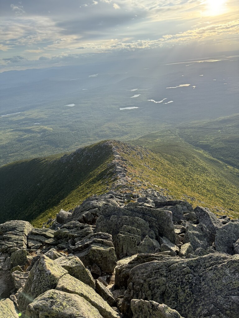
I felt really strong on the climb and was above treeline before I knew it. It was extremely windy up high, and I didn’t see anyone else up there, which was unsurprising given my late start.
Dropped my pack about half a mile before Hamlin so I could quickly bag that one before pushing to Baxter.
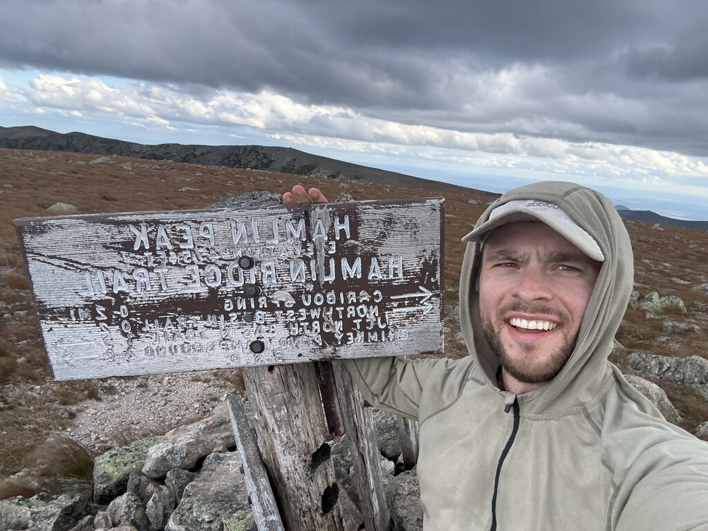
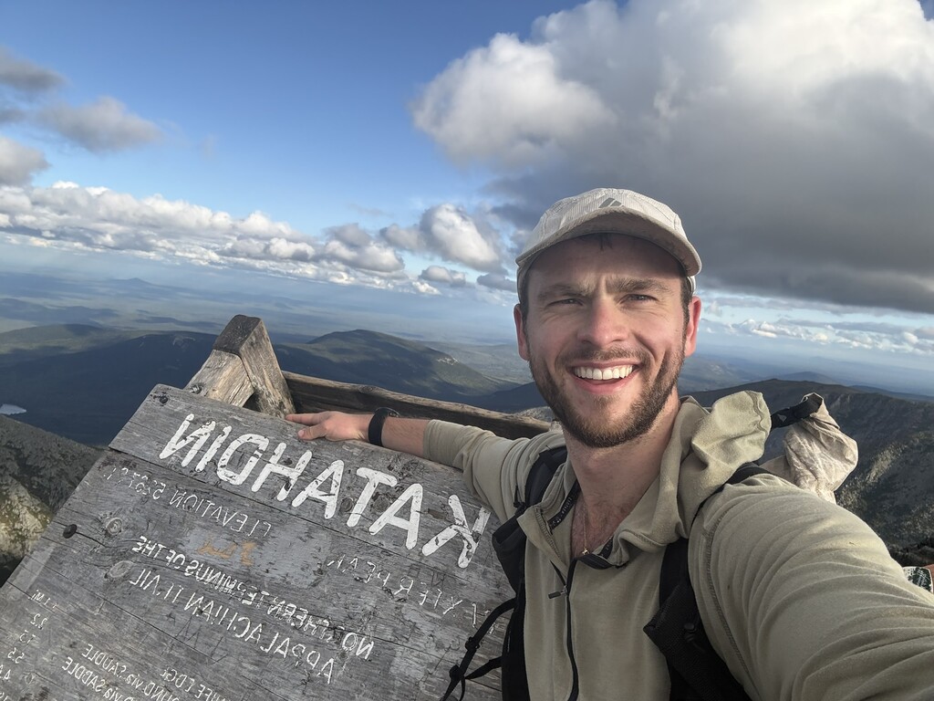
I pushed my way to the Baxter Peak summit, dropped my pack and stood on top of the sign. Always feels amazing to get to the top of this one, truly the crown jewel of New England, and I reminisced on all the good memories I’ve had at that summit, including the end to my AT thru-hike last year. Felt very accomplished to have finished another adventure in this place.
Only spent 10 minutes up there so I wouldn’t be caught above treeline in the dark. The Tableland section felt like it took awhile, and the wind really picked up, but I felt smoother than ever once I was descending the technical rocks. I was quickly back in treeline.
Only needed my headlamp the last mile or so, got back to my bike, set up camp and ate all of the remaining food in my pack.
This was easily one of my favorite adventures I’ve ever done. It combined pretty much everything I love about Maine: big mountains, empty gravel roads, questionable route choices, unexpected encounters, and plenty of Type 2 fun.
I’d love to see someone else take a shot at the route someday. I think it could be done significantly faster, probably somewhere in the 60-hour range if someone really pushed it and took more efficient routes on the bike and did more running.
Thank you's
Christopher “Commando” Walkin – for hyping me up before this, convincing me this was a good idea and generally just being a great dude. Probably wouldn't have finished my New England 67 earlier this summer if he hadn't pushed me up Abraham and Redington on quite possibly the worst weather day of the year in June. Also credit to him for the “Maine, the way bikes should be” title. Man is full of quotes
Lance Parker – for the inspiration for this ride form his VT 4000-footer link-up and helping me get fit on the bike this winter!
Miss Janet – for the spontaneous ride from Millinocket back to my car at Grafton Notch when I finished!
All the Mainers out there- thank you for keeping Maine wild. What a special place you live in. Y’all are tough
Gear and Food
Canondale Topstone 3 Carbon Gravel Bike
Hyperlite Aero 28 backpack
Ortlieb 16.5-liter seat pack
Apidura Expedition Handlebar Pack
Revelate Designs Sandur Bike Frame Bag
Apidura Racing Long Top Tube Pack
Altra Olympus 6 trail runners (kept in backpack while biking)
SH-XC703 bicycle shoes
Black diamond z-poles (kept in backpack while biking)
Zpacks Plex Solo tent
Nemo Tensor Elite pad
Zpacks 32-degree quilt
Garmin Edge 540 bike computer
Garmin Enduro 3
Clothes, toiletries, bike repair kit, other small electronics and lots of other pieces of gear, but above are the big ones!
Fueled with tons of gels and tailwind on the bike. Started the trip with 35 gels, a variety of brands, and a full bag of Mandarin Tailwind. Ate like 30 of the gels but only used about a third of the bag of tailwind which was unnecessary weight. Had a couple Peak Refuel freeze dried meals for dinner, and packed food out of town when I could. Also had oatmeal and bobo bars.