Skye Trail Event Report Saturday 26th-Sunday 27th March 2022.
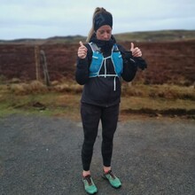
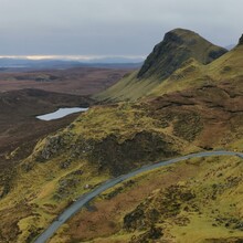
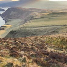
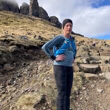
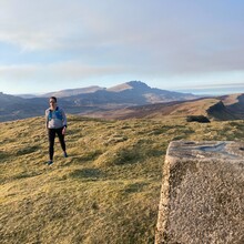
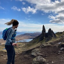
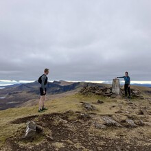
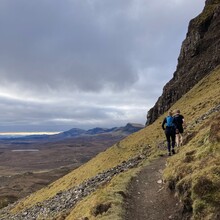
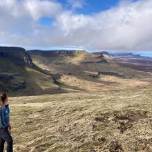
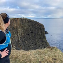
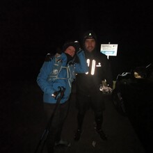
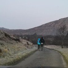
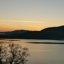
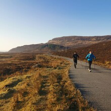
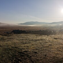
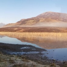
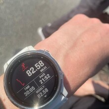
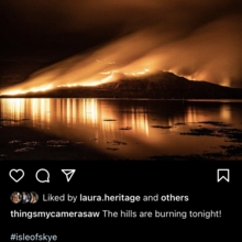
FKT undertaken from north to south of the route. Commencing at 06.08am. It is of note that the clocks moved forward an hour to British summer time at 01.00 am to 02.00am on Sunday 27th. The route was completed in 30 hours 5 mins and 30 seconds. Garmin Fenix 6S recording the distance as 82.58 miles whilst published route followed was 79.03 miles. I believe this route was mainly set digitally by simply connecting points of interest such as summits and other areas of geographical interest as supposed to submitting a previously travelled route keeping to paths and runnable surfaces. As such there are areas of the route which were shadowed without being able to stay on the exact line of the GPX trace published by FKT. The Skye Trail is completely unmarked. The whole course required navigation, there are no sign posts or other indicators. Approx 65% has no trail whatsoever and requires rough running through bogs, common grazing lands, rocky terrain and clifftop paths with significant erosion. The weather was dry and bright throughout which provided excellent visibility through the Trotternish Ridge section which can notoriously be covered in low lying cloud making safety and navigation very challenging. Temperatures ranged from 2 degrees celsuis overnight to highs of 16 degrees celsuis on Sunday 27th. Skye is currently in the season of Muir Burning- a tradition in which farm owners burn large areas of land to burn off long grasses and heather. In the 3 days prior to the start of the FKT there had been several out of control burns close to the south section of the route (Sligachan Hotel CP). It was previously discussed with FKT that a diversion may be required due to safety concerns. This was not required but previously burnt land was crossed during the section from Old Man of Storr to Portree. Images included in the report show burns in the distance during the route and a section close to Sligachan Hotel at night 2 days prior to the FKT.
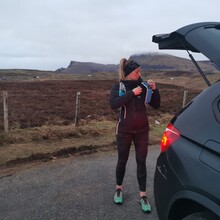
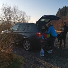
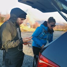
Check points provided by friends and family who brought food, water, 1st aid supplies etc. Due to unusually dry weather for this time of year I made no assumptions that water levels at known sources on route would be available. The check points were designed to provide roughly equal distances for each section for the purposes of recruiting pacers and ease of access for parking. I did not require any additional check points.
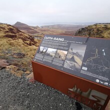
CP 1: Quiraing car park
CP 2: Old Man of Storr car park
CP 3: Scorrybreac car park (Portree)
CP 4: Sligachan Hotel
CP 5: Elgol
CP 6: Bla Bheinn car park
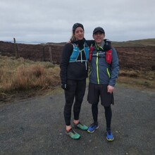
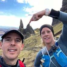
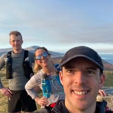
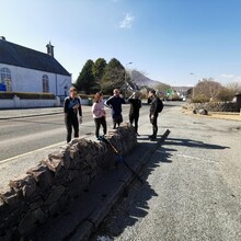
I was joined on the FKT by several friends listed below:
Start to CP 3: Andrew Coombes Paramedic, Daniel Elliot Royal National Lifeboat Association boatman and both members of the Cuillin Dubh Hill Running Club.
CP 3 to CP 4: Laura Heritage- HR manager and Georgia Coombes Paramedic.
CP 4 to CP 5: Nina Detlif NHS Mental Health Nurse.
CP 5 to Finish: Bernard Mac Personal Trainer

