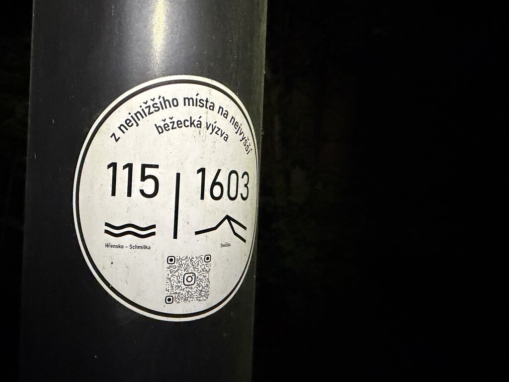
A running challenge that takes you from the lowest natural point in the Czech Republic (115 m a.s.l.) to the summit of Sněžka the country’s highest natural point (1,603 m a.s.l.). Starting where the Elbe River crosses the national border north of Hřensko, the route follows the shortest path along marked hiking trails—remaining entirely within the country—all the way to the summit of Sněžka.
The route is fixed, spans 160 km, and involves 5,560 m of elevation gain (climbing) and 4,080 m of descent.
To successfully complete the challenge, you must cover the entire distance under your own power (by running and walking) with or without a support crew within 40 hours.



Comments
https://115-1603.cz