This route combines the 3 canyons on the front face of Mount Timpanogos and 2 iconic Utah trails, along with a summit of Big Baldy (the most prominent of the Timpanogos foothills at 8750 feet). The 3 canyons from north to south are Grove Creek Canyon, Battle Creek Canyon, and Dry Canyon. The 2 iconic trails are Bonneville Shoreline Trail, and Dry Creek Trail #049 which is also part of the Great Western Trail as it passes through Utah. Bonneville Shoreline Trail connects the 3 canyon trailheads across the lower portion. Dry Creek Trail #049 (Great Western Trail) connects the tops of the 3 canyons on the upper portion.
Total distance is 19.42 miles with total elevation gain of 7,034 feet. The Canyons are steep and rugged, but definitely runnable. There are a few points of scrambling over mild boulders and rock obstacles along the way, especially in Battle Creek Canyon, but nothing that becomes actual climbing or requires additional equipment. The Great Western Trail portion along the top of the canyons is a very nice single track trail for most of the way and is spectacularly gorgeous as it winds under the face of Timpanogos. And the Bonneville Shoreline Trail connecting the 3 trailheads is also a beautiful section winding along the bottom of the foothills.
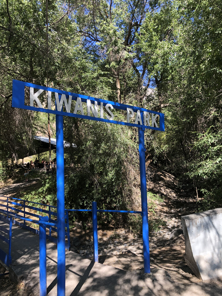
This Infinity Loop is comprised of 2 loops: Battle Creek to Dry Canyon, and Battle Creek to Grove Creek. The course begins and ends at the Battle Creek trailhead. To make it easy the starting and ending point is the south end of the foot bridge to Kiwanis park, directly underneath the sign. Kiwanis Park is directly north of the parking lot of Battle Creek trailhead.
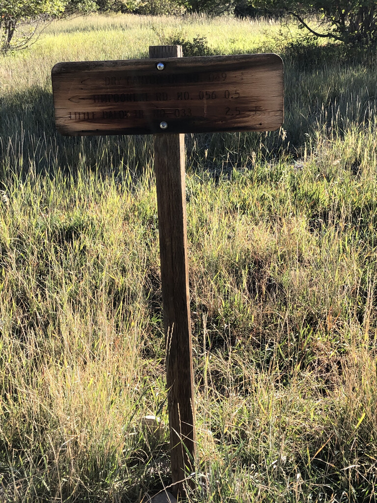
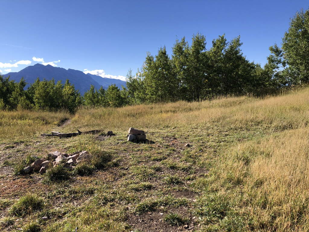
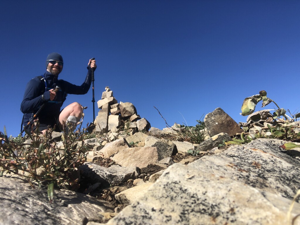
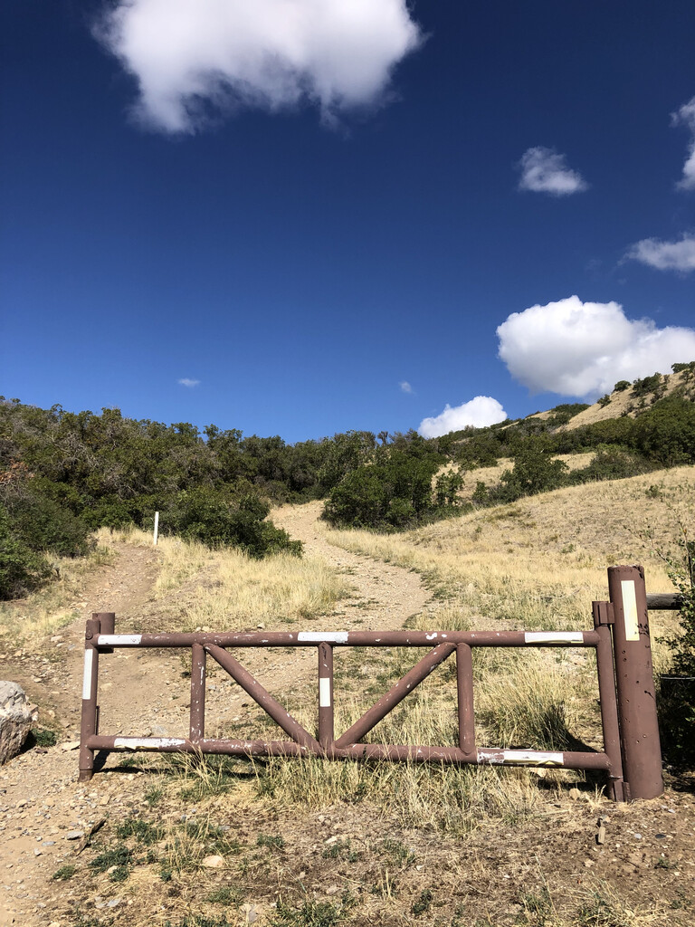
The first loop runs up Battle Creek Canyon about 2.5 miles to the intersection with Dry Creek Trail #049 (Great Western Trail). From here you'll turn right (south) and head up to the saddle of Big Baldy. The summit trail forks off to the right and is about .7 miles to the summit. There is a cairn at the top as an easy reference point. From the summit head back to the saddle and turn right (south) down the other side to Dry Canyon. It's roughly 3 miles from the saddle to the trailhead at the bottom of Dry Canyon. It's a pretty steep single track trail with almost 3,000 feet of descent over those 3 miles. At the trailhead you'll cross the parking lot to the gate on the far side. The trail back to Battle Creek trailhead is the one going diagonally up directly behind the gate (not the trail just south of it behind the sign). It's about 2.5 miles along the Bonneville Shoreline Trail back to the Battle Creek Trailhead. I recommend you scout this section out prior to attempting an FKT as there are numerous mountain biking trails that criss-cross this section and it would be easy to accidentally add mileage by taking a wrong turn onto one of the mountain biking trails.
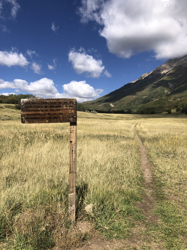
The second loop again runs up Battle Creek Canyon to the intersection with Dry Creek Trail #049 (Great Western Trail). But this second time you will turn left (north) and run to where Dry Creek Trail #049 runs into Timpooneke Rd. You'll run a short section of this road to Timpooneke-Chris Flat Trail #151 and turn right (north). Follow this trail to the intersection with Grove Creek Trail #048. From here you'll turn left (west) and head down Grove Creek Canyon. The upper part of this canyon is a nice single track trail through the trees and meadows. Once the trail crosses a small bridge across the creek and gets into the steep part of the canyon the trail is very rocky and rather high up on the side of the canyon wall above the creek. There are a couple sections of this trail that are quite narrow with very steep slides down into the canyon. Be very cautious through these sections. They aren't particularly dangerous if you are careful, but if you were to slip off the trail on these sections there isn't much to catch you from a long slide down the rocks. And a self rescue, or 3rd party rescue would be extremely difficult (probably requiring a helicopter). Once you reach the Grove Creek trailhead, cross the parking lot diagonally towards the rest room. You'll go down a small hill right next to the restroom down to Bonneville Shoreline Trail. From there it is approximately 1 mile back to the Battle Creek trailhead and the finish line under the Kiwanis Park sign at the south end of the footbridge. Congratulations!
All three trailheads have bathrooms, though the ones at Battle Creek are just porta potties at the time of writing. Only Battle Creek trailhead has water though. There is a drinking fountain at Kiwanis Park at the Battle Creek trailhead where you can fill up at the beginning of the Infinity Loop or refill before beginning the ascent up Battle Creek for the second half. Alternately, if you want to filter water from natural sources there are a few places you can do that as well. In Battle Creek Canyon the first 1.5 miles are along the creek and provide easy access to fresh water. You'll cross the creek again about 4 miles up before hitting the saddle. That's the last opportunity for natural water sources until you make it back to the Battle Creek trailhead, as there is no water in Dry Canyon (thus the name). On the Grove Creek portion of the loop you'll encounter Grove Creek Spring shortly after taking the turn onto Grove Creek Trail #048. You'll cross the creek about a mile further down on a small footbridge. From there to the trailhead you are too high up on the side of the canyon wall to access the creek.