Story
According Nikos Nezis’s book “Olympos”, published in 2003, there are 55 peaks on Olympus (Greece) with a height exceeding 2000 m. If there are so many peaks
in the summer of 2018, in the head of Michiel Panhuysen - Dutch runner and climber, an idea was born: let's connect all of those peaks into one route. This is how the idea of 55 Peak Project arose. Michiel proposed (and realized on August 17-18, 2018) route from West to East, from village of Kokinopilos to Litochoro. The route that I am descrabing here is a loop starting and finishing in Litochoro on East slops of Olympus Massive. The same 55 peaks but partly different route. And there is a lot of changes of course. First of all, the start is at an altitude of 300 m, not 1100 m. At the beginning there is also a long ascent to the first peak, when you have to cross 1800 m up. One-third of these 55 peaks are climbed in reverse order, so there are ascents and descents from the different sides.
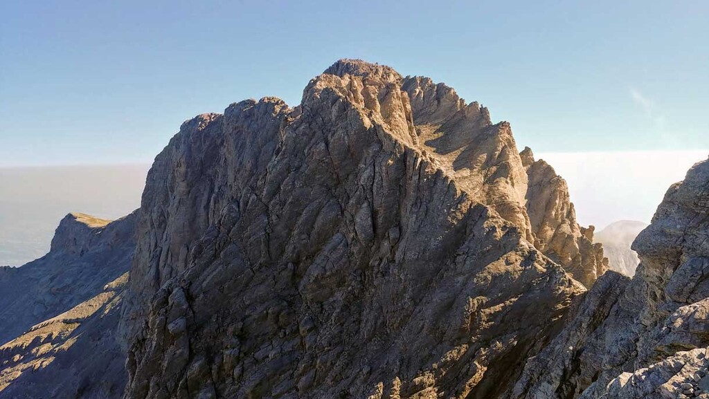
Ther most important reason why I proposed this new version of 55 Peaks is that two highest and most difficult peaks: Mytikas and Stefani are completely different in nature to the rest of the route. In order to climb them, resistance to abyss and certain climbing skills are required, especially since there are no artificial facilities there. In the original version of the route from Kokkinopilos to Litochoro, they both are position at the end of the first day, maybe even in the dark, when you are rather tired. Additionally, Mytikas would need to be climbed from the top of Skala, and descended with a much steeper road through Lukki, which should generally not be used for descent, for safety reasons for both descending person and other tourists below. In my configuration, Stefani and Mytikas are placed on the first day around noon, when you are still fresh, and the ascent to Mytikas is in the “right” direction, via Lukki. Those two peaks are like the proverbial icing on the cake.
Route
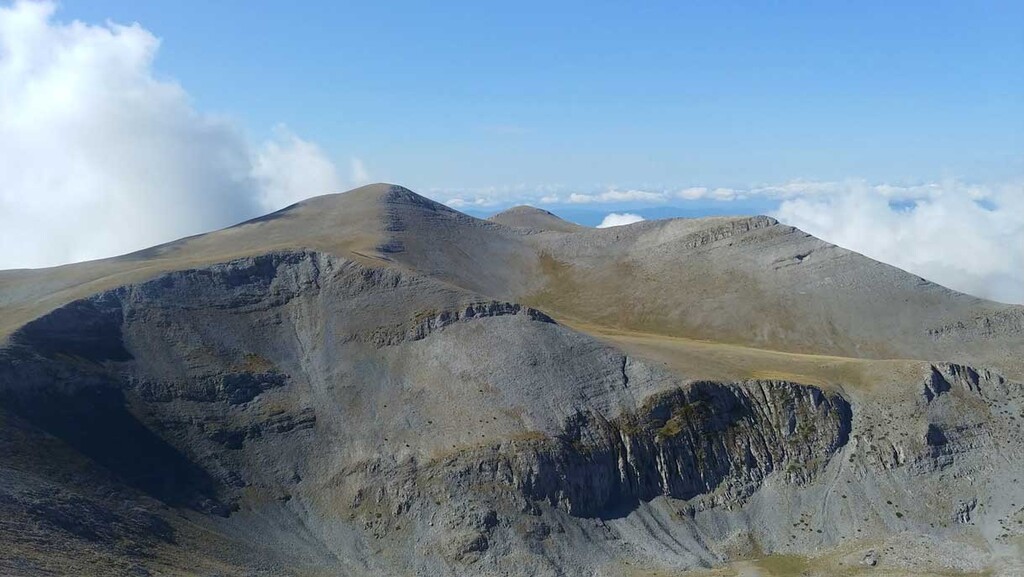
This is route of the Bob Graham Round type, so the main goal is to reach all 55 higiest peaks on Olympus, and you can take any "route" between them. The problem is that there is no route between them, so most of the course is off path and those are the main difficulties on the course. The second one is of course logistics, you have to know this terain or have a good gpx file. The route has more than 100 km and about 7500 m up, so looks difficoult but as you want to be possibly high between the peaks, there is no very big uphils or dowhills (but they are in the begining and in the end of course).
There are three real refuges open in summer season (from half om May to end of October) with drinks, food and sleeping possibielities and three additional shelters which are open all year round and you can sleep there but you can't count for any food or drinks there.
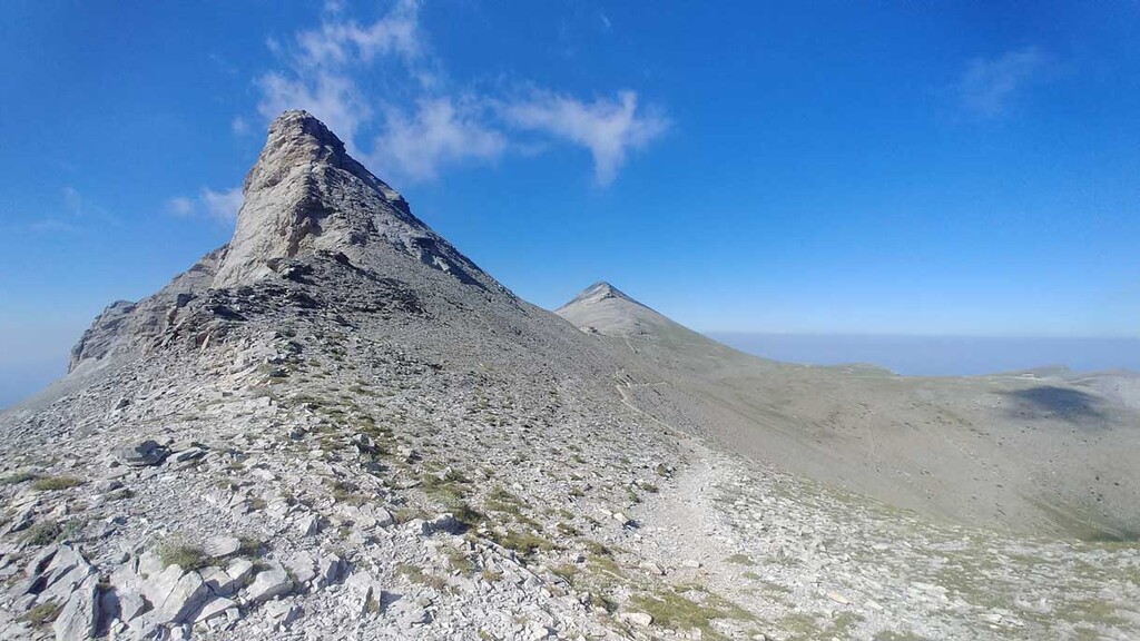
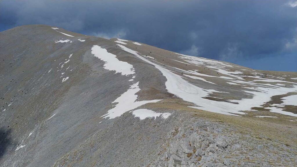
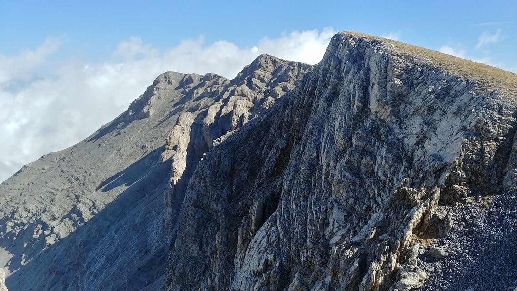
Almost all of those 55 peaks are in alpine zone, so no forrests or bushes, nothing is covering the views in all direction, but there are a lot of moving rocks. It's also good to remember that Olymus is almost 3000 m high so the snow is covering the peaks for 5-6 month from December till end of May.