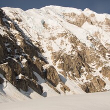
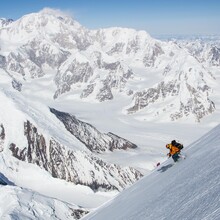
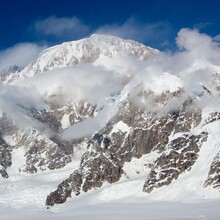
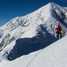
This route links the three highest summits of the Alaska Range: Denali (20,310') Foraker (17,400') and Hunter (14,573') by any route. This route is an excellent sample of all that the Alaska Range has to offer a runner, skier and climber: high altitude, complex ridge running, steep snow and ice, wide open glaciers, and three distinctly different Alaskan wilderness travel experiences. Before getting started on this trip you will need to apply for a Denali/Foraker permit. This permit must be applied for at least 60 days prior to the start of your trip. After you have received your permit and been briefed by a NPS climbing ranger in Talkeetna, FKTers will fly via ski plane from Talkeetna to Kahiltna Basecamp. The route begins and ends here although most, if not all, will start out by spending time acclimatizing on Denali's West Buttress.
The first party to complete this linkup used the Ramen Couloir on Hunter, the Sultana Ridge on Mount Foraker, and the West Buttress of Denali with slight variations but these routes are only suggestions and FKTers may use whatever routes suit them as long as they start and end at the basecamp managers tent in the southeast fork of the Kahiltna Glacier (Kahiltna basecamp). A brief description of the routes is below. All distances are measured from basecamp.
Denali, West Buttress (~31 Miles 14K elevation gain/loss)
The most well travelled of these peaks and routes. Most parties climb this route over 3 weeks using 3-5 camps although the FKT is 10hr 14min 57sec. The route follows the Kahiltna Glacier to its head at Windy Corner and into the Genet Basin at 14K. Above here the route becomes steeper and more technical and follows fixed lines to gain the16'k ridgeline. This 4th class/mod snow ridgeline leads to 17K. Some parties will camp here. From 17K the route traverses a large snow slope to Denali Pass at 18.2k'. From Denali pass travel south up rolling terrain to a 30-40deg snow slope at 19.8K. Climb this slope to the start of the summit ridge and follow this ridge east to the summit. Reverse the route to descend.
Foraker, Sultana Ridge (~12 Miles, ~16K elevation gain/loss)
A long and moderate snow climb with complex glacial navigation. From the Kahiltna Glacier climb the southeast ridge of Mount Crosson. Traverse over Mt crosson and follow the west ridge eventually turning SSW at point 12,472'. This ridge connecting Crosson and Foraker is complex and beautiful. 4.9 miles of ridge travel leads to the base of the Upper Sultana ridge at 12'K. Follow this broad ridgeline on slopes to 45deg to the 17,400' summit. To descend, reverse the route.
Hunter, Ramen Couloir (~16miles, ~ 8.3k elevation gain/loss)
The shortest and most technically demanding of the three peaks. From Kahiltna base camp, travel down main Kahiltna glacier to the Ramen Basin on the south side of the west ridge. Navigate the icefall to gain access to the upper basin. Once in the upper basin follow the steep (60deg) Ramen Couloir to its intersection with the west ridge. Follow the west ridge to the plateau at 13k. Travel southeast on the plateau to access moderate snow ramps on the south side of the summit pyramid and follow these to the summit. To descend, reverse the route. The west ridge from the Kahiltna Glacier (5.8 WI3+ M4) is classic and also recommended.


