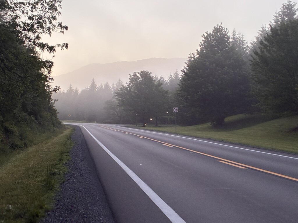
The Allegheny Greenbrier Loop is a remote and scenic course in the mountains of West Virginia. Beginning in Caldwell at the "Start of the Greenbrier River Trail," it hits the road first (Stonehouse Rd. to Route 60) to White Sulphur Springs, passing the beautifully regal and massive Greenbrier Hotel. White Sulphur Springs is where the connection to the Allegheny Trail (A.L.T.) begins. This is the NOBO Section 3 of the ALT. The entire trail is 316 miles, and online maps apart from the FarOut App are extremely difficult to find.
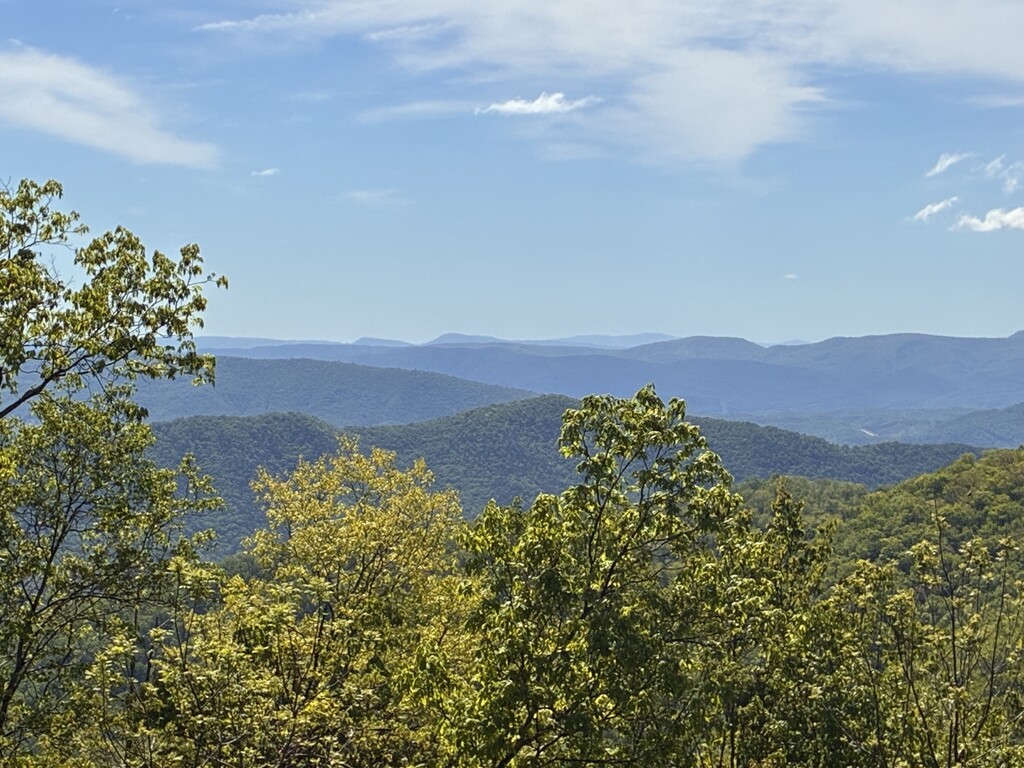
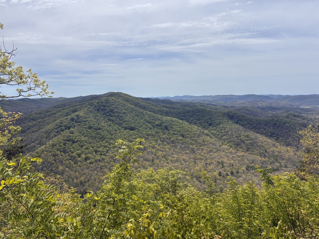
Upon completing the road, runners enter the forest and begin to ascend mountains. These trails are marked well with yellow blazes, but the path can become overgrown during warm months. There are mountain views every 7-10 miles when the leaves are on the trees. Fortunately, streams (typically decorated with rhododendron) are abundant, making drinking water easy to access regularly. Levels can fluctuate dramatically in West Virginia based on time of year, snow melt, recent storms, etc.
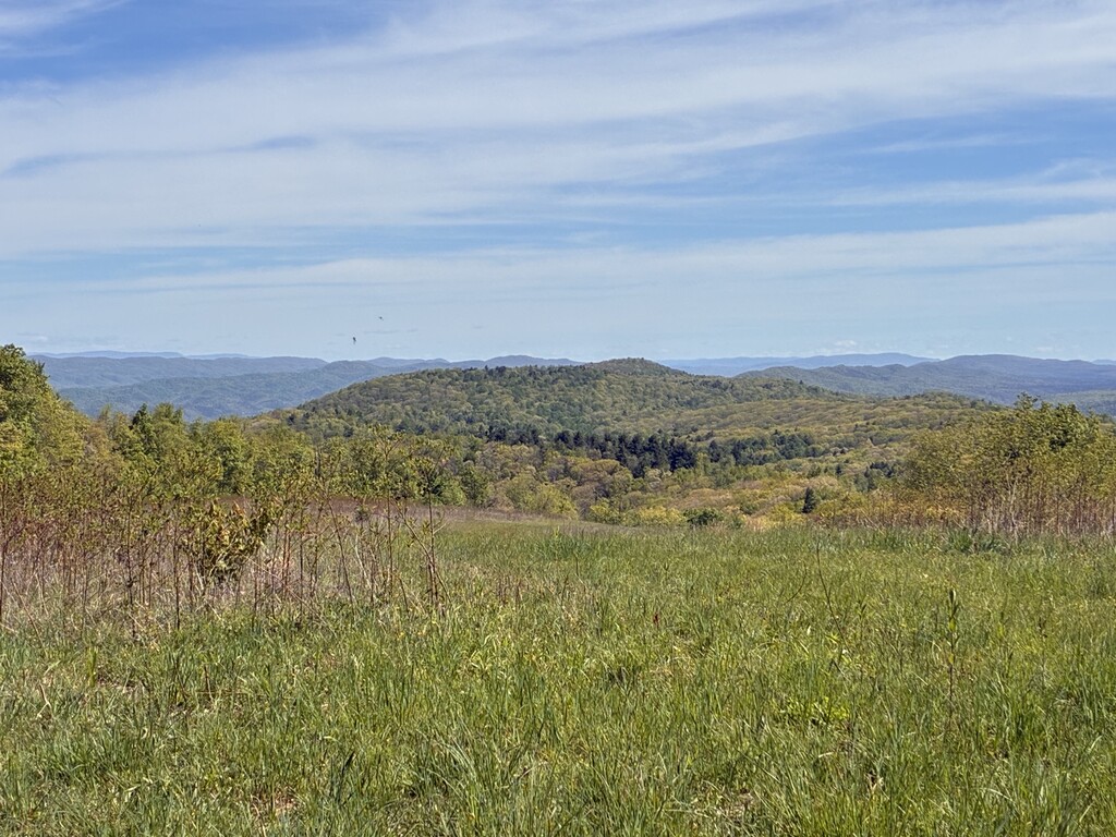
A huge draw to this trail is solitude. A hiker can travel 15-20 miles without seeing a road, and even further without seeing another person. It is spectacular to have a mountain view from an open meadow all to yourself on a 15 mile long mountain that no one else has climbed that day. After strenuous hiking and descending in the Bear Creek area (many trails are hard to run because of large, loose rocks and steep trails), the ALT connects to Marlinton, WV, a quaint river town with restaurants and amenities. This is a great place to refuel, rest, and recharge. It also is well-known for having abundant black bears.
After Marlinton, the runner completes a few miles on the Greenbrier River Trail and then ascends back into the mountains. These trails, too, can be overgrown and under travelled. The trails steeply ascend each rocky mountain, undulate on top of their ridges, and steeply descend again. Areas where the trail crisscrosses streams multiple times in a mile can be rooty, slippery, and marshy.
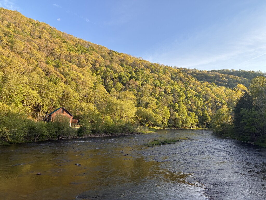
In late Spring, there are beautiful neon pink mountain laurels blooming, along with vibrant flame azaleas, painted trillium, and yellow and purple flowers lining meadowy streams for miles. After trying climbs and descent on technical trails, the runner approaches what feels like civilization and is rewarded with miles on smooth, rolling gravel roads. Epic views are available from the roads, and Thorny Mountain Firetower is a wonderful landmark. Roads wind through mountains that are close together, making each valley and hollow become easily shaded and quite dark at sunset. Finally, the runner crosses a bridge over the wide Greenbrier River and enters the tiny railroad town of Cass. This is the north end of the Greenbrier River Trail (GRT). Refueling at the country store, the route retraces itself a few miles as the runner heads back South along the picturesque river with mountains on either side. The trail offers a good opportunity to see black bears, bald eagles, foxes, possums, small orange salamanders, and large gold spotted black salamanders. The GRT is marked frequently (but not at every mile) with large obelisk marker posts.
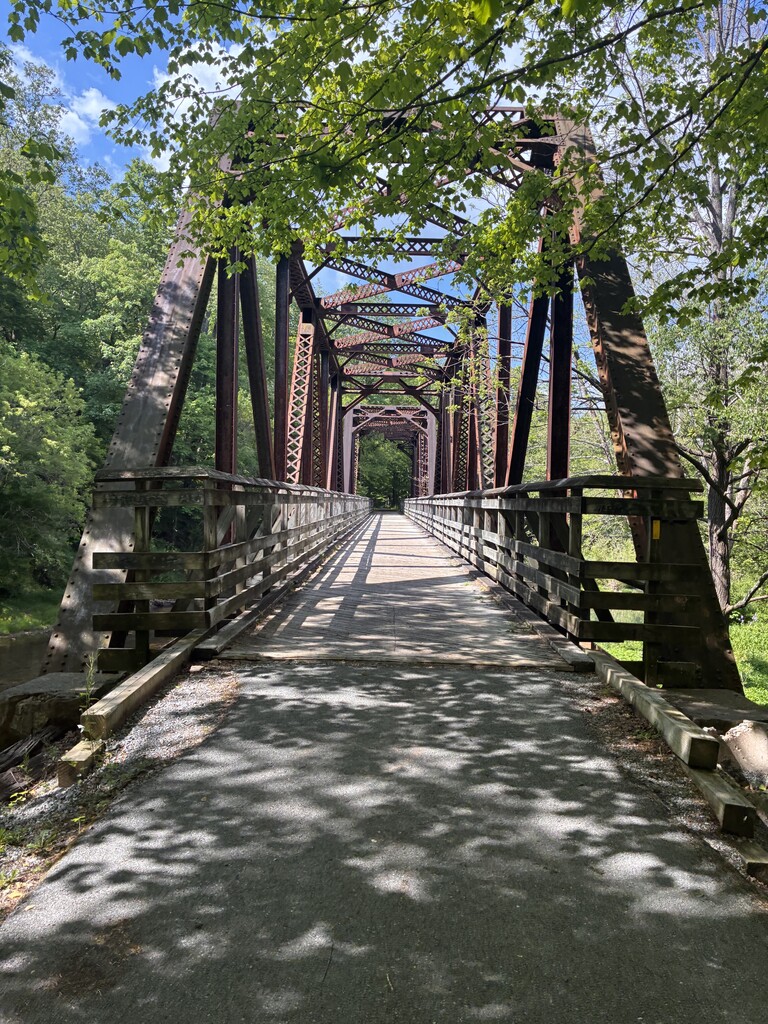
Sharps Tunnel changes scenery and cools things down for 511 feet, followed by a 300-ft long wooden foot bridge over the river which is highest in spring, with bubbling whitewater rapids offering a peaceful sound as runners pass by. It’s typically very low and stony during the other months unless a storm passes through. Toward the southern end the trail traverses farmland and meadows. Late at night, the sky is very dark, leaving a great possibility of seeing shooting stars. In due time, the runner reaches Droop Mountain Tunnel, a 400 foot tunnel that houses wooden support beams. Just a couple miles after that, the trail ends once again at the “Start of Greenbrier River Trail” parking lot in Caldwell, close to the amenities of quaint downtown Lewisburg.