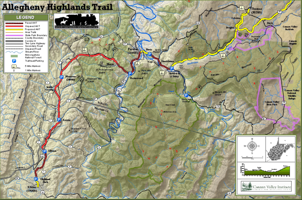
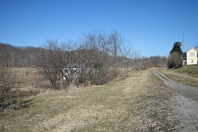
The Allegheny Highlands Trail (AHT) follows the original route of the West Virginia Central and Pittsburg Railway, built by Henry Gassaway Davis in 1884. The AHT includes 26 contiguous miles from the Railroad Depot in Elkins to Hendricks, and an additional 5 miles in Tucker County near Davis. For 26 miles this exceptionally scenic trail provides panoramic views of the West Virginia countryside, as it passes through a mountainous region with small towns and rural farmland.
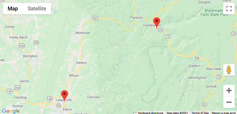
From the southern Highland Park trailhead in Elkins, the trail gradually ascends for about 15 miles, passing around Pheasant and Polecat Knob mountains. The rural views and mountainous backgrounds provide numerous opportunities for photos. Beyond the mountains, the trail starts to descend more steeply and approaches the small town of Parsons.
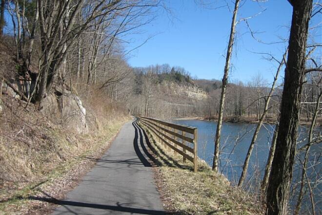
The trail crosses the Shavers Fork River on the restored Western Maryland Railroad bridge in Parsons and continues through Mill Race Park. A ramp from the park ascends to the bike lane on the Black Fork River bridge. The next trailhead is located just over the Black Fork River on the eastern side of US 219. The remaining section is paved and follows the beautiful Black Fork River to the community of Hendricks.
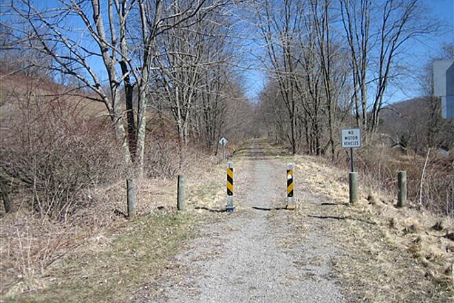
The railroad grade, not presently developed as part of the AHT, continues north of Hendricks in the beautifully scenic Blackwater Canyon to Thomas. Be warned: it’s steep.
https://wvrailtrails.org/rail-trail/allegheny-highlands-trail/