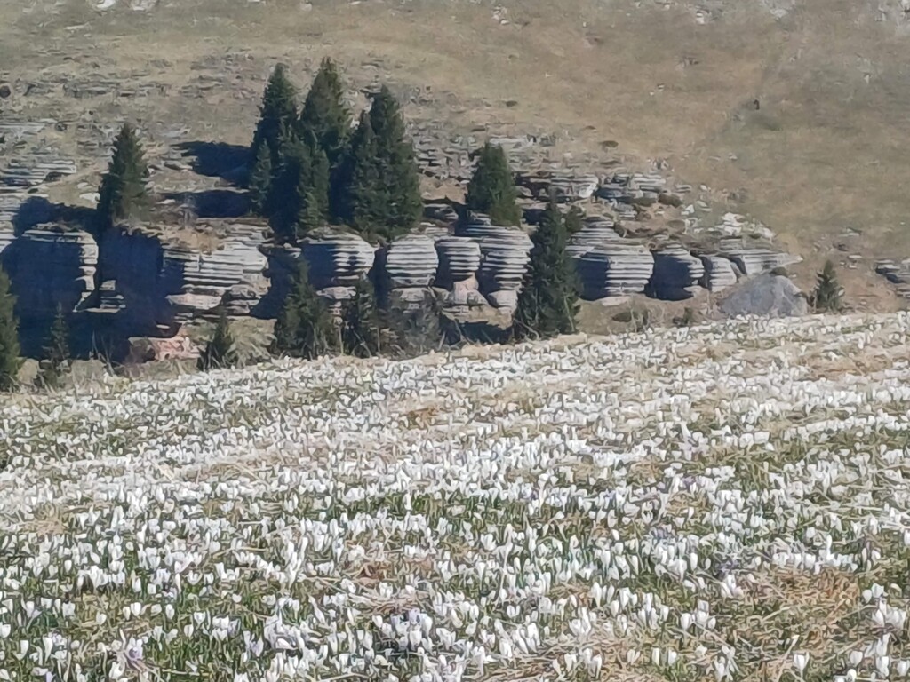
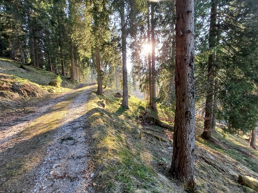
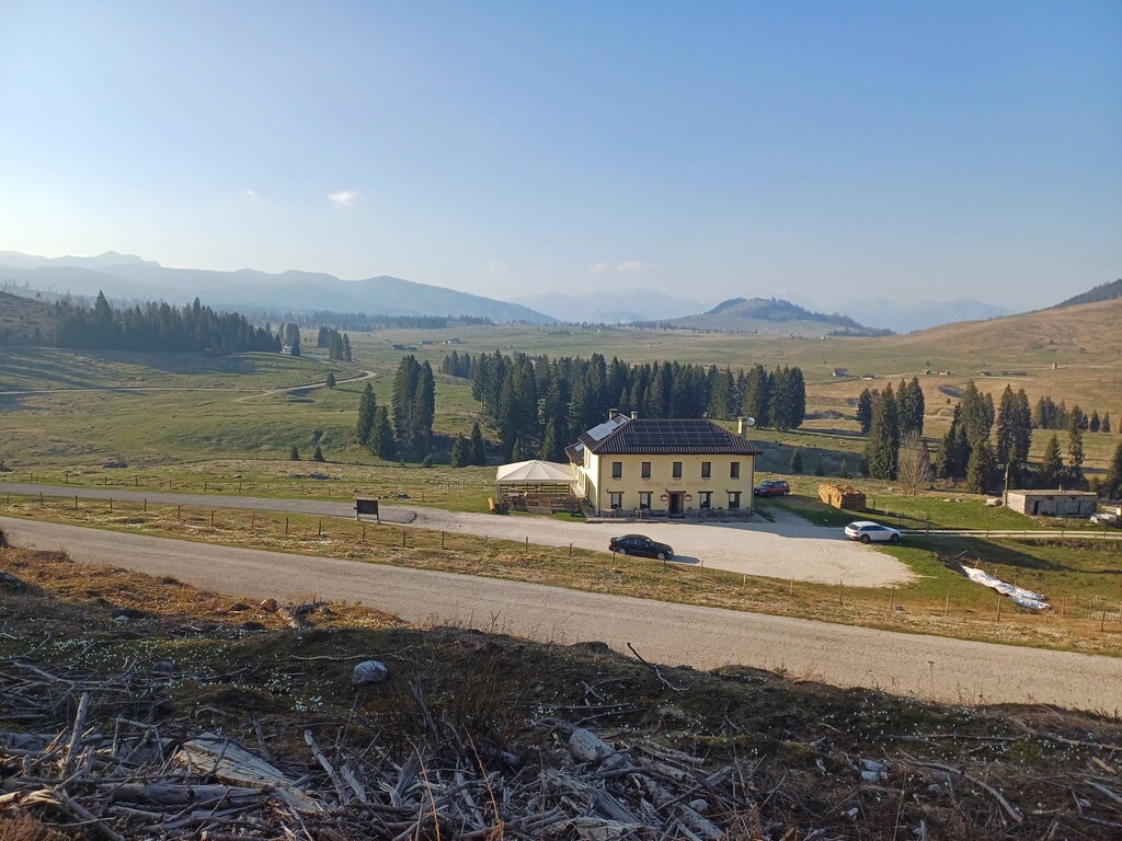
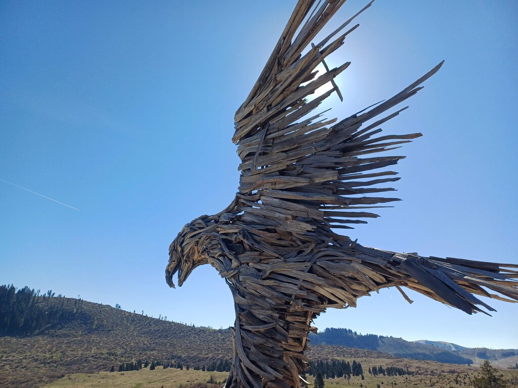
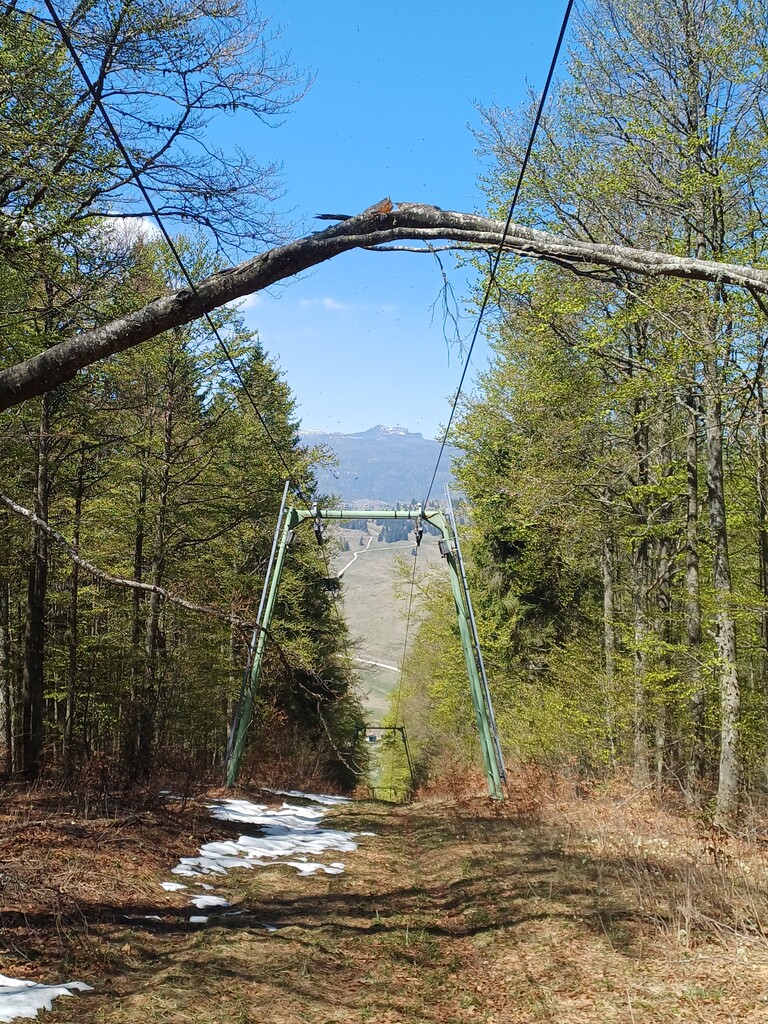
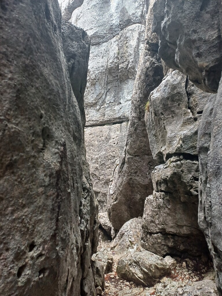
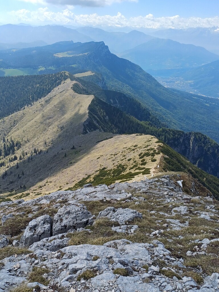
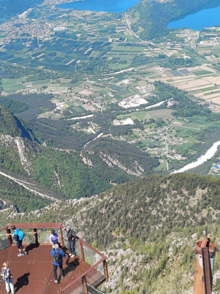
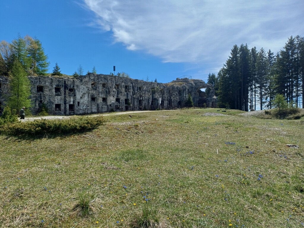
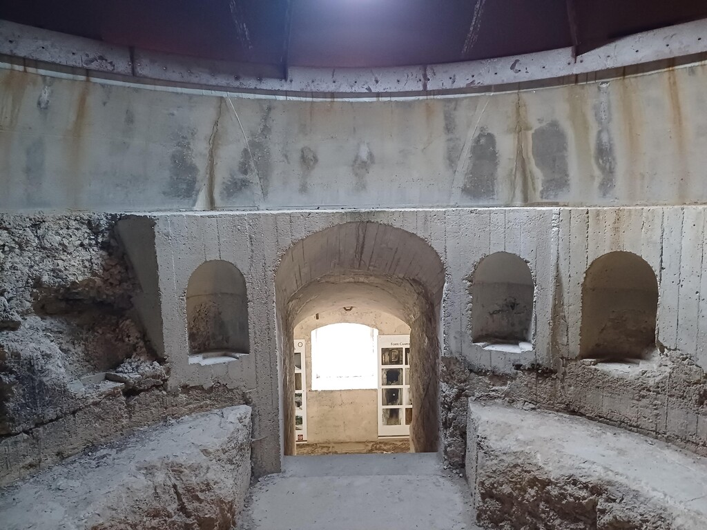
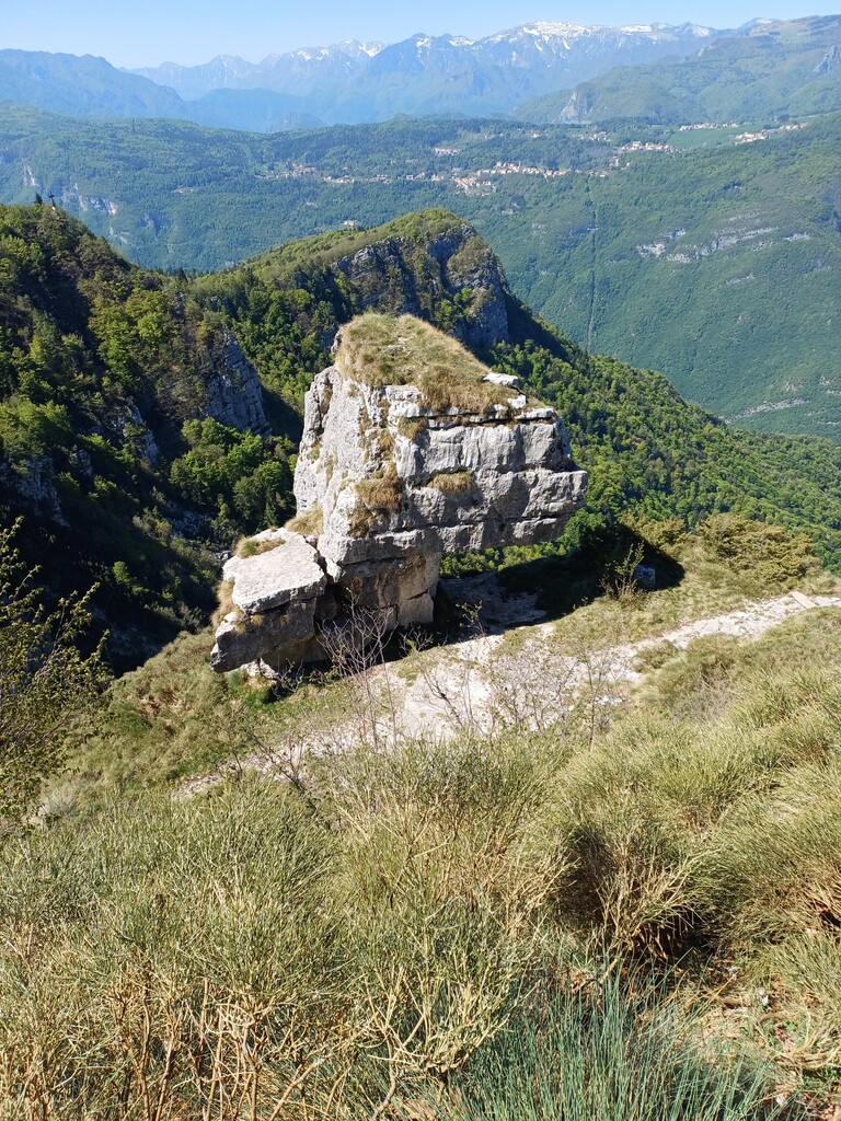
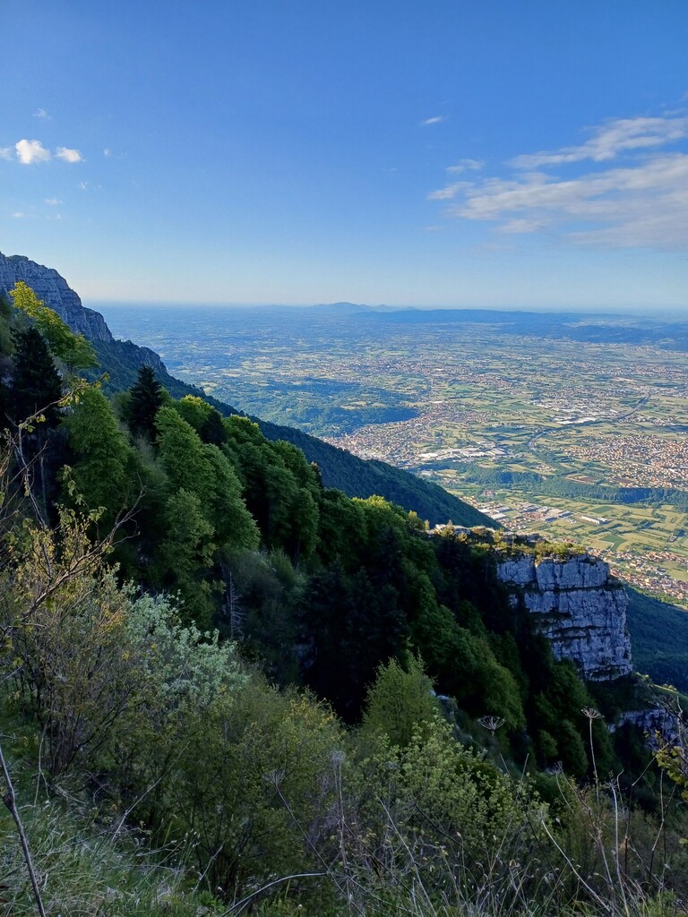
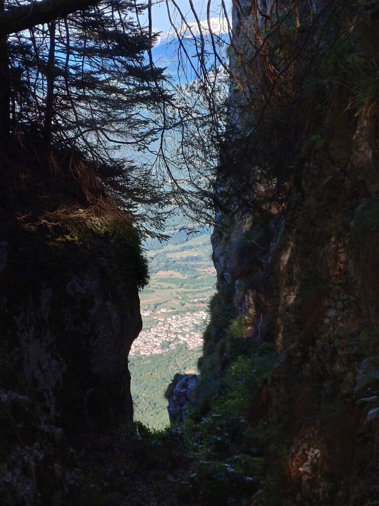
L'Altavia dell'Altopiano dei 7 Comuni - AVA7C - è un percorso ad anello di circa 150 km con 7000 m+ che permette di compiere il giro completo dell'altopiano mantenendo più possibile la traccia lungo il bordo dei rilievi perimetrali seguendo in parte sentieri ufficiali segnati, in parte altri sentieri, di cui alcuni poco frequentati e anche alcune brevi tratti senza sentiero.
Il percorso è stato ideato in senso antiorario con partenza e arrivo presso Bocchetta Granezza a sud, ma può essere percorso anche in senso opposto.
Il tracciato tocca molti dei luoghi caratteristici e imperdibili del territorio e si propone come vero e proprio viaggio alla sua scoperta.
Nella versione "senza sosta" è stato percorso per la prima volta dal suo ideatore il 5-6 giugno 2026, impiegando 31:25:41 in modalità "supported", contando cioè di un'auto al seguito con cibo e acqua per 6 rifornimenti, +1 ricevuto dal centro Fondo Enego-Marcesina.
Lungo il percorso si incontrano sufficienti strutture di ristorazione e rifugi. Si segnala in generale una carenza quasi totale di fonti di acqua potabile ad eccezione delle località Stoccareddo e Rotzo, poste rispettivamente a est e ad ovest dell'anello.
Si consiglia di valutare attentamente l'attraversamento del torrente Assa, canyon molto selvaggio, e possibilmente di affrontarlo durante le ore diurne.
Nei tratti meno frequentati, non battuti, è facile imbattersi in erbe alte, con buone probabilità di trovarsi zecche addosso.
The Alta Via dell'Altopiano dei 7 Comuni – AVA7C – is a loop trail of about 150 km with 7,000 m of elevation gain, which allows you to complete a full circuit of the plateau while keeping as closely as possible to the rim of the surrounding ridges. It partly follows official marked trails, partly other paths – some of which are little frequented – and also includes a few short sections without any trail.
The route was designed in a counterclockwise direction, with the start and finish at Bocchetta Granezza to the south, but it can also be hiked in the opposite direction.
The trail touches many of the area's most distinctive and unmissable locations, and is intended as a true journey of discovery into the region.
In its "non-stop" version, it was completed for the first time by its creator on June 5–6, 2026, in a time of 31:25:41, in "supported" mode – meaning with a support vehicle carrying food and water for 6 resupply points, plus one additional resupply received from the Fondo Enego-Marcesina center.
Along the route, there are enough dining facilities and mountain huts. However, it should be noted that drinking water sources are almost entirely absent, with the exception of the localities Stoccareddo and Rotzo, located respectively to the east and west of the loop.
It is advisable to carefully assess the crossing of the Assa stream – a very wild canyon – and, if possible, to tackle it during daylight hours.
In the less frequented, untrodden sections, tall grass is common, and there is a good chance of picking up ticks.