Location
Nagano,
JP
Distance
12.15 km
Vertical Gain
1,182 m
Description
GPS Track
South_Ridge_Amida_loop.gpx1.89 MB
FKTs
Male
| Richard Coghlan | 1h 52m 38s |
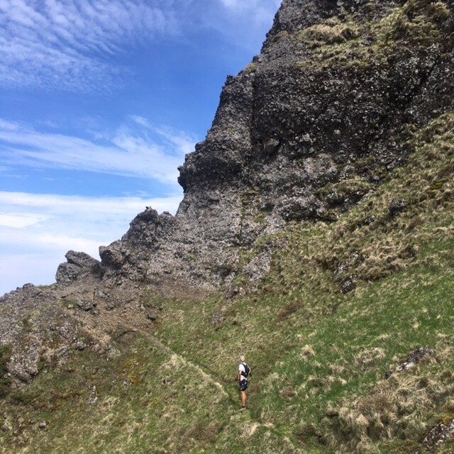
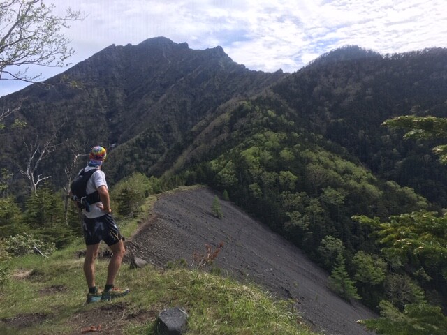
Images