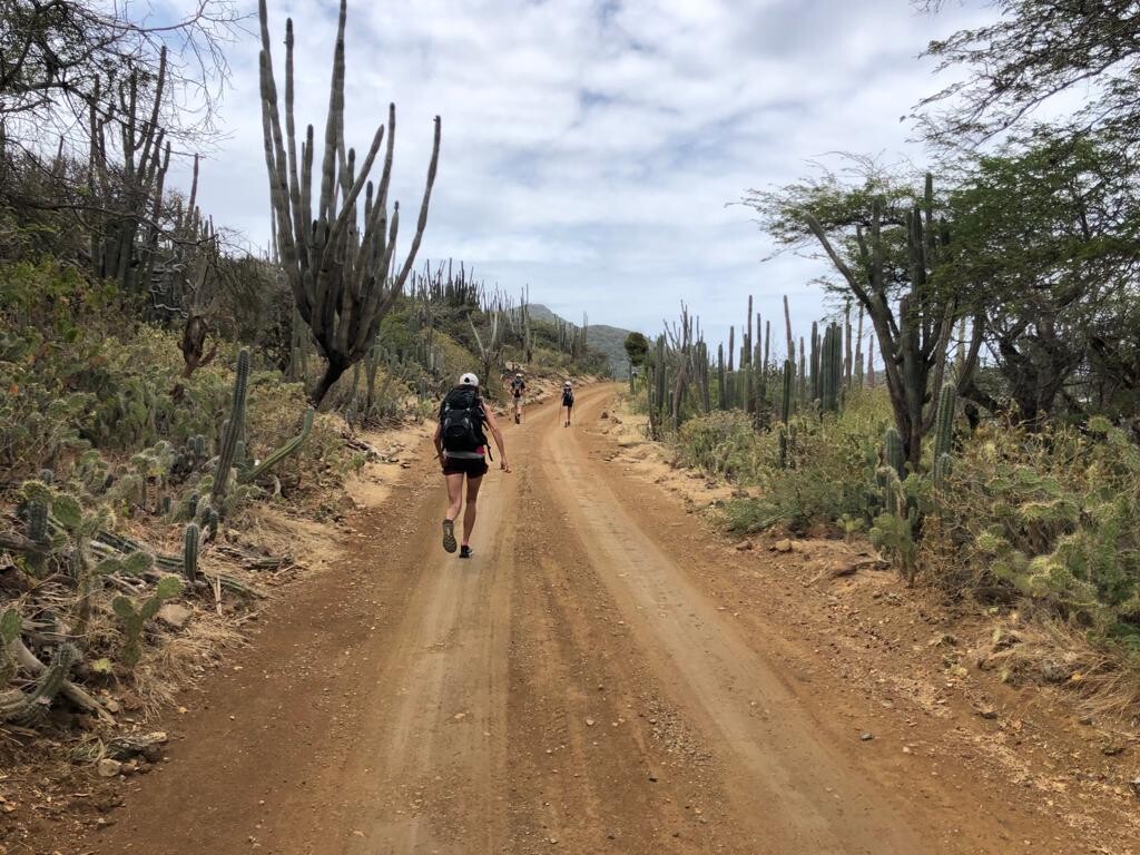
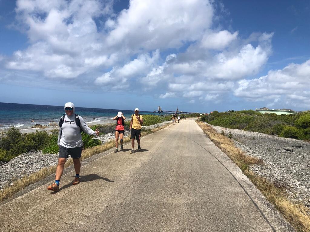
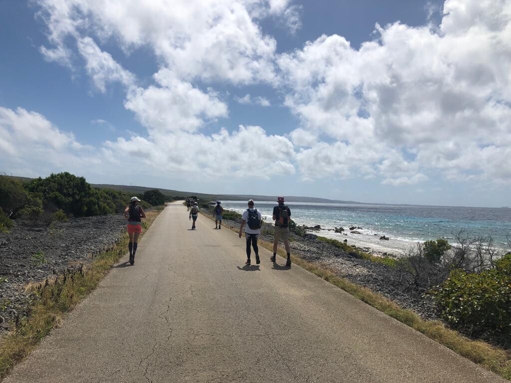
The hike around Bonaire is 116 kilometers.The route follows as close to the shoreline as possible and it runs partially over paved roads but 50% of the route runs over unpaved roads and hiking trails. You pass the famous salt flats in the south and hike by the popular tourist atraction white slave huts, along lighthouse Willemstoren, around Lac Bay and past the rough east coast all the way up north past the Lighthouse of Spelonk, the windmills at Morotin and over the 'long route' thru National Park Washington Slagbaai where you exit via Playa Frans back to Kralendijk the Capital of Bonaire.
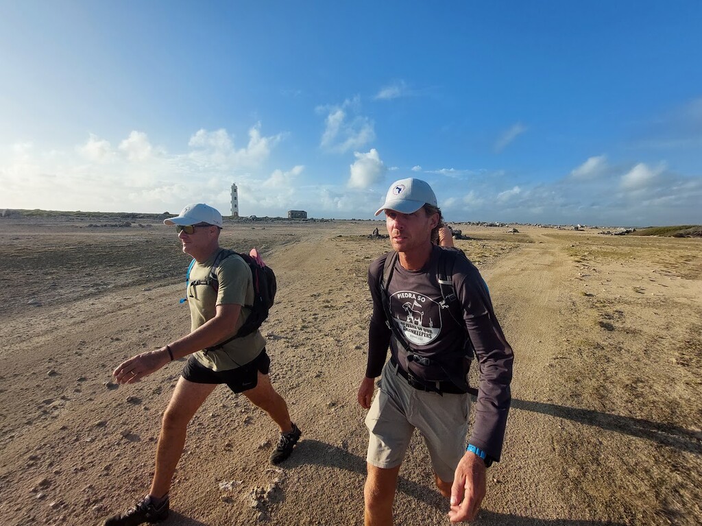
You can choose to start anywhere you like since the route is completely along the coastline of Bonaire and can be hiked either clockwise or anti clockwise. You pass by all major tourists attractions and all three lighthouses on Bonaire.