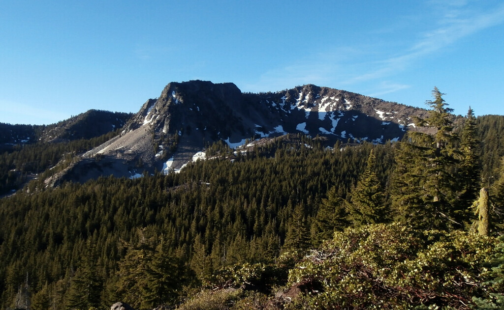
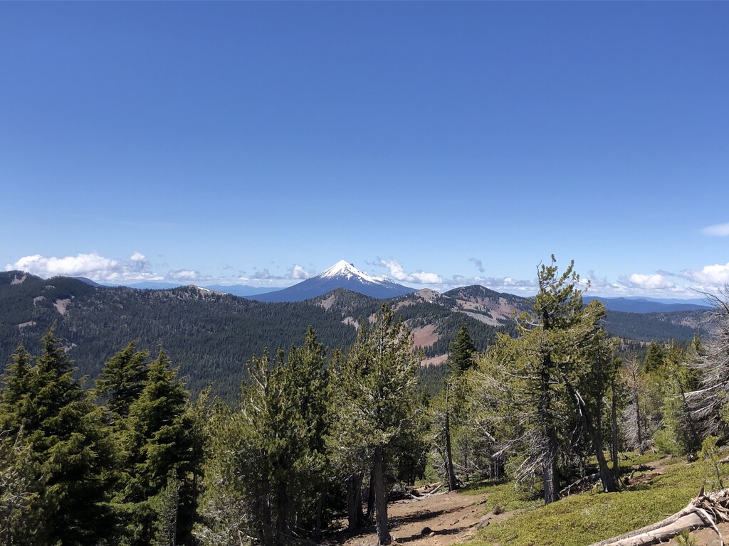
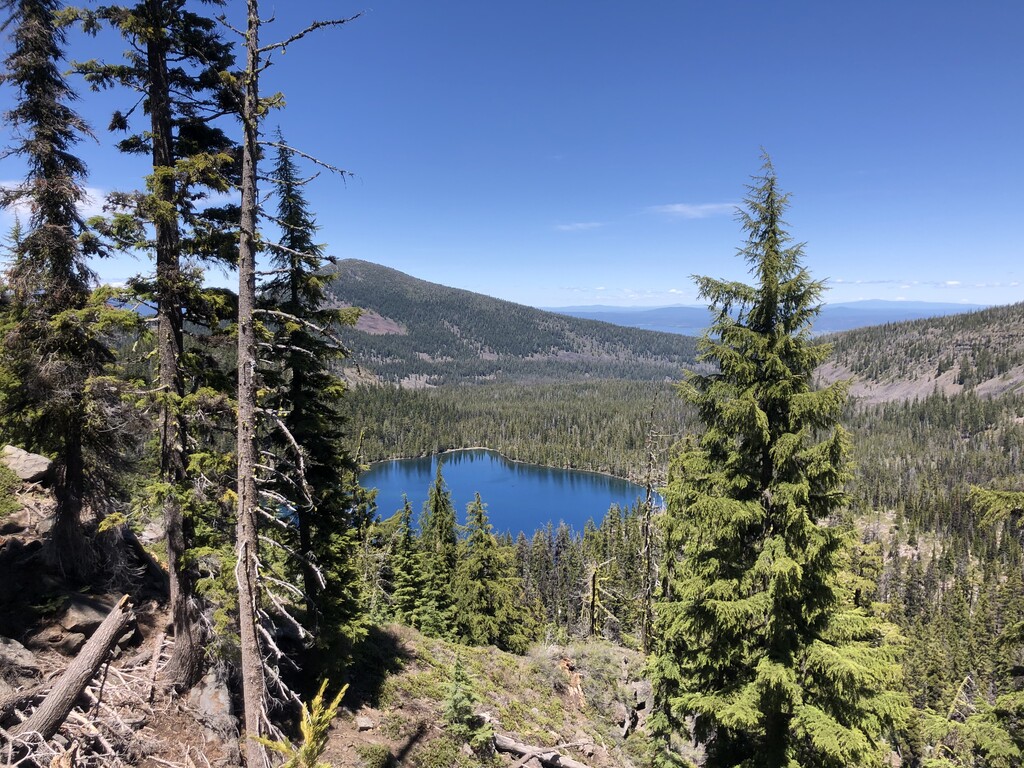
The Aspen Butte Duathlon starts (as all Klamath Falls human powered efforts do) at the corner of Main St. and 11th street in the parking lot across from our local running store. The effort consists of a 31 mile bike approach, leaving town on Oregon Highway 66 for 11 miles and continuing west on Clover Creek Road for another 16 miles before taking National Forest Development Road 3852 the final 4 miles on gravel to reach the Clover Creek Trail Head. The Clover Creek Trail heads up into Southern Oregon's scenic Mountain Lakes Wilderness and catches the Mountain Lakes Loop Trail after 3 miles via the Clover Creek Trail proper, or via the Clover Creek Cutoff Trail. After gaining the Mountain Lakes Loop trail, follow the path east towards Aspen Butte. After 1 mile on the loop trail stay to the rim and follow the sign (Aspen Butte 1.25 miles) to the summit of 8,215 foot Aspen Butte, the highest point in the Mountain Lakes Rim. From the summit, descend the same route back to the trail head and complete a 31 mile trip back to the start in downtown Klamath Falls. In total this human powered effort gains 6,493 feet of elevation in a 3 leg dual sport classic, covering roughly 62 miles on a bicycle and close to 11 miles of gorgeous single track in the heart of the Oregon's Southern Cascades, and Mountain Lakes Wilderness. This route features excellent vantage points with stunning views of both Mt. McLoughlin to the west, and Mt. Shasta to the south. Water can be sourced seasonally from many high mountain lakes, and fro Clover Creek during the spring.