Route: Bandera Peak (WA)

Submitted by hollyalpine on Thu, 08/26/2021 - 12:15pm
Location
Washington, US
Distance
3.5 mi
Vertical Gain
3,000 ft
Description

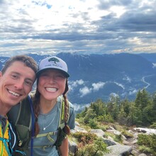
For the first mile and a half, it is gentle and wide as it follows an old road bed (about halfway through this first section, a water crossing may be somewhat difficult during times of heavy runoff). Past the bridge, the trail departs the old road and heads more steeply uphill. Occasional breaks in the trees enable partial views of Rainier to the south. In another mile and a quarter, after a series of looping switchbacks, the trail to Bandera and the trail to Mason Lake part company as the way to Bandera heads straight uphill through a meadow of beargrass and bleached stumps of trees burned in a fire long ago. The next fifth of a mile is steep –- in fact, one of the steepest stretches of trail you’ll find, gaining one foot of elevation for every two feet it travels. The trail soon reaches a ridge and heads east along it. At times, it becomes somewhat difficult to follow as it enters minor rock fields, until reaching Little Bandera, technically a false summit. The route, and the vast majority of people, turn around here after pausing to picnic among the blocky granite and stunted firs. 

For FKT purposes, timing starts (and ends, for car-to-car times) at the Ira Spring Trailhead. 

GPS Track
Images