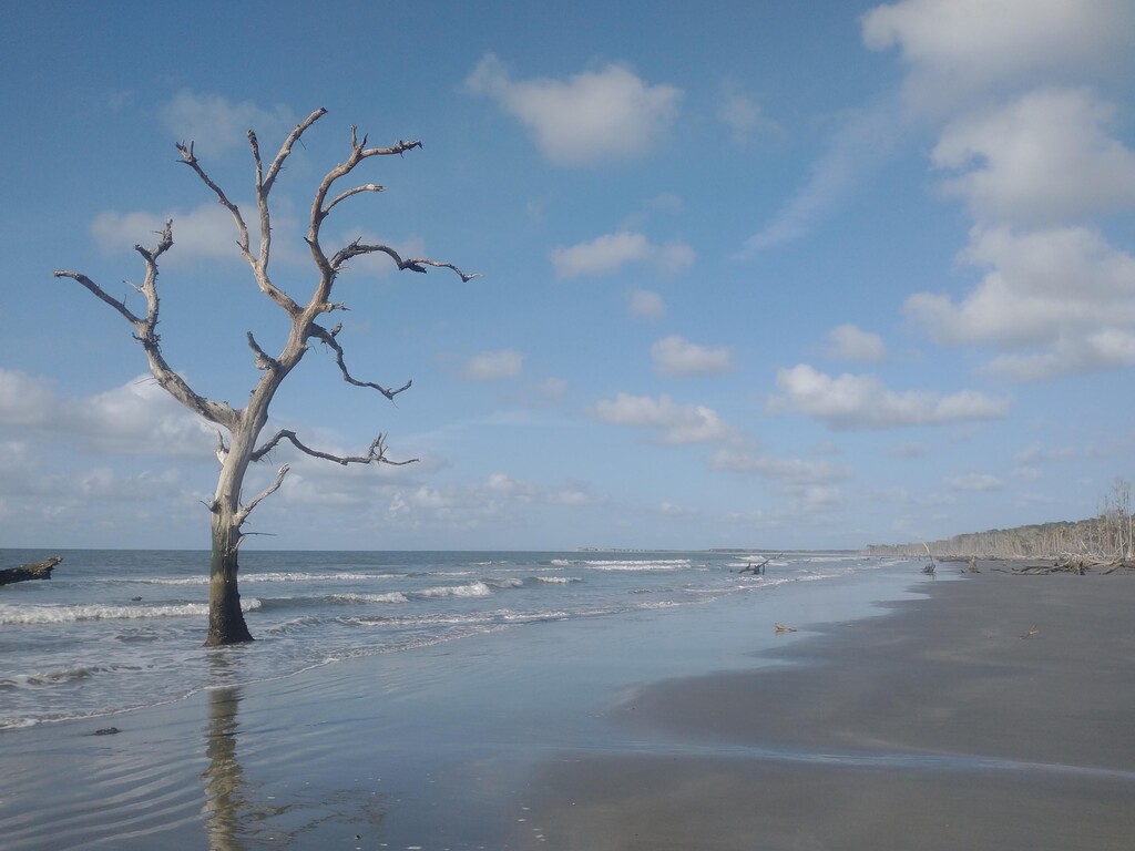
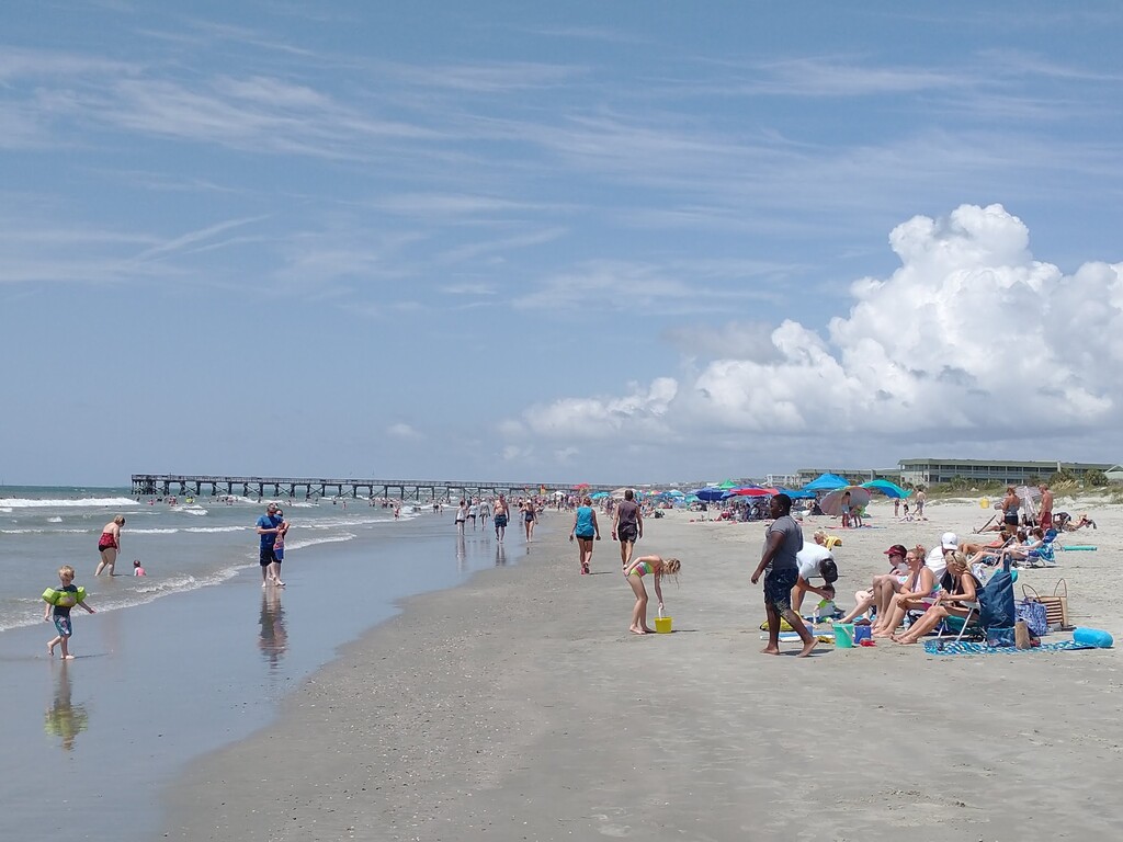
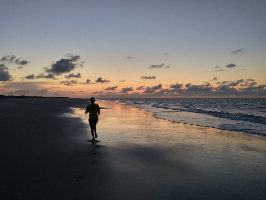
This is an out-and-back beach running route that connects three islands by crossing the water between them. The route begins and ends at the pier on Isle of Palms and travels the front beaches of Isle of Palms, Dewees Island, and Capers Island, turning around at the far northeastern tip of Capers Island and returning to the start. The route requires swimming Dewees Inlet and Capers Inlet twice each, totaling close to a mile of swimming in addition to 23 miles on foot. Isle of Palms is a developed residential island popular with visitors, while both Dewees and Capers are accessible only by water. Capers is uninhabited, and Dewees is a private island--though its beach is public below the high water mark, as is generally true of beaches in South Carolina. Capers Island is home to a "boneyard beach" which develops when a forested area erodes into the surf creating a distinctive landscape of dead trees, sand, and water.
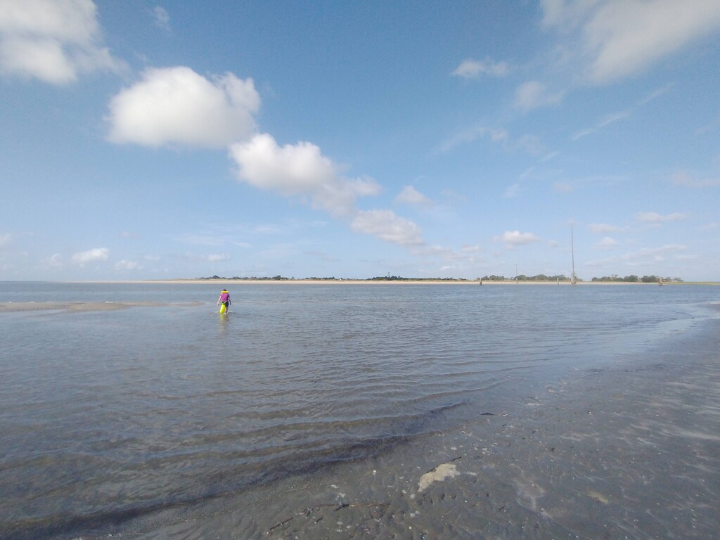
The water crossings are the crux of this route, and they are legitimately dangerous. Tide waters that accumulate behind the barrier islands flow powerfully out to sea when the tide goes out. Motorboats, sea life, and other hazards of open-water swimming also apply. It is crucial to understand the tide schedule to ensure firm runnable sand, legal passage on public land, and safe crossing of inlets. A flotation device or even a pack raft may be appropriate. Research and preparation are required.
This route draws inspiration from ÖtillÖ (island-to-island) routes in Sweden as well as from swim-mandatory routes in the US, such as R2R2R-alt. The route begins in a developed area with parking and public facilities, and proceeds to a remote uninhabited island with a delightfully wild feeling and remarkable views. The risks and rewards are considerable, and they are unique to this route.
Guidelines
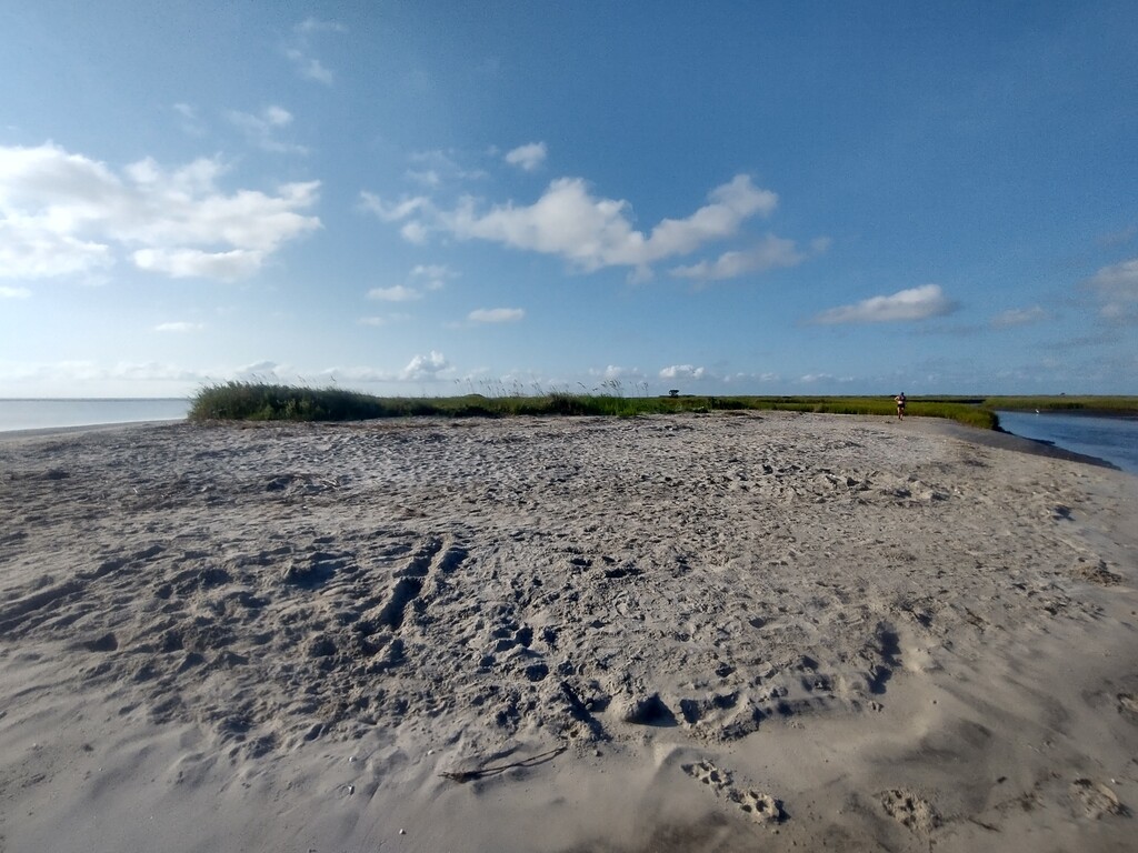
Start and finish touching the public pier on the Isle of Palms beach. Choose your own swim routes across the inlets--minimize swim distance, but also take into account considerable drift if crossing at rising tide. If you cross at falling tide, you risk being carried out to sea. Run the beaches until you reach the very tip of Capers Island, where the sand makes a final curve to the left at Schooner Creek and ends in marsh grass. If you run when the tide is low, you should be able to stay on firm wet sand. As a rule, stay below the vegetated sand dunes--though changing beach conditions may occasionally require adaptations.

Comments
What are some other mega-classic USA SwimRun objectives that can/should be included here on fastestknowntime.com?
Good question, Jason, and I'm not sure I can answer it. We don't have a strong tradition of swimrun in the US. Some places that come to mind for me are the Florida Keys, Outer Banks, Chincoteague/Assateague area, Long Island, Maine coastline, several spots in the Great Lakes (Green Bay to the UP?), Puget Sound and the San Juans, and maybe the Channel Islands. I'm sure I'm missing 100 promising locations, especially inland.