The Big Belly Traverse ( Gros Ventre means "big belly" in French) is a link up of the highest ridge line in the Gros Ventre range, from the eastern side of the range by the Wind Rivers to the far western side in Jackson Hole. While the route can be done in either direction, the benefit of traversing from east to west provides great views of the Tetons as well as summiting the harder and higher peaks earlier in the effort.
For the east to west direction the route begins at the Rock Creek trail ( trail can be accessed by a USFS road on the west side of Green River) and ascends towards the Tosi Basin via a trail that becomes quite faint to non existent about 9 miles up. From there leave the trail, cross the creek, and ascend up grassy meadows and forest to gain the ridge before The Sawtooth. Traverse the ridge westward/ north westward over Tosi Peak, the Elbow, and over Eagle Peak and Hodges Peak. Be aware of cliffs along that ridge.
After Hodges Peak head towards Doubletop via a basin and shelf to gain the ridge off the southwest side of Doubletop. Summit Doubletop (highest peak in the Gros Ventre Range) in a short out and back before dropping down along a high shelf covered in incredibly sharp rock. Before the shelf heads upward, drop down through the cliff via a 4th class gully and head over a saddle between basins.
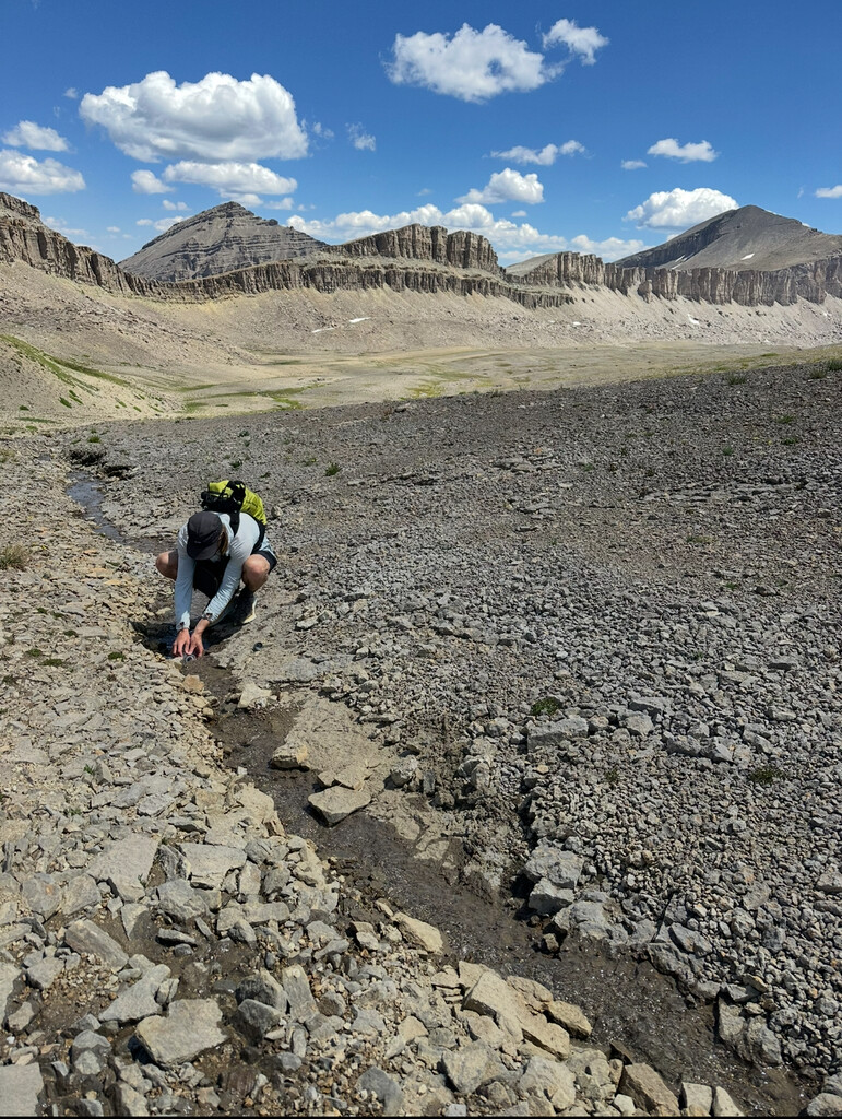
Follow the high west side of the basin below Palmer Peak, Steamboat, and the far side of Corner Peak. At the next saddle join the trail towards Swift Creek briefly before climbing Antionette Peak. This is a great place to refill water as water becomes very sparse on the rest of the ridge, especially later in the summer. From the summit of Antionette, follow the western ridge downward to a loose steep gully to connect to a saddle and shelf below Peak 11205. Follow the shelf downward and then ascend up to the ridge again via a shallow gully. There are two gullies that can be taken but the one to the north is easier. Keep in mind the gullies can hold snow late into the season. Once through the the gully, ascend Peak 11196 and follow the ridge in a north western direction as it weaves through a rocky maze. The ridge will drop down to Packsaddle Pass and then up again to Pyramid Peak. Packsaddle Pass is the last good place for water on the route. There is a snowfield with a small stream just to the northwest of the pass that flows late into the summer.
From Pyramid Peak follow the ridge to the open grassy plain all the way to the Nose of Sheep Mountain. Drop off the Nose down the south eastern ridge and connect with a trail down towards Flat Creek Trail above Flat Creek Ranch. Finish at the trailhead just outside the ranch.
Few notes on the linkup-
The true ridge between the SE side of Doubletop Peak and Hodges is not connected on the route because of dangerous cliffs on the SE ridge of Doubletop.
The traverse goes under rather than on the ridge between Steamboat Peak and Palmer because of cliffs. Palmer could be summited in a more out and back style however it makes the route less flowy.
The true ridge between Antionette Peak and Peak 11205 is not traversable because of large cliffs on the south side of Peak 11205.
There is a lot of very loose rock in the Gros Ventre. Be very careful climbing and descending any steep aspects. Water becomes very scarce later in the summer. There is usually water to be found in the basins when water on the ridge dries out. The Gros Ventre Range is home to grizzly bears, black bears, mountain lions, moose and other wildlife. Be aware and carry bear spray.
Variation options: Apparently there is a way to connect the true summit of Sheep Mountain to the Nose of Sheep via a steep loose gully off the summit. It would make a more aesthetic line but increase the danger and risk by a large margin. Summiting Palmer Peak or Corner Peak would be nice additions although it would be a bit more of a contrived out and back to the linkup line.