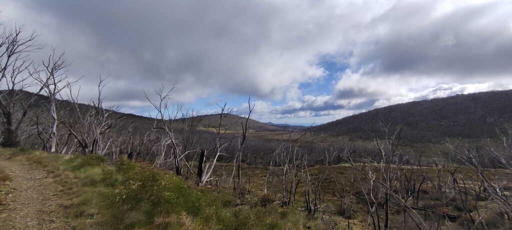
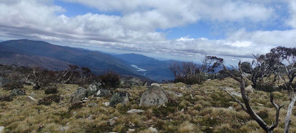
The Bimberi Banger is a new route linking Corin Dam to the highest peak in the ACT, Mt Bimberi. It's a challenging 75km route for runners with beautiful scenery linking together some of the best trails in Namadgi National Park.
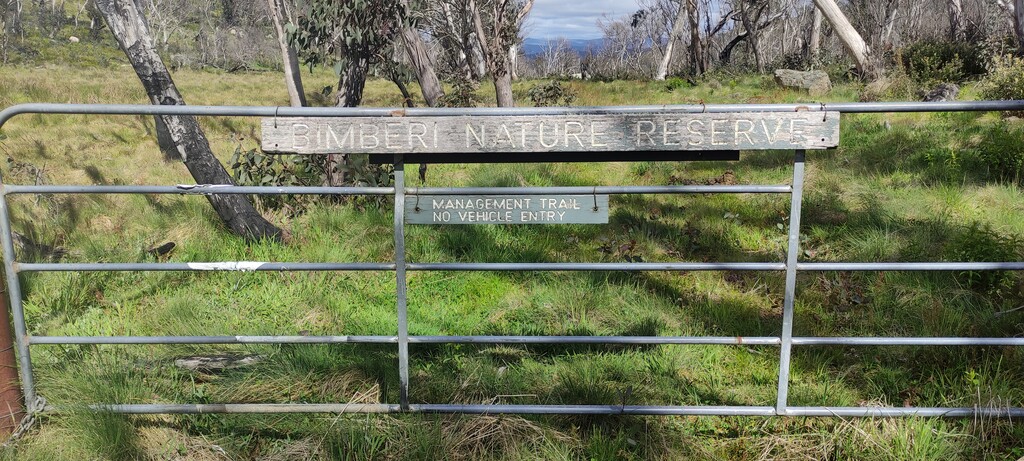
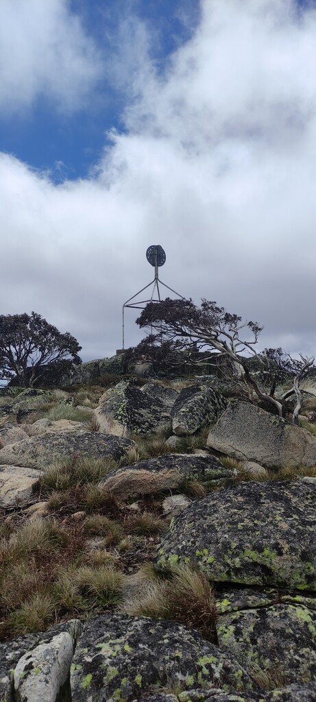
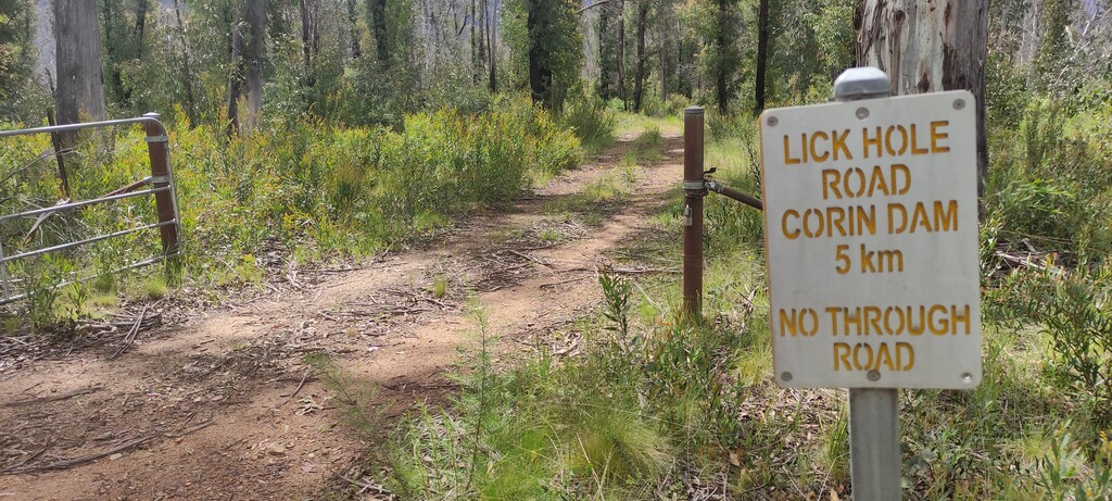
Start at Corin Dam carpark. Ascend Stockyard spur to Pryor's hut. Continue south to Leura Gap FT and ascend to the NSW boarder. At the fence continue ascending to the south off trail (gaiters highly recommended) and travese three high points. The third of these is Mt. Bimberi, which has a trig marker and a summit log. Write an entry in the summit log before descending the Mt. Bimberi summit trail to Murray's Gap. Continue east down Murray's Gap FT (a section of the AAWT) to Yaouk Trail heading north. Yoaok Trail becomes Cotter Hut Trail (right at the fork - do not ascend Mt Franklin Road). Continue past Lick Hole Road to Smokers Trail. After a long uphill section there will be a trail marker on the left for the connection to the Square Rock Walk. At the Square Rock Walk junction turn right towards the carpark (2.5kms). A the carpark take a left onto Corin Road. It's about 9km back to the dam carpark. Finish where you started.