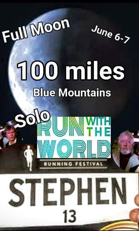
100 Miles: part roads, part trails; all Mountains.
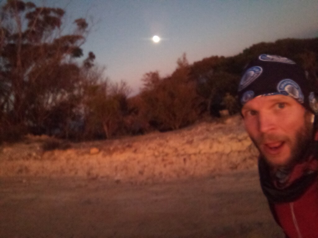
For optimum experience, should be done during the rise of the full moon & completed within a 24hr period: 0300-1500.
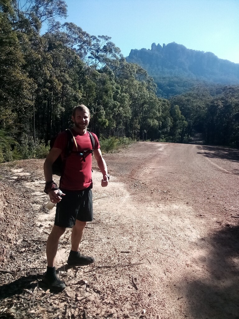
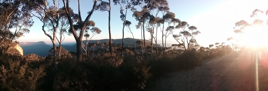
Starting at the Katoomba YHA & finishing at the Gully (1km away) You will flying visit Six Foot Track/Convict graves/Explorers Tree, run the whole of Narrowneck to the end & back, take the Highway to Woodford then run to Glenbrook via the Oaks trail. (W2G) You then take the highway once again for a predominantly uphill slog all the way to Wentworth Falls, where you turn around and head back to the Old Queen Vic & run the UTA22 course to down Kedumba crossing Jamison & Leura Creeks, then up through Federal Pass & Furbers Steps to Scenic World, before heading back into Katoomba to finish the run at the Gully.
The Gully run is a significant place of local heritage ; making up the final kms here is a self guided free for all & a nice place to finish your days journeying. When I planned the route, I knew the mapping & the reality would be slightly different, so I completed the final couple of kms or so on the Gully paths and trails. Anyone looking to follow the route exactly that's great, but the last few kms once in the Gully, just run free with your spirit until the Miler is finished, then crack open a beer & have a rest. Job done! Short recovery walk back to YHA & town centre.
Handy self-supported virtual Checkpoints:
CP1 Katoomba YHA where you started, you return past here and the High street at around (42km). Fill up!
CP2 Start of Oaks trail between Woodford to Glenbrook. Tap at trail head. Fill up! (65km)
CP3 Glenbrook car park at National Park, taps and toilets. Fill up & more! (100km)
CP5. Wentworth Falls town centre Fill up! buy food, whatever you may need for the final stretch. (128km)
Emergency last chance saloon: Any tap you can find close to the Old Queen Vic before you head down Kedumba, either that or have a life straw and take your chances with the creek, tourists and trail users (or puddles if there are any). Also once at Scenic World there are taps and toilets & you're a stones throw the finish.
All the best!
- Submitted by Stephen Lomax

Comments
Hi, Stephen Lomax here. I made an error above, virtual CP3 Glenbrook NP is in fact around the 90km point.
Also, at Linden station I was desperately in hope of finding a vending machine for a Powerade or Coke or anything, that's why the route does an odd loop there, so if you want to be true to the route just go up the station cross the over track bridge, down the stairs, left of the station building to loop it as though you are searching for a vending machine, and back up and down the stairs the way you came. There's no effing vending machine; should save you disappointment & swearing! Best bet grab something at Glenbrook. No shortage of taps on the route, carried fluids can be minimised right into the end of Tableland Road. All the best, Steve
And yes, it should also be 15:00-15:00. I set off at 1500 Friday finished close to 1500 saturday, chiz.